
February 10, 2023 – Osprey to Miami Cruise Port
We were scheduled for a 1:30 pm check-in for boarding our cruise ship, Riviera. It is a roughly 3 ½ drive for us. We were accompanied by Warren and Luellen, our friends of 40 years. They had been our guests in Osprey for several days before our departure. We left around 7am so that we could meet my cousin, Don, for brunch on our way to the Miami Cruise Port. After a pleasant meal, we headed to the port, arriving well ahead of the scheduled check-in time. Our other friends from New York checked-in at the same time. After a few security checks and a long line, we were checked-in and boarded the Riviera.
Our rooms were not available until 3pm so we went up to the Terrace Café for buffet lunch. This my first test of my goal of not overeating on the cruise. I had a salad and a dessert and felt that I met my goal. The four couples making up our group were in adjacent cabins, so we all went to Deck 8 to await the arrival of our luggage and settle in.
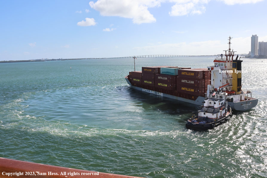
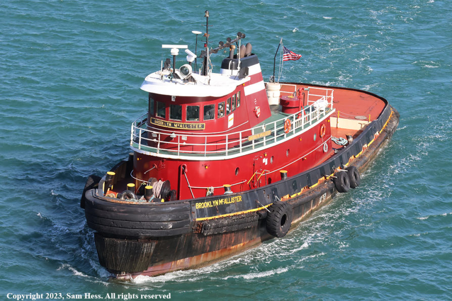
The Riviera is a small cruise ship (785 ft in length) with a maximum capacity of 1250 passengers and a staff of 800. It departs from Terminal J, which is located among the container ship docks. The ship was oriented west, toward the land. At 6pm, the ship started its departure from Miami. Many of us were out on our balconies watching the ship back up on a narrow channel, with the assistance of a tug. When we reached a wider part of the channel, the ship, using its thrusters and the tug at the stern, made a 180 degree turn and headed east towards the Atlantic.
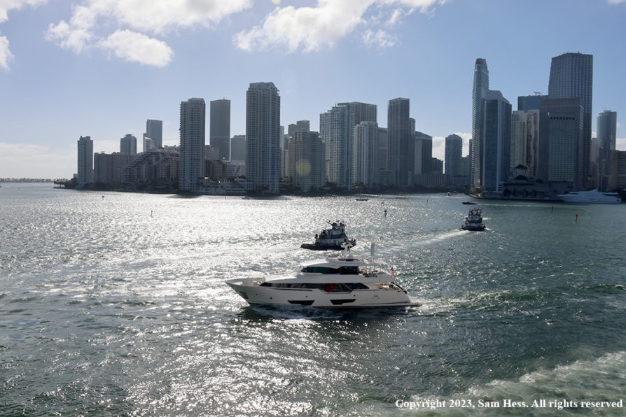
The much larger Riviera made the same, tug assisted, turn in order to get into the channel.
It was now 7pm, time for dinner and another test of my goal of not overeating. Our group sat at one of the two tables for eight in the main dining room. The menu came and my resolve failed me… I overate. Overeating, a glass of wine, and a long day got to me, and I decided to go to bed. Susie and the others went to the theater for a show.
February 11-12, 2023 – At Sea
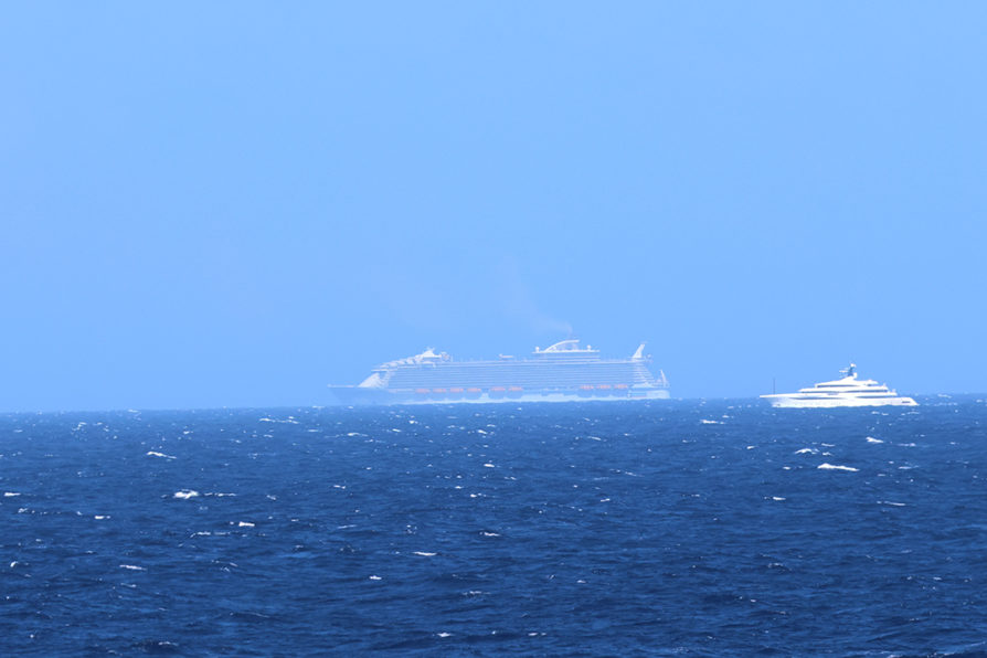
All I can think of is the lyrics from a song I heard a long time ago, “A sailor went to sea to see the world and what did he see, he saw the sea.” That pretty much represents these day. Our first stop is Basseterre, St. Kitts, over 1,000 miles from Miami. We dock there on February 13th.
I got up early and could barely see the coast of Cuba to the south of us. I decided that I would exercise by walking on the top deck. We had strong winds and the deck that I was planning to walk on was closed on both days. I wound up doing core strengthening exercise on the floor of our cabin.
February 13, 2023 – Basseterre, St. Kitts
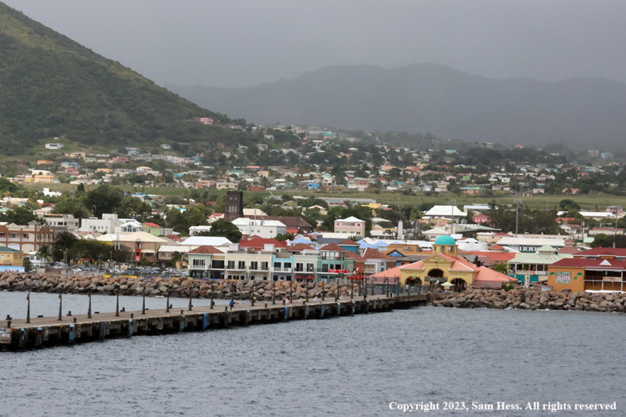
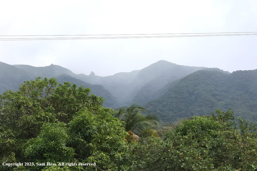
I woke up this morning to grey skies and a light mist which eventually turned to a period of rain. While I was eating breakfast, the captain announced that due to strong wind and currents, we would reach the pilot pick-up point at 11:30. Scheduled arrival time in St. Kitts was 11am. The ship was welcomed to the port by rain squalls, a normal part of the Caribbean experience.
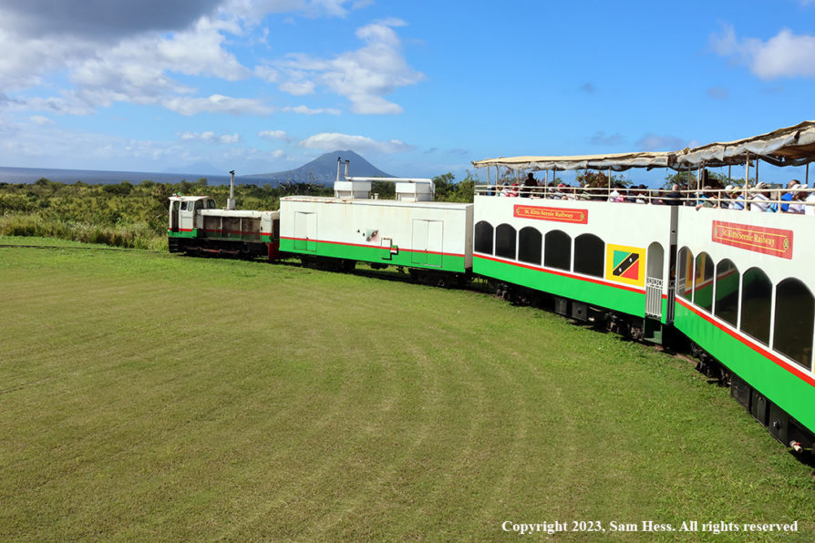
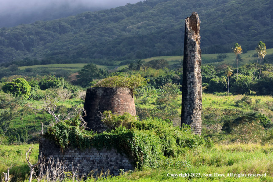
Our shore excursion was a scenic train ride around the Island. We boarded a bus that took us to the train station, a 30-minute ride. The train ran on a narrow-gauge track built in the early 20th century to carry sugar to the port.
The sugar industry was ended in 2000 because it could not compete with other producing sources. As a result, tourism became the economic engine of St. Kitts. The train was turned into a tourist attraction. Passenger cars are double-deckers, with upper deck being open and the lower deck having windows and air conditioning. After riding for about 45 minutes on the upper deck, I got a little bored because the scenery didn’t change much and headed down to the enclosed portion of the car.
At the end of the train ride, we boarded the buses back to the ship. The busses dropped us off in an area filled with shops. Susie, as she does on most of our trips, went in search of a refrigerator door magnet. The ship departed St. Kitts at 6:30pm.
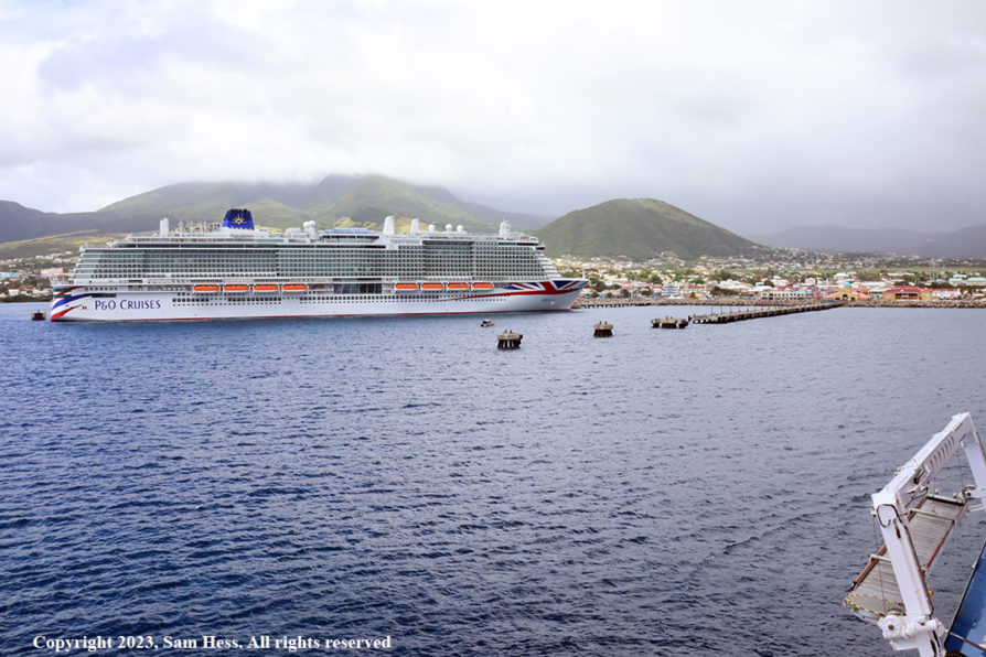
We were lucky to miss them
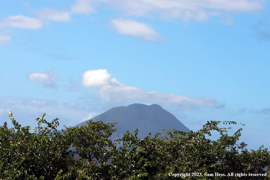
Mount Liamuiga
February 14,2023 – Kingstown, St. Vincent
Map of St. Vincent and the Grenadines
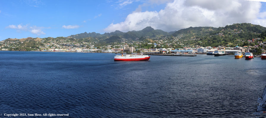
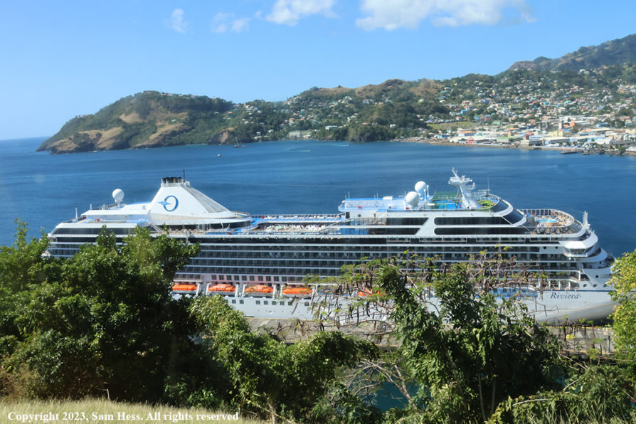
We arrived in Kingstown, the capital of St. Vincent and the Grenadines on time. The port area of Kingstown is, like other tourist destinations, filled with shops selling souvenirs and other items targeted to tourist trade.
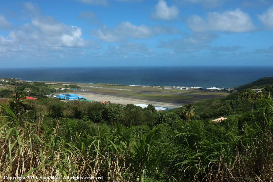
Our excursion was “A Panoramic Tour of St. Vincent.” The tour started at 12:15pm and lasted about two hours. This island certainly provides panoramic views of houses clinging to the hills. Crops are growing on steep hillsides. We drove through several villages, some had mansions on the hills and private homes and apartment buildings in the lower portions. Halfway through the tour, we stopped on a lookout that had a grand view of the Mesopotamia Valley. It is thought to be the remains of an extinct volcano and is considered the heart of the agricultural business in St. Vincent.
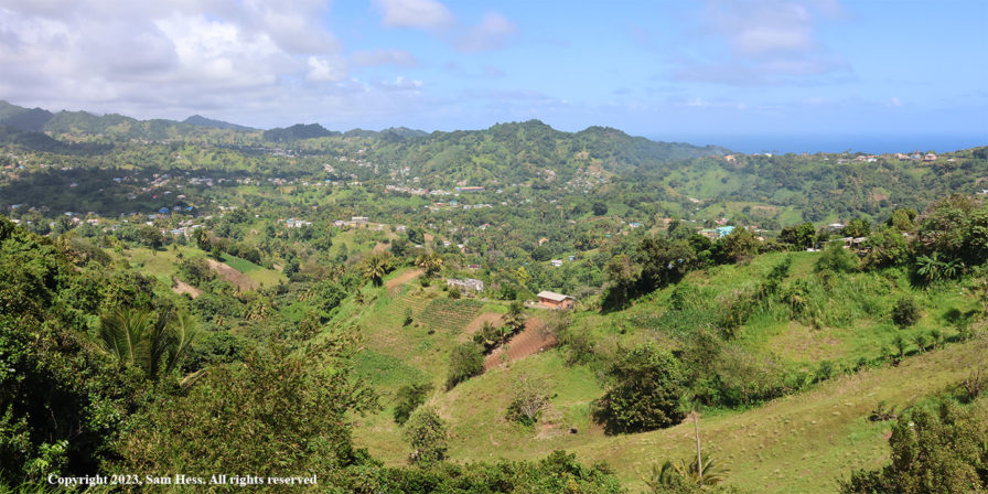
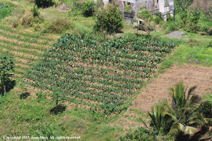
This crop is in the center of the panorama, above.
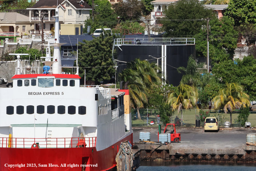
Tourism is the main economic engine for the island. It followed the decline of the sugar and banana industry because of competition from Central America. St. Vincent has long produced a very strong rum which was based on the molasses derived from the sugar crop. Ironically, the molasses is now imported from elsewhere. A large black tank stands in the port area to remind locals of the past. That tank contains the imported molasses.
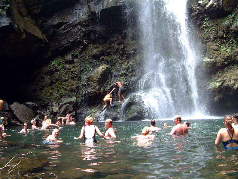
The tour did not cover the northern part of the island which contains the La Soufriere volcano. The volcano erupted on April 9, 2021, sending a plume of ash six miles into the sky spreading all over the island and into neighboring islands. Because the volcano had shown increasing activity for several month, the government issued an evacuation order for the northern part of the St. Vincent. No one was hurt and property damages were limited. Some areas had several feet of ash on the ground. Clean-up was slowed by heavy tropical storms and rain events. Susie and I visited a waterfall and natural pool at the base of the volcano in 2003 while on a Windjammer cruise. I can’t imagine what that beautiful area looks like today.
February 15, 2023 – Roseau, Dominica
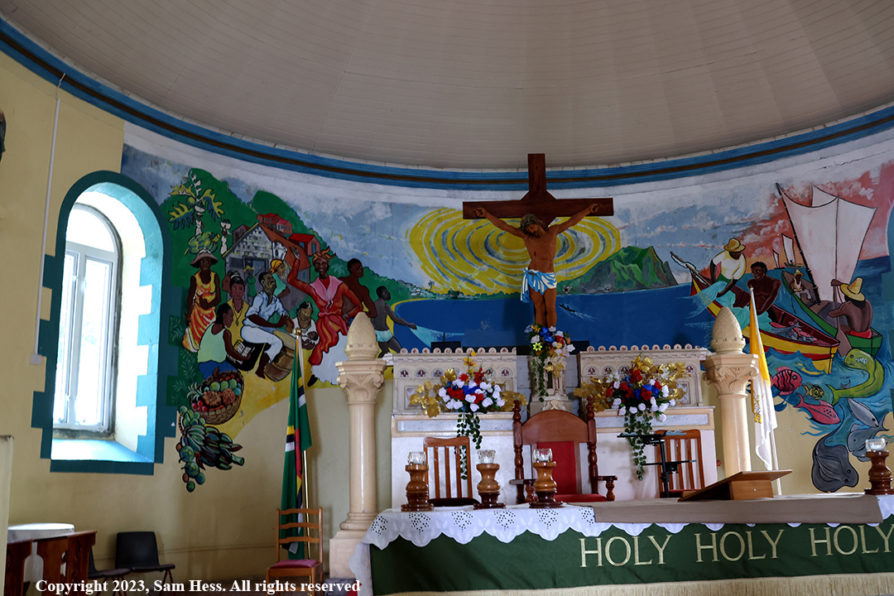
We arrived in port of Roseau around 7am. Roseau is located on the leeward (Caribbean) side of the island and is Dominica’s capital and major urban center. Over the last 2,000 years, Dominica was populated by Amerindians from the northern coast of South America. The island was sighted by Columbus on a Sunday in 1493 and was named Dominica, the Italian word for Sunday. In the 17th century the French built a small settlement and named it Roseau.
Our tour was scheduled for a departure at 9:45. The normal leisurely breakfast was out of the question. The tour focused on the southwest coast of the island.
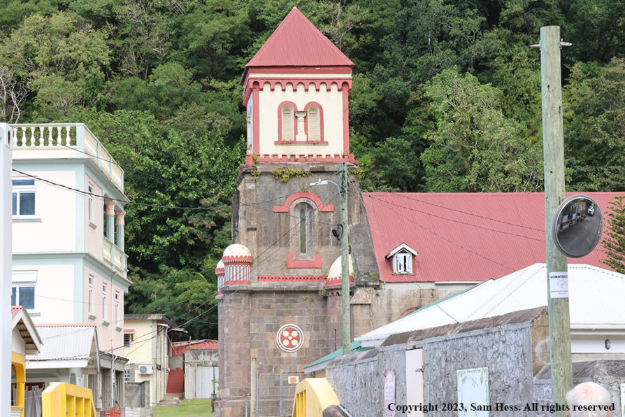
As soon as you walk out onto the dock, you get an initial feel of the ruggedness of the Island. Before could get to the “nature” part of the tour, we had to navigate the narrow streets of Roseau. After leaving Roseau, we drove through several contiguous villages before getting to a less populated environment.
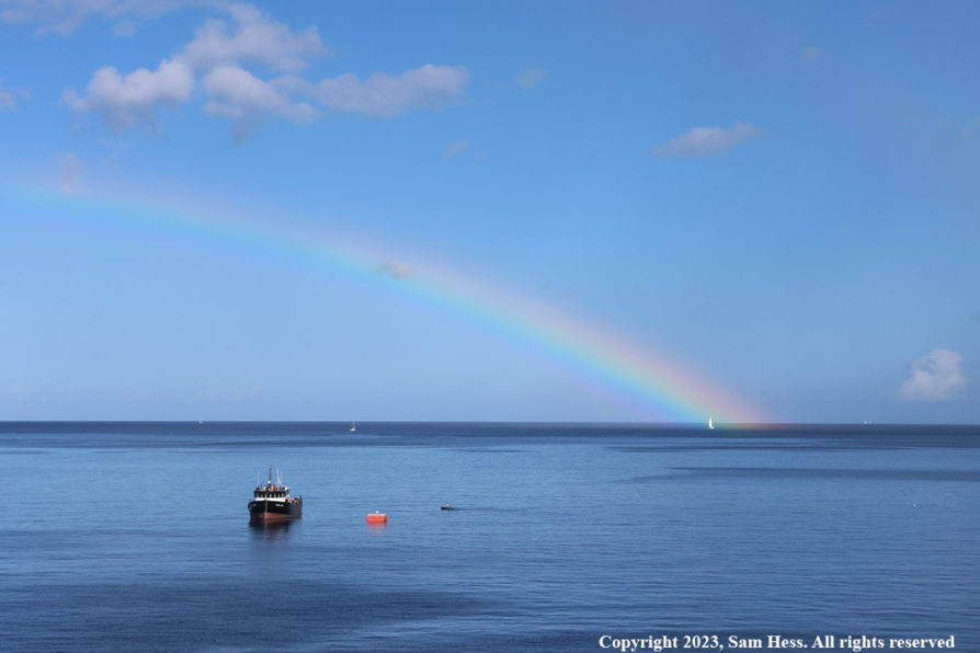
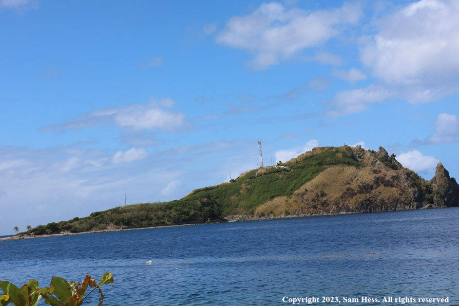
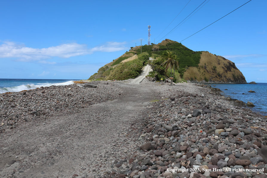
The road did not get any wider as we left the Roseau area. It hugged the side of the mountains as it climbed up and ultimately to a coastal section of the road. Our first stop was a lookout that gave us a view of the southwestern tip of the island, the Soufriere Bay Marine Reserve and Scott’s Head. We stopped at the end of the road and walked out on the narrow neck leading to Scott’s Head. The neck separates the Atlantic Ocean (rough surf) from the Caribbean Sea (calm seas). Soufriere Bay is an active sunken caldera. Heading back north, we stopped at Bubble Beach. The water at edges of the beach is heated by the volcanic activity and gas bubbles can be seen.
We continued north back to Roseau and drove through the Botanical Gardens, eventually stopping at a lookout where we viewed the city below.
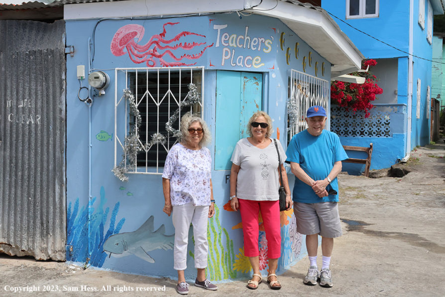
I would have to say that Dominica was our favorite island. The beauty of the island speaks for itself. Our guide was excellent and didn’t hesitate to discuss the political environment on the island.


February 16, 2023 – St. Barts
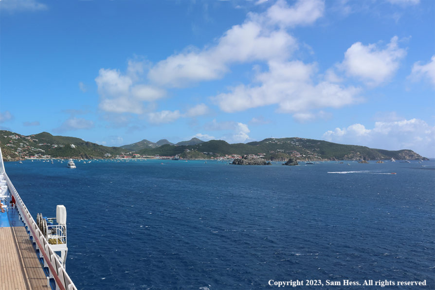
St. Barts is considered to be one of the most beautiful islands in the Caribbean. I could not give my opinion since we never left the ship.
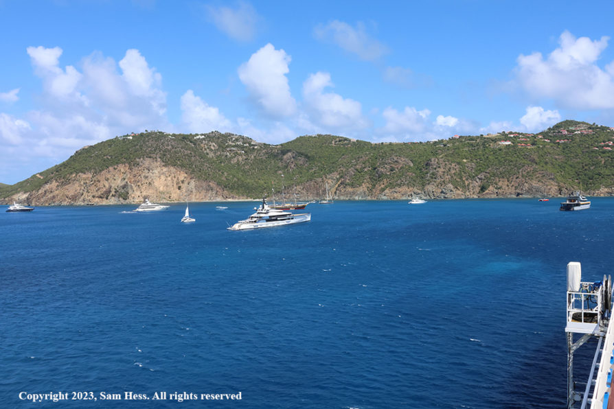
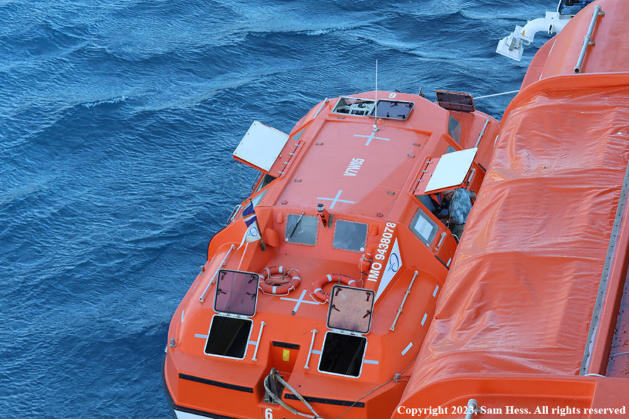
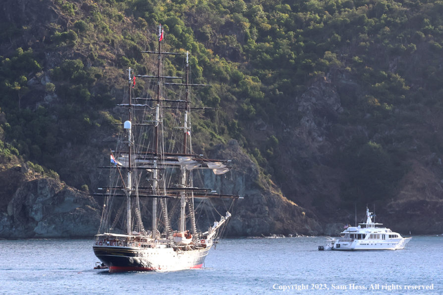
Gustavia, the main town of this French Island and its major port. For a ship the size of the Riviera, there are no dock facilities and access to the shore is provided by tenders (the ship’s life boats). Looking around the harbor, I would have to say that, based on the number of large yachts anchored in harbor, it is a favorite of the very rich.
When we arrived in the harbor, the wind was blowing strongly, and high swells made the loading and unloading the tenders dangerous. The original schedule was to start tendering at 8am. Looking from our balcony I could see the difficulty the tenders were having approaching the ship to tie up at the boarding area. One tender made four approaches before successfully tying up to the ship. The captain announced that because of the rough seas and strong winds the tendering was postponed to 9am. As of last night, Susie and I were to go ashore, while our friends were going to stay on board. We didn’t have any excursions, so we also chose to stay on board. At 10am the captain allowed the tendering to proceed. The captain frequently repositioned the ship so that its bulk would provide some shelter for tendering operations.
February 17, 2023 – San Juan, Puerto Rico
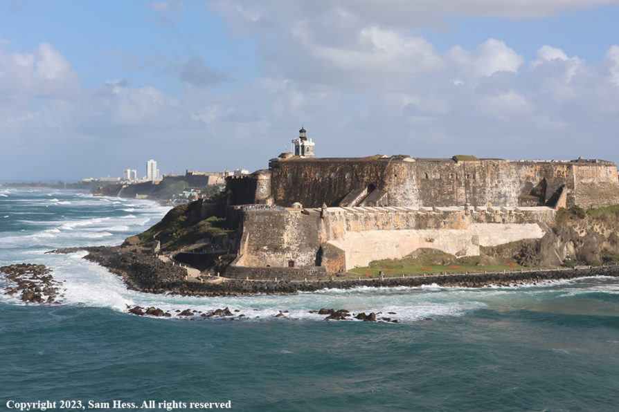
We arrived at the entrance to San Juan Harbor early in the morning. I was up hoping to get a good picture of El Morro Castle guarding the entrance to the harbor. By the time I got on the balcony, I missed the shot and had to wait until we were leaving the harbor. The lighting was better in the afternoon.
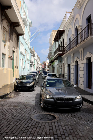
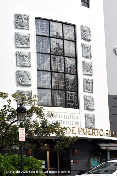
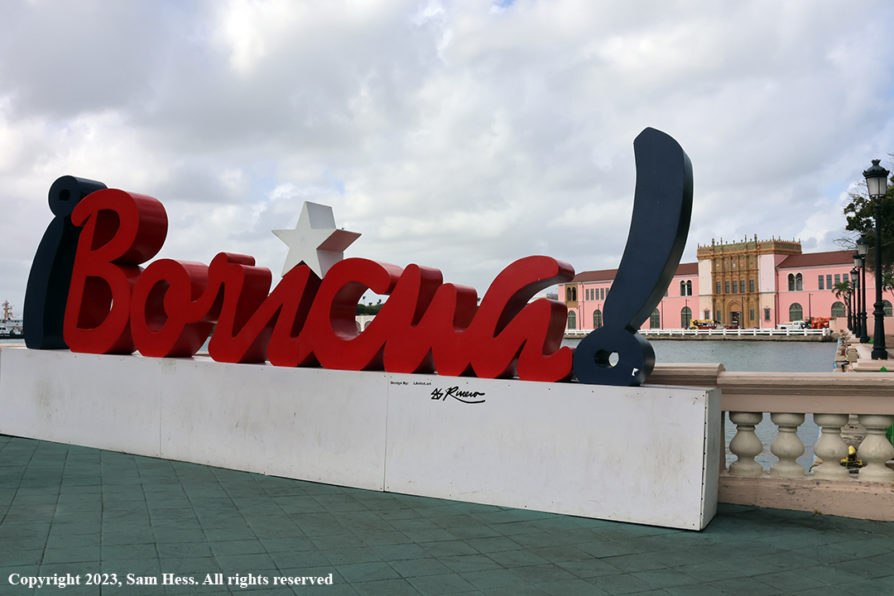
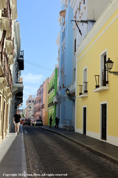
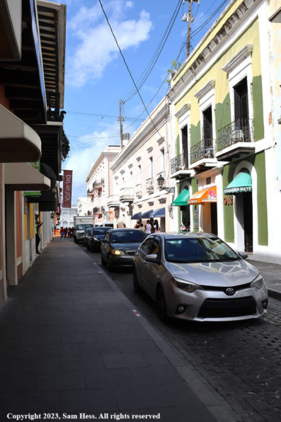
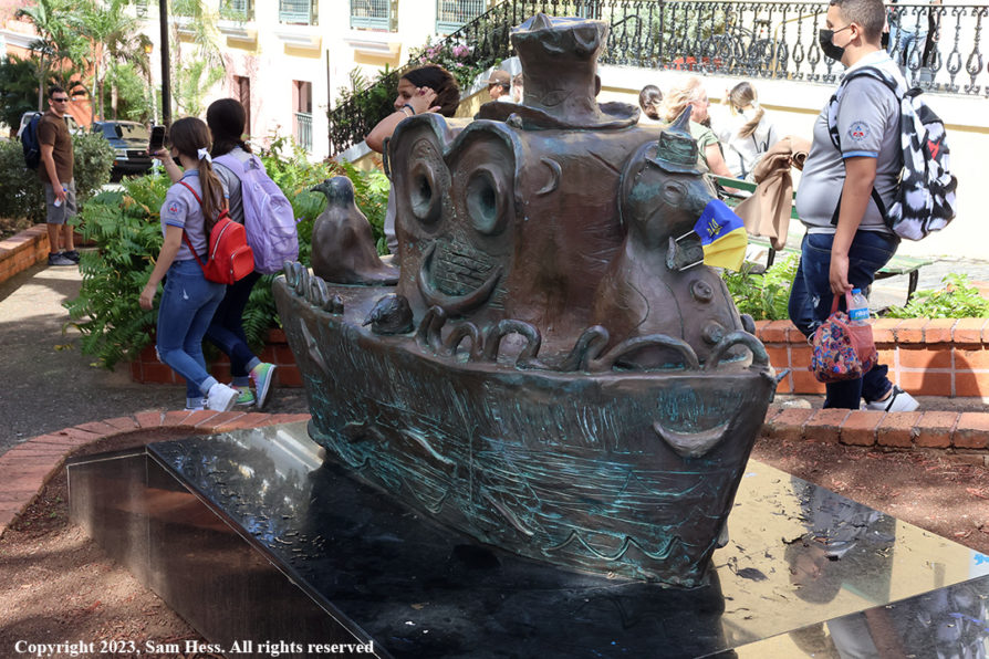
After breakfast, Susie and I decided to walk through Old San Juan to El Morro. According to Google Maps it was a thirty-minute walk. That didn’t take into account the streets that were closed to traffic due to construction and security considerations. As we walked, Susie spotted a shop selling locally made crafts. They had beautiful locally handmade magnets. She also saw an art piece that was produced by a local artist. I knew that it would be hanging in our house the minute she started talking to the salesman. It will be framed in the shop and sent to us… easier than carrying it. After completing the transaction, we walked a little bit further before heading back to the ship for lunch.
Our departure from San Juan was earlier that our other departures because of the distance to tomorrow’s destination, Puerto Plata, Dominican Republic. While Susie and our friends were sitting around the pool deck, I went to the top deck to get some pictures of Old San Juan and its fortifications.
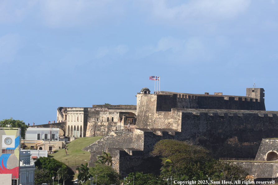
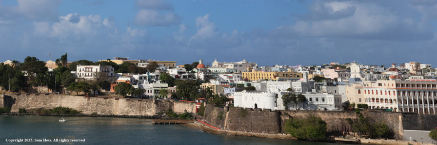
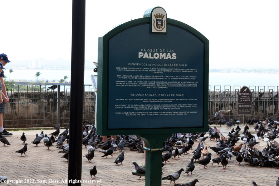
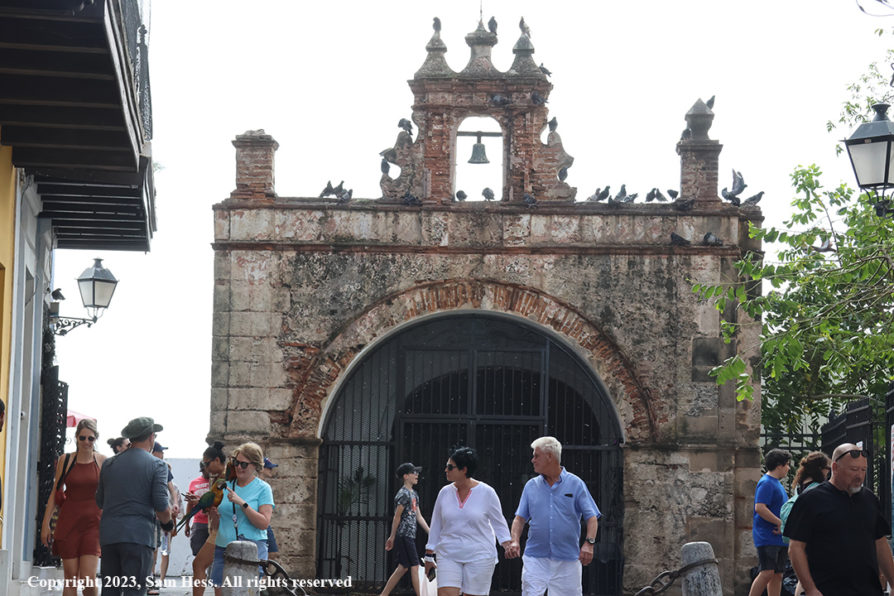
Old San Juan Street Scenes
February 18, 2023 – Puerto Plata, Dominican Republic
We were up early this morning for breakfast. Our departure time for the excursion was 9am. After breakfast, we were in our cabin when the captain made the announcement that we will not be docking in Puerto Plata and will continue on to Miami. Strong winds are forecast for Puerto Plata for the scheduled time of departure. Because the channel in the port is very narrow there are maximum wind limits for entering or leaving the port. The forecast winds are above those limits.
Bottom line… two days at sea with an on-time arrival in Miami. In order to avoid some of the morning rush hour, we asked for the last departure from the Riviera at 8:45am. We got our luggage and loaded the car fairly quickly and headed home.