We left home for Tampa International Airport at 9am on Thursday, November 9th. After 28 hours and three flights, we arrived in Cape Town, South Africa. The easiest part was the drive to Tampa and the flight to Atlanta. The fight to Johannesburg, SA was delayed by an hour because of a variety of issues. That flight, of 15 hours, is one of the longest non-stop flights in the world. The delay reduced our time for the flight to Cape Town to less than an hour. When we checked in for the flights, we were told that luggage was going to be transferred through to Cape Town. And then the fun began…
In Johannesburg, we were told that we had to go through immigration and customs. That would have made us arrive at the gate as the boarding procedure for our Cape Town flight was closing. While I was waiting for our luggage, Susie was talking to a pair of women who were at the luggage carousel with wheelchairs and arranged for them to take us through to immigration. Once through immigration, we found another two women with wheelchairs to take us to the gate. Neither one of us could walk fast enough to make the journey from the baggage claim area to the gate. The gate agent notified the gate personnel that we were coming but could not guarantee that our luggage would make it. In Cape Town we approached the baggage carousel with minimum expectations that our bags were going be arriving… they were among the first to arrive. We were supposed to be met by a driver to take us to the Southern Sun-The Cullinan Hotel. He was late in arriving, but called Susie to let her know that he was coming. Exhausted from the travel, we only took a few things out of our luggage and went to sleep.
Today, Saturday November 11, is going to be quiet. We got up later than usual and had our breakfast. While the room was being cleaned, we walked around the area of the hotel a bit and headed back to the room. Not planning to do anything other than recuperate from our flight.
The tour officially starts in Cape Town. Rather than give you a lot of additional text, I took the detailed itinerary provided Globus and inserted an edited version of it below.
Our primary reason for us going to Africa was to attend the graduation of Joel Kiuntei Sakimpa, the young man we met on our 2019 trip to Kenya and Tanzania. We sponsored his education at the Kenya Wildlife Research and Training Institute and wanted to celebrate his successful completion of this phase of his education.
After the end of the Globus tour, we flew from Johannesburg to Nairobi, Kenya. Our flight was delayed by five hours, which put our arrival time around midnight. We had rented a car for our use in Kenya and were supposed to meet Tom, a representative of the rental agency. Tom waited out the five-hour delay at the airport. Due to the lateness of our arrival, we decided that he would drive us to the Radisson Blu Hotel, Upper Hill, and we would take care of the paperwork in the morning. The drive from the airport to the hotel convinced us that we would be better off having a driver and asked Tom if he would do that. It was a great decision that made us more comfortable and gained us a good friend. His driving duties would begin when we drive to Naivasha (70 miles to the north). While in Nairobi we had a day-long tour of Nairobi which took us to an elephant orphanage, a Giraffe sanctuary and a craft village. We also decided on one more game drive in Nairobi National Park.
After four days in Nairobi, it was time to head to Naivasha for Joel’s graduation. Tom picked us at mid-morning for the two-hour drive to the Lake Naivasha Resort Hotel. He picked us up the next morning and we drove to the Kenya Wildlife Research and Training Institute. Joel’s family and several other members of their village hired a large van to attend festivities.
Village members drove to Naivasha to attend the graduation. We greeted them before the Ceremony.Joel’s Mother is between Susie and me. Our Driver, Tom is on the left.
Villagers sitting in the shade after the graduation
After the graduation
The following morning Tom picked up Joel and then came to the hotel to get us for the seven-hour ride to Amboseli National Park and his village. We stayed at the same Amboseli Serena Safari Lodge that we stayed at five years earlier. The next day Joel met us at the lodge and guided us to this village where a whole day celebration took place. On our final day in Kenya, Joel came to the lodge and traveled with us to the Nairobi airport. He had to go back to the school in Naivasha to return his Cap and Gown. Tom, our wonderful driver, stayed with us until it was time for us to go through security. Our flight to Paris was delayed but we had no problem with the connection to the Atlanta flight and from there to Tampa.
Baboon Eating FigsBaboon on Ilala Lodge Walkway in Victoria Falls
The walkway at the Ilala Lodge is the way we had to get to our room from the main building. The area below the is open to the wildlife. This baboon made the leap from the railing to a nearby tree right after I took this picture. The picture was taken with my iPhone. Birds (Click on Captions for more Information)
Sheldrick Wildlife Trust LinkBull ElephantMother and few day old babyFew Day Old BabyElephant MatriarchElephant Mud BathElephant ThreateningMom and two generationsMom, how about some milk
The picture in the top, center, shows some of its battle scars. The picture on the lower right was taken by Susie using her iPhone. We were on the way back from Joel’s village and got very close to this hippo. One of the things that we were told by several guides was that you never want to be between a hippo and the water… we weren’t. Still, hippos move quickly and are not limited to the water.
Leopards are reclusive animals. In our first trip to Africa, I managed to get one picture. On this trip we spotted two leopards mating (top center). The first animal we photographed on the next day was the leopard moving through the tall grass (top left). Lion
Who has the right-of-way?
We got fairly close to the lions in these pictures. The picture in the second row, right, shows just how close we got.
Cape of Good HopeCape Town Area-View of False BayCape Town From Table MountainTable MountainAt the base of Table MountainCape Town – Victoria & Alfred WaterfrontBead Factory – NairobiOkavango Delta Cruising There are Crocodiles in this waterVictoria Falls Helicopter ViewVictoria Falls-Returning from Flight OverVictoria Falls-The Youngest CataractVictoria Falls PanoramaVictoria Falls-Bathing on the EdgeVictoria Falls-Preparing to Run the Rapids
Joel’s Graduation
Joel’s Village Joel, Susie and I were driven by Tom to the village for the festivities. I’m fairly certain that Joel had an idea what was to come… we didn’t. As we arrived at the village, we saw that most of the population was there to greet us and escort us through the village to the field where the festivities were held.
In the field, we could see what looked like several hundred people from the village and nearby Maasai villages were in attendance. The ceremony went on for hours with a break for lunch. We learned later that the ceremony was similar to a revival meeting. Three preachers led most of the activities and the songs, sung in Maa, were similar to gospel songs. It was the experience of a lifetime…
We left the village as the sun was beginning to set. Joel was not with us to guide us back to the Serena Safari Lodge. On the way to the village all the turns were left turns to get to the village. Joel told us to make right turns going home. We missed one of turns so I turned to Google Maps to guide us to our destination. Unfortunately, road problems are not shown on the map and we wound up at a washed out stream crossing. We turned back and, with the aid of Google, finally got back to the lodge in the dark.
None of these pictures were taken by me. Two young men relieved me of the camera at the beginning of the ceremony. Their rationale was that I was one of the guests of honor and therefore I should sit with the VIPs. I was little concerned about this, but I shouldn’t have been. They took several hundred pictures during the day long celebration. I selected a few of them to show here. (click on pictures to enlarge)
Villagers greeting us outside the villageEscorting Joel through the villageJoel carried tthrough the villageChildren watching the ceremonyPreacher blessing Joel, Susie and familyJoining in prayer One of many women’s groups singing Lunch Break for the men and Susie Women and children at lunchSusie addressing the villagersJoel Addressing us and translator for usReceiving gifts from the vallageVillage Chief addressing usl-r: Brother, Father, Joel, MotherSusie and Joel’s father, SakimpaJoel’s sisters
Videos (May take some time to load depending on network conditions)
Teen Girls Dancing
One of many women’s groups singing
Tom, Thank you for your friendship and great ride.
Susie has converted the GoFundMe page used to support Joel’s education to support the children of the village and their education. To learn more about the village and contribute, follow this link, https://gofund.me/6e10191a.
Click on areas not covered with text to enlarge pictures.
April 13th – Miami to London We left home for our 3 1/2-hour trip to Miami International Airport. This is not my favorite run because of the two-hour stretch of Alligator Alley (I-75) between Naples and Weston is boring… a straight line run where the scenery hardly changes. “The Alley” can lull a driver to sleep with serious consequences. After a couple of episodes of driving this stretch at night and almost going of the road, I won’t drive home if I have a flight arriving in Miami at night.
We arrived at the airport parking lot in the late morning. A shuttle took us to the terminal and we went through the international travel routine. Although we had assigned seats, we didn’t have boarding passes and I thought that would present a problem. All it took to check in were our passports. We had “Global Entry” access, so we went on the shorter line through security. It should have been easy, but it wasn’t. We both wound up going through secondary security procedures. We both were patted down and finally were able to go to our gate. The flight to London left on time.
April 14th – London We arrived in London this morning. Customs and Immigration process was relatively easy and now the wait for the luggage. Although we were in the Priority category, we still had to wait some time before our flight’s luggage arrived in the carousel. We were met by our drive for the roughly one-hour drive to the Savoy Hotel. Arriving early at the hotel, we could not check-in until mid-afternoon.
At the suggestion of the desk clerk, we headed for the guest only lounge and met Eileen and Frank, who we befriended on our ill-fated Danube River Cruise, and their friends, Marsha and Ed. Our room was finally ready, and we headed to the room to rest a bit before dinner. The tour officially starts tomorrow, so there were no scheduled events.
April 15th – London Like quite a few of our fellow travelers, we took advantage of Tauck’s “gift of time,” which granted us a free night at the Savoy Hotel. This morning we met Eileen and Frank for breakfast and then went to meet the Tauck tour staff and sign-in.
Susie and I decided to go for a walk around the area. We walked down the Strand to Trafalgar Square. When we got to the square, we saw a loud demonstration. I’m not sure what they were opposing, we think it relates to London’s Congestion Charge Zone fees. We followed Whitehall past the Palace of Westminster and crossed the Thames River on Lambeth Bridge. We followed Albert embankment Path to Westminster Bridge. On the embankment we saw The National Covid Memorial Wall and a great view of the Palace of Westminster. After crossing the Thames on the Westminster Bridge, we followed Horse Guards Road to the Mall and back to the Savoy.
Protestors in Trafalgar SquareLord Nelson Memorial-Trafalgar SquareWhitehallHorse GuardsWomen of World War IIOliver Cromwell MemorialParliament Clock Tower Big Ben is the name of the bell in the tower.Palace of WestminsterThe Burghers of Calais Auguste RodinThe National Covid MemorialThe London Eye
After our return from our walk, we connected with our friend Laura and Bob and attended a reception and dinner in the hotel.
April 16th – London Today we take our first organized tour, an orientation tour of city landmarks. Among the highlights of the tour was the British Museum and St. Paul’s Cathedral. Taking pictures from a moving bus is not one my favorite things, so I was happy that we took pictures during yesterday’s walk.
Most of our time was in the British Museum. Still, considering the size of the Museum and the various collections, there is no way of doing justice to this great museum in the time allotted. Among the museum’s better-known pieces are the Rosetta Stone and The Elgin Marbles.
At St. Paul’s Cathedral we had a chance to walk around the exterior of this historic building. Adjacent to St. Paul’s is Temple Bar, the ceremonial entrance to the “City,” which was relocated to this spot to allow the widening of the street which ran through it.
Assyrian Gate PostA section of Assyrian Wall Art Depicts The Emperor Hunting LionsDiscobolusThe Elgin Marbles Greece wants them repatriatedRosetta Stone Secure Behind Thick GlassA Copy of the Rosetta Stone Open to the public to touchSt. Paul’s front viewSt. Paul’s rear viewTemple Bar
Following the city tour, we returned to the hotel. In the evening, we had a private, after-hours visit to Winston Churchill’s World War II War Room. The command center is located under the streets of Westminster.
The Cabinet Room in the Churchill War Room
April 17th – Under the Channel to Paris Yesterday afternoon we packed our luggage and left them in our room for delivery, by truck, directly to the MS Sapphire in Paris.
We went to Paris by way of the “Chunnel,” the 31.5 mile railway tunnel under the English Channel, via the Eurostar high speed train. The trip took about 2-1/2 hours to cover the 212 miles. On arrival in Paris, we boarded busses to the ship.
This Evening we went to the Louvre Museum for a private after-hours tour. Our time was limited, but led by an excellent guide, we saw some of the best-known works in the Museum. The advantage of having a private tour when the museum was closed to the public was from the pictures… we didn’t have to fight a crowd to get in front of the artwork.
Diana of VersaillesLiberty Leading the People Eugene DelacroixMona Lisa Leonardo da Vinci Rebellious Slave by MichelangeloThe Coronation of Napoleon Jacques-Louis DavidVenus de MiloWinged Victory of Samothrace Also known as Nike of Samothrace
April 18th – Paris This morning we were driven through different parts of Paris. We were fortunate to get the same guide that led us at the Louvre last night. We drove past most of the best-known landmarks. As in London, I was not keen on taking pictures on the move. We will be back in Paris at the end of the cruise and will have a day to explore on our own.
At the morning briefing, an announcement was made that one of our fellow passengers had afternoon tickets to the Musee d’Orsay that they can’t use. Susie and Laura jumped at the opportunity and visited the museum to see its collection of Impressionist art. I stayed on the ship and did some reading.
Whisler’s Mother at the Musee d’Orsay Actual name: Arrangement in Gray and Black No. 1
Later this afternoon we had a chocolate tasting tasting and discussion presented by a Chocolatier who produces a line high quality chocolates. Since Susie is allergic to chocolate, I got a bonus package to taste.
April 19th – Paris – Chateau of Versailles This morning we had an option of a walking tour of Montmartre or Chateau de Versailles. We chose to visit the latter. The chateau is a magnificent palatial estate with a garden that is not to be missed. Unfortunately, we were early in the season and most of the gardens have not been planted yet. We saw the King Louis XVIII’s bedroom, Marie Antoinette’s bedroom, the Hall of Mirrors and several other rooms. Fifteen million people visit Versailles each year. It seems as though they were all here while we were there. Trying to take pictures in this environment was my least favorite part of the tour.
The ship sailed for tomorrow’s destination this afternoon. We sailed upriver for a bit to a wide area where it could turn around for the downriver destinations. The Seine has many low bridges in Paris. The cruise ships and barges running on the river, have wheelhouses that are lowered so they can get through. The ship’s helmsman sticks his head out of a hatch in the wheelhouse to see his way. We were on the upper deck and told to stay seated while we were moving under the bridges.
Entrance to the Chateau GroundsThe Chapel of VersaillesThe Hall of Mirrors Note the crowdLouis XIV-The Sun King As he imagined himselfThe Sun King’s CrestLouis XVI’s Bed Smaller then the Queen’sLouis XVIMarie Antoinette and Her ChildrenMarie Antoinette’s Bed Louis XVI spent some time hereMarie Antoinette’s Jewelry Box Garden Not Ready for PlantingGarden ViewGarden ViewGraffiti on the SeineOne of Many Low Bridges in ParisThe View at the Turnaround AreaThe First of Many Locks heading Downriver
April 20th– Auvers-sur-Oise This morning we rode from Conflans-Sainte-Honorine for a ride to Auvers-sur-Oise. Vincent Van Gogh spent his last days in this village. Van Gogh was prolific during his last days. The church, Town Hall, wheat field and tree roots, pictured below, were subjects of his paintings. Roots was his last painting before he commited suicide. He is buried in the cemetery on the hill above the town. His brother, Theo, is buried next to him.
Before leaving Aures-sur-Oise, we stopped at the Absinthe Museum. The owner is an expert and has written several books on the subject. She gave us a lecture, through an interpreter. After the lecture, we got a taste of absinthe… not something that I would drink again.
A Barge Converted to a Theater. Another nearby barge is a restaurantThe Town GateThe Village ChurchHotel de Ville-Town HallWheat Field The road passes the cemeteryRoots Van Gogh’s Last PaintingVincent and Theo Van Gogh GravesVincent Van Gogh Located in the villageAbsinthe Museum
April 21 – Giverny – Monet’s Home and Garden We were driven a relatively short distance from Vernon to Giverny to visit the home of Impressionist painter, Claude Monet. Giverny is a small town with limited access to large vehicles, like our bus. As result we walked to Monet’s home. The majority of the time here was spent in Monet’s Garden, which was full of spring flowers, dominated by a large variety of tulips. Monet’s pond has been the subject of several of his paintings. After our tour of the home and garden, we walked to the Museum of Impressionism.
Monet’s Water Liliesand Japanese BridgeMy Version of Monet’s Painting The lilies are just starting to bloomAnother View of the BridgeFritillaria imperialisOne of Several Tulip Beds These flowers will be removed and replaced by summer varietiesFancy Frills TulipA Variety of Tulip I could not find a name for itTree Forced Into a Candelabra shape
We returned to the ship for lunch, after which we had free time to walk around Vernon. As we were leaving, we saw a group of passengers, including our friends, Laura and Bob, getting ready for a bike trip. Most of our walk was limited to the area around Collégiale Notre-Dame.
Laura and Bob Heading OutCollégiale Notre-DameBuildings Near the Church Typical of the construction of the buildings in this area
April 22nd–Rouen We arrived in Rouen overnight. In the morning, we took a guided walking tour of the city area relatively close to the Seine. Our guide was certainly familiar with the history of the city. However, he seemed to be fixated on the subject of “poop” that covered these streets in medieval times. Rouen was seriously damaged by Allied bombing during the World War II invasion of Normandy. The tour made stops at some of the major sites of Rouen, including The Cathedral, and Gros Horlog. Our tour ended in the marketplace where Joan of Arc was burned at the stake. In the marketplace, a new modern church was built in honor of Saint Joan of Arc. I don’t think it fits with the medieval buildings of the area. Susie and I continued to walk around the town, eventually ending up at the riverfront and our ship.
One of the Main Streets This street ran perpendicular to the Seine and our dockRouen Street SceneRouen Street Scene It was big enough for a loaded wagon to navigate the side streetsRouen Street SceneThe Belfry of Gros HorlogeGros Horloge DetailBuildings on the Cathedral SquareCathédrale Notre-Dame de RouenOld MarketplaceSign Marks the Spot Where Joan of Arc Burned at the StakeSt. Joan of Arch Church Interior
This evening we were driven to the Chateau du Tillis for a fine dinner and music.
Susie and Sam at the Chateau This is as formal as I dressed on any “formal” occasion this trip.The Main CourseDessert for One I estimated it at nearly 1000 Calories
April 23 – Etretat and Honfleur Today we had a choice of touring Caen and Bayeux or Etretat and Honfleur. We decided to go to the latter.
Our first stop was to Etretat, which is located on the coast, north of Le Havre. The weather was cold with intermittent showers, not a beach day. Etretat’s economy is highly dependent on tourism. The beach is bounded by chalk cliffs rising about 300 feet. This is not a beach that is made up of sand, rather it has large pebbles. Above the beach, to the north, is the Chapelle Notre-Dame de la Garde. The chapel is reached from the town by 200 steps. Laura was the only one of us who took the challenge to walk up to the top. Near the Chapel is a memorial to L’Oiseau Blanc, the White Bird, which disappeared in an attempt to be the first to fly across the Atlantic non-stop. Two weeks it disappeared, Charles Lindbergh completed his Transatlantic flight.
Thatched Roof RestaurantAround the Town SquareAround the Town SquareOutdoor Dining… Not TodayLarge Pebbles BeachOnly 200 Steps to Go Chapelle Notre-Dame de la GardeWhite Bird Memorial
After a few hours in Etretat, we boarded the bus for Honfleur. The trip took us through Le Havre and across the bay on the Pont de Normandie, a beautiful, multi-tower cable stayed bridge. It is the last bridge on the Seine, before it flows into the ocean. Honfleur is a few miles beyond the bridge. The weather turned from intermittent showers to constant rain. Not a good a good day for sightseeing. Laura, Bob, Susie and I decided to go to lunch at a creperie that received good reviews. We spent some time there hoping the rain would let up. When we left the creperie, Laura and Bob opted to walk around the fishing port area while Susie and I headed back to the bus. We were thoroughly soaked.
Susie is Holding Me Back
April 24th – Normandy Beaches This day is one of the reasons that I wanted to take this river cruise. I am a history buff, particularly military history. The 1944 Normandy Invasion beaches and the Normandy American Cemetery and Memorial are places I have been wanting to visit.
The first stop on our tour was at Pointe du Hoc, a high cliff overlooking Omaha Beach. It is lined with bunkers that have a clear line of fire on Omaha and Utah beaches. Walking along the edges of the cliff and seeing the view from the bunkers, I was amazed that the US Army Rangers were able to climb up the cliffs and neutralizing this strong point. They did it at high cost in casualties.
Our next stop was at Omaha Beach at one of the breakout points going inland from the beach. There is a memorial on the beach. Our guides provided roses to place on the beach. Breaking out of the beachhead led to hedgerows enclosed fields that provided cover to the German military. Allied forces had to fight from one hedgerow to another.
Major German Bunker US Army Rangers Memorial is on top of itView from the Bunker at Left When daylight came on D-Day, the horizon was filled with invasion fleet shipsView into Bunker Entrance was on the land side and was protected by machine gun emplacementsMachine Gun EmplacementDestroyed Artillery BunkerAmerican Omaha Beach MemorialSusie Placing a White Rose at the Omaha Beach Memorial1st Infantry Memorial at Omaha Beach Reflecting Pool Near Entrance to the American Cemetery American Memorial at the CemeteryMemorial Close-upSymmetrical Rows of GravesClose-up of Jewish Grave MarkerNormandy Field Enclosed by Hedgerows
This afternoon we started back upriver to Paris.
April 25th – Les Andelys
This morning we stopped in Les Andelys, a town composed of two villages. It is located on one of the bends of the Seine River. From here we broke up into groups heading to three different places, each group on a different schedule.
Our first stop was to a local cider house, Le Ferme des Ruelles, to learn about the various Norman cider and calvados. The cider house owner gave us a lecture about the farm and his plan to take it completely “off the grid” with renewable resources available on the property. We also had an opportunity to sample some of the products made on the premises.
Our next stop was on a hill overlooking the impressive ruins of Chateau Gaillard. The Castle was constructed by Richard the Lionheart. Richard was King of England and Duke of Normandy. The tour bus took us up to a hill overlooking the castle. It also gave us a great view of the town of Les Andelys.
We then returned to the town and stopped at Collégiale Notre-Dame des Andelys, which was built between the 13th to 17th centuries. In the church there are two columns, one is topped by a lion’s head representing Richard the Lionheart, the other is a monkey’s head representing his brother, King John of England, who rebelled against Richard and took his crown.
We also viewed a statue commemorating native son, Jean-Pierre Blanchard, who with American, John Jeffries, made the first balloon crossing of the English Chanel.
We returned to the ship and set sail for Paris.
Le Ferme des RuellesMichel Galmel Explaining his plans for the farmTasting Various Ciders We tasted ciders containing up to 40% alcoholChateau GaillardIllustration of Chateau GaillardLes Andelys and Seine River Collégiale Notre-Dame des Andelys in the foregroundChateau Gaillard viewed from Les AndelysInterior of The ChurchLions Head ColumnJean-Pierre BlanchardCommemorative
April 26 – Paris This morning everyone had to depart the ship early so it could be prepared for the arrival of the next group of passengers this afternoon. The Tauck team coordinated the transportation of the departing passengers to the airport or other destination. We had booked an extra day in Paris and were driven to the historic Intercontinental Paris Le Grand Hotel. Check-in time is after 3pm, so we had some time to kill. We checked our bags and walked around the area, including the famous Galeries Lafayette department store. When we got finally got into our room, we were fortunate to have a good view of the Palais Garnier, the Paris Opera House.
A Partial View of the Gallerie Lafayette Dome Additional floors are above the base of the dome
April 27th – Paris Today was a day for walking. We started walking towards the Tuileries Gardens by way of The Place Vendome until we got to the Rue de Rivoli.
Susie suggested that we first go to Angelina Tea Room so that “I should taste their famous hot chocolate.” It is located across the street from the Tuileries Gardens, which was what I planned to be our target for the morning. The tea room is very popular and we expected to have long line before getting. As it turned out, the line was relatively short. Instead of the hot chocolate, I ordered a cappuccino and macaron. The macaron was not what I expected. It was several times bigger than any macaron I ever had before. As it turns out, that was my early lunch. Incidentally, there is an Angelina Tea Room in the Bryant Park area.
Having absorbed some extra calories, it was now time to take that walk in Paris. We crossed the Rue de Rivoli and into the Tuileries Gardens. We walked the gardens to its end at the Place de la Concorde, which is located between the Tuileries Gardens and the Champs Elysees. We spent some time looking around the Place de la Concorde, then walked on Rue Royale to the Boulevard de la Madeleine and arrived back in our hotel in mid-afternoon.
This evening we met up Eileen and Frank and Marsha and Ed. We walked, almost back to the Rue de Rivoli to a restaurant for dinner.
A lot of walking but a great finish to a very good trip.
Monument Commerating the Battle of Austerlitz Place Vendome Latin Inscription at the Base of the ColumnNapoleonIn Roman Toga at the top of the ColumnLa Comedie Tuileries GardenCold, Cloudy Day Doesn’t stop Parisians From Sitting around Fountain Tuileries GardenLa Louvre Viewed from Tuileries GardenBelle Costume Modern art in Tuileries GardenLuxor Obelisk Place de la ConcordeEiffel Tower Viewed from Place de la ConcordeView of Arc de Triumphe Viewed from Place de la ConcordePlace de la concordepanorama US Embassy is partially seen at leftPalais Garnier Under Renovation No Phantom in sitePalais Garnier Roof Detail Taken from our hotel fifth floor balcony
April 28th – Heading Home Susie and I agree that this trip was great. It prompted us to book another river cruise in the Spring of 2024. At this point we do not have any major trips planned… but you never know.
We were scheduled for a 1:30 pm check-in for boarding our cruise ship, Riviera.It is a roughly 3 ½ drive for us. We were accompanied by Warren and Luellen, our friends of 40 years. They had been our guests in Osprey for several days before our departure. We left around 7am so that we could meet my cousin, Don, for brunch on our way to the Miami Cruise Port. After a pleasant meal, we headed to the port, arriving well ahead of the scheduled check-in time. Our other friends from New York checked-in at the same time. After a few security checks and a long line, we were checked-in and boarded the Riviera.
Our rooms were not available until 3pm so we went up to the Terrace Café for buffet lunch. This my first test of my goal of not overeating on the cruise. I had a salad and a dessert and felt that I met my goal. The four couples making up our group were in adjacent cabins, so we all went to Deck 8 to await the arrival of our luggage and settle in.
The Riviera is a small cruise ship (785 ft in length) with a maximum capacity of 1250 passengers and a staff of 800. It departs from Terminal J, which is located among the container ship docks. The ship was oriented west, toward the land. At 6pm, the ship started its departure from Miami. Many of us were out on our balconies watching the ship back up on a narrow channel, with the assistance of a tug. When we reached a wider part of the channel, the ship, using its thrusters and the tug at the stern, made a 180 degree turn and headed east towards the Atlantic.
Small container ship, assisted by a tug making 180 degree turn. The much larger Riviera made the same, tug assisted, turn in order to get into the channel.
Miami, viewed from our Deck 8 Balcony
It was now 7pm, time for dinner and another test of my goal of not overeating. Our group sat at one of the two tables for eight in the main dining room. The menu came and my resolve failed me… I overate. Overeating, a glass of wine, and a long day got to me, and I decided to go to bed. Susie and the others went to the theater for a show.
February 11-12, 2023 – At Sea All I can think of is the lyrics from a song I heard a long time ago, “A sailor went to sea to see the world and what did he see, he saw the sea.” That pretty much represents these day. Our first stop is Basseterre, St. Kitts, over 1,000 miles from Miami. We dock there on February 13th.
I got up early and could barely see the coast of Cuba to the south of us. I decided that I would exercise by walking on the top deck. We had strong winds and the deck that I was planning to walk on was closed on both days. I wound up doing core strengthening exercise on the floor of our cabin.
One of the few times we saw other vessels while at sea
I woke up this morning to grey skies and a light mist which eventually turned to a period of rain. While I was eating breakfast, the captain announced that due to strong wind and currents, we would reach the pilot pick-up point at 11:30. Scheduled arrival time in St. Kitts was 11am. The ship was welcomed to the port by rain squalls, a normal part of the Caribbean experience.
Our shore excursion was a scenic train ride around the Island. We boarded a bus that took us to the train station, a 30-minute ride. The train ran on a narrow-gauge track built in the early 20th century to carry sugar to the port.
The sugar industry was ended in 2000 because it could not compete with other producing sources. As a result, tourism became the economic engine of St. Kitts. The train was turned into a tourist attraction. Passenger cars are double-deckers, with upper deck being open and the lower deck having windows and air conditioning. After riding for about 45 minutes on the upper deck, I got a little bored because the scenery didn’t change much and headed down to the enclosed portion of the car.
At the end of the train ride, we boarded the buses back to the ship. The busses dropped us off in an area filled with shops. Susie, as she does on most of our trips, went in search of a refrigerator door magnet. The ship departed St. Kitts at 6:30pm.
Approaching the Dock in BasseterreThe Heart of Basseterre
Narrow Guage Train
Rain Showers in the Hills We were lucky to miss them Mount LiamuigaOne of several sugar mill ruins seen from the trainTypical town passed by trainA lesson for the kids😁- Look both ways before crossingthe street
Masquerade Dancer traveled from car to car entertaining us to the drumming of another dancer
We arrived in Kingstown, the capital of St. Vincent and the Grenadines on time. The port area of Kingstown is, like other tourist destinations, filled with shops selling souvenirs and other items targeted to tourist trade.
Our excursion was “A Panoramic Tour of St. Vincent.” The tour started at 12:15pm and lasted about two hours. This island certainly provides panoramic views of houses clinging to the hills. Crops are growing on steep hillsides. We drove through several villages, some had mansions on the hills and private homes and apartment buildings in the lower portions. Halfway through the tour, we stopped on a lookout that had a grand view of the Mesopotamia Valley. It is thought to be the remains of an extinct volcano and is considered the heart of the agricultural business in St. Vincent.
Mesopotamia ValleyPanoramaCrops growing on steep hills This crop is in the center of the panorama, above.
Tourism is the main economic engine for the island. It followed the decline of the sugar and banana industry because of competition from Central America. St. Vincent has long produced a very strong rum which was based on the molasses derived from the sugar crop. Ironically, the molasses is now imported from elsewhere. A large black tank stands in the port area to remind locals of the past. That tank contains the imported molasses.
Molasses Tank Near the Inter-Island Ferry Terminal
The tour did not cover the northern part of the island which contains the La Soufriere volcano. The volcano erupted on April 9, 2021, sending a plume of ash six miles into the sky spreading all over the island and into neighboring islands. Because the volcano had shown increasing activity for several month, the government issued an evacuation order for the northern part of the St. Vincent. No one was hurt and property damages were limited. Some areas had several feet of ash on the ground. Clean-up was slowed by heavy tropical storms and rain events. Susie and I visited a waterfall and natural pool at the base of the volcano in 2003 while on a Windjammer cruise. I can’t imagine what that beautiful area looks like today.
The waterfall and pool at the base of La Soufriere volcano in 2003Kingstown Harbor Panorama
Mailbox on the dock in Kingstown with Queen Elizabeth II Marking… a reminder of British occupation
Rough surf on the Atlantic Side of St. VincentRiviera Docked in St. Vincent
We arrived in port of Roseau around 7am. Roseau is located on the leeward (Caribbean) side of the island and is Dominica’s capital and major urban center. Over the last 2,000 years, Dominica was populated by Amerindians from the northern coast of South America. The island was sighted by Columbus on a Sunday in 1493 and was named Dominica, the Italian word for Sunday. In the 17th century the French built a small settlement and named it Roseau.
Our tour was scheduled for a departure at 9:45. The normal leisurely breakfast was out of the question. The tour focused on the southwest coast of the island.
As soon as you walk out onto the dock, you get an initial feel of the ruggedness of the Island. Before could get to the “nature” part of the tour, we had to navigate the narrow streets of Roseau. After leaving Roseau, we drove through several contiguous villages before getting to a less populated environment.
The road did not get any wider as we left the Roseau area. It hugged the side of the mountains as it climbed up and ultimately to a coastal section of the road. Our first stop was a lookout that gave us a view of the southwestern tip of the island, the Soufriere Bay Marine Reserve and Scott’s Head. We stopped at the end of the road and walked out on the narrow neck leading to Scott’s Head. The neck separates the Atlantic Ocean (rough surf) from the Caribbean Sea (calm seas). Soufriere Bay is an active sunken caldera. Heading back north, we stopped at Bubble Beach. The water at edges of the beach is heated by the volcanic activity and gas bubbles can be seen.
We continued north back to Roseau and drove through the Botanical Gardens, eventually stopping at a lookout where we viewed the city below.
I would have to say that Dominica was our favorite island. The beauty of the island speaks for itself. Our guide was excellent and didn’t hesitate to discuss the political environment on the island.
This is the sight that greeted us on arrival in Roseau harborRoseau Panorama viewed for a lookout above the citySoufriere Bay Marine Reserve, viewed from the neck of land leading Scott’s HeadScott’s HeadThe neck of land leading to Scott’s Head with the rough Atlantic surf (left) and the calm CaribbeanChurch of St. Mark near Bubble BeachMural Inside St. Mark Church depicting the farming and fishing aspects of the DominicaThree teachers at Teachers’ Place
St. Barts is considered to be one of the most beautiful islands in the Caribbean. I could not give my opinion since we never left the ship.
Gustavia, the main town of this French Island and its major port. For a ship the size of the Riviera, there are no dock facilities and access to the shore is provided by tenders (the ship’s life boats). Looking around the harbor, I would have to say that, based on the number of large yachts anchored in harbor, it is a favorite of the very rich.
When we arrived in the harbor, the wind was blowing strongly, and high swells made the loading and unloading the tenders dangerous. The original schedule was to start tendering at 8am. Looking from our balcony I could see the difficulty the tenders were having approaching the ship to tie up at the boarding area. One tender made four approaches before successfully tying up to the ship. The captain announced that because of the rough seas and strong winds the tendering was postponed to 9am. As of last night, Susie and I were to go ashore, while our friends were going to stay on board. We didn’t have any excursions, so we also chose to stay on board. At 10am the captain allowed the tendering to proceed. The captain frequently repositioned the ship so that its bulk would provide some shelter for tendering operations.
Gustavia Harbor Panorama – Starboard side viewGustavia Harbor – Port Side ViewPassengers tender for trip to townThree masted Schooner
We arrived at the entrance to San Juan Harbor early in the morning. I was up hoping to get a good picture of El Morro Castle guarding the entrance to the harbor. By the time I got on the balcony, I missed the shot and had to wait until we were leaving the harbor. The lighting was better in the afternoon.
After breakfast, Susie and I decided to walk through Old San Juan to El Morro. According to Google Maps it was a thirty-minute walk. That didn’t take into account the streets that were closed to traffic due to construction and security considerations. As we walked, Susie spotted a shop selling locally made crafts. They had beautiful locally handmade magnets. She also saw an art piece that was produced by a local artist. I knew that it would be hanging in our house the minute she started talking to the salesman. It will be framed in the shop and sent to us… easier than carrying it. After completing the transaction, we walked a little bit further before heading back to the ship for lunch.
Our departure from San Juan was earlier that our other departures because of the distance to tomorrow’s destination, Puerto Plata, Dominican Republic. While Susie and our friends were sitting around the pool deck, I went to the top deck to get some pictures of Old San Juan and its fortifications.
We were up early this morning for breakfast. Our departure time for the excursion was 9am. After breakfast, we were in our cabin when the captain made the announcement that we will not be docking in Puerto Plata and will continue on to Miami. Strong winds are forecast for Puerto Plata for the scheduled time of departure. Because the channel in the port is very narrow there are maximum wind limits for entering or leaving the port. The forecast winds are above those limits.
“I saw the sea”
Bottom line… two days at sea with an on-time arrival in Miami. In order to avoid some of the morning rush hour, we asked for the last departure from the Riviera at 8:45am. We got our luggage and loaded the car fairly quickly and headed home.
The Atacama Desert has been on my bucket list for a long time. We have traveled to Chile numerous times and on my seventh trip finally made it. The following is a summary of our visit the desert and to the Bolivian saltpans.
November 30 to December 2, 2022 – Miami to Santiago Early this afternoon we left our home in Osprey and drove to Miami International Airport. It was an uneventful trip, except for the Motorcade of law enforcement vehicles (cars, trucks and motorcycles). I have seen motorcades before, but this one was the largest we have ever seen. We drove at least two miles until we got to the entry point of the motorcade… they were still coming onto northbound Interstate 75. We were lucky, as we were heading south.
We arrived at Miami International Airport several hours before flight time. Having experienced the crowds at this airport, we wanted to have a cushion of time. a couple waiting for their flight to Spain was sitting across the aisle from us. We wound up having a long chat with them. They were spending the winter an hour’s drive from us. We exchanged contact information and promised to get together at our home after we got back… We spent a nice evening with them after we got back,
Our flight was scheduled to depart at 9:15pm and was just a few minutes late. We arrived in Santiago on schedule and after going through immigration and agricultural checkpoints we were met by our driver for the ride to our hotel. We have been in Santiago several times, so we didn’t do the tourist stuff. We spent the next day and half with my cousins and their extended family.
December 1st-Dinner at Cousin Avi’s HomeDecember 2nd-Lunch with Cousins
December 3, 2022 – Santiago to Calama and San Pedro de Atacama, Chile An early morning. A driver was picking us up and take us to the airport for the two hour flight to Calama in northern Chile. In Calama, we were greeted by a driver who took us to the Altiplanico Atacama Hotel in San Pedro de Atacama, our base for the stay in the Atacama Desert. The trip from Calama to San Pedro de Atacama was sixty miles on a paved road, one of the few we would see during our days in Chile and Bolivia. The road gave us our first taste of the elevations we would encounter during our stay. Calama is located at 7,400 feet. The road climbed at a modest rate to a 11,400 foot pass, and then dropped to 8,000 feet at San Pedro. Arriving at the hotel we had some time to get settled before we were picked up for our first tour. The tour took us Laguna Cejar, Laguna Tebinquinche and Ojos del Salar (Eyes of the Saltpan).
Laguna Cejar is a lake that has a high level of salt which, like the Dead Sea in Israel, enables one to float effortlessly. It is the only one of the three bodies of water that is available for swimming. Unfortunately, we didn’t have our bathing suits with us and moved on to Laguna Tebinquinche, which was another salt lake that was home to Flamingos. We learned that there are three species of flamingos in the Atacama Desert, Bolivia and Peru. These are the Chilean, James and Andean Flamingos. The Microbes that live in the waters of Laguna Tebinquinche are similar to the original life forms that populated the Earth. There is a sign by the lake that calls the area El Origen (the origin).
Cejar Lagoon PanoramaAndean FlamingosLaguna TebinquinchOne of the eyes of Ojos del SalarSusie and Sam at Ojos del SalarFabiani Lizard (It posed for this shot)
December 4, 2022-Toconao, Salt Flats and Chaxa Lagoon A full day on the road (mostly unpaved). We were advised to wear layers because our trip will take to elevations in excess of 14,000 feet.
Our first stop was the oasis village of Toconao. The site of the village has been occupied for about 12,000 years. Since it was Sunday, the village was quiet, and we only saw a few people on the streets. The main attraction for us was the San Lucas Church (which was locked?) and its Bell tower, which dates back to 1744. The church itself was rebuilt in the late 1800s. The village is known for its woolen handicrafts… I guess they don’t work on Sunday.
Toconao’s San Luca ChurchThe Bell tower doorBell Tower
The four-foot-high Bell tower door is made from a local cactus that has a solid core. The only people to enter the tower are the nuns who serve the church.
Our next stop was the Salar de Atacama, the largest salt pan in Chile and the third largest in the world. Within the salt pan is Laguna Chaxa which is divided into several bodies of water and is home the three species of flamingos native to the Altiplano. We also traveled to see Laguna Miscanti and Laguna Miñiques located at 14,700 feet. There was a walking trail around the lagoons, but we only walked on a small section of the trails. It was here that we saw our first Vicuñas, one of the three camelid species native to this area. Vicuñas are wild animals while the Llamas and Alpacas are domesticated.
Susie at Salar Miscanti
Sam at Salar MiscantiFlamingos (Note mirror image)
Andean Avocet
On our way back to San Pedro, we drove through Toconao. This time there were plenty of people on the streets. A soccer game had just finished and it seemed as though all of them were in or on the way to the local restaurants. Our guide had planned to have lunch in one of the restaurants, but it was full. We wound up having a late lunch in San Pedro.
This was a long day and tomorrow we the pick up was scheduled between 4:30 and 5:00 am. We decided to skip dinner and sleep.
December 5, 2022 – El Tatio Geyser Field A pre-dawn pick up at the hotel for the hour and a half trip to the El Tatio Geyser Field. We were told that the best time to visit El Tatio was at sunrise because of the light shining through the steam presents the best view. Unfortunately, we were late in arriving and didn’t get any of pictures of that view.
The Geyser Field is located at an elevation of 14,000 feet. We were told to wear several layers when we going to this elevation… we were wearing three layers. It was quite cold and windy and I wished that I had taken a heavier mid-layer. The weather and the elevation combination took its toll on Susie and she went to the relative warmth of the tour van. I have to admit that I was tempted to join Susie.
When I think of geysers, the picture Old Faithful comes to mind. The geysers in El Tatio stay rise to about 30 inches. Old Faithful erupts to an average height of about 140 feet. Our guide stated that the atmospheric conditions can depress these geysers to even lower heights. The heat that powers the geysers and fumaroles comes from the magma pool below the surrounding volcanos.
The guide talked about the controversy surrounding the tapping into the area surrounding El Tatio and other geysers for geothermal energy uses. She was a strong opponent of this use, suggesting that it would have a detrimental effect on the geysers. Geothermal energy proponents discount this impact. In our travels in the Atacama Desert, we saw a number of geothermal energy plants.
Cone Geyser at the Beginning an Eruption Colors are from minerals and bacteria.Erupting GeyserFumaroleGeyser Pool Former Geyser Pool-Swimming not Recommended.View East From El Tatio Geyser Field Cerro El Volcan (18,240 feet) in background
On the way back to San Pedro we stopped at a couple of lagoons to view several bird species. The most plentiful were the flamingoes. The lagoons also had vicuña grazing around the shore.
The tour advertised that breakfast was included. It turned out to be a brunch. We stopped at the ruins of a sulfur mine whose floor provided a level place for the driver to cook scrambled eggs. The table had plates full of rolls, avocado, and various meats and cheeses. The walls of the ruins served as shelter from the strong winds. We returned to our hotel around 11:30 am.
Bolivia
Our trip map (photographed by Susie off the hood of our tour vehicle) Most of the trip involved the unpaved “roads” (yellow lines)
December 6, 2022 – Bolivia Day 1 The trip to Bolivia is scheduled for three days and two nights. As you can see from the map above, most of the trip is on desert tracks.
A local driver picked us up for the hour-long drive on a paved highway to the Hito Cajon border crossing between Chile and Bolivia (elevation 14,698ft). We had to go through the Chilean immigration post to exit Chile located in a modern structure that we drove into for processing about a mile from the border. After clearing Chilean Immigration our driver proceeded to actual border where he turned us over to the Bolivian guide and her driver. The Bolivian border post is a small building. There were some issues with Bolivian Immigration that were resolved by our guide.
After leaving the border we traveled on dirt roads and desert tracks. Our first two stops were Laguna Blanca (White Lake) and Laguna Verde (Green Lake).
Laguna Blanca PanoramaLaguna Verde Panorama with Lincancabur Volcano in the background
We continued our travels via desert tracks. There were a few more salars on our route. One of the spots we visited was Arbol de Piedra, a formation created by desert winds and airborne sand. There were other similar examples of the work of the combination of wind and sand erosion.
High desert and mountainsArbol de PiedraClose-up of erosion on a large Bolder Boulders ejected by volcanic explosions littered the desert floor
One of the few mammals we saw among the rocks in the desert was the Viscacha, a rodent that looks like a cross between a rabbit and a squirrel. The one pictured below seemed not to be to concerned with our presence. I got quite close to it get the picture below.
Southern Viscacha
Our final destination for the day was the Los Flamenecos Eco Hotel, located on the shore of the Laguna Hedionda. The hotel is remote and only powered by solar panels. Apparently the capacity is limited as power was only available from 6 to 10pm. There is no heat at night or hot water for the morning shower.
The saline lake had a large population of flamingos that I was going to photograph after we settled into our room. Our window overlooked the lake and unfortunately, that was the only view I was going to get. It started pouring soon after we got into the room and didn’t stop until the overnight hours. It was the rainy season, but the heavy rains usually come later in the season. I tried to get pictures prior to breakfast but couldn’t get out as the main entrance seemed to be locked. On the plus side, dinner and breakfast were very good.
December 7, 2022 – Day 2
Today we are going to traverse the Uyuni Salt Pan, the largest salt pan on earth. We woke up this morning to discover that our heavy overnight rain dropped a cover of snow on the mountains.
Snow Covered Volcano
We had a bit of a drive to get to the Uyuni Salt Pan from our overnight stop. The route we took over the desert held some spectacular views.
Eroded Lava Fields
We drove through several communities this morning. Enroute we could see fields planted with Quinoa. The fields have been recently planted and only tiny green leaves are showing. They will eventually reach 3 to 7 feet high.
Quinoa Field early in the growing season
After some travel we reached the salt pan. Once on the salt pan there are no tracks. How the driver and guide navigated to get to specific destination is amazing to me. When you get further on the pan all you can see is nothing but white salt and mountains (some of which are mirages floating in the air).
Uyuni Mirage
We stopped for lunch on the salt pan. As in the previous day, it was a white tablecloth banquet. Our guide, Aida, who is part Quecuha, entertained us with a traditional dance.
Lunch On the Salt Note the horizon shows nothing but salt… no land features.
Aida Dancing
There are several islands on the flat and we stopped at Incahuasi Island. The Island is the top of a volcano that existed millions of years ago below an inland sea. Coral fossils are readily found on the island. It is also covered by large cacti that we also noticed in the Atacama Desert.
Incahuasi PanoramaIncahuasi Fossil Corals
Our final stop for the day is the Hotel Tambo Coquesa Lodge. The property contains a main lodge and some cabins. Our cabins is made out of blocks of salt. The exterior is covered on stucco to waterproof the salt walls. Even some of the furniture is made out of the same salt blocks. The plan for the evening was to watch the sunset out on the salt pan with Champaigne and snacks. As in the previous evening, it started to rain lightly. The clouds hid the sunset, but we had our drinks on the salt anyway.
Communidad de Coquesa at foot of Tunupa volcanoOur hotel living room
December 8, 2022 – Back to San Pedro de Atacama
Sunrise viewed from our Coquesa hotel
After breakfast we started our return to Chile. After roughly three hours of driving on the salt pan, we reached the city of Uyuni. We had snacks while our driver fueled up the car for the driver Hito Cajon border crossing.
On our way we passed a number of salt harvesting and processing locations on the pan. After leaving the Uyuni Salt flat we stopped in the silver mining town of San Cristobal. A mining company wanted to build an open pit mine but the town occupied the site. The company offered jobs to any person in the town, built new homes and relocated the church.
San Cristobal Church
We stopped for lunch at a hostel and watched Llamas and Alpacas grazing below. Alpacas are distinguished from Llamas by their smaller size and facial hair.
Llamas and Alpacas
On the way to the border crossing, we crossed a pass above 15,000 feet. The remnants of the snow were all around us.
The crossing from Bolivia to Chile was uneventful. We transferred from our Bolivian guide and driver to a Chilean driver who took us back to our hotel in San Pedro.
December 9, 2022 – San Pedro de Atacama – Valle de Luna This morning we began at a normal hour. We checked out of the hotel and were met by our guide for a tour of the Valle de Luna (Moon Valley). The valley gets its name because some of its terrain resembles the craters of the moon. The valley terrain was, and continues to be, shaped by the wind.
Our guide was a very knowledgeable and interesting person. He guides only periodically and lucky for us this was one those days. It was a pleasure to spend half a day with him.
Valle de Luna PanoramaSusie and Sam at Valle de LunaSusie and our GuideTres Marias (Three Marys) The wind keeps shaping this formation until it completely disappears.Susie learning about the crusty surface of the valley.Salty crust of the valley surfaceView from the “Amphitheater.”Another view from the Amphitheater
Our journey to the Atacama Desert and Bolivia is now over. Our guide was also our driver to Calama airport for the trip back to Santiago. Susie and our guide exchanged contact information. When we got off the plane in Miami on December 10th, Susie received a text advising us that the Lascar Volcano erupted ten hours after we left the Valle de Luna. The eruption had a plume that rose 3.1 miles high and spread volcanic ash all over the area we had just left.
And now on to our next adventure, a Caribbean cruise with our New York (some now living in Florida) traveling friends.
After three plus years of limited travel due to Covid-19, we are finally going to start traveling again and invite you along. The “Road” consists of the Danube, Main and Rhine Rivers and takes us from Budapest, Hungary to Amsterdam, Netherlands.
July 8, 2022 – Budapest
Our River Journey was planned last year, and we hoped that it wouldn’t suffer the fate of the other major trips we planned since Covid struck in 2019. It didn’t. However, things didn’t quite go as planned.
Our journey was to begin on July 7th with a flight from Miami to Frankfurt and on to Budapest, with our arrival on the afternoon of the 8th. We decided to go to Miami on the July 6th and stay at an airport near the hotel near the airport that had a “park-stay-fly” offer that involved a night before we fly and a night when we return and parking for the duration of or trip. Since we had not seen my cousin Liz and Don Hess in over three years, we stopped at their home for a visit before heading to the hotel.
With the large number of cancellations by airlines this year, I had a bad feeling about one of the two segments being cancelled. My feeling was reinforced by the experience on our first flight since May 2019. We flew to Washington for Susie’s American Library Association conference last week. On the return, we were booked on the only non-stop flight from DC to Sarasota. It was a fully loaded plane with a pilot and a missing first officer. After an hour of trying to find a replacement for the missing first officer, our flight was cancelled. While at my cousin’s home we got a call from our travel agent advising that both segments of this current itinerary were cancelled. She managed to get us booked on a flight to Budapest with stops in Washington and Munich. However, we were assigned seats that were not together. Fortunately, none of the segments were cancelled and we arrived in Budapest without any problems.
Tomorrow, we are on our own in Budapest. We board the riverboat on July 10th and have a tour of the city on the schedule. Friends and family members that have been here have offered some suggestions. We don’t want to visit places that are on Tauck’s tour. We have some homework to do…
I should have provided more information about Budapest in yesterday’s post. I was a bit tired and rushed through the post. Rule number 1- Don’t Try to write a Post (or anything important) after more than 24 hours of Travel with minimal sleep.
We were on our own today. The first thing I wanted do this morning was to take a picture of the view from our hotel window.
This the Royal Palace on the Buda side of the Danube and our hotel is almost directly on the opposite side the river. The Danube is flowing downstream from us and will eventually empty in the Black Sea.
After breakfast, we decided to walk along the left bank of the Danube. One of the sights we wanted to see the “Shoes on the Danube Bank.”
Close up of a pair of shoes with Memorial Candle left by a visitorCast Iron Sign. Two others are in Hebrew and Hungarian
Our next stop was the Parliament Building. It is a large building. Even with a wide angle lens, I had difficulty getting it a single shot. Thanks to Photoshop, I was able to stitch three pictures into the single picture, below.
The next stop in the morning walk was the Jewish Quarter. There were two buildings in particular that we wanted to see, The Rumbach Synagogue and the Dohany Street Synagogue. Both synagogues are no longer functioning as a houses of worship, but they were closed because it was the Sabbath. We have some free time tomorrow, prior to boarding the river boat, MV Esprit, so we will walk back to the area and see the interior of the synagogues.
A Memorial Tree of Life at the Dohany SynagogueMass Graves at the Dohany Synagogue
After lunch and giving our feet some relief from the morning walk, we headed to the Great Market Hall. By the time we walked there from the hotel, it was nearly closing time and some of the stalls were already shut down. We did a quick walk through the aisles of the first floor and headed back to the hotel, walking along the riverbank where many of the riverboats were tied up. We spotted the MS Esprit getting ready to receive us tomorrow afternoon. By the time we got back to the hotel, we had walked 6.8 miles.
Today we have a half day on our own before we board our ship for the beginning of the cruise. Yesterday we visited the Great Synagogue (also known as the Dohany Street Great Synagogue) from the outside because it was closed for the Sabbath. A guided tour is recommended so you could pick a time convenient time and avoid the lines. The synagogue tours are available in multiple languages. Our tour guide was knowledgeable and fluent in English.
Great Synagogue Viewed from Across the Street
Interior
Detail of the Bimah (a raised platform in a synagogue from which the Torah is read). The Torahs scrolls are kept in the Ark in front.
The Heroes Temple Dedicated to the Jewish Soldiers Who Served in the Hungarian Army During World War I
Heroes Temple Interior
Tree of Life
Memorial Leaves on the Tree of Life
Hundreds of Jews Were Massacred in the Synagogue in the Closing Days of World War II. These Mass Graves Contain the Remains of Hundreds of Victims, Many Unidentified.
This afternoon we were picked up at the hotel and transported to the MS Esprit. The afternoon was spent unpacking our bags. In the evening we attended a welcome reception and orientation, followed by dinner.
This morning we left the Esprit to tour Budapest. The tour focused primarily on the Buda side of the Danube. Buda is elevated above the Danube, while Pest is fairly level. Our first, essentially the only, stop was the Royal Palace, which, as you have seen in a previous post, dominates the hill on the right bank of the Danube. We didn’t go into the palace itself.
Medieval residential area adjacent to the Royal Palace. Historically, this area was reserved for the nobility.
Cathedral at the Royal Palace, Front view
Rear of the Cathedral viewed from the Overlook
Royal Crypt
Royalty on Horseback. The testicles on the horse are shiny. University students rub them for luck before exams.
After the tour we boarded the Esprit and started our voyage upriver. Enroute to Bratislava, the capital of Slovakia, we passed small towns and ruins of castles on hills. These scenes repeated themselves all along the journey.
Riverside town
Castle Ruins
This was a humorous scene. The child was enjoying running from the wake created by the Esprit. The sadder side of this picture is that under normal conditions, this “beach” is underwater. The water usually is up to the tree line.
This morning we had a walking tour of Bratislava. The tour focused on the Old Town, where most of the historic buildings are located.
Overlooking the Old Town is Bratislava CastleOld Town pedestrian areaFormer cardinal’s residence, now part of the three building City Hall
Original City Hall. The black spot to the left of the second story window is an embedded canon ball.
Opera House
Only remnant of the city wall
Holocaust Memorial on the site of the Old Synagogue. The Hebrew word is “Remember.”
St. George slaying the dragon
The steeple of St. Martin’s Church has a replica of the Hungarian royal crown. The Church served as the Hungarian coronation site for three centuries.
The sculpture portrays a sewer worker taking a break. Some say that he is smiling because he is looking up the dresses of passing women.
Susie and King Piggy
We arrived in Vienna this afternoon. This evening’s events involved a private dinner in the Palais Pallavicini. It was a multi-course dinner with music and dance entertainment between courses.
This morning we toured Schönbrunn Palace. This palace is considered a museum and no photography was allowed within the walls. The Palace contains over 1,400 rooms and only a few are open to the public. We didn’t have enough time to walk around the gardens before returning to the ship.
Schönbrunn Palace
After being dropped off at ship’s dock, we decided to walk into town on our own.
This morning’s stop was at Durnstein, a historic village sitting below the ruins of Durnstein castle. The castle history includes the imprisonment of King Richard the Lionheart of England during the Third Crusade. Susie was not feeling well this morning, so I walked up the hill into the town. The narrow streets contain the usual shops selling souvenirs and local products, wine being one of them. Tourists walking on these streets have to be careful because there are no sidewalks, and you share the street with cars.
Durnstein Castle ruins seen from the river level
The entrance to Durnstein. The town is about 200 feet higher than this point.
The narrow streets of Durnstein
Tough Parking
Durnstein Abbey
We continued up the Danube along the Wachau Valley to Melk for a tour of the Melk Abbey. Lining the Danube in this stretch a number of interesting towns and many vineyards. We didn’t have any time to go the town of Melk. The main attraction is the Abbey. As in some of the other palaces and abbeys, the Melk Abbey is considered to be a museum and therefore does not allow photography. The link to the Abbey, above provides some pictures of the interior.
Spitz, in the Wachau Valley, is typical of many of the towns in this stretch of the DanubeWeissenkirchen (meaning White Church). Only a small part of the church is white. Melk Abbey, viewed from the Danube on our approach to the dockEntrance to Melk AbbeyMelk Abbey interior courtyard
Melk Abbey
After we left Melk, we were advised that the cruise was canceled because of low water in the next stretch of the Danube. The ship’s Captain had been monitoring the levels on a regular basis. The draught plaguing western and central Europe has caused the levels to drop quickly. The Esprit is a relatively small river cruise ship. We were not the only ones that have to cancel or modify their trip.
Today we docked in a small town down river from Passau, Germany, where we boarded a bus that took us on a whole day trip to Salzburg, Austria. Susie and I were in Salzburg in 1971 and didn’t expect many changes, although we did notice a McDonalds which definitely was not there on that visit. The first part of our visit involved a guided tour of the historic Old City. A lot of people relate the movie, “The Sound of Music,” to Salzburg. The tour guide made minimal references to the movie… the locals don’t want to be associated with it. After that tour, we were on our own and wandered around the town.
The Old City viewed from across the Salzach RiverMirabell GardensPegasus Sculpture in Mirabell GardensThe Hohensalzburg Fortress, as seen from Mirabell Gardens
A couple heading to the Registry for their wedding. Pictures are taken in the gardens afterward.
Mozart’s birthplace is on the fourth floor
These are bell pulls that ring a bell in the kitchens. You can see the wires in the picture, above.
One of several alleys containing shops
Yes… McDonald’s is here, but the golden arches are tiny and are in the wreath hanging on the sign. See closeup below
It is not hard to identify the product sold in this store.
Old Market Place Plaza
One of the historic buildings in the market plaza. Note the date of construction at the top.
The Salzburg CathedralThe Rezidence… The Bishop’s PalaceThe Fortress Dominates the Rezidence Plaza We didn’t have enough time to get up to the fortress before we had to be at the bus stopA sign in the Rezidence plaza commemorating a Nazi book burning The 1823 quote by Heinrich Heine loosely translated states, “This is only an appetizer When Man burns books In the end Man will also burn People.”
We boarded the bus for the trip to Passau and the official end of the cruise. All of us have to be to be off the ship by Monday, July 18th. Most of the crew will be unemployed and have to return to their homes.
Instead of writing a post about our “Misadventures,” I am posting a chain of texts between me and our children, Carrie and Rick. All times in Eastern Time… Add six hours for the time in Europe.
Wed, Jul 13, 1:51pm
We just got word that the cruise is cancelled due to low water in a stretch of the Danube. We are exploring alternatives.
Carrie: Oh geez
Wed, Jul 13, 3:31pm
Rick: Oh boy
We are trying to work out our options. Probably won’t know anything until tomorrow afternoon. Problems is that every ship going up and down the Danube has the same problem and are trying to get their passenger out.
Rick: Have you spoken to the travel agent?
Thu, Jul 14, 1:23am
We are working on it. The time difference doesn’t help. We are continuing the trip through Passau. They can’t go any further. We are hoping to get a flight out of Munich. Tauck will arrange transportation to Munich.
Sun, Jul 17, 2:47am
We are scheduled to leave the ship for Munich at 10:30 local time. We have a room booked at the Hilton near the airport. As of now we leave Munich on United flt 31 to Newark and then on United 1252 to Miami. If there are any changes, I will let you know.
Sun, Jul 17, 5:33am
We made it to Munich airport. Taking the subway to downtown Munich. Already checked in at the hotel and United Airlines.
Sun, Jul 17, 7:18am
Our misadventures continue… We are a few stops away from our destination in Munich and our train stops, first between stations, and then in a station. Unauthorized persons were on the tracks and someone must have been hit. We got out of the inbound train and are standing on the outbound station heading back to the airport. Been here an hour at this time and don’t know when the trains will start running.
We got the first train heading back to the airport. We had not planned to be in Munich, nothing lost except some time.
Sun, Jul 17, 9:38am
Rick: Oh Jesus. You guys should write a movie
Would it be a tragedy, comedy or horror?
We are back at hotel after a stop at a famous German restaurant, MickyD.
Rick:😂 It would be all 3
OK. You are the pro… you write it.
Rick: Deal
I would wait to write it until we are home in Osprey. The way things are going there may be more calamities. I HOPE NOT. If the plane taking us to EWR lands on time tomorrow morning (the same flight we had coming here), we should be OK. Then we only have to worry about EWR to MIA flight.
Mon, Jul 18, 4:13am
Incoming flight delayed in DC.
We are now on board. Scheduled departure is in 20 minutes. The Newark-Miami leg is delayed giving us about an hour to go through customs. We are told we will get on the flight.
Mon, Jul 18, 12:59pm
Just landed in Newark.
Rick:👍
Mon, Jul 18, 2:14pm
The comedy continues. It took longer than usual to get the luggage and go through immigration. We had to get through customs, which was nothing. Recheck the bags to Miami. We then had another security check that didn’t take long because of TSA precheck. We ran to the gate which was already starting to load passenger. Here is the kicker… the plane is delayed because the crew was diverted to Philadelphia and they won’t load the plane until they are here. Current estimate for departure is 4pm.
Rick: Oh boy. Glad you’re on the plane. Lmk when in fla
Mon, Jul 18, 5:19pm
We are still in Newark. We have a cabin crew and waiting for the pilots. They were making regular announcements. It has been silent for a while and the gate agents are not at the gate. A lot of flights have been canceled. It is hard to be optimistic right now.
We are finally on the plane. Expect to land after 9pm.
Rick: It’s an adventure Hopefully this flight takes off
From your mouth to God’s ear.
We have been in the plane for about an hour. Now we are in a Air Traffic Control hold because of severe weather in our flight path. We may here for another 30 minutes.
Rick: Oye You’ve pulled away from the gate?
We’re sitting on the taxiway with engine in low idle.
It’s all weather related. Can’t blame United completely. Part our delay was due to the need to get seats for two crew members coming off a flight. If they didn’t do that we might have been in the air.
I’m going to have to shut the phone down soon.
I will let you know when we get to the hotel. We will probably miss the last hotel shuttle. This is a long 24-hour day for us.
Carrie: You must be exhausted.
It’s almost 24 hours since we got up. Air Traffic Control just cleared us for takeoff.
Carrie: Oy!
Mon, Jul 18, 11:22pm
Thanks. It is 24 hours since we got up. Time to call it a day.😃
As Seen on the Road
We are always on the lookout for something unusual to place in our posts. We call those items, “As Seen on the Road.” This one is better titled, “As Seen on the Danube.”
Viking’s smallest river cruise ship heading downstream on the Danube. Low water doesn’t stop them. Going upstream may be a bigger problem.
We made this trip between May 9th and May 26th. Once again, circumstances conspired to make this post quite late.
Lior Standing before the Kotel (Western Wall) following his Bar Mitzvah
Lior, the youngest son of our Rego Park neighbors, Anat and Shimon, was going to celebrate his Bar Mitzvah at the Kotel in Jerusalem. We have known Lior since he was born and felt that we had to be there. So we scheduled a trip to Israel. Sounds simple… It wasn’t.
Susie decided that since we were heading to Israel, we should also visit her cousin Shelley in Aix-en-Provence. Shelley and her husband, Michael have repeatedly asked us to visit them and it was time that we do just that. That side trip was not as easy as I thought it would be. When I tried to book it myself, the trip was double th cost of a direct flight to Tel Aviv and back to New York. We turned to our travel agent in Sarasota for help in getting this trip done. Our travel agent found that it was not a simple thing because we wanted to fly on El Al, the Israeli airline.
To get to Aix-en-Provence, we left New York on Thursday afternoon and landed in Barcelona, Spain on Friday morning. In Barcelona, we took a high-speed train (the French TGV) to Aix, arriving there on Friday night. The trip involved 22 hours of travel during which we hardly slept. Shelley and Michael picked us up at the railroad station and took us to their home.
On Saturday morning, Michael drove us into the Aix. It was market day and there were several markets where vendors were selling fresh food, antiques and Flowers. The town was quite crowded. When we got to the main street in Aix, Cours Mirabeau, we learned of the other reason for the crowd… the next day was the running of a 70.3 Mile Ironman Race. Aix is a fascinating city and I wish we had the time to see more of it.
Susie and Shelley in front of the cathedral. I was surprised to see Alphorns playing until i remembered that the French Alps are visible north of the cityThe Flower market on the Place de l’Hotel de Ville (City Hall Square) Sand Sculpture on the Cours MirabeauThe Finish line for the IronMan race to be run the run on Sunday
On Sunday morning, Shelley, Michael, Susie and I headed to Marseille, about 45 minutes south of Aix. My description of Marseille is a port area surrounded by hills. We parked in the Old Port and spent the morning and a good part of the afternoon walking. The upper part of the city contains a lot of narrow streets and stairways by which the area is navigated. By mid afternoon, we were all worn out and headed back to Aix.
Michael, Susie and Shelley in the Old Port area. On the hill behind them is the basilica of Notre-Dame de la Garde.Marseille Harbor entrance. The smaller island on the left is the Château d’If, a prison used as the model in Dumas’ novel “The Count of Monte Cristo.”The Marseille CathedralStreet scene showing stairways and narrow streets on the hilly portion of Marseille.
La Vielle Charite.Susie walking on one of the narrow streets of Marseille.
Graffiti covered several of the walls on the streets we walked.
On Monday, May 13th, We headed back to Barcelona. As I said earlier, there was no other way for us to economically make the trip to Aix-en-Provence and then to Israel. The trip required two changes of trains. The first leg was on the high-speed train to Marseille, a trip that took about 11 minutes. We then took a regional train (slower than the TGV) to Montpellier where we changed to the high-speed train to Barcelona. Not only did we change trains, but we also had to change stations. This was accomplished by taking a free shuttle bus to a light rail station. The light rail dropped us off near the second station. We arrived in Barcelona in late afternoon and stayed overnight in an airport hotel. The next morning we took our flight to Israel arriving that afternoon, local time. We rented a car and headed to my cousins Noemi and Yair in Ramat HaSharon.
On Wednesday, May 15th, we headed into Yaffo, one of the oldest cities in the world. Yaffo is now part of the city of Tel Aviv-Yaffo. The visit to Yaffo with my cousins Noemi and Yair, is something we have done every time we came to Israel. We walked along the Tel Aviv Promenade where you can a good view of both the Yaffo and Tel Aviv waterfront.
One of the highlights of this visit was eating at an authentic Arab restaurant. A variety of appetizers absolutely filled the table, with just enough room for the plates. After filling up on the appetizers came the main course… we didn’t need a big dinner that night.
Tel Aviv, as seen from the northern part of Yaffo. When I left Israel, in 1952, the tallest building was about four floors high.Yaffo as seen from the Tel Aviv Promenade. The rocks on the left center are the location of the Greek Mythological tale of Andromeda.Yaffo Port Breakwater. Andromeda rocks are visible off the end of the breakwater.
Thursday, May 16th, was devoted to Lior’s Bar Mitzvah. We left Ramat Hasharon early in the morning and headed on our first of three trips to Jerusalem. Our destination was a parking lot adjacent to the Pais Arena, where we boarded a bus to the Dung Gate of the Old City. On the way, we stopped at the Jerusalem Windmill for breakfast. The lack of parking anywhere near the Dung Gate necessitated the use of the bus. The Dung Gate is located adjacent to three structures that are significant to two religions. The first and secondare Al Aqsa Mosque and the Dome of the Rock, holy to Islam. Both of these are located on Temple Mount. The third structure is the Western Wall, known as the Kotel to Jews.
The Montefiore Windmill in Jerusalem.Three generations of the Weitz Family at the Windmill. The old City wall is behind them.
The area in front of the Kotel is managed in accordance with Orthodox Jewish tradition, the men and women are in separate areas, separated by a fence (see picture below). The picture below was taken during our visit in 2014. It was taken on Wednesday when no Bar Mitzvahs are held at the Kotel because the Torah is normally read on Saturday, Monday, and Thursday.
The Kotel on a Wednesday
The crowd on Thursday is a lot larger with the men in the Bar Mitzvah party pushing closer to the wall. The women are trying to get closer to the fence so they can watch the proceedings over it. My pictures of Lior’s Bar Mitzvah were limited because the professional photographer was in the best position, as he should be, and blocked my shots.
Shimon Assisting Lior with the Tefillin (Phylacteries)Shimon blessing his sons, Lior and Ron, after the Torah reading.This picture is symbolic, to me at least, of Israel. An armed soldier praying at the Kotel. This picture also provides a view of all the prayer messages tucked into the wall.
After the Torah reading the group proceeded out of the Old City accompanied by musicians. We boarded the bus and headed to a restaurant for the reception. After the meal, we boarded the bus again and headed to the parking lot to retrieve our car for the trip back to Ramat Hasharon.
The next few days were spent with my cousins. The highlight was a dinner on Friday night with our five cousins and their significant others.
On Saturday, we drove through Jerusalem to the settlement of Kedar, to attend Lior’s Bar Mitzvah in the local synagogue. We had to Leave Ramat Hasharon early to make the 8am start time for the service. I left my camera at my cousins because photography was not permitted in the synagogue.
On Monday, May 20th, accompanied by Noemi and Yair, we headed to Haifa. A week before we left New York, Susie learned that she had a second cousin, on her paternal side of the family, who lived in Haifa. Up until this point she had very little knowledge about her grandmother’s family. It turned out that the newly found cousin’s grandmother was Susie’s grandmother’s sister. While still in New York, Susie contacted her cousin, Sharon and arranged a lunch meeting at a restaurant on Dado Beach near Haifa. Prior to meeting Sharon, we went to Mount Carmel, where we viewed the Bahai Shrine and gardens. Following the lunch, we headed to Caesarea, to visit her cousin, Anne.
Yair, Noemi, Susie on Mount Carmel
Bahai Shrine seen from above, Mount Carmel, Haifa
The Bahai shrine seen from the German Colony.
Susie on Dado Beach, HaifaSusie and newly found cousin, Sharon
On Tuesday, May 21st, cousin Gadi took us north to Galilee. We had been in the area on previous trips to Israel, but not to the places he took us. We visited Qiryat Shemona, Metula (northernmost city in Israel), Tel Hai, Tel Dan Nature Reserve, and places in the Golan Heights.
Alaska Inn hotel in Metula. Not something I expected to see in northern Israel.Lebanon, viewed from Metula. The road, at center, is in Lebanon. Snow-capped Mount Hermon is in the backgound. The israeli occupied part of the mountain contains the only ski area in the countryJoseph Trumpeldor Memorial in Tel Hai. Behind it lie the graves of the defenders of Tel Hai in 1920. Site of a major tank battle in Golan during the 1973 Yom Kippur War.Vineyard in the crater of the Avital Volcano, Golan HeightsNew Qunaitra, Syria viewed from the Golan Heights. The old city was almost totally destroyed during the 1973 war. Truce line is located just beyond the agricultural land in the foreground.
On May 22nd, we went back to Jerusalem. Susie wanted to revisit Yad Vashem, the Holocaust Museum. We had visited it previously in 2000. Photography was not permitted in the museum, so.. No Pictures.
Before we left New York, Susie learned that her friend and colleague, Barbara Stripling, was going to be in Jerusalem on this day. So, we decided to meet for a few hours. That turned into a minor comedy. Barbara told Susie the name of the hotel. Unknown to us, there were three hotels in Jerusalem with the same name. Of course, Susie and I went to the wrong one. A helpful front desk clerk helped us locate Barbara.
Barbara Stripling and Susie in Jerusalem
We had one last excursion on May 23rd. That was back to Caesarea. We had already visited Caesarea a few days earlier, but this time we just went to the beach north of the town. The beach sits alongside the ruins of a Roman aqueduct that I assume supplied ancient Caesarea. It appears that there is some stabilization work being performed on the aqueduct as well as some beach replenishment from the sand on the land side of the aqueduct.
Roman Aqueduct at Caesarea Beach. Sand has blown over the aqueduct and is being used for beach replenishment (center, right).Beach restoration and stabilization of Caesarea AqueductSusie under one of the aqueduct arches. We saw people using the arches as cooking shelters and a place to get out of the sun.
Friday, May 24th was spent relaxing and walking on the shopping streets of Ramat Hasharon. Saturday was a day of rest and an early night. On Sunday, we left Ramat Hasharon at 5 am for an 8 am flight to New York. The flight was long, eleven hours, but uneventful.
This was a great trip. We saw Lior at his Bar Mitzvah and we saw Susie’s and my relatives. We are already talking about another trip in two years, God willing.
I started writing this post three weeks after we returned to the United States from Tanzania and Kenya. I had originally planned to maintain the blog on a daily basis and soon gave that up because of the tour schedule and the volume of pictures we shot every day. This post will not be a description of our daily activities which were essentially the same… daily game drives originating from different locations. Instead, the post will focus on the pictures we took during those drives. Don’t worry, I won’t post the 3,000 plus pictures.
We left Sarasota on January 3rd and headed to Miami International Airport for the first leg of our trip to Tanzania, a 9-hour flight to Amsterdam. After a three-hour layover, we took off for Kilimanjaro Airport in Tanzania, a half hour ride from our first stop in Arusha. We met Eric, our Tour Director, and fellow travelers at the hotel and began our Tauck Tour. Rather than describe the tour, I suggest following this link for a description of the itinerary. Most of the roads we traveled on were bumpy dirt tracks. It also included four flights on small chartered aircraft. Two of the flights were on a Twin Otter, that was 45 years old… not an unusual feat for that plane.
Our journey back to Sarasota was, in a word, epic. We left the Maasai Mara Reserve for a one-hour flight to Nairobi at 8 am local time (eight-hour difference from Eastern Time). The flight landed in a small commercial airport south of the city. The original plan was to stay in a hotel in downtown Nairobi before heading to the International Airport. Due to the terrorist attack on the previous day, Tauck decided that we would not go downtown and placed us in a hotel at the International Airport. Our eight-hour flight to Paris left Nairobi around midnight. After a four hour layover, we took off for the ten-hour flight to Miami. Due to the Federal Government shutdown, the immigration and customs process took a lot longer than our previous experience at Miami International airport. After retrieving our car, we drove to Sarasota. Total time… nearly twenty-four hours.
Four days after we got back to Sarasota, we headed to Seattle for The American Library Association Winter Meeting. While Susie was in meetings, I stayed in the hotel and worked on selecting the pictures, a process that took longer than I anticipated. After returning from Seattle, we spent four days traveling in Florida, meeting family and friends.
The pictures that follow are sorted by category rather than following a time line.
ANIMALS
Ankole Longhorn Cattle.
This male baboon was virtually surrounded by people taking his picture. He kept giving us different poses.
Mother baboon and misbehaving baby
Baboons grooming
The two Jackals tried to get the kill, a young Thompson’s Gazelle, back from the baboon.
Baboon Mother and baby Running
king of the Hill. This may have been the dominant male of the baboon troop
Banded Mongoose
Black Backed Jackal
Bongo in Mount Kenya Animal Orphange. Picture by Susie
Male Cape Buffalos. These males Cape Buffalos are usually older bulls ousted from a herd
Lone Cape Buffalo
Cheetah. This was one of two cheetahs we saw laying in the high grass, probably mother and daughter
Cheetah Resting. It didn’t move as we got closer.
Colobus Monkeys on a roof outside our hotel window.
Crocodiles on the Mara River
Dik Dik, The smallest of the antelopes. Picture by Susie.
Male Eland, largest of the antelopes.
Elephant eating just off the track we were on.
Elephants Returning from a Water Hole. Taken from our hotel balcony.
Accompanied by two females, the baby elephant seemed to enjoy the mud bath.
One of many herds of elephants moving away from the water to their nighttime quarters
Elephant having a drink at a water hole. Picture by Susie
Elephant Spraying Mud on itself. Picture by Susie.
Elephant up close. Picture by Susie
Elephants by the hundred on the move in Amboseli National Park, Kenya. Picture by Susie.
A Gerenuk, one of the strangest looking antelopes we encountered.
Grant’s Gazelles in practice combat. When it comes to fighting for control of a harem, they are not as gentle.
Female and Male Grant’s Gazelle
Hartebeest
Hartebeest running with calf
You know you are near a hippo pool long before you see it. The smell is rather strong.
Two Hippos Fighting.
An Injured Hippo walking away from a hippo pool. It may have been injured in the fight I photographed earlier.
Hippo on the Mara River Beach.
A Lone Hippo Walking on the Maasai Mara. Photographed During Our Balloon Flight.
Impala Male
An Impala Bachelor Herd
Impala Male with Harem on alert
Leopard up a tree with its kill, an impala.
Leopard up an Acacia tree at the Mount Kenya Animal Orphanage. Picture by Susie.
Two Lions Resting on a Kopje in the Serengeti National Park. A Kopje is a rock formation created by volcanic activity.
Lioness Waiting in Ambush for the Zebras
The Lioness jumped out of her ambush location and gave chase to the zebras… they got away.
Lioness Still Hungry. Judging by the visible ribs, she has not eaten for a while. Picture by Susie.
Male lion guarding remains of breakfast
Lioness laying on the track about ten feet from our vehicle. She has a full stomach from her recent zebra breakfast.
Lioness getting ready from her post-breakfast nap
Lion with “toothpick,” possibly from the remains of a Gazelle.
Here’s looking at you
Part of a pride of lions lounging in the morning sun. Their stomachs look like they recently ate. Picture by Susie.
Reticulated Giraffe. The reticulated giraffe is smaller than the Maasai giraffe and has a less complicated skin pattern.
Maasai Giraffe feeding on an Acacia tree. Maasai giraffe is the largest giraffe subspecies. Picture by Susie.
Maasai Giraffe running
Maasai Giraffes Necking. Necking is the way males asserts their dominance. Picture by Susie.
These two females are the last living Northern White Rhinos. After them there will be no more… all because someone in China wanted their horns.
Northern White Rhino with Egret and Greater Blue Eared Starling. Picture by Susie
Red Headed Rock Agama
Rock Hyrax on the Rocks…where else? Picture by Susie
A Serval . We were told that it is unusual to spot these cats in daylight.
Spotted Hyenas Fighting over a kill, a baby Thompson’s Gazelle
Spotted Hyena Cooling off
A Female Thompson’s Gazelle with a single horn. I guess unicorns exist.
Female Thompson’s Gazelle
Topi Male
Topi Female with Calves. Picture by Susie.
A group of Topis
Topi and Thompson’s Gazelles Running. They were frightened by the noise made by our hot Air Balloon
Vervet Monkey with Baby
Warthog Kneeling to Feed on Short Grass.
Typical Warthog running posture… Tail High.
Warthog Family.
Male Wildebeest, also known as Gnus.
White Rhinos Resting
White Rhino
Grevy’s Zebras are larger than the Common Zebra. Unlike the Common Zebra, the stripes do not cover the stomach area.
Common Zebra Rolling in the Dust to Rid Itself of Insects
Small Group of Common Zebras
Common Zebra Female with Colt.
BIRDS
African Sacred Ibis
Blacksmith Lapwing
Black Winged Stilt
Cape Teals
Common Ostrich, Male (Left) and Female
Egyptian Geese
Great White Pelican
Grey Crowned Crane
Grey Headed Spurfowl with Wind Ruffled Feathers
Grey Heron
Goliath Heron
Ground Hornbill
Hammerkop
Hadeda Ibis
Helmeted Guineafowl
Kori Bustard
Marabou Stork
Red-Billed Teal
Ring Necked Dove
Saddle Billed Stork
Secretary Bird
Speke’s Weaver
Spoonbill
Spotted Redshank, I think… correction welcome ?
Superb Starling
White Necked Raven
White Storks
SCENES
Wildlife viewing rules-Number four is most important
Our Balloon Pilot and Passengers
Luellen, Warren, Susie and Sam
The Eye of the Balloon. Photo by Susie
Sunrise on the Mara
Balloon on early morning flight… it’s barely sunrise
Maasai Village on the Mara
Maasai Kraal from Balloon. Photo by Susie
Maasai Cattle, from Balloon. Photo by Susie
Future Nile Waters. This stream flows into the Mara River which flows into Lake Victoria which is one of the sources of the Nile.
Champagne Breakfast Awaits on the Mara
Sunset at Amboseli National Park
Toilet flushing Demonstration, North & South of the Equator
The Centerline of this Walkway is on the Equator
Mount Kenya at Sunrise
Our Fairmont Mara Safari Lodge Quarter’s exterior
Olduvai Gorge. Where the Oldest Homonid Was Found.
Ngorogoro Crater Panorama
Mt Kilimanjaro from Amboseli National Park. This is the best view we were able to get
Leopard Kill Remain of a Gazelle
Candellabra Tree
Acacia Tree with Weaverbird Nests
PEOPLE
Susie, Sam Luellen and Warren at the Serena Arusha Hotel
Lecture at the Olduvai Gorge Site Where the Oldest Hominid Was Discovered
Maasai Men Dancing and Jumping at Maasai Village welcome ceremony.
Maasai Women Watching Men Dance, Near Amboseli National Park. Photo by Susie
Susie and Sam with Joel. Susie is trying to raise funds for Joel’s college education.
Susie with Joel and a Friend
Maasai Village Chief (next to me), and our Host Daniel, next to Susie
Warren, Luellen, Susie and Sam at Kikuyu Welcome Ceremony, Fairmont Mount Kenya Safari Lodge
Sam Feeding Ostrich. Photo by Susie
Luellen and Tortoise at the Mount Kenya Animal Orphanage
Maasai Warriors Welcome Ceremony at the Fairmont Mara. Photo by Susie
Sam at Post Balloon Flight Champagne Breakfast. Photo by Susie
Susie and Sam with White Rhino… No Barrier Between Us
On our way to Florida for the winter, we stopped in Washington, DC for a long weekend, to attend the festivities surrounding the wedding of the son of one of my cousins. On Thursday, October 4th, our only evening without any scheduled activities, we took a night tour of Washington, DC. Over the course of 2 1/2 hours, we stopped at the Jefferson Memorial, Franklin Delano Roosevelt Memorial, Lincoln Memorial, Martin Luther King Memorial, Pentagon 9/11 Memorial, and Marine Corps Memorial. Susie and I highly recommend that anyone visiting Washington take a night tour.
I have not done much low light photography and this tour was quite a challenge for me. My camera does not have a flash… it would be useless for most of the pictures I took; I left my monopod and tripod in the car, which was in the hotel garage, so I had to take all the pictures free-hand. Fortunately, I took enough pictures changing camera settings until I got a usable shot. Below is a selection of what I felt were the best shots of the night.
Jefferson Memorial viewed from the edge of the Tidal Basin
Cousins at the Jefferson Memorial. From left to right, my Chilean cousins Polo, Patricia (aka Jenny) and Sam with Susie
FDR in a Wheelchair. The sculpture is based on a rare photograph of Roosevelt in a wheelchair.
This sculpture of a depression era breadline is based on a famous photograph
Martin Luther King Memorial
Lincoln Memorial Viewed from the edge of the Reflecting Pool. After walking about five miles this afternoon, I was in no mood to tackle the steps into the Memorial. That is why I stayed below to take this shot.
Washington Monument and Capitol viewed from the Lincoln Memorial
Pentagon 9/11 Monument. This monument consists of 184 benches, one for each victim. The benches have reflecting pools under them
Marine Corps Monument
Note: I didn’t realize that I the copyright date on the pictures was wrong. I thought I had updated it. All these pictures were taken on October 4, 2018, and the copyright is for that date.
As you know, I always tried to maintain a daily blog when we were on the road. I decided not to have a daily blog since most of the days will be spent on long drives from point A to B with little to talk about except for one day when we had some excitement. Complicating our ability to maintain a daily blog was the poor quality of Internet service in some of the hotels and the high cost of Internet service onboard the cruise ship.
Susie and I spent six weeks in Sarasota, ending on August 3rd when we started out to Seattle to meet our family. As you will see, we are not taking the easy or most direct route.
Why another cruise to Alaska?
We celebrated our 50th anniversary on April 28th and wanted to go on a trip with our children and grandchildren to commemorate the event. Ben, our oldest grandson, asked that we take a trip to Alaska, “because Grammy and Poppa always go there.” That request led to our booking a cruise to Alaska starting August 18th. When we were in Chile last November, we mentioned our plan to our cousins. Ilani (actually, Doctor Ilani), the daughter of one of my cousins, asked to come along and we said, “sure.” Before we knew it, Ilani’s parents, aunt and uncle decided to join us.
North to Alaska.
Our route took us from Sarasota to Daphne, AL, located on the eastern shore of Mobile Bay, on the first day. The next day, after a long drive, we stopped in Dallas to visit our friend Bobbie Athey. We had dinner with her before heading to the hotel for the night.
The third day was a long ride to Albuquerque, NM, where we had an exciting finish to the day. We were driving west on I-40, about four miles from our hotel when we saw what looked like a square metal tube on the road. Traffic conditions would not allow me to take evasive action and we hit the object. Fearing the worst, I immediately pulled over to the side of the highway to inspect the damage. The object hit the underside of the car just below the engine and ripped a protective shield that was now scrapping the ground. Not seeing any leaking fluid, we headed to the hotel for the night… nothing was going to get repaired on a Sunday.
The next morning, we took the car to a nearby Subaru dealer for repairs. Their inspection confirmed that the was no damage other than the shield. Unfortunately, the part had to be ordered so they cut off the hanging portion of the shield and we were ready to continue our trip. We will have the repairs made in New York. Leaving the dealership, we headed out to Monument Valley, UT. The route took us west on I-40 to Gallup, NM where picked up local roads through the Navajo Nation to our destination. As we got closer to Monument Valley, we could see and smell evidence of the many fires that are plaguing the western states.
Monument Valley
We had been to Monument Valley five years ago and took a self-guided tour. This tour is within the Monument Valley Tribal Park and is limited to a loop that took about three hours to complete. To see more of the valley, you must hire a Navajo guide. We wanted to see the backcountry, so we decided to stay at Goulding’s Lodge and take an eight-hour guided tour with one of their Navajo guides. As it turned out, we wound up on a private tour because we were the only people who signed up for that day’s tour.
Smoke from the many forest fires burning in the west this summer obscures the normally clear view of Monument Valley.
Leland, our guide, was great. He is an exercise physiologist and acts as a guide on a part-time basis. After a quick introduction, we were off to Mystery Valley, south of Monument Valley. As you turn off the highway, you see a sign warning that this is private property and not open to the public. Goulding’s Lodge must pay for every tour that goes outside of the tribal park. We spent about four hours in Mystery Valley exploring Ancestral Puebloan dwellings tucked under rock overheads and up in the cliffs. All around the backcountry, we could see petroglyphs that date back to the earlier inhabitants.
Inside this opening were remnants of a cliff dwelling. This is the only climb to a dwelling that I was able to visit. It was an “easy” climb according to Leland.
View from inside the cliff shown in the preceding picture.
One of many cliff dwellings we saw in Mystery Walley
This and most of the cliff dwellings are difficult to reach.
There are also a lot of interesting rock formations and arches. Leland guided me up two of these formations showing me step by step where to place my feet. The trip down retraced the path up, except that I did a little sliding down on my backside. One of these climbs brought us up to the top of an arch which I estimate to be 70 to 100 feet above the ground below. Looking down I could see Susie who looked very small. After climbing the arch, Leland brought us into a cool (a relative term considering the temperature was above 100˚F) grove of trees that contained a grill and picnic table where he made hamburgers for the three of us. After lunch, Leland drove us into the Navajo Tribal Park section of Monument Valley. We stayed on the route that is used by visitors who are not traveling with a Navajo guide for a short distance and entered an area requiring escorts. Here we encountered more rock formations, dwellings, and petroglyphs.
Leland and I Climbed up to the top of this arch
This picture depicts exactly what my eye saw. Susie appeared to be a couple of inches tall.
Susie’s zoomed in view of me on top of the arch.
Standing at the top of the arch we got a good view of the surrounding area
The Eye in the Sky is an almost perfect circle. The cave shape makes it a perfect acoustical chamber. Set up seating and you have an amphitheater.
John Ford directed many western movies in Monument Valley and made the valley a popular attraction that brought revenue into the Navajo Nation.
Kokopelli is sometimes described as a clown, a fertility god and a mischief maker. Leland didn’t know why he was sideways.
Antelopes are one of the most common petroglyphs we saw in Mystery Valley.
It was a long hot day, but we enjoyed every minute of it. The only down part of the whole trip was the smoke from forest fires that covered the valley and obscured some of the most spectacular scenery in the United States. If you are planning a trip to this area, I recommend using a Navajo guide rather than a self-guided trip.
On to Olympic National Park
The next few days were spent driving to Washington’s Olympic National Park. The first day out of Monument Valley was a short run to Green River, UT. On the way to Green River, we stopped in Dead Horse Point State Park. Dead horse Point overlooks the Colorado River and Shafer Canyon, a portion of Canyonlands National Park. In 2006 we traveled through the Southwestern United States. One of the stops was in Moab, UT, from which we explored Canyonlands and Arches National Park. On exiting Canyonlands, I asked a park ranger if there was a four-wheel drive road/trail that would take us back to Moab. The ranger recommended using the Shafer Canyon Trail (check out the YouTube Video on this website). This trail had a lot of switchbacks and some significant drops that would have totally ruined our day. We made it, but Susie warned me not to think about doing another trail like this one. Now I wanted to see Shafer Canyon from a different perspective, thus our side trip to Dead Horse Point.
Gooseneck Point is one of the most prominent features visible from Dead Horse Point.
This view of Shafer Canyon shows the road we traveled. At the top center of the picture, you can see the plateau from which the road descends, but not the hairpin turns that mark the first, most difficult, section.
The salt evaporation pans are at the end of the trail. Beyond the pans is a road that parallels the Colorado River and takes you to Moab.
Our next stop was Boise, ID. To get there we traveled off the Interstate System from Green River to Provo. On this route, we saw at least one active fire being worked in extremely steep terrain. The firefighters working in the Western United States are doing a difficult job in extreme circumstances with minimal rest. Once on the Interstate Highway system travel was a little better but the smoke conditions and reduced visibility continued. We stopped in Boise for two nights because we wanted to visit with one of Susie’s colleagues who moved to Boise after retiring. We also wanted to spend some time with one of Susie’s cousins who is working on her master’s degree at Boise State.
Susie and Charlie in Boise
Susie and Katherine in Charlie’s home
From Boise, we headed to Port Angeles, WA, and the Olympic National Park. It was scheduled to be one of the longest drives we had on this trip. The closing of the Northbound section of I-5 in Seattle caused a traffic nightmare that resulted in our spending an additional hour and a half on the road.
Olympic National Park
Olympic National Park was one of the places on my “bucket list.” Twice before we had plans to visit Washington’s Olympic Peninsula and had to change our plans because of serious issues encountered with our trailer. When we hit the pipe on the Interstate in Albuquerque, I thought that the “Olympic Curse” hit us again… it didn’t!
The Olympic Peninsula is in the southern part of a temperate rainforest that reaches through British Columbia to Southeastern Alaska. We spent three days visiting different parts of the Olympic National Park. On our first day, we visited Hurricane Ridge, which rises to over 5,200 feet in elevation. When we woke up that morning, we saw fog in addition to the persistent smoke and thought that we were not able to see anything from the ridge. The road from the Hurricane Ridge Visitors Center is 17 miles long with many curves. At times, as we had to slow down to a crawl because visibility was extremely limited. Shortly before we reached the top of the road, the fog cleared up and we found ourselves with a view of the Olympic Mountains above the clouds. The clouds limited our view of the terrain below. Port Angeles and the surrounding area would be visible on a clear day and so would Victoria, British Columbia, across the Strait of Juan de Fuca. On the way down off the ridge, we again encountered some more thick fog. At least we got a good view of the mountain tops.
A panoramic view from Hurricane Ridge. You can see the fog hanging in the valleys below which made driving up and down an “interesting” experience.
This is the view we could have seen if there was no fog. Look beyond the sign and see nothing like it.
On our second day, we drove to Cape Flattery, the northwesternmost point in the contiguous United States. It was a long ride that basically followed the northern coast of the Olympic Peninsula. The smoky haze that we have lived with since New Mexico now obscured the southern coast of Vancouver Island. Once we arrived at the parking area we had to walk about half a mile to the tip of Cape Flattery. The trail is moderately steep at first with “stairs” built in (I found it easier at times to walk off the stairs… less impact on my knees). It then flattens out somewhat on boardwalks and stairs on soggy ground. The last part of the trail is a combination of boardwalks and steps leading to several different lookouts. Susie opted not to go all the way to the tip of the cape and stopped at the first lookout which offered a good view of the action of the waves on the land. I continued to the end of the trail where I stood and had a good view of several “holes in the wall” and one arch. From the last lookout, I could see the Cape Flattery lighthouse which is located on a small rocky island. The walk back was partially uphill, and we were both happy to see the car at the head of the trail.
The Strait of Juan de Fuca. This is a busy body of water which services two major ports, Seattle and Vancouver, BC
a view from a viewpoint southeast of the tip of Cape Flattery.
Sea caves on the northern coast of Cape Flattery
Cape Flattery Light on Tatoosh Island as viewed from Cape Flattery.
I didn’t bring my big zoom lens so I had to use my normal lens zoomed out to its maximum 105mm. Another photography lesson learned? It’s not my first time
On the third day, we headed to the Hoh Rainforest, another trip down the winding US 101. There has been less than normal (whatever counts as normal these days) rainfall so the forest was not as wet as I expected. Nonetheless, it is a lush environment with moss-draped trees, clear spring-fed streams and silty glacial rivers running through it. There are several trails in the forest and, at the recommendation of a park ranger we chose a 0.8-mile loop that would give us a good view of the rainforest. There are a variety of trees in the forest ranging from huge Douglass Firs to Sitka Spruce and maples. The elevation changes on the trail were moderate. After leaving the rainforest, we headed for several beaches that line the western shore of the Olympic Peninsula. We visited two beaches, Rialto Beach and First Beach located on either side of the mouth of the Quileute River near the Quileute Indian Reservation and the town of La Push. The beaches are not very wide and don’t go far above the high tide mark. Above the beaches piles of driftwood ranging from large sections of trees complete with roots to smaller pieces with very interesting shapes. Offshore are sea stacks, rocky outcroppings of various sizes. We have seen these sea stacks along the Pacific coast from Northern California to Washington.
Five foot Susie standing next to a 200 foot Douglas Fir. This tree is over 200 years old.
A close up of Susie at the base of the Douglas Fir. As big as the tree is its roots are very shallow because of the limited topsoil in the area. This makes it vulnerable to being felled by strong winds.
A fallen Douglas Fir becomes a “Nurse Log” providing a place for other trees to take root. It also provides nourishment as it decays.
This tree grew on a nurse log. When the nurse log completely deteriorates it leaves this hollow.
A stand of moss-draped Maples.
A clear running stream. Most of the vegetation is below the water. Photo by Susie.
As we were leaving the Hoh Rainforest, we spotted these Elk cows resting on the bank of the Hoh River
Hugh Trees Tossed above the High Water line. This demonstrates the power of the wind and waves.
An interesting piece of driftwood. It looks like it may be a tree that grew on a nurse log.
The driftwood logs serve as a place to sit and view the surf
Sea Stacks at Mouth of Quillayute River Viewed From Rialto Beach
Seattle
With the Olympic Peninsula now off our bucket list, we went to Seattle to meet our family in advance of our Alaska cruise. Because this is a relatively short trip, we left our Port Angeles lodgings later than normal for us. Rather than drive around Puget Sound, we headed for Bainbridge Island to get on the ferry to Seattle. While this doesn’t significantly affect travel time, it does save miles. We arrived at the terminal approximately two hours after we left Port Angeles and were on the line for the ferry with a half hour wait. The crossing is about half an hour and we were on the streets of Seattle within a few minutes of docking. The trip to the hotel should have taken 15 minutes but took more than 20… for some reason the car’s GPS did not have a lock on its location and led me astray. The same thing happened with Google Maps on the iPhone on the next day. Carrie, Josh and the grandkids arrived on Thursday and Rick arrived on Friday. Saturday afternoon, we were on the Ruby Princess ready for our Alaska cruise.
Cruising Alaska
This is our fifth time in these waters. Susie and I cruised to Alaska from Vancouver in 1999 and in 2001 (following a Hess family reunion). We also traveled on the Alaska Ferry System in 2015 from Bellingham, WA and 2016 from Prince Rupert, BC. That trip took us some places that the big cruise ships cannot enter. Click for the route map.
Day 1 and 2 – At Sea
The Ruby Princess pulled out of Elliott Bay and turned North on Puget Sound. It then to the Strait of Juan de Fuca west before turning north along the west coast of Vancouver Island. The ship continued on the open sea west of Haida Gwaii (formerly known as the Queen Charlotte Islands) before entering the Inside Passage. This was new to us since our previous cruises from Vancouver followed the channel between Vancouver Island and the British Columbia mainland and up the inside passage.
Day 3 – Juneau, AK
We arrived in Juneau around 11:00 am. My Chilean cousins, Susie and I had not paid for any shore excursions, so we were freewheeling it. Josh, Ben, Henry and cousin Ilani took an excursion to a dog sledding demonstration. The rest of us had lunch and then decided to go on the Mount Roberts Tramway to get a view of Juneau from above. While on one of the trails on the mountain we encountered Josh and company who had decided to go on the tram after their excursion.
Downtown Juneau and Douglas Viewed From Mount Roberts
Ruby Princess Viewed From Mount Roberts
Pilar, Susie, Patricia (Jenny) and Ilani on Mount Roberts
After we came down from Mount Roberts, the Chilean cousins, Susie and I took a shuttle (which also gave us a city tour) to the Mendenhall Glacier. Unfortunately, we didn’t have a lot of time at the glacier before we had to return to the ship. I suggested that they go to an observation area where they could get a good look at the glacier. If I had to do it all over again, I would have suggested doing the glacier trip first and then, if there was enough time, go on the tram. Alas, I can’t do it all over again.
Juneau Cruise Ship Dock viewed From Douglas Island
My Chilean Cousins on Douglas Island
Mendenhall Glacier viewed from the Visitors Center. Nugget Falls is partially seen on right (picture taken on 2016 trip). When we were here 20 years ago, the face of the glacier was near the falls. It is hard to judge how much more the glacier has receded in the past two years.
Mendenhall Glacier viewed from near Nugget Falls (2016)
Nugget Falls (2016)
Day 4 – Skagway, AK
The Ruby Princess docked in Skagway at 7:00 am. The Chilean cousins, Susie and I were scheduled on an eight-hour bus and rail system that left not long after we docked. Rick, Josh, Carrie, and the grandkids had an excursion that included gold panning and seeing sled dogs being trained followed by a bus ride to Fraser, BC and the train back down to Skagway.
The “adults” took a tour bus far north as Carcross, Yukon Territory on the South Klondike Highway. Skagway is one of two towns on the Inside passage that has a road that connects to the highway system and the outside world… Haines, a few miles South is the other. The bus stopped periodically so that we could stretch our legs and view the scenery. We spent a few hours in Caribou Crossings, an attraction that had a museum, barbecue (lunch included in the excursion), sled dogs, and, of course, a general store.
Lakes created by retreating glaciers dot the area off the South Klondike Highway. There ae no fish in these lakes as they are quite shallow and completely freeze in winter
Our cousins at the British Columbia – Yukon border
Carcross General Store in Caribou Crossings. Note what they sell and it is recommended by Tripadvisor.
Carcross Yukon Public LIbrary
A father and daughter moment in Carcross
Carcross Desert
Forest fires burning near the South Klondike Highway
After an hour in Caribou Crossings, we headed back south to Fraser, British Columbia, and White Pass and Yukon Railroad for the return to Skagway. We thought we were done with smoke from forest fires, but we were wrong. Between Fraser and Carcross we saw plumes of smoke from forest fires that were started the previous week by lightning strikes. I didn’t see any attempts to fight the fires. I understand that if the fire does not threaten population centers or infrastructure, they will let it burn out.
Susie and I took a similar version of today’s train trip in 1999 and it still amazes me that the track was completed in a short time considering the landscape to which it clings. Interestingly, the train is not just a tourist ride up a mountainside. It is also a flag stop railway. There are two flag stops on the journey where the train drops off or picks up hikers. Once back in Skagway, Susie and I headed back to the ship while our cousins walked around the town.
White Pass and Yukon Railroad (WPYR) along the route from Fraser to Skagway
River and Lakes Along White Pass Right-of-way
Gold Rush Era Northwest Mounted Police Post adjacent to tracks. Stampeders were required to stop and show that they had six months worth of resources before being allowed into Canada.
Border marker above the railroad right-of-way
White Pass RR clinging to the side of the mountain
White Pass Trail viewed from the train
Skagway River as viewed from the train
Day 5 – Glacier Bay, AK
This is a day at sea with and cruise in Glacier Bay (click link for the route). This is a first for Susie and me… the previous cruises in 1999 and 2001 did not go into the bay. The ship entered Glacier Bay and cruised up to the face of Margerie Glacier and the adjacent Grand Pacific Glacier at the head of the bay. Margerie Glacier is what most people a glacier to imagine and we spent most of the time viewing it. We saw and heard Margerie Glacier calve several times. None of the calving episodes were particularly spectacular. The Grand Pacific Glacier is covered with rocks and other debris ground from the surrounding mountains and is most definitely not white. After leaving the head of Glacier Bay, we traveled partially up Johns Hopkins Inlet before turning and passing Lamplugh Glacier. We passed several other glaciers on the route in and out of the bay, but these three glaciers were the highlight of the cruise. Click for a Glacier Bay fact sheet.
Ruby Princess approaching Margerie Glacier
Margerie Glacier flowing down the valley it created
The face of Margerie Glacier is one mile wide and about 200 feet above the water line. The portion below the water is probably another 100 feet.
The Aronsons at Margerie Glacier
Grand Pacific Glacier
Johns Hopkins Glacier
Lamplugh Glacier.
Hanging Glaciers above Glacier Bay. Two hundred years ago this part of the bay was under hundreds of feet of ice.
Day 6 – Ketchikan, AK
Leaving Glacier Bay, the ship returned to the Inside Passage for an overnight trip to Ketchikan, arriving at 7:00 am. We only had six hours in port which is enough time to spend a fortune in the many stores that are within a few blocks of the docks. I jokingly tell people that Ketchikan is the Tlingit word for shopping.
Susie and I had spent time in Ketchikan before so we (Susie) were not interested in the stores. While Carrie and Josh took the boys on a kayaking excursion, we took Eve to Totem Bight and a logger’s competition. Our Chilean cousins joined us on our excursion. We also took a walk on Creek Street, the old red-light district that has been converted to another shopping area.
Eve and Susie (aka Grammy) at Totem Bite State Historical Park
Creek Street
Dolly’s House (Green building in picture, above) was the most famous of the Creek Street brothels.
Seal Waiting for Salmon in the Creek
The Great Alaska Lumberjack Show
Day 7 – Victoria, BC
Leaving Ketchikan, the ship traveled between Haida Gwaii and the British Columbia mainland and out at sea to the west of Vancouver Island. While at sea, Carrie, Josh, the grandkids, Susie and I received an invitation from the Captain to a tour of the bridge. This was a surprise to us and was arranged by Josh’s sister’s brother in law. He also arranged a complimentary Anniversary Package that included a dinner at one of the ship’s specialty restaurant this evening. The ship arrived in Victoria at 7 pm and we only had five hours on shore. Our whole group took the excursion to Butchart Gardens. By the time we got to the park, daylight was fading. The gardens are illuminated with artificial lighting which makes for a beautiful view but not so beautiful photography. At midnight the ship departed Victoria and arrived in Seattle at 7 am.
East to New York
Since we were taking our own luggage, we were on the first group to depart the ship. We left the ship at 7:15 am and within 30 minutes we were in our car ready to head east. It was Saturday and we were through Seattle and on I-90 heading east in no time. Our first day’s destination was Missoula, MT and entailed crossing the Cascade Mountains again and entering the Rocky Mountains. It was a long trip on a day that started at 5 am Pacific time and ended around 5 pm Mountain time.
We left Missoula early in the morning heading for Glendive, MT, 8+ hours of driving. Once we got east of the Rockies we encountered strong wind and some rain, but they didn’t present any serious problems.
The next day took us across the flat prairie lands of North Dakota. The prairie wind was hitting us broadside which meant holding the steering wheel a little harder than usual. We crossed the Missouri River at Bismarck and the Red River which forms the border between North Dakota and Minnesota. East of the Red River the terrain becomes a little bit hillier and we encountered rain showers. As we arrived in St Cloud, the rain let up and I thought we were done with it. I parked the car under the portico of our hotel and went in to check in while Susie sat in the car. There were several guests ahead of me on line and when I went back to the car the rain had started again, driven horizontally by the strong winds. I got soaking wet unloading the car and had to change clothes. Complicating our situation was the fact that the automatic door stopped working and we had to force the door open. In the evening we met our friends, Joy and Doug, for dinner. They drove quite a distance from north of Minneapolis to meet us. Joy and Doug were our neighbors in an RV Park when our trailer broke down in 2010. We have since had them as guests in New York and met them for dinner in St Paul two years ago.
Our next stop was in Chicago. Getting to the suburbs was a good ride. Once inside the city, traffic nightmares cause me to want to bypass the city, but we kept on. To make our life more interesting we arrived at the Hyatt Regency Chicago to learn that they were overbooked and had no room for us. The hotel blamed Expedia for the problem, but I was not accepting that. I asked for a manager and she arranged for us to have complimentary rooms in another Hyatt property a few blocks away.
Susie had wanted us to stop in Chicago for a couple of nights for two reasons. First to visit her cousin, Sasha, whom we have not seen for some time, and her husband and two kids that we have never met. The second reason was to walk along the Chicago River and take a tour on the river, two things she was unable to do when we were here in 2017 because of her broken patella. Having only one full day to this, the weather stepped in and eliminated the tour option. Susie had also arranged a lunch with two of her friends from the American Library Association which occupied a couple of pleasant hours. In the evening we went to Sasha’s home and had a great visit and dinner with her family. Despite the morning rain, it was a great day in Chicago.
We left Chicago early so that we could avoid traffic, which, fortunately, is what happened. Our destination was Charm, OH, a regular stop for us when we are traveling through the area on I-90/I-80. We met our friends, Mary and Emanuel, for dinner on both nights we were there. We also got to meet the family of their son, Alan, who we got to know in Sarasota. Alan was working, and we were sorry we missed him.
Our only full day was busy. Spent the part of the morning with Rebecca, one of Susie’s graduate school students, who was visiting the area with her daughter. We acquainted them Keim Lumber, where we spent some money on exotic woods for future projects. Rebecca managed to buy a few small items for herself. After saying our farewells, we headed north of Charm to see Lehman’s Hardware in Kidron, OH. This is not an ordinary hardware store and sells hardware (including things you won’t find in the big box stores), non-electric appliances geared to the Amish community, toys and many other things (see link). We then went to visit our young Amish friend, Emma. We met Emma in Berlin, OH a few years ago and Susie has a continuous letter writing relationship with her since then. On arriving at Emma’s family farm, we were told that she had a job packing produce on a farm a few miles away. We spent some time with the family, Susie with the women and me with her father and two brothers and then headed out to find Emma. I don’t know how the GPS got us there… the roads kept getting narrower as we went along. The last one was clearly not designed for automobile traffic. We finally got to the farm and spent some time with Emma before heading back to Charm.
Our last obligatory stop was in Lancaster County, PA. We stop here to stock up on jams, jellies and other goodies at Kitchen Kettle Village in Intercourse, PA. It was a pleasant drive over lightly traveled highways… I guess that everyone was already at their Labor Day weekend destination.
Our final day was also the easiest one. We had breakfast at our hotel and headed out about 6:30 am on nearly empty roads. I expected to have a lot of traffic as we approached New York City, but we had only one traffic jam, at the junction of The Gowanus and Brooklyn-Queens Expressways. This is a normal bottleneck that was surprisingly easy to transition. We were at our house by 9:45 am.
Final Note
The Hess Family
As I stated earlier, our 50th anniversary was the reason we took this cruise. It turned out to be a great celebration for us to be with our children, grandchildren and our Chilean cousins. More importantly, it was a way to introduce our grandkids to Alaska, which as everyone knows is one of our favorite destinations. Ben, Henry and Eve got to see glaciers and wildlife that they had not seen before. I think they may want to come back and see more of this great state.
So, what is next for us? In January 2019 we are traveling to Tanzania and Kenya for a photo safari. In May we plan to be in Israel for the Bar-Mitzvah of Lior, our Rego Park neighbor. I hope we have better Internet access on those trips, so we can maintain this blog daily.
I wanted to post this entry two days ago, but when we got to our home is Sarasota we had a “hot”surprise. The temperature inside was over 90 degrees, ten degrees above the thermostat setting. I set the thermostat to 75 degrees and after a hour nothing changed… it was as hot and humid inside as it was outside. The air conditioner compressor was running but the fan was not. By the time we had an air-conditioner service company repair the unit and shopped for some food, I was not in a mood to sit down and write. Saturday came and went so this is being sent on Sunday morning.
This is our last day on the road for at least a month. We will be staying in our “Park Model Home” at Sun n’ Fun RV Resort. A park model is similar to a single wide mobile home. Our Casita del Sol, as we call it, has two bedrooms, two baths, full kitchen, small dining area and a living area all in 496 square feet. As you can imagine, none of the rooms are large. The home also has an attached, enclosed lanai that runs the length of the home (roughly 40 ft). The back end of the lanai has a “shed” that has storage shelves and a washer and dryer.
Left side
Right side
Lanai
Living room, dining room and kitchen. Master bedroom and bath in background. Second bedroom and bath behind me.
Our departure from Sarasota is tentative, but will probably be after August 16th. Susie will needs to have some physical therapy for her knee and we won’t know until next week how many sessions she will require.
I won’t be posting any daily entries which might be quite boring… we went to the pool, we went to the beach etc. However we will be doing some trips to local state parks and Celery Fields for wildlife viewing and photography and that may result in some posts.
We left the hotel in Pensacola under partly cloudy skies. The forecast is the same as always in this area in the summer… 40% possibility of scattered storms. We continues to stay off the Interstate until we neared Tallahassee, FL.
We headed south to Pensacola Beach which is on Santa Rosa Island, a narrow barrier island. Pensacola Beach occupies the western portion of the island. Most of the island between Pensacola Beach and Navarre Beach is part of the Gulf Islands National Seashore. Once you leave Pensacola Beach and its high rise buildings behind, you enter a narrow stretch with beaches on both the Gulf and Bay side. While Pensacola Beach is crowded, the beaches to the east had few people scattered here and there. I was under the impression, courtesy of Google Maps, that the road continued much further then Navarre Beach and continued on past the intersection past the causeway leading to the mainland. I quickly learned that the road only went a few hundred yards further east into a beach parking lot… U-turn time.
Once back on the mainland, we picked up US-98, which took us through Fort Walton Beach, Destin and a few other smaller beach towns. Because of the hotels and condos on the beach side of the island, you only get a glimpse of the beaches. The whole strip looks like any beach town in the U.S. with its hotels, condos and beach shops.
When we reached Panama City Beach we opted to discontinue following the Gulf coast and headed inland via US-231, FL-20 and FL-12. The terrain was completely different than the beaches. Miles and miles of stands of Southern Pine lined the road. Most of the woods were tree farms in various stages of growth. We picked I-10 about 25 miles west of Tallahassee and were in our hotel 25 minutes later. By the way we didn’t encounter rain on this trip.
Looking back at the beaches that we passed in Mississippi, Alabama and Florida the last two days, I think I would opt for the stretch east of Pensacola Beach in the Gulf Islands National Seashore. You can stay on the mainland in hotels that are cheaper than on Santa Rosa Island, drive east to the National Seashore and have a piece of beach all to yourself. If you don’t mind the crowds, Pensacola Beach has the same powdery white sand.
We decided to continue avoiding Interstate Highways for at least another day. The plan also included a ferry ride from Dauphine Island, AL, across the entrance to Mobile Bay to Fort Morgan, AL.
We left New Orleans early because we figured that we might miss a ferry and have to wait up to 45 minutes for the next one. When we left, the sky was mostly sunny and we thought we would have a great day. We got onto US-90 in the Lower Ninth Ward of New Orleans and headed east. From the highway we could see a lot of Hurricane Katrina damage and some new housing. Ozzie, our tour guide yesterday, a Katrina survivor, theorized that many of the residents didn’t want to come back to their old homes. Many of those that were willing to come back couldn’t because they either had no proof of title or didn’t have clear title to their homes so they could not take advantage of government support to rebuild or repair.
Not long after we passed the Lower Ninth Ward, we crossed over a number of bayous. After crossing the Pearl River, which forms the boundary between Louisiana and Mississippi, the terrain started changing and we drove through thickly wooded country.
Entering Bay St. Louis, MS we started seeing our first casinos which continued until the Alabama border. In Pass Christian, MS, US-90 runs along the beaches. Around this point, the weather started changing as the clouds built up and soon brought us intermittent rain. We followed the beaches until a little east of Biloxi, with its large casinos. After US-90 crossed Biloxi Bay, we left the beaches, but could still catch a glimpse of the Gulf of Mexico.
In Grand Bay, AL we left US-90 and headed on AL-188 towards Dauphine Island. The rain became more frequent and we decided that it may not be such a pleasure to ride an open ferry across Mobile Bay. Instead of heading south on AL-193, we headed north towards I-10. Of course, the fates had some fun with us and the weather improved significantly. I-10 took us through Mobile into Florida.
We stopped at the Florida Welcome Center for a break and picked up some brochures about Pensacola. One of the brochures was about the National Naval Aviation Museum at Naval Air Station (NAS), Pensacola. We decided to visit the museum. Once again fate had a different idea! When we got to within 1/2 mile from the entrance to the Air Station, traffic came to a halt. It took us about 40 minutes to get to a point where we could see the entrance to NAS Pensacola and the traffic backed up from all directions. We made another decision and rerouted ourselves to our Pensacola hotel for the night.
This morning we did something we have never done in New Orleans in all the times we were here… we took a city tour. The tour was operated by Celebration Tours. Specifically, we took the New Orleans City Tour. Why take a tour? We have been in New Orleans many times and focused on a very small part of the city, downtown, warehouse district, and the French Quarter. This tour gave us a taste of other parts of the city so that in the future we could spend more time exploring other sections.
We had limited opportunity to take pictures because we only made one stop in City Park. The park is considerably bigger than New York’s Central Park. It contains gulf courses, The New Orleans Museum of Art, a sculpture garden with original art, and the Morning Call Café.
Morning Call in City Park
A pool in the Sculpture Garden
Riace Warriors by Elisabeth Frink
Corridor Pin, Blue by Claes Oldenburg and Coosje van Bruggen. Imagine the diaper this held together .
We Stand Together by George Rodrigue. There is a blue dog, a yellow dog and red dog. When you view the sculpture from the angle below you get a two-toned dog.
We Stand Together at a different angle
Love, Red and Blue by Robert Indiana. We understand that this is the original sculpture
Ozzie Laporte Jr, our tour guide, gave me access to his collection of New Orleans pictures. The pictures are the property of Mr. Laporte and are used with his permission.
Decatur Street at Jackson Square
Decatur and St Louis Streets, French Quarter
Cemetery
French Quarter Scene
French Quarter scene
St. Charles Street
New Orleans Girl Fight Gallery
Ozzie, our tour operator dropped us off at the hotel and after a quick bite we were on the move again. We walked to the French Market and back (see dotted line on map). This is a milestone for Susie… the round trip is 2.2 miles. This is the furthest she walked since she broke her kneecap. The walk to the World War II Museum and back was the previous record at a mile. We stopped periodically to give Susie a break.
Jackson Square with St Louis Cathedral in the center background
Andrew Jackson statue in Jackson Square
As were walking by Jackson Square we saw this mule in training. It was spooked by a puddle of water and had to be walked through it.
St Peter Street adjacent to Jackson Square. I don’t remember ever seeing it so quiet.
Café Du Monde
Part of the French Market adjacent to Café du Monde
At mid-morning we headed to the World War II Museum. This is our third trip, the most recent being in the winter of 2015. Our local friend Tony told us there have been some new exhibits added since our last visit so we had to go. Tony got us complementary tickets to the museum though a friend who works there. We didn’t need that incentive to go see the new exhibits. The museum is comprised of the main building which houses the Arsenal of Democracy exhibit, the Solomon Victory Theater, the Campaigns of Courage Pavilion, The Boeing Pavilion (houses World War II aircraft), the John E. Kushner Restoration Pavilion and the Louisiana Memorial Pavilion.
This was the original museum building.
Solomon Victory Theater. This is where the movie is shown.
The Campaigns of Courage Pavilion
The first thing we did is to go see the movie, Beyond all Boundries. This movie evokes an emotional response from most people who watch it. Susie is in tears and I’m angry that we humans can’t seem to solve problems without resorting to war.
Our next stop was to see the new exhibit, The Road to Tokyo, which covers the war in the Pacific. We had seen The Road to Berlin twice before so we didn’t do it this time. Both exhibits are now housed in the new Campaigns of Courage Pavilion, which was still under construction on our last visit.
The other new exhibit, The Arsenal of Democracy, which covers the Home Front. This exhibit shows how the people at home helped with war effort.
I highly recommend that anyone visiting New Orleans makes a point to see this Museum. It takes more than the roughly four hours that we spent here today to adequately view the exhibits. I’m sure that we will visit this museum again.
We left the museum around 2:30pm and walked back to our hotel. We got to the Hotel just before a series of thunderstorms hit the area. Some of the lightning strikes were very close to where we are. I would rather be watching the light show from the inside of the hotel than be driving or walking through it.
This evening we met with our friends Phyllis and Tony for dinner at Antoine’s Restaurant on St. Louis Street in the French Quarter. The restaurant opened 1840 and is still operated by descendants of the founder. Click on the link above for more information about the restaurant. After the dinner Paul, our waiter, took us on a tour of the restaurant and showed us some of the 14 dining rooms and the 165 foot long wine cellar. We really want to thank Phyllis and Tony for introducing us to the pleasures of Antoine’s.
When we got up this morning, I looked out of the window and could barely see the Marriott Hotel on Canal Street, a few blocks away. We were in the midst of a fairly strong storm and the rain was coming down hard. Thirty minutes later, the sun was shining. These kinds of storms are common this time of year.
After this morning’s storm we could see beyond the French Quarter from our 18th Floor perch
We had been to New Orleans many times over the past 25 years and we are sure to be back again… the 2018 American Library Association Annual meeting will be held here. In all those visits we made here, we traveled to a lot of places in and out of the city. There are several places and things we talked about doing and wound up saying, “we will do it next time.” This trip represents the “next time” for some of the things on our list.
After breakfast we drove to one of the items on our “to do list,” Mardi Gras World. Mardi Gras World is located in Blaine Kern Studios facility on the New Orleans riverfront. The studio has been making floats for Mardi Gras parades since 1932. Our tour guide took us through the studio and described the work that goes into making the floats. After the formal tour is completed, you are free to walk through the building and take photographs of the floats and the components. Blaine Kern also makes 3D Advertising objects… if you drive down the highway and see a cow hanging on a Chic-fil-A billboard, it was made in this facility.
Susie dressed for Mardi Gras. The guy to her left looks confused and Bacchus looks frightened
Styrofoam is shaped to the desired form such as this wheel.
After the foam form is shaped, it is covered with brown paper mache and is ready for painting.
Last year this form was The Phantom. The mask has been removed and some other modifications made to turn this into James Bond in Goldfinger for 2018 float
This eagle will be on one of the 2018 floats
The participants spend hours on the floats during the parade. They come on board with food and drink (most likely alchoholic). They can’t stop to relieve themselves so the float contains two rooms with a porta potty (see door above ribbon).
Queen Kong gets a new dress painted on and a manicure every year.
Dr. Seuss characters
Susie and the Angry Bird… Hope it isn’t hungry because Susie looks like a tasty morsel
The fiberglass Chic-fil-A cows are made in New Orleans
Which is Witch
In 2009, we were in New Orleans for our nephew’s wedding and took a trip south to the river delta. Plaquemines Parish includes the last 70 miles of the Mississippi before it enters the Gulf of Mexico and we drove south until the road ended at the Venice Marina. Four years earlier, Hurricane Katrina caused major damage to the parish communities. Once we crossed the Mississippi to the right bank, we saw a lot damaged property along side the road. We decided to drive down today to see how much has changed. We only got down as far as Port Sulphur before we turned back because a thunderstorm was heading our way. We did note that little of the damage remained. New housing, a lot of it elevated well off the ground, was seen in the 40 miles we traveled.
This evening we had dinner with Susie’s cousin Kathy, husband Hal and their children David and Rachel. Since this was our first ever meeting with Kathy, Susie feels that she closed the Fabricant family circle that had been broken for about 62 years. We spoke about our respective families and started getting to know each other. We promised to get together again, certainly when we attend the American Library Association meeting here next June.
On this trip we followed the Mississippi River from Hannibal, MO using local roads only. While we deviated to smaller local roads, our primary route was US 61. Driving from Baton Rouge to New Orleans using I-10 would normally take a little more than an hour to complete. Staying with our plan to run on local roads took us around three hours, not counting stops. Fittingly, the second half of the trip was on US 61.
The weather forecast for this morning was for scattered storms along our route. As we left the hotel we could see ominous dark clouds on the horizon and hear the rumble of thunder. We hit rain about 15 minutes into the trip and ran through a series of showers for the next 20-30 minutes. It stayed partly cloudy and dry for the rest of the trip to New Orleans.
Our first stop was the Houmas House Plantation (see The Sugar Palace, a YouTube Video). This plantation house is called the “The Crown Jewel of Louisiana’s River Road.” As was our luck at the Rosedown Plantation, we just missed the house tour so, a bit disappointed, we opted for the self guided garden tour. The Houmas house property, which included the site of the house and thousands of acres of land, was purchased from the Houmas tribe and named after them. The house has gone through several owners and design changes. Interestingly, we know that the plantation had many slaves, but saw no slave housing.
The Oak Alley at Houmas House Plantation
East side of Houmas House
Rear of Houmas House
Neptune’s Fountain at Houmas House
Japanese Garden at Houmas House
Susie at the Japanese Garden at Houmas House
Sugar made a lot of the plantation owners rich and they built a number of ornate plantation houses for themselves and their family. Some of the mansions still exist along the river south of Baton Rouge and several are open to the public. We had wanted to see Oak Alley Plantation. However when we got to the parking lot we could see that it was fairly full and several tour busses were parked. We figured that it would take quite a while before we could get on a tour and left. Before we left I managed to get pictures of the slave quarters from the vicinity of the ticket booth. As you travel along the river you can travel for miles and have the levee on one side of the road and sugarcane fields on the other. Agriculture is not the main economic force along the river… oil production and processing plants are a frequent sight.
Slave quarters at Oak Alley Plantation
Sugarcane Fields
After we left Oak Alley, we headed across the river and picked up US 61 for the run to New Orleans, one of our favorite cities. One of the reasons we are stopping in New Orleans is to meet Susie’s cousin Kathy, who, like her sister Susan in St Louis, is a cousin we have never met.
An easy travel day… only 170 miles separate Baton Rouge from Vicksburg and we only had two scheduled stops on today’s itinerary. In light of that we took it easy and didn’t leave Vicksburg until about 8:30am, an unusually late start for us.
Our first stop was historic Natchez, MS. Natchez has been a population center since at least the time when the Mississippian Culture built their community on the bluffs overlooking the Mississippi River. They were followed by the Natchez tribe, French, Spanish, English and American traders and settlers. In the mid-19th Century, cotton was the economic engine of Natchez. Rich planters built mansions on the bluffs above the River. Many of these antebellum mansions still exist and this was one of the reasons we wanted to stop here and photograph these mansions. We learned that you can’t just stop and take pictures of the exterior of most mansions… you have to pay for the whole tour. The mansion Susie had wanted to see the most is Longwood. When we got to the gate, we were told we would have to pay $18 each for the privilege of driving around the property… we made a U-turn and left. Other mansions also sit behind walls and gates and charge a price just to get some photographs.
Our next stop was St. Francisville, LA, which is the location of Rosedown Plantation, now a State Park. We arrived just in time to miss the 1pm tour of the grounds and house. We would have to wait until 2pm to do the next tour. This left us with the option taking an unescorted tour of the grounds which came at a much lower rate than the complete tour. On the Garden tour, we didn’t see any slave quarters… slaves worked in the house and gardens. It appears that the property needs some restoration. The Rockery is falling apart and other features need maintenance.
Susie standing in Oak Allee. The trees were planted in 5 years before the house was built.
Oak Allee
Nine Italian Carrara marble statues were purchased in 1851. The four in the carriage turn in front of the house represent North America, Asia, Africa and Europe. The four along the Allee represent the seasons.
Doctor’s House.
Rosedown Planation House
The summerhouse was one of three in the gardens. The twin fountains were added in 1957.
The Rockery, built in 1858. Rock gardens were popular garden ornaments
The ladies Privy. It was a three holer.
Nina’s Wing & Milk shed. Nina was the last of the Turnbull family to live on the property.
Formal Gardens
Our final stop is Baton Rouge. This an overnight stop and we don’t plan any sightseeing in town. While camping in Williamsburg, VA, we met a family from Baton Rouge and the adults and kids became friends. We made several trips to Baton Rouge and met them in other places. We have two plantations we want to visit tomorrow on our way to New Orleans, a little over an hour via I-10 but several hours by way of local roads.
The Battle of Vicksburg was one of the most significant battles of the Civil War because it led to the Union’s control of the Mississippi River and effectively cut the Confederacy in half. The Confederate forces had the advantage of holding fortified high ground but the Union had twice the manpower. General Grant twice attacked the Confederate lines with little gain and high casualties. Grant decided to besiege the city, ultimately resulting in the surrender of the Confederate forces.
This is the type of terrain that the battle for Vicksburg was fought on.
View from a Confederate position looking down on the Union position. Union engineers dug a tunnel under the ridge (where the cars are parked) and then dug a covered trench to allow them to get closer to rebel fortifications.
Child Medal of Honor recipient.
After the Civil War Union and Confederates soldiers worked to identify and mark battle lines and unit positions. The Battle of Vicksburg is one of the best marked battlefields.
Union line marker. Confederate markers have a red background.
Detailed Position Marker
3rd Battery Ohio Light Artillery position.
This picture depicts the Shirley house during the Siege of Vicksburg
The Shirley House today. Its owners were slaveholder that were sympathetic to the Union cause. The teenage son was a Union Army volunteer.
The Vicksburg Military Park has over 1,000 monuments. These monuments honor units from the states involved in the battle, as well as individuals.
Illinois Monument
Navy Monument
The USS Cairo Museum is within the Park and has the partially reconstructed ironclad gunboat.
Partially reconstructed USS Cairo. It was sunk by a mine. All the crew members were rescued.
Cutaway Model of the USS Cairo at the USS Cairo Museum.
The Mississippi River used to flow below the bluffs, near the USS Cairo Museum, on the north side of Vicksburg. In 1876, the river suddenly changed course and now flows on the south side of the city. It put the port of Vicksburg out of business until the Yazoo River Diversion Canal was created allowing river traffic to access Vicksburg.
After touring the Park for about two hours, we headed for downtown Vicksburg and the levee that is supposed to protect the city from flooding. Just like Paducah, the levee wall has become a place for murals. Leaving the levee, we followed the Vicksburg Scenic Tour for part of its route. The temperature had reached 97 degrees and we figured it was time to get into the air-conditioned hotel room.
The Vicksburg Flood wall has a series of murals representing scenes of the city’s history.
Flood crest markings on the levee wall. In the 1927 flood, the levee failed before the river crested at 62.2 feet.
This mural shows the aftermath of the 1927 flood. Thousands of people had to be evacuated by steamers and barges. See flood crest markers below.
Belle of the Bends, built in 1876 is one of the houses on the Vicksburg Scenic Trail.
Our first stop this morning was the National Civil Rights Museum in Memphis, a short distance from our hotel. The museum is located at the site of and incorporates part of the Lorraine Motel. Martin Luther King, Jr was assassinated in from of Room 306, on April 4, 1968. Because the museum opens at 9am and we had a number of places to visit on our route to Vicksburg, we didn’t spend as much time as we should have to go through all the exhibits. If you are in or near Memphis, make a point of visiting the museum and allow at least two hours to see the exhibits. Photography in the museum is permitted without flash. Low light in most exhibits made photography difficult.
Exterior of the Civil Rights Museum
Exterior of room 306. This is where King stood when he was shot.
Interior of room 306 in the Lorraine Motel. This was Martin Luther King’s Room on the day he died.
Exhibit showing how the slaves were kept below deck on the slave ship. The space each slave occupied was 3 feet high and three feet long.
Exhibit covering the Birmingham bus boycott
After leaving the museum, we picked up US Highway 61, the Great River Road. It is also known as part of the Mississippi Blues Trail. We only covered a small portion of the trail. The area we traveled through is known as the Mississippi Delta, not to be confused with the Delta of the Mississippi River. The terrain of the Delta is flat agricultural land where the highway goes straight as an arrow for miles.
There are many Blues related places to visit on and off US-61, but time constraints limited us. The main place we wanted to visit was The B. B. King Museum in Indianola, MS. B. B. King, one of the most famous Blues musicians, was born in Indianola and is buried on the grounds of the Museum. Lighting conditions in the museum were similar to those in the Civil Rights Museum.
B. B. King Museum, Indianola, MS
Bottle cap studded Gibson Guitar
We continued on from Indianola to Greenville and followed MS Highway 1 back to US-61 which took us to Vicksburg, MS.
We thought that there would be a lot of action in Memphis on the 4th of July, but it was not so in the downtown area to which we limited ourselves. Most of the action that we know of was centered on Mud Island River Park (zoom out on map).
The first activity for us was going across the street to the Peabody Hotel to view the ducks parading to the fountain in the center of the main floor. The parade starts at 11am as the ducks descend from their rooftop home and parade out of the elevator into the fountain (watch YouTube Video). At 5pm the process is reversed. I tried to shoot a video of the parade from the mezzanine but the lighting conditions were not good. My video editing software is old and could not handle the process of enhancing the video.
The View from our hotel room is of the Peabody Hotel
Next we walked to Beale Street. Most of the action is between South 2nd and South 4th streets. When we arrived, many of the businesses were just opening and the crowds were thin.
Beale Street Scene
Beale Street Scene
Susie and a tribute to Johnny Cash
Susie and her favorite beer… just kidding. Note the cane she uses as a prop… gets a lot of sympathy? She doesn’t use it to walk.
A. Schwab
Guitar art piece on sale at A. Schwab
We walked over the Rock and Soul Museum, located just off the intersection of B.B. King Boulevard and Beale Street. The museum is an affiliate of the Smithsonian Museum. It is definitely a place to visit if you have an interest in rock music. We took about an hour to walk through the museum and could have spent more time there. We returned to Beale Street and visited A. Schwab, which was once a general store and bills itself as one today.
Rock and Soul Museum
The name B. B. King came out of what he was called when he worked at WDIA, Blues Boys Kingdom.
In addition to a number of displays in other rooms, a whole room in the museum is devoted to Elvis Presley.
A display dedicated to Dewey Phillips. The main character in the musical Memphis was based on his life.
This evening we had planned to eat at the Rendezvous Restaurant, across the alley from the hotel. I have eaten there while a business trip, thirty years ago and again with Susie a few years ago. As luck would have it, we couldn’t eat there last night because it is closed on Mondays and it is closed today because it’s the 4th of July. We walked out to get dinner in a sports bar across the street when the sky opened up. Luck was on our side and the rain let up when we left the restaurant.
Last night there was a fireworks show at the AutoZone Stadium, which is one block away. We couldn’t see it, but sure could hear it. This evening a fireworks show is scheduled on the roof of the Peabody Hotel. As you can see from the first picture in this in this entry, we should have a good view. We did get a view of some fireworks from what we assume was Mud Island.
We have been on the road for two weeks and only encountered a little rain while driving from Charm to Chicago. When we left Paducah, the skies were ominous and my pessimistic side said, “we are going to be in for some rain.” My optimistic side (AKA Susie) said, “no it won’t.” Unfortunately the pessimist won. It rained on and off, and occasionally hard, for at least half of the ride to Memphis. Fortunately it was a short ride, roughly four hours.
The route took us through a lot of towns that seemed to have more life than we found on the River Road in Missouri. We saw a lot of the standard fast food places along the road and several fair size shopping malls. As we passed through Henning, TN we spotted a sign pointing to the Alex Haley Museum. It was raining so we didn’t try to stop. If we had stopped, we would have been disappointed… the museum is closed on Mondays.
Susie lost her rain jacket in St Louis so we needed to replace it. She found a Tanger Outlet in Southaven, MS, just south of Memphis. So we diverted to the outlet before heading to the hotel, arriving there in early afternoon. We stayed around the hotel for the rest of the afternoon.
When we went to dinner a few blocks away, we learned that there will be a minor league game at AutoZone Park, one block from the hotel. Following the game, there is supposed to be a fireworks show. Our window faces in the wrong direction so we may not be able to see it… we will keep you posted
You might ask, “why Paducah?” It isn’t on the Mississippi River, it’s on the Ohio River. Simple… on several occasions we planned to go to Kentucky and every time we did, we had a change of plans. Since we were passing this close, we decided to make a small detour so that Susie can claim her 50th state.
As we frequently do, we left St. Louis very early and headed down the River Road, which is US Highway 61 at least until Cape Girardeau. Our plan was to stop at the historic towns of Ste. Genevieve, Cape Girardeau and Cairo on the way to Paducah.
Once we left the St. Louis Metropolitan area, the terrain became rolling hills and we could not see the river. Ironically, US 61 is part of the Great River Road system. When we entered Ste Genevieve, the road signs directed us to the historic area and the visitor center. The person on duty suggested that we see the historic houses, many dating to the mid-18th century. We spent some time looking at the homes from the outside… most of them were not open until later in the morning.
Antoin & Parfait Dulour
Jacques Guibord House
Bouvais – Amoureux House
Bolduc House
Felix Valle House
We continued on to Cape Girardeau, about 60 miles south of Ste. Genevieve. We entered the town and saw plenty of signs pointing to the various university campuses, but nothing about the historic district and visitors center. It wasn’t until we were about to get on the bridge to the Illinois side of the Mississippi that we saw a sign and decided not to go back.
We crossed the river into Illinois and headed to Cairo. Thus far on this trip, we saw struggling small towns all along the route from Hannibal. Cairo is among the worst of all of them. I just wanted to see the confluence of the Ohio and Mississippi Rivers at the southern tip of the town. The southern tip contains Fort Defiance State Park. It has obviously not well maintained by the City of Cairo. The entrance to the park is just south of the entrance to the bridge across the Ohio and just north of the bridge going across the Mississippi. The sign to the park is not readily visible and before we knew it were heading to Missouri. After a U-turn, we headed back to the park, where I managed to get some pictures of the meeting of two great rivers.
Confluence of the Ohio and Mississippi.
We left Cairo and entered Kentucky… Susie now has visited all 50 states. Paducah was a very pleasant surprise, especially the Historical District. Susie had three things she wanted to see, The National Quilt Museum, The Riverwalk and the murals on the flood wall… all walking distance from each other. The museum didn’t allow photography so I could not share pictures of some of the quilts on display. We walked along the Riverfront Walk and checked out many of the murals. We met Terri Grief, former president of the American Association of School Librarians, for dinner in the Historical District. A great conclusion for the day.
Susie at the National Quilt Museum
Floodwall Murals
The Market. We had dinner across the street from The Market
Paducah Waterfront Mural
Historic Houses of Worship. The Synagogue, center left, is no longer standing… replaced by a modern structure… a waste
This morning we woke up to clear blue skies… a chance to get to what we missed yesterday. But first, we met with cousin Susan and part of her family for brunch. Thus began a frustrating morning. The restaurant where we were to meet her is a seven minute drive, but!! This is the 4th of July weekend and the city had its parade down Market Street. As we approached Market Street, we found all the cross streets blocked by police vehicles. We asked a couple of officers how we could get to our destination which is across the street from Busch Stadium. The instructions provided by the police officers sent us around in circles and we finally wound up on the Interstate and took it to our destination… total travel time was over 30 minutes.
Next frustration… I wanted to get back to the hotel before heading back to Cahokia. Guess what… no way without going back to New York and turning around. After some more bad advice from police officers, we decided to go to Cahokia. Because the nearest Interstate entrance that would take us across the Mississippi was blocked, we had to go quite bit west of downtown so that we could go east. Eventually we made it to Cahokia.
We parked next to Monks Mound and I walked 100 feet up the stairs to get to the top of the mound. Susie did not join me because of her knee. I finally got to see the view from the highest point in Cahokia.
Monks Mound viewed from the east.
The 100 plus stairs leading to the top of Monks Mound
View South from the top of Monks Mound
View east from Monks Mound. The structure is a reconstructed segment of the Palisade that enclosed the central section of Chokia
Woodhenge is a reconstruction of one of several calendars that were used to determine the changing seasons and special dates
Gateway viewed from Monks Mound (using 400mm lens). The distance is about 9 miles.
After leaving we went back to the hotel… the streets were finally open. I left Susie in the hotel and walked to the Gateway Arch. I spent about twenty minutes taking pictures and headed back to the hotel. With crowds in the area of the Arch I didn’t even try to get into the Arch and ride to the top… maybe next time.
The Old Courthouse with the Gateway Arch behind it
Old Courthouse as seen from the Gateway Arch
Gateway Arch from as close as I could get to it because of construction activity
A riverboat that carries tourists on excursions on the river
Old Post Office building
Orphium Theater
In the evening we met cousin Susan and her daughter Lauren and granddaughters for dinner. We had a great time getting to know our newfound cousins in St Louis.
I had three priorities for our stay in St. Louis, (1) spending time with newfound cousin Susan, (2) visiting Cahokia and (3) visiting the Gateway Arch. We are doing well on priority one.
Cahokia was a Mississippian Culture city. The city was the largest settlement north of Mexico and had a peak population of around 20,000 people. All that is left of the city are some of the mounds. I have wanted to visit Cahokia since 1973 when I was in East St. Louis on business. Today was my first opportunity to make that visit. The dawned gray with occasional showers. The weather forecasters said that the rain probability would diminish by late morning. Surprise… they were wrong! Cousin Susan picked us up and we drove across the Mississippi to Cahokia. I got a few pictures that were a bit hazy because of the light rain and mist. When it looked like the rain had stopped, I started walking toward Monk’s Mound, the largest prehistoric earthen construction in the Americas, when the rain started coming down. I quickly returned to the Interpretive Center and finally gave up. I will try again tomorrow.
a portion of an artist Rendition of Cahokia
Monk’s Mound is the largest mound in Cahokia. It is 100 feet high and 14 acres at its base.
A multi -level mound near the Interpretive Center.
We returned to St. Louis and had a late lunch at a barbecue restaurant, Pappy’s Smokehouse. Great food, but expect to wait on line for a while. After lunch Susan drove us through Forest Park and then back to the hotel.
Two Susans… we didn’t get the pig’s name
In the evening we drove to Susan’s home where the two Susans viewed pictures and documents about their shared ancestry.
An easy trip today, 124 miles. I wanted to take the highway running closest to the Mississippi River, State Highway 79. I thought that we would see the river for most of the run until Winfield. I was wrong! Leaving Hannibal, the highway led us through a series of hills, with only an occasional glimpse of the River. We passed a couple of “Scenic Overlook” signs and pulled into one of them. As you can see from the picture below, the trees obscured most of the view. Eventually, the road flattened out and ran closer to the river.
Mississippi River South of Hannibal
It was little disappointing from the photographic perspective. However, we got a taste of small town America. We didn’t see any significant non-agricultural industry on the route until we got to O’Fallon and I-70. The area outside these towns was farm land and the corn and other crops looked good to us “city folks.” The small towns were sad, a lot of closed and abandoned store fronts. How far do people in these towns have to go to get groceries and other needs? Where do they get quality medical care? I don’t know the answer.
Our first and only stop was in Ferguson to meet Scott Bonner, the director of the Ferguson Municipal Public Library. We first met Scott at the 2015 American Library Association Annual meeting in San Francisco. Scott was awarded the Lemony Snicket Award for Noble Librarians Faced With Adversity, for his action in keeping the library open during the period following the shooting of Michael Brown. We first met him in San Francisco and crossed paths with him at other ALA meetings. After spending some time with him, we headed to the hotel in St. Louis.
Susie and Scott Bonner in Front of the Ferguson Public Library
Ferguson Public Library Sculpture.
This evening we met with Susie’s cousin, Susan, for dinner. The two had never met because the two fathers were estranged. We also hope to meet Susan’s sister Kathy in New Orleans.
Today was all about Samuel Clemens, better known as Mark Twain. Hannibal was his boyhood home and inspiration for the characters and locations in his books, Tom Sawyer and Huckleberry Finn.
We planned to start our day by going up to the Mark Twain Memorial Lighthouse at the top of Cardiff Hill. We got to the base of the steps leading to the lighthouse and quickly changed our mind about going up the stairs. Neither Susie’s or my knees could handle it. Depending who you ask, there are 240 or 340 steps to the top. We decided to do it later, by car.
We walked across the street from the stairs to the Mark Twain Boyhood Home and Museum. The admission ticket gets you into the home and several other Mark Twain related sites in Hannibal’s historic district. Following a walk through the house, we went to the Becky Thatcher House and the Museum Gallery, which contains 15 Norman Rockwell paintings that were used to illustrate special editions of Tom Sawyer and Huckleberry Finn.
We walked back from Main Street to our Hotel and got into the car. Our first stop was the Mark Twain Memorial Lighthouse which offered a great view of the historic district. Our next stop was the Mark Twain Riverboat which offered an hour cruise on the river. After the cruise, we hopped into the car and headed to Mark Twain Cave, which was the inspiration for the cave in Tom Sawyer. Susie sat out the tour of the cave because of her knee.
Mark Twain Lighthouse as viewed from Main Street.
Hannibal Historic District viewed from the Mark Twain Memorial Lighthouse.
Mark Twain Home and the whitewashed fence.
Sam Clemens’ Room. It is the inspiration for Tom Sawyer’s bedroom from which he frequently escaped.
Rear of Mark Twain’s House. The rear window on the second floor was in Sam/Tom’s room. Also visible is the drainpipe he used for his escape.
Huckelberry Finn House
Becky Thatcher’s House
JM Clemens, Mark Twains’ father’s Office.
Mark Twain Riverboat
Barges Heading down river. The barges can be as long as 1,200 feet long and are a cost effective way of getting grain to the Port of New Orleans for transport all over the world.
Lover’s Leap as viewed from the Mark Twain Riverboat
One of the many passages in Mark Twain Cave.
Mark Twin Cave-Flowstone
Mark Twain Dinette. Opened in 1942. There are menus on the wall dating back to the early days and $0.39 hamburgers. Today’s price is significantly higher.
An early morning for us. We had to be at McCormick Place for an 8:30am presentation hosted by Susie. She wanted to be there early to make sure the room was set up properly . We grabbed a quick Starbucks breakfast at the hotel and checked out by 7am. We figured that we may run into a lot of traffic heading south on Michigan Avenue, but none materialized and we were in the parking lot by 7:15am.
The presentation went very well and attendance was around 75, more than double the number we saw last year. After the meeting we walked slowly to the Hyatt Regency McCormick Place for a luncheon… we had a lot of time to kill. At 2pm we were in the car heading down I-55 to Joliet. Encountering no traffic, we made it to our hotel in under an hour.
June 27th
The main reason we stopped in Joliet was to visit Kathy, a quilting friend of Susie’s at our winter home in Sarasota, FL. We planned to be there at around 11:30am, spend an hour or so and head to Springfield. By the time we finished the visit at her home and at the farm it was 2pm… time flies when you are having a good time.
Unfortunately, the good time in Joliet cut into our time visiting Abraham Lincoln landmarks in Springfield. The first place we visited was Lincoln’s Tomb in Oak Ridge Cemetery (the 2nd most visited cemetery in the U.S. – the first is Arlington). Susie stayed on a bench outside, while I went inside the tomb, see pictures below.
We then drove to Lincoln Home National Historic Site. There was a wait to get a tour inside the home so I had contend myself with pictures of the exterior. This is an interesting site, with many of the original neighboring homes open to the public.
After leaving Lincoln’s home we headed to Hannibal, MO, our destination for the night. Tomorrow we will have more time to visit Mark Twain’s home town.
Lincoln’s Tomb
Detail of Lincoln Tomb upper section. This section was closed to the public because of the damage caused by the passage of several million visitors.
There is a superstition that say if you rub Lincoln’s nose you will have good luck. The nose is brightly polished bronze while the rest of the bust has darkened with time. Of course, I was looking for some good luck.
A reproduction of the statue in the Lincoln Memorial greets you at the entrance of the tomb.
Lincoln’s Grave. The coffin is encased in concrete several feet below the floor. After Lincoln was buried, southern sympathizers plotted to steal Lincoln’s coffin. The plot was foiled and the coffin was entombed in concrete to make it impossible to steal. Mary Todd Lincoln and three of their four sons are also buried in an adjacent area.
This is a representation of Lincoln as a circuit riding frontier lawyer.
Lincoln during the Civil war
Lincoln’s Springfield Home.
A Lincoln Campaign wagon on the street near his home.
We left The Charm Countryview Inn before breakfast because we didn’t want to get into Chicago during the rush hour. This move probably made a significant drop in our daily calorie count from the previous two mornings.
Google Maps recommended using US 30 into western Indiana before getting on I-90 as the fastest way to Chicago. My Jeep GPS had us going a different way that put us on the I-90 in central Ohio. I let the GPS guide us, a decision I later regretted. The Ohio portion of I-90 was moving fairly well with only a few construction sites. Once in Indiana we encountered numerous construction sites with a single traffic lane. The construction delays cost us at least an hour on what should have been a six hour drive. As we neared Chicago, I-90 split from I-80 and headed north, traffic eased up. Nearing our destination the traffic got quite heavy and we were glad to get to the Hyatt Regency Chicago, the Convention’s Headquarters hotel.
This the third time we drove into Chicago and I hope the last. I doubt that we will be coming here for another convention, and if we do, we will fly in.
June 23rd
The first part of the morning was spent in our room with Susie preparing for a meeting at McCormick Place Convention Center and me working on some issues related to this blog. We also changed our itinerary by departing Chicago a day earlier than planned so that we would have two days to visit Hannibal, MO.
At 10:30 we got on the bus and headed to the convention center to register and for Susie’s first two meetings. I headed back to the hotel to complete a variety of tasks. Susie returned to the hotel in mid-afternoon.
Tonight we attended a reception hosted by Jim Neal, ALA President Elect. The reception was for new committee chairs and new interns.
June 25th
There was nothing on the schedule for this morning so Susie and I took a walk around the area. This part of Chicago has three layers, the river, the street and an intermediate level which contains streets, parking garages and train tracks. We stayed at the top level. After returning to the hotel, I decided to take my camera and go down to the river level. Susie didn’t accompany me because she would have difficulty going up and down three flights of stairs… it wasn’t so easy on my knees either. I only had a limited amount of time so I walked back and forth from the North Michigan Avenue bridge to just past the Lake Shore Drive Bridge. I walked to the furthest point and took the pictures, below, on the return trip.
We headed to McCormick Place just before one pm. Susie and I offered to help at the Award Presentations. After the awards were handed out and a presentation by Ron Chernow about his biography of Ulysses S. Grant, which will be out soon, we briefly attended a reception for the award winners and headed back to the hotel.
Today is our last full day in Chicago. Susie is hosting a presentation sponsored by the Rural, Native and Tribal Libraries Committee, which she chairs. After a luncheon, we will head to Joliet, a 48 mile run.
Navy Pier viewed from just east of the Lake Shore Drive Bridge.
Chicago Fire Department fire boat returning to its station.
Chicago River viewed from below the Lake Shore Drive Bridge.
Kayakers preparing to go upriver.
The oddest, at least to me, tour boat on the river is this barge pushed by a small tug.
The Hyatt Regency Chicago West Tower as seen from the River.
Wrigley Building, left, The Chicago Tribune Building viewed from North Michigan Avenue and East Wacker Drive.
View east from the 26th floor hall window. The Columbus Avenue Bridge in the foreground and the Lake Shore Drive Bridge is in the background.
View north from our hotel window. The tall building with the two antennas is the Hancock Building.
After yesterday’s rain we woke up to a beautiful morning. The view looking out our window this morning was picture perfect… so I took one.
Oh What a Beautiful Morning
I picked up our friends, Mary and Emanuel, and brought them to The Charm Countryview Inn for Breakfast. Breakfast at this B&B is unlike any other we have ever experienced (except here last year). It begins with the guests introducing themselves and telling how many times they stayed at the B&B… most have been here multiple times. This is followed by a sermon by the owner, Paul, who is a minister. While I’m not a Christian I really like the way he gets his message out… he really holds the guests’ attention. Once these formalities are concluded a three course breakfast is served. The food is great and plentiful… don’t come here if you are on a diet. The breakfast started around 8:15 and we didn’t leave the table until after 10.
After Breakfast we headed to Sugarcreek and David Warther Carvings. This is a museum/workshop owned by David and contains several rooms of ship models carved from elephant ivory (all imported into the US before the ban). These carvings are not done by carving a solid piece of ivory. He cuts the individual components and pins them together with tiny ivory pins. The rigging is made from ivory so thin that they can flex quite a bit before they snap. You are escorted through the rooms by a guide who can answer your questions. At the end of the tour, David was available to answer questions. It was a fascinating museum that was well worth the trip.
USS Constitution
Santa Maria
King Tutankhamen’s Royal Ship
Whaling Ship Cutty Sark
Viking Queen’s Vessel. The guide tells you that there is a serpent in this vessel and challenges you to find it. it is extremely small and highly detailed (see below).
Viking Vessel Bow Detail-photographed through a magnifying glass.
Like almost all our other trips, the first day is the longest… a little over 500 miles. Our goal is to get out of the Metropolitan area before rush hour traffic. When we got up at 5:30, Susie heard a traffic report that would instantly alter our travel our plans. An incident west of the George Washington Bridge caused delays in excess of one hour. Instead of going on I-80, our normal route west, we headed to the southern route (gray line on the map, above).
We left home around 6:45 without having breakfast… no coffee… I didn’t think I would survive. We encountered minimal traffic delays getting out of the city. The trip was uneventful except for about an hour of rain as we traveled through a cold front in western Pennsylvania. The temperature dropped from 88 degrees to 66 degrees in about 30 minutes.
We are now in our B&B, the Charm Countryview Inn. We stayed here last year and it is a great place if you want get away from it all. The only problem for me is that there is no WiFi (I’m using my iPhone as a hot spot), and no TV… but great breakfasts. I will try to upload a picture of the view from our room window tomorrow (it’s raining right now).
Note: In the note sent yesterday, I mentioned that this blog won’t send notes every time we post something. I should have also mentioned that you can have an RSS feed that works with most browsers and some e-mail clients. Activate an RSS feed at the bottom of the menu (left side of the blog page)
We are off again. As in most of the past few years, our jumping off place is the site of the American Library Association Annual Meeting. This year’s meeting is in Chicago. Our route to Chicago will take us through Ohio Amish country (specifically, Holmes County) to visit our Amish friends.
The main focus of this blog is a journey along the Mississippi River from Hannibal, MO to New Orleans. Most of our travel will be off the Interstate System. We will stay on local roads that run close to the river.
The rest of the trip is relatively static. Once we leave New Orleans we will head to Sarasota, FL. Last winter we sold our trailer and purchased a park model in the RV Resort that has been our winter home for the past several years. Our park model is similar to a “single wide” mobile home and provides more than double the covered living space than we he had in the trailer. We plan to stay in Sarasota for at least a month.
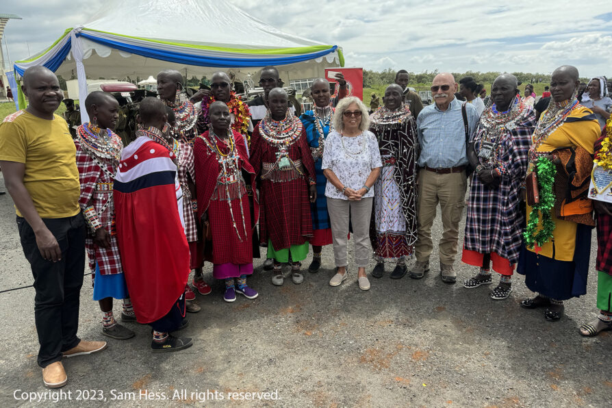
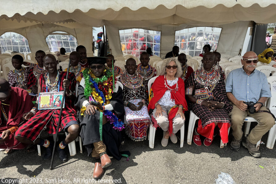
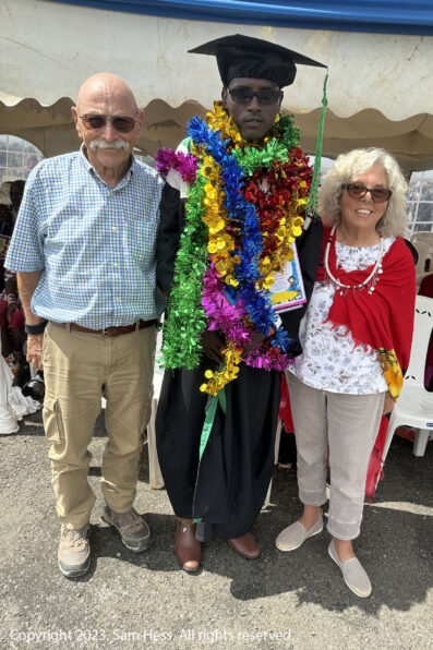
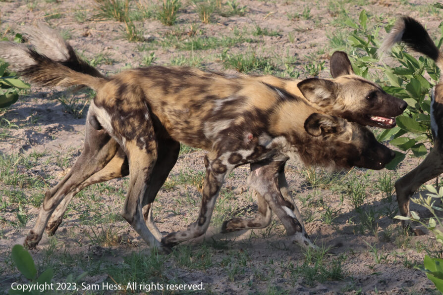
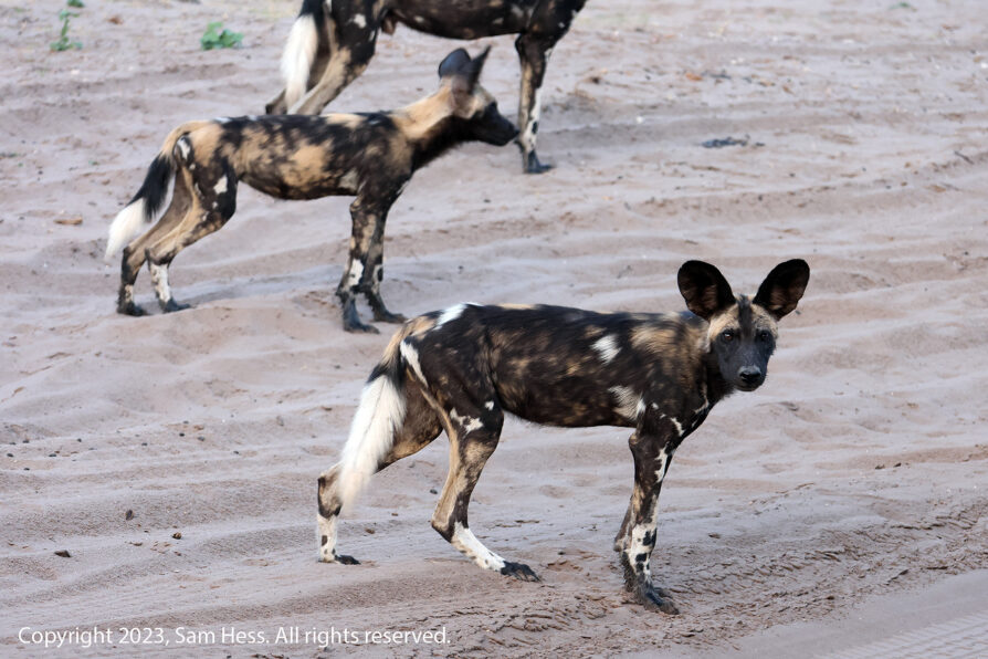
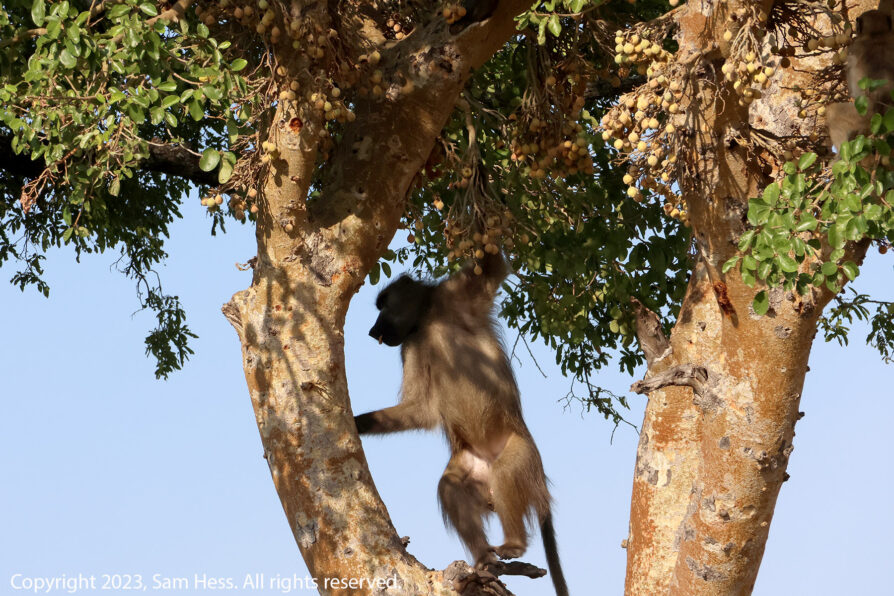
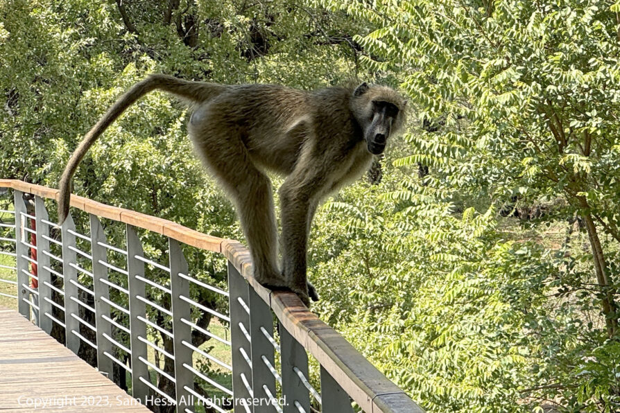
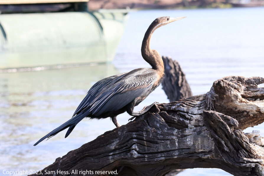
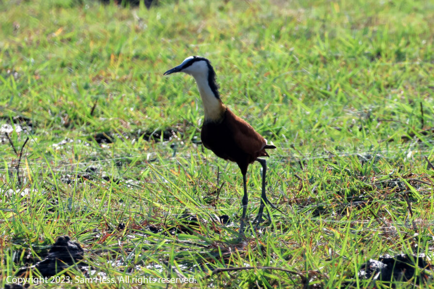
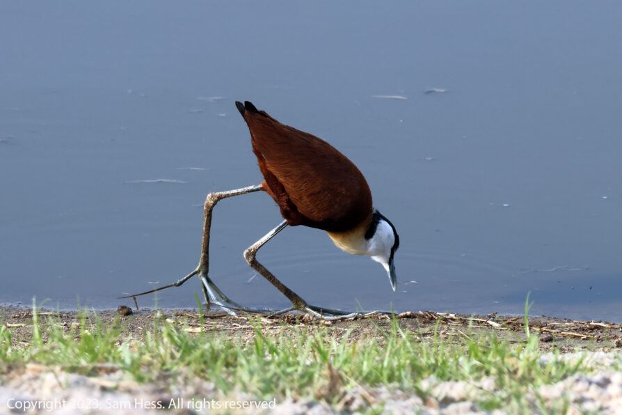
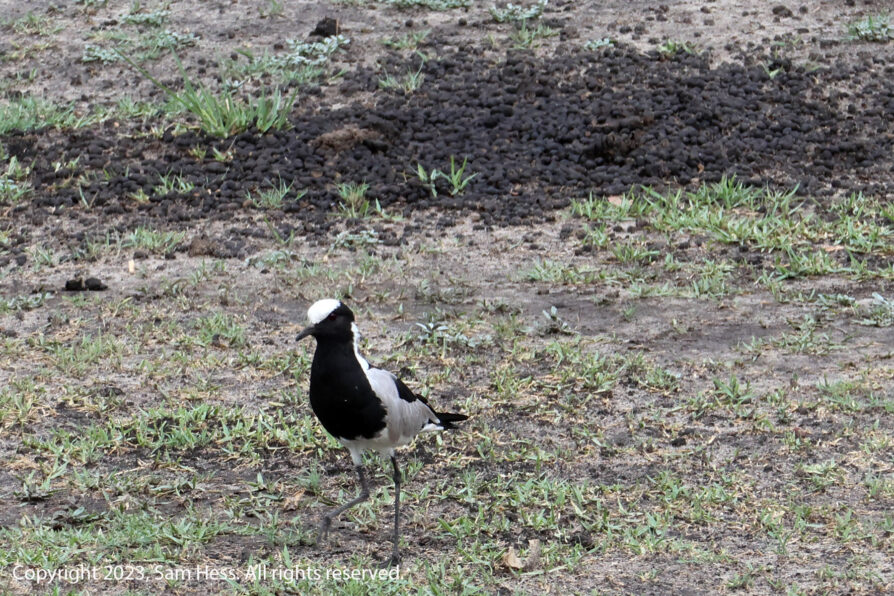
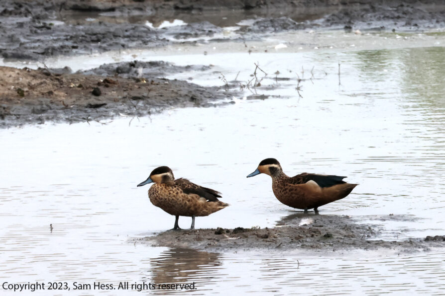
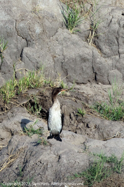
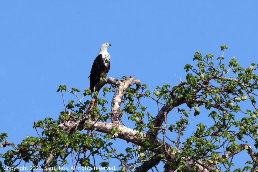
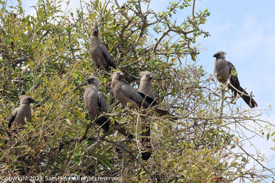
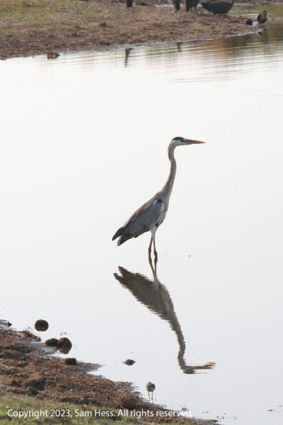
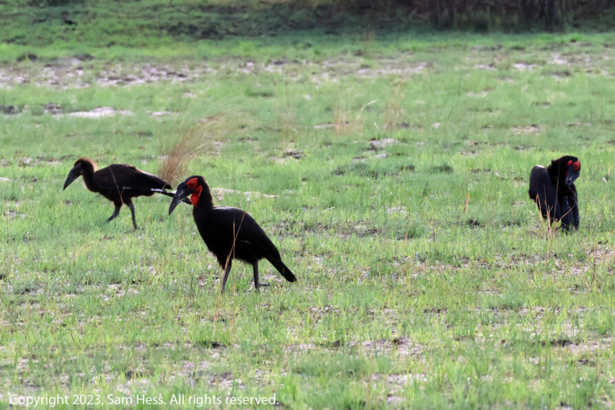
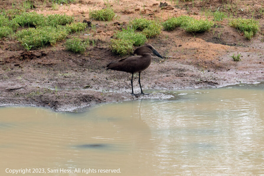
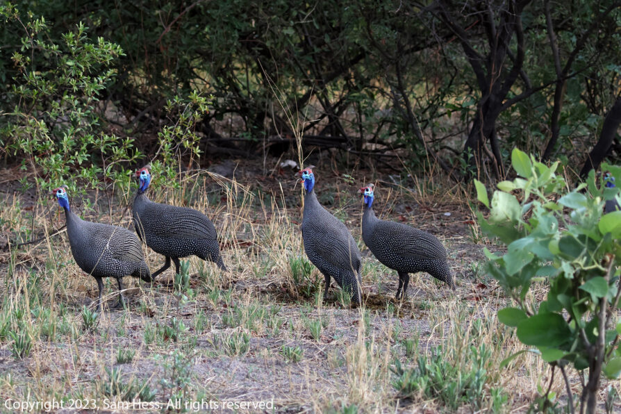
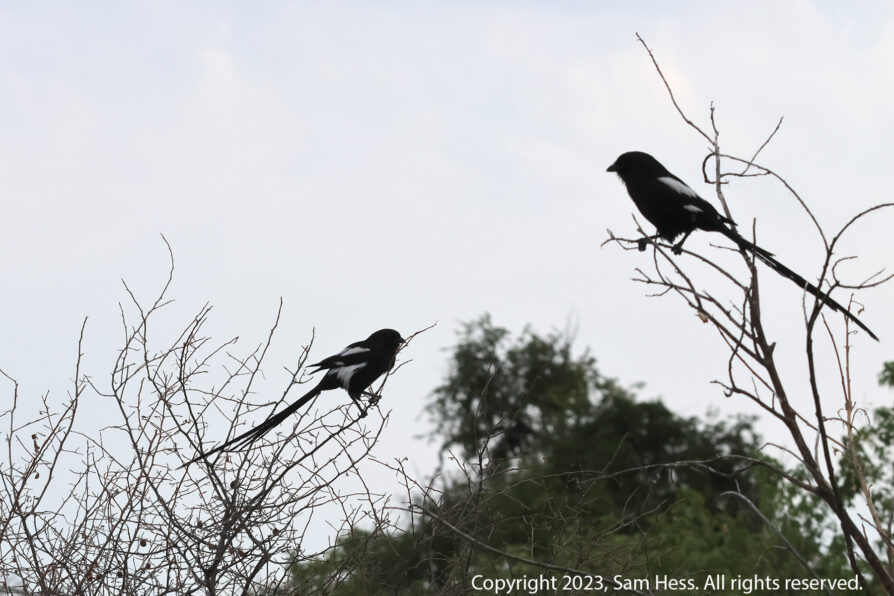
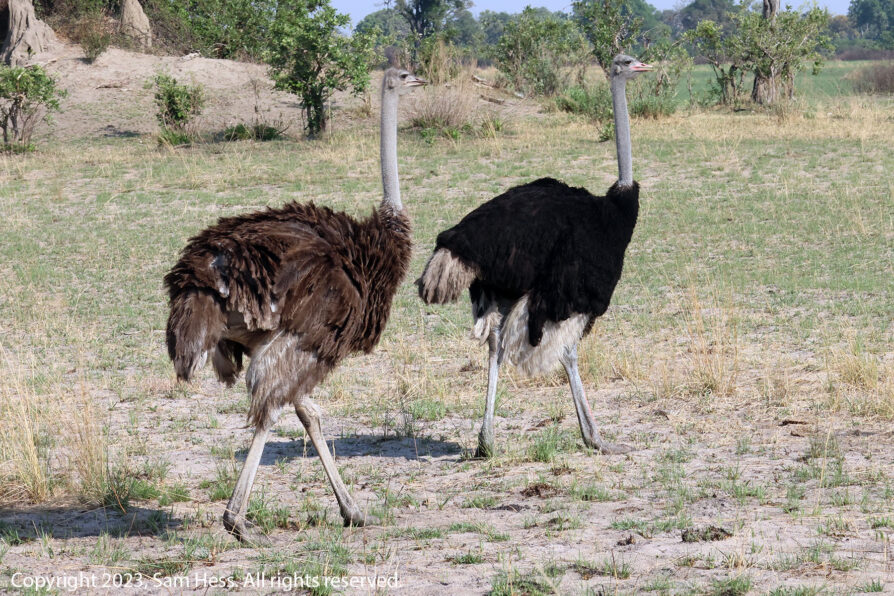
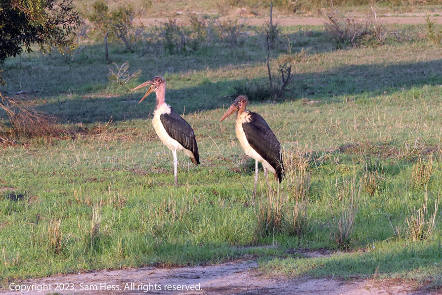
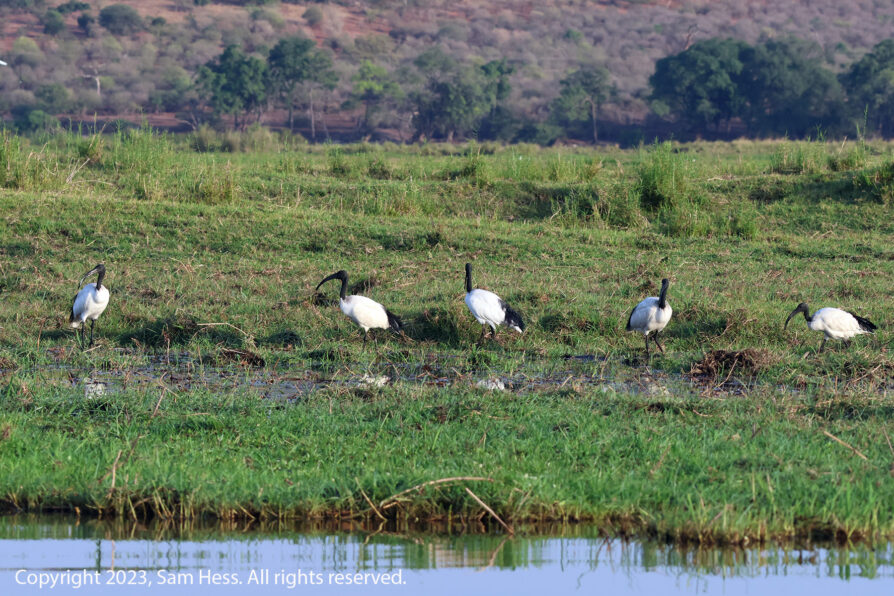

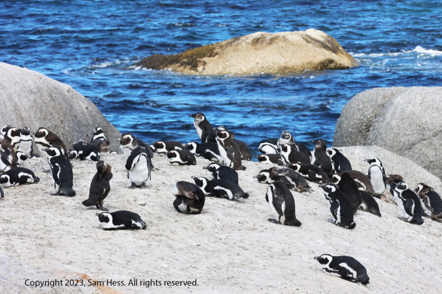
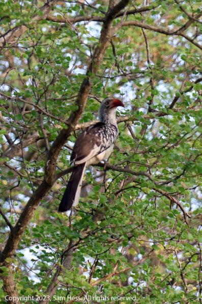
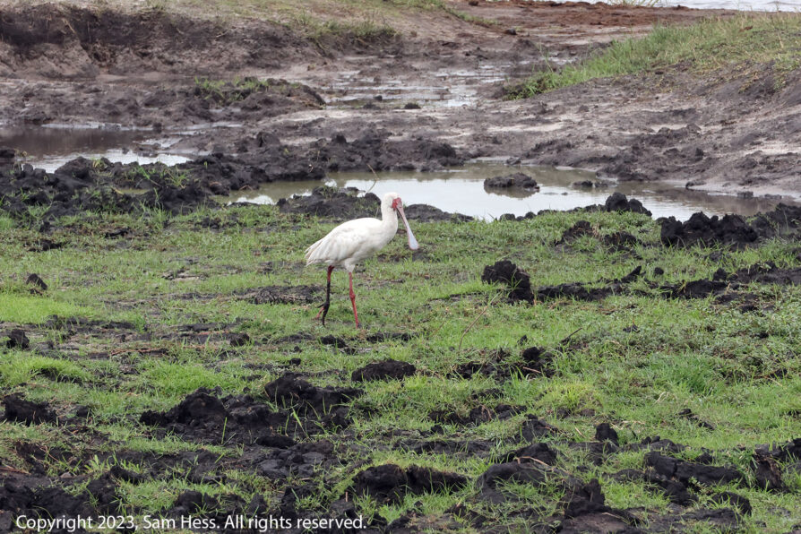
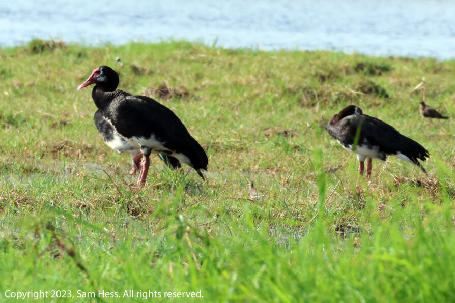
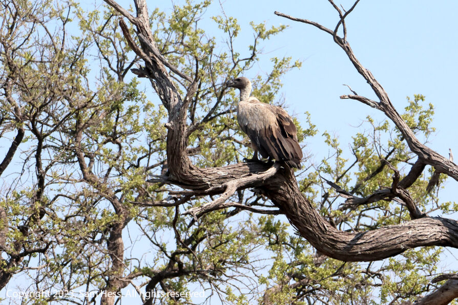
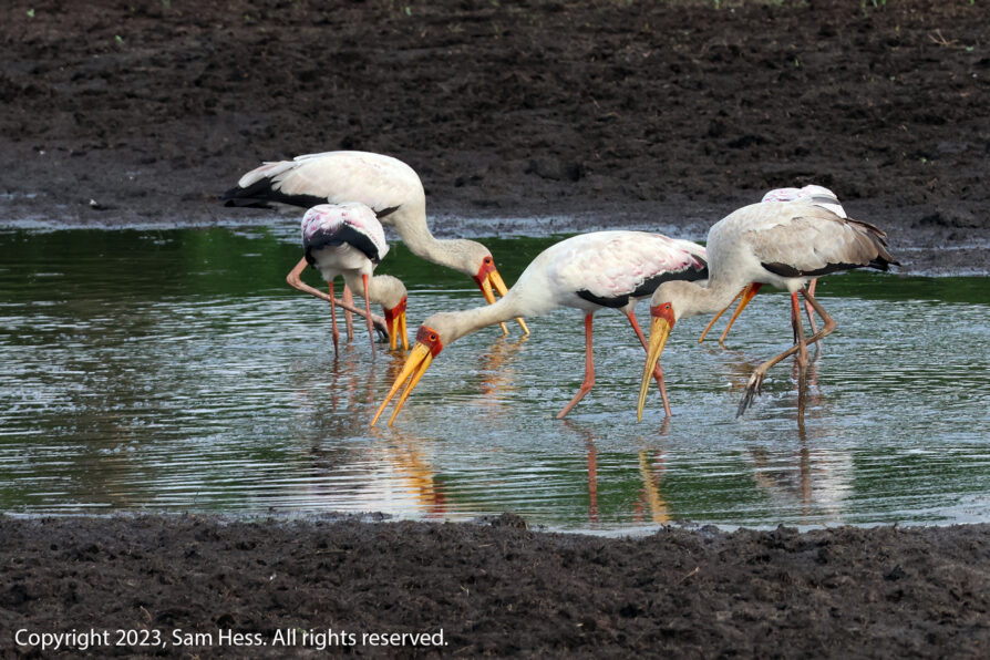
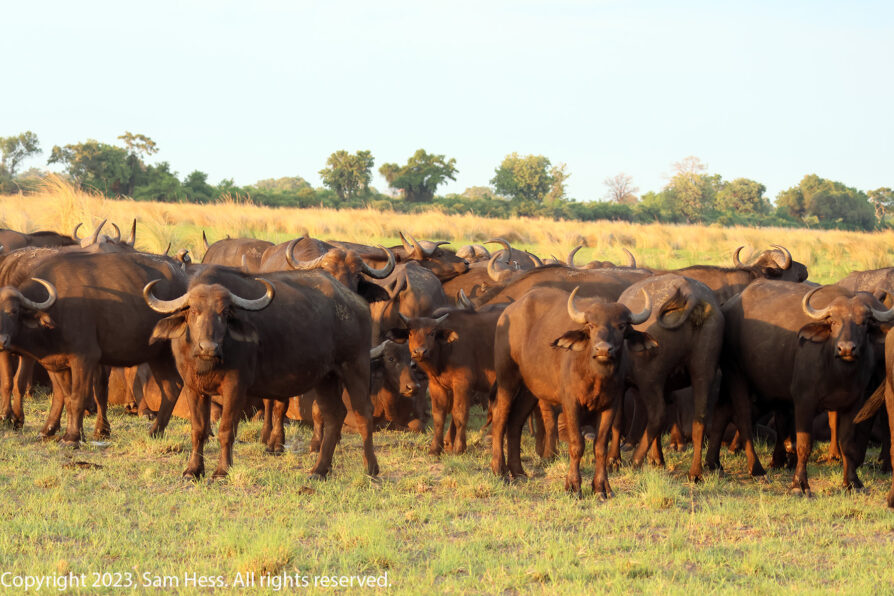
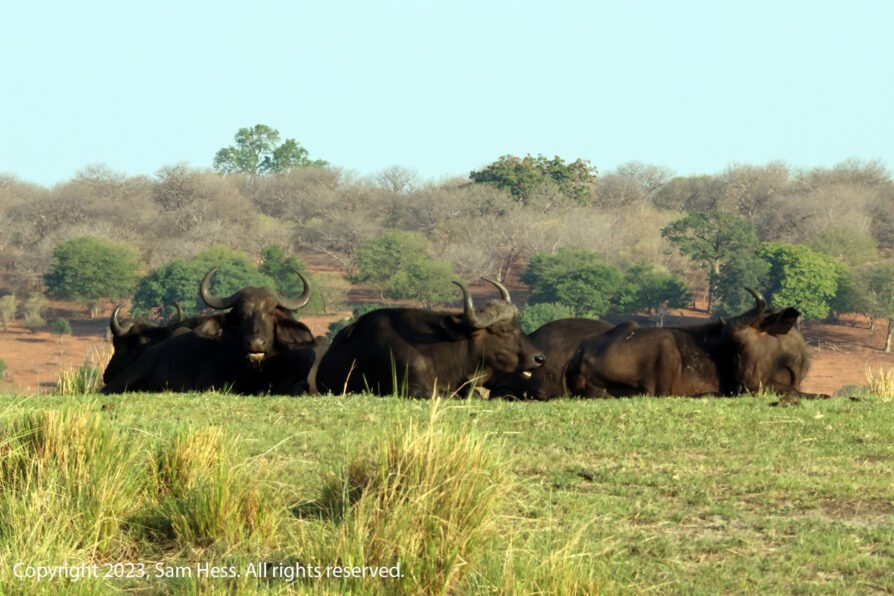


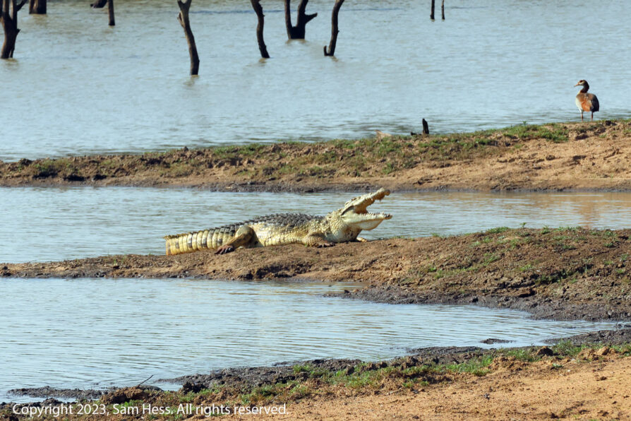
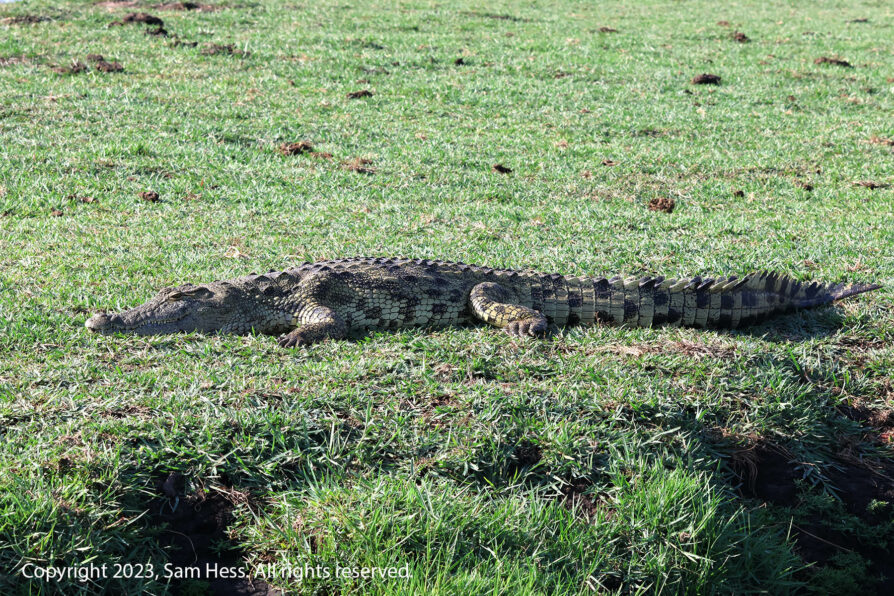
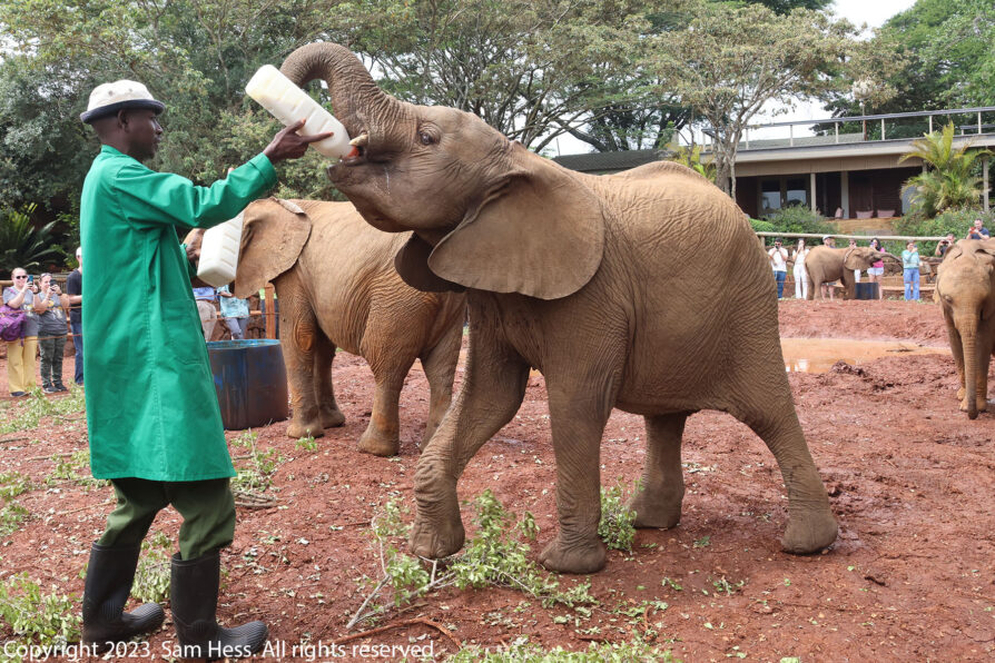
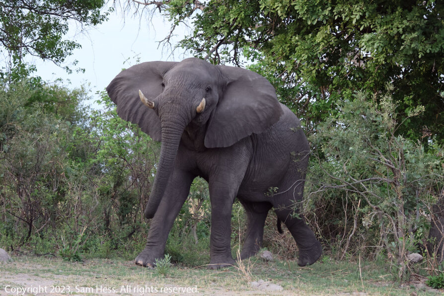
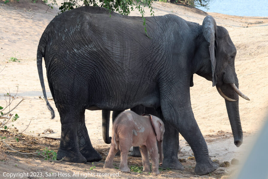
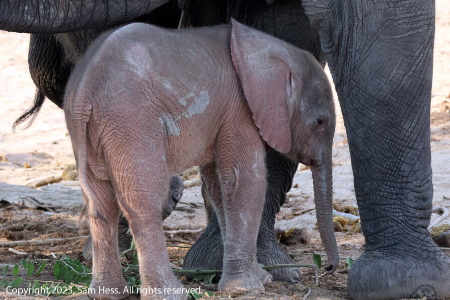
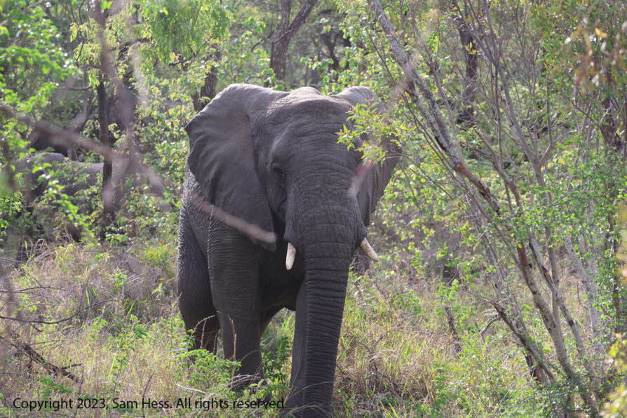
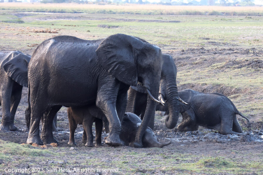
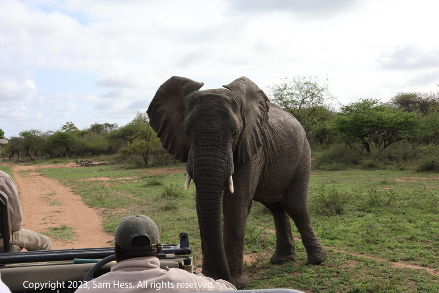
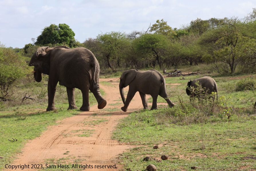
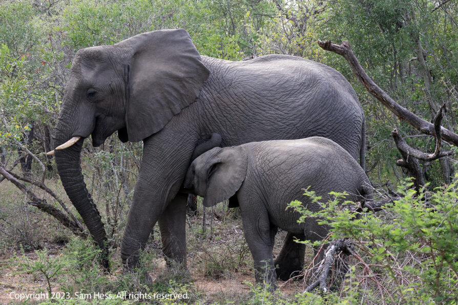

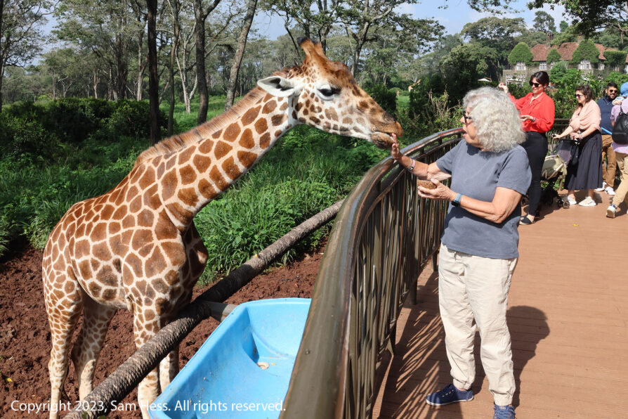
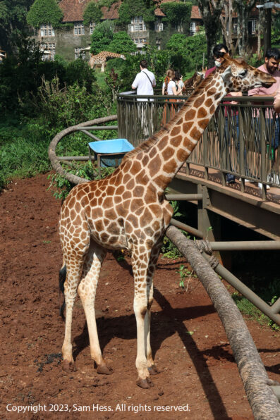
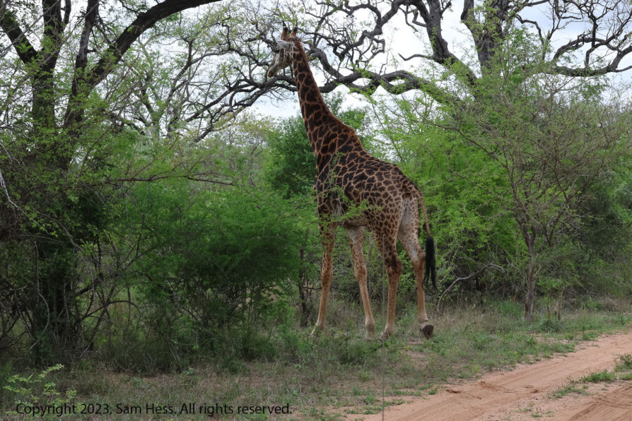
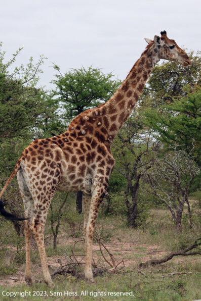
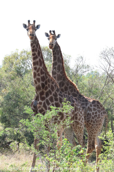
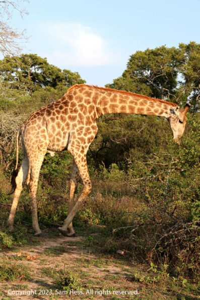
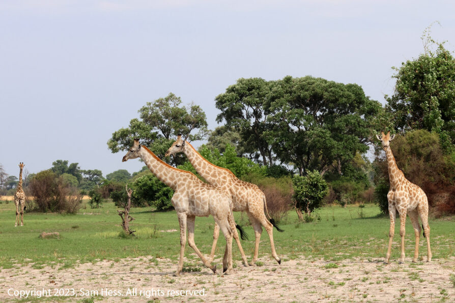
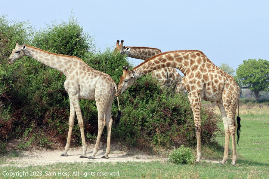
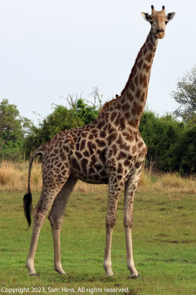
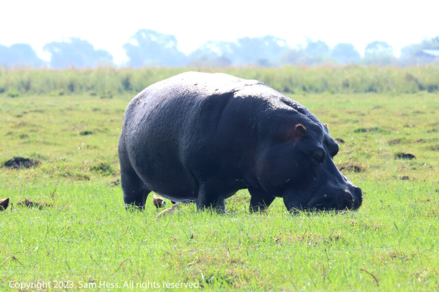
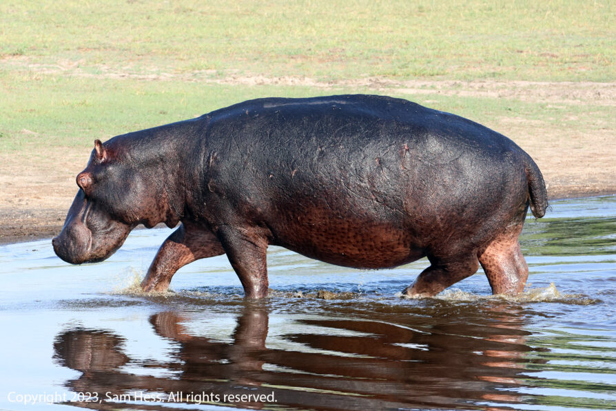
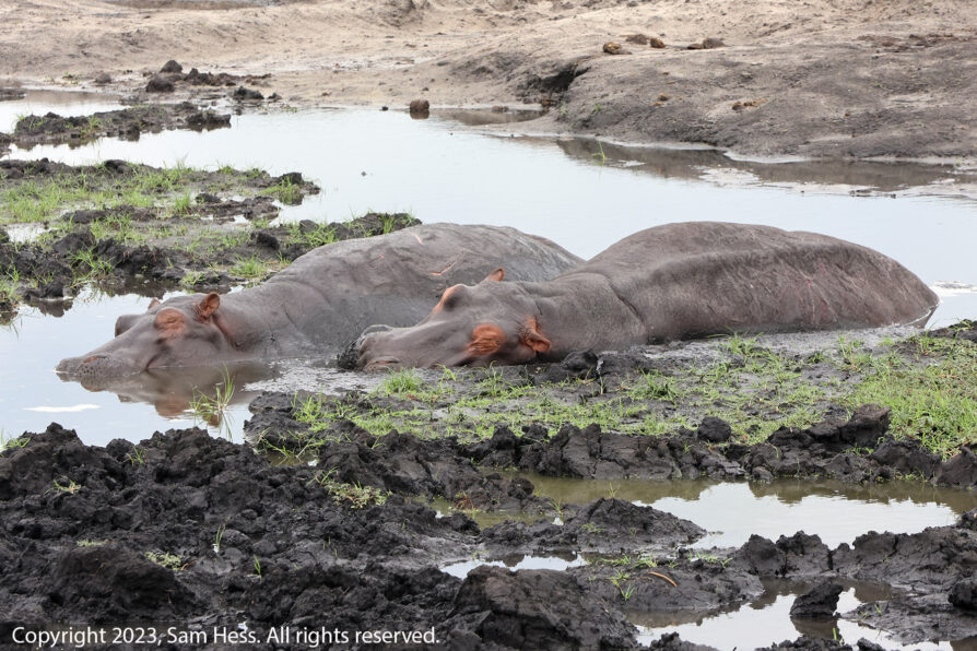
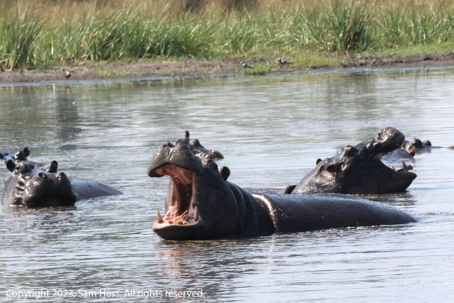
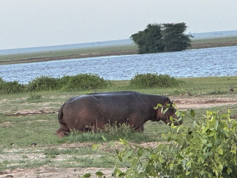
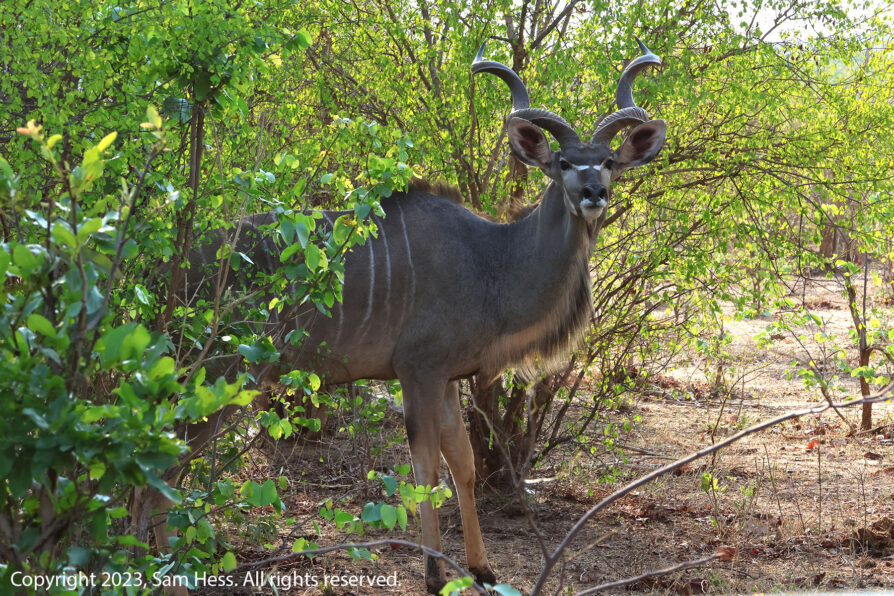
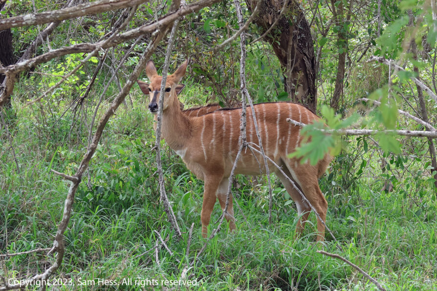
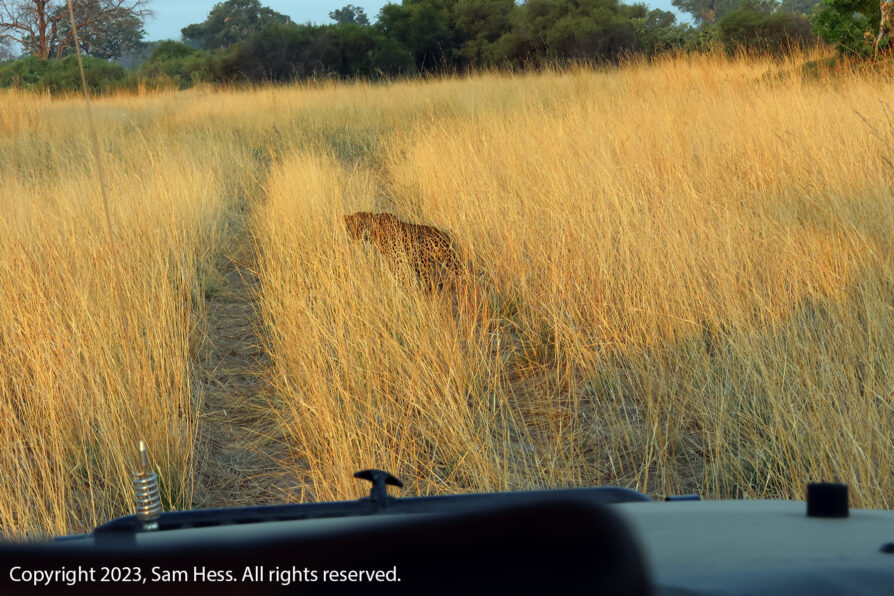
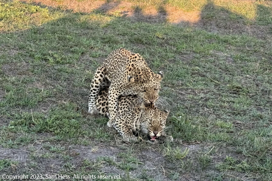
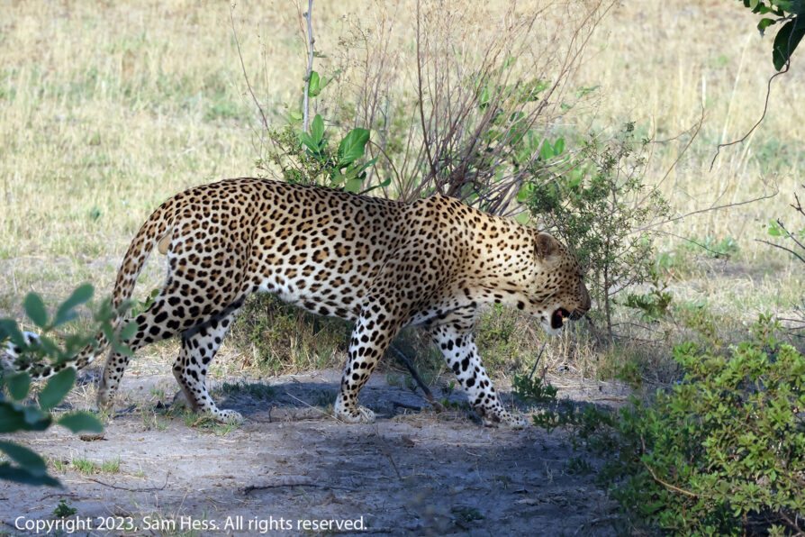
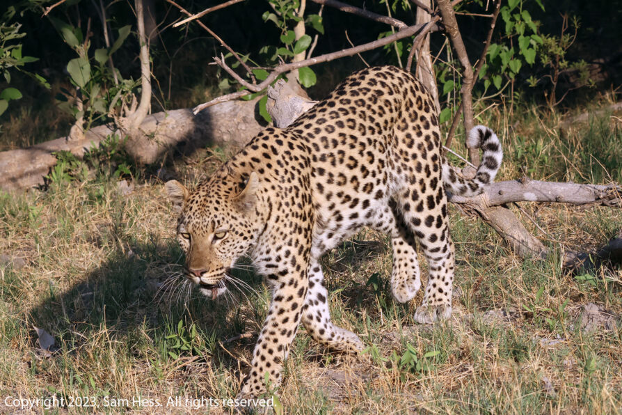
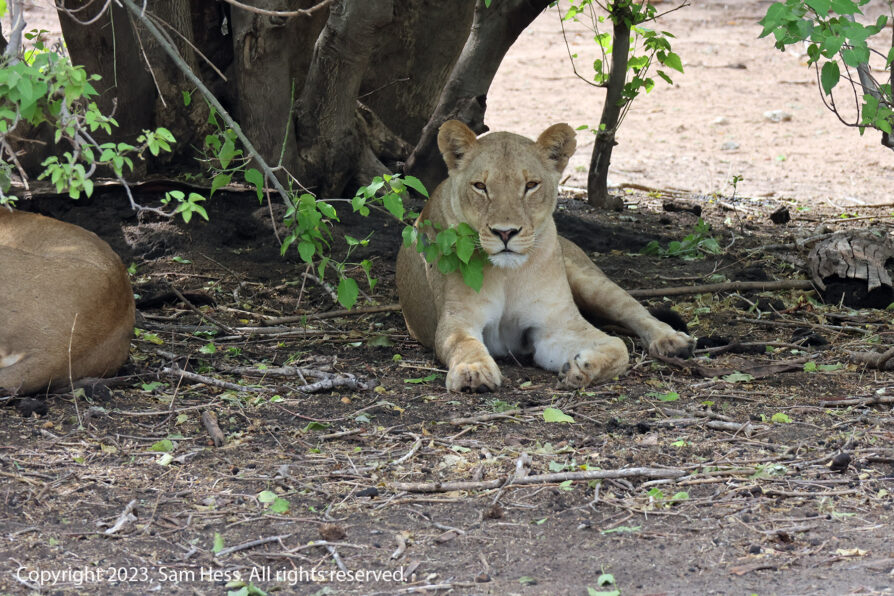
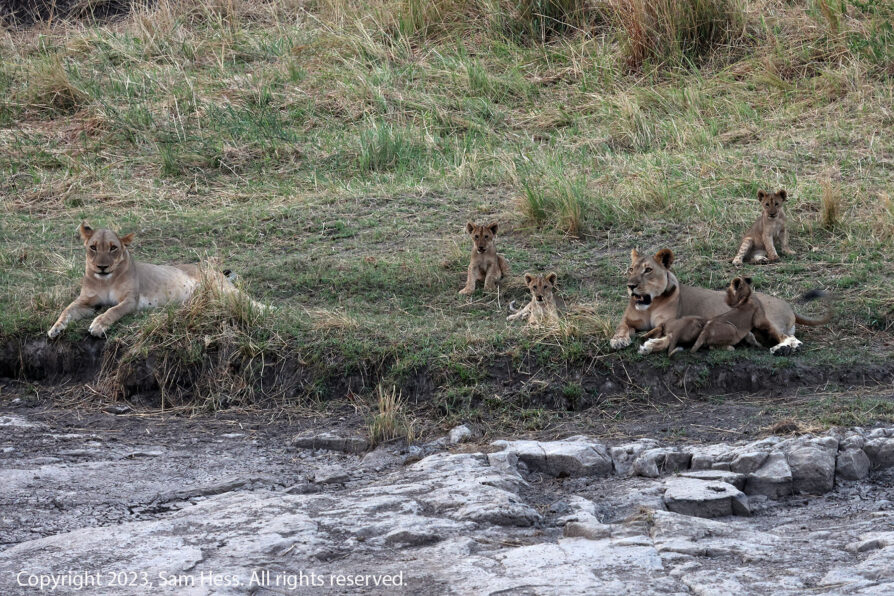
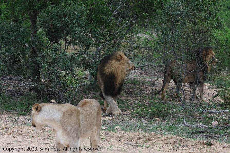
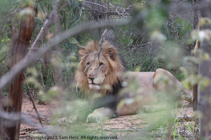
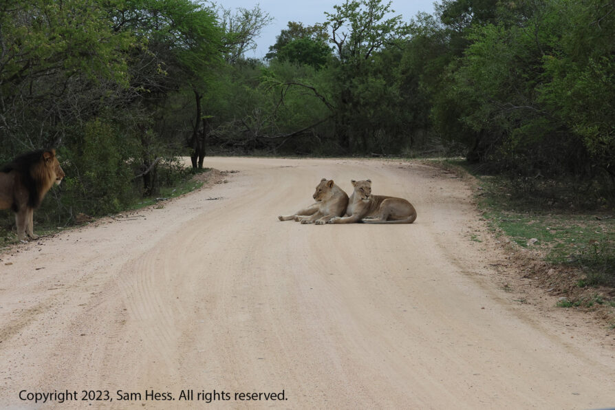
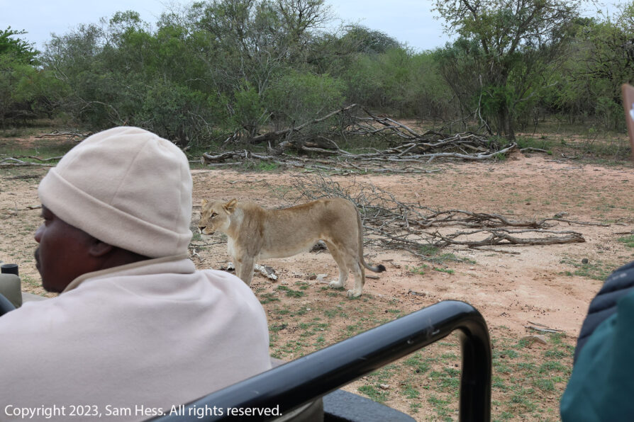
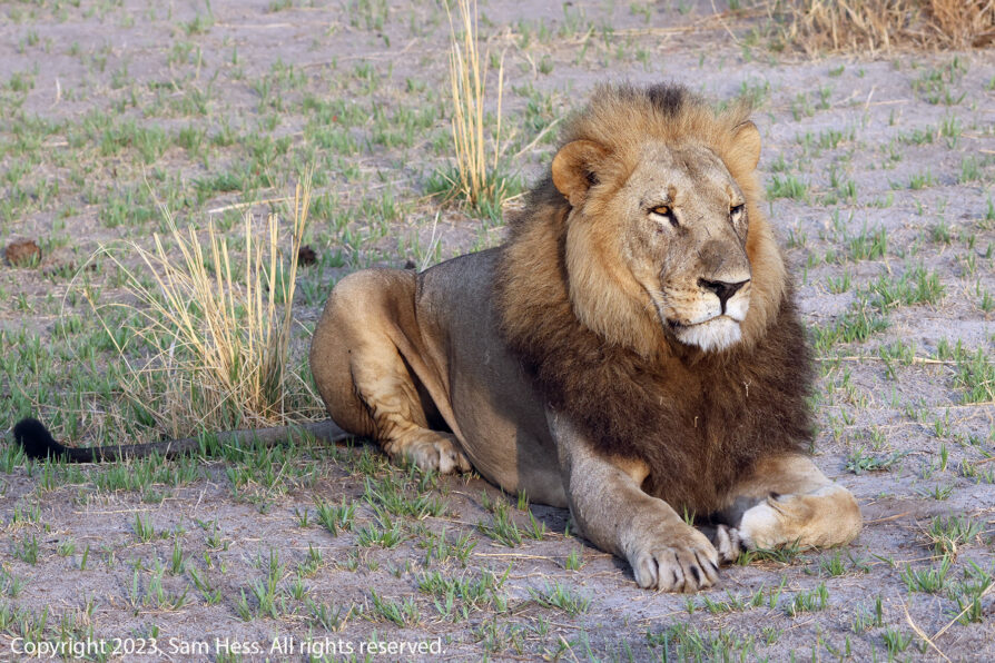
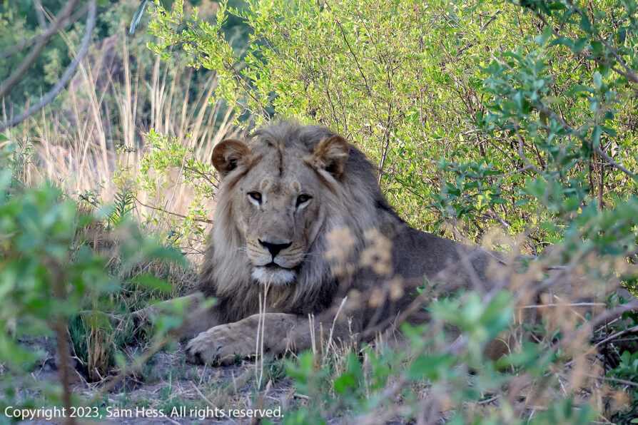
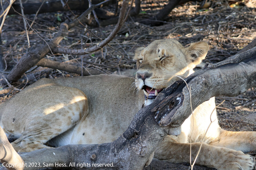
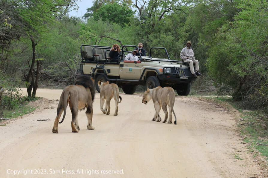
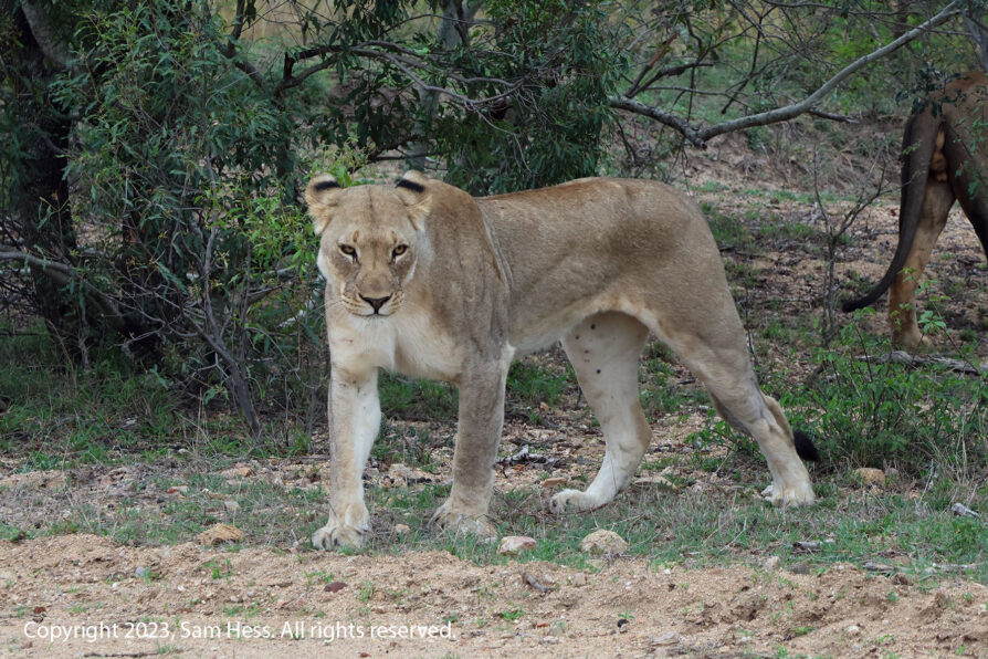
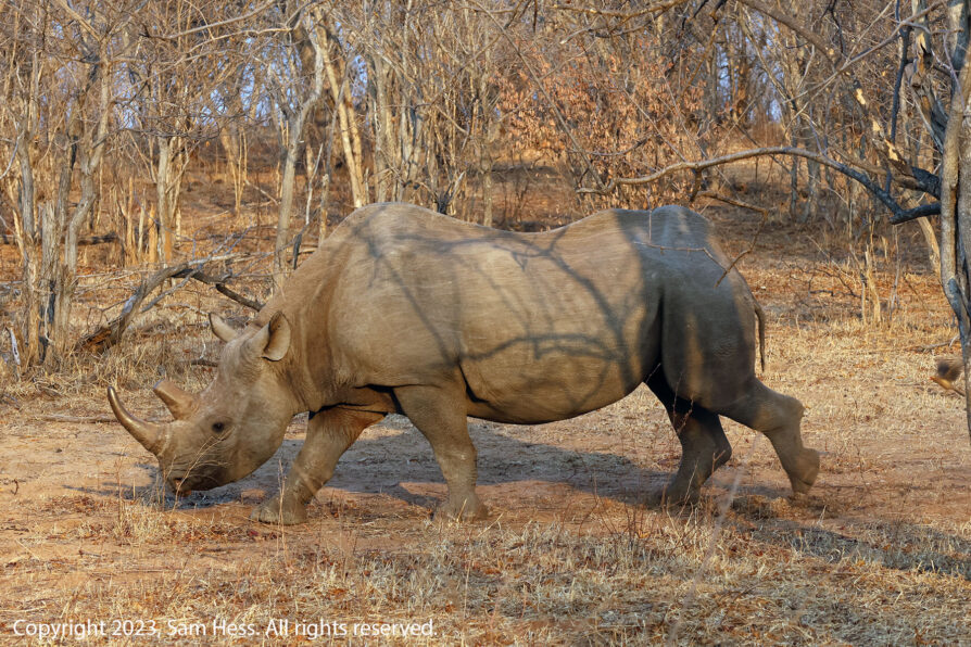
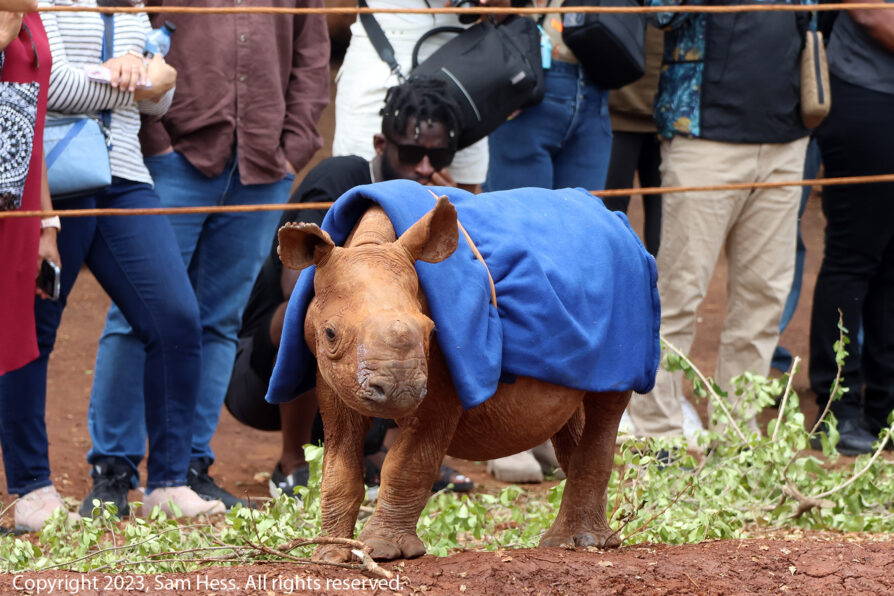
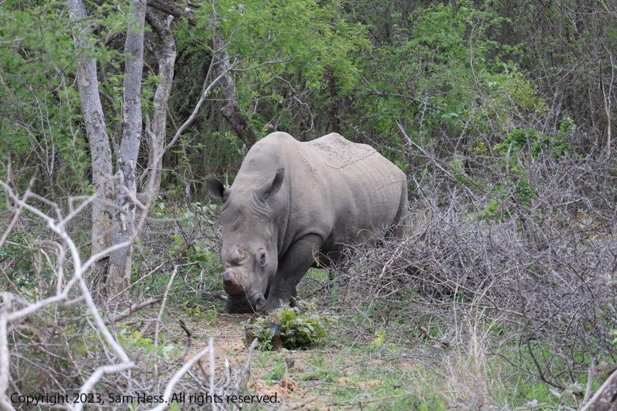
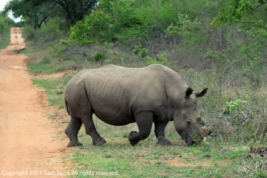
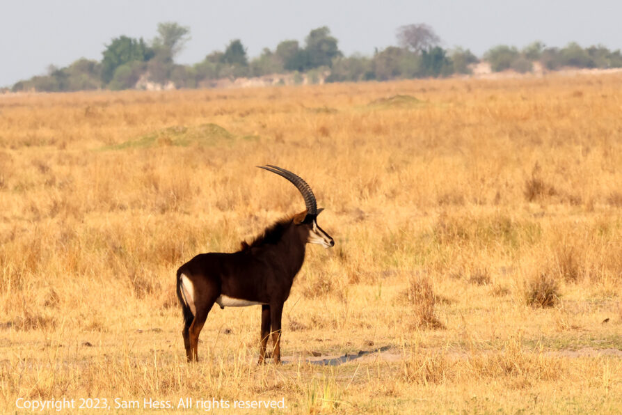
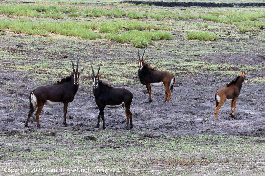
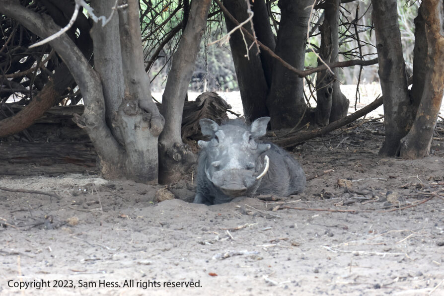
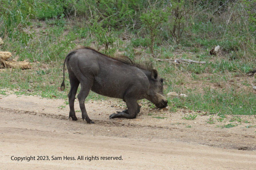
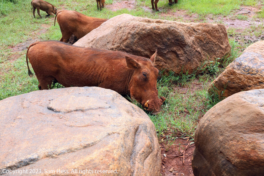
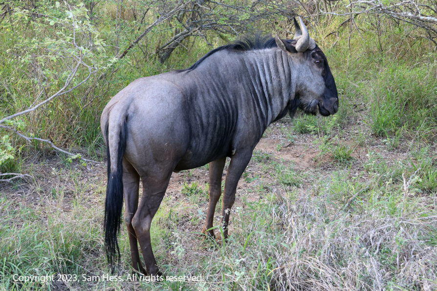
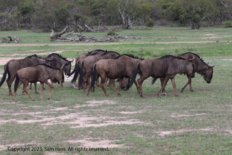
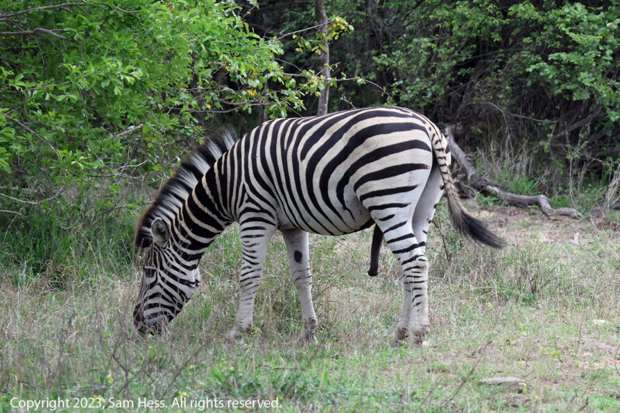
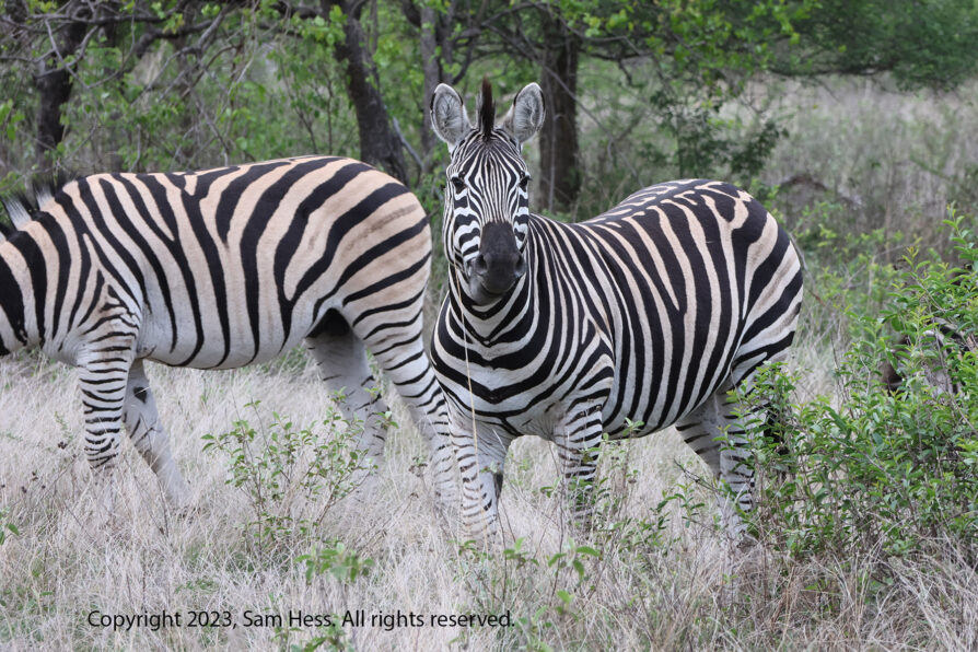
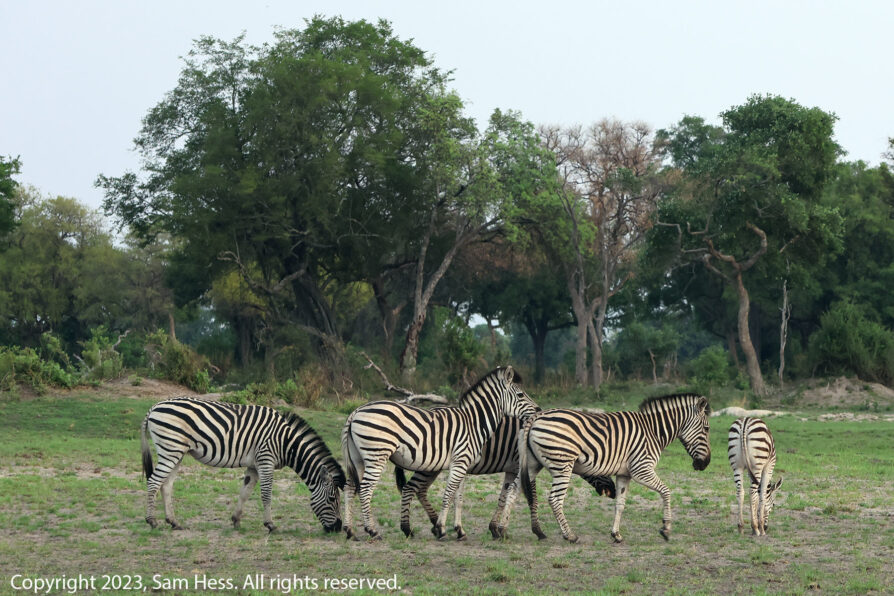
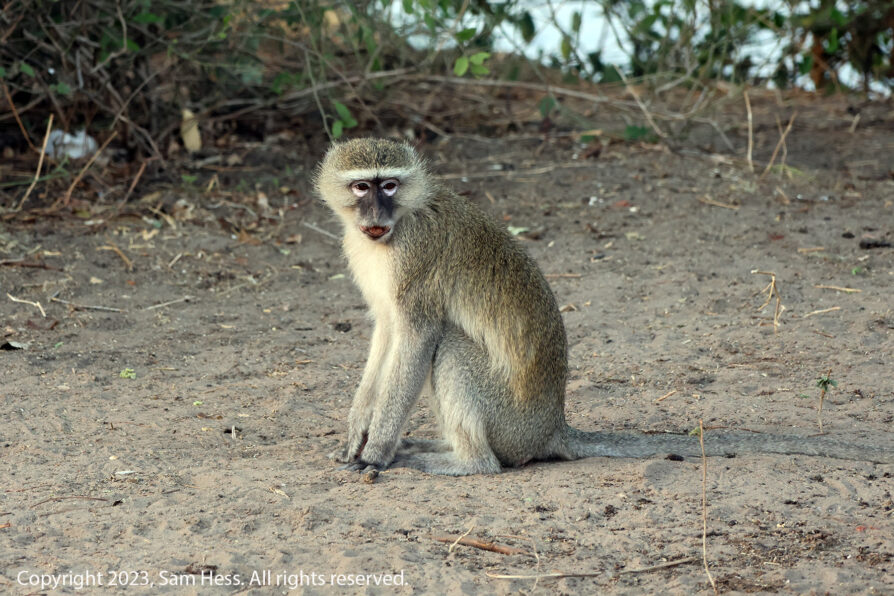

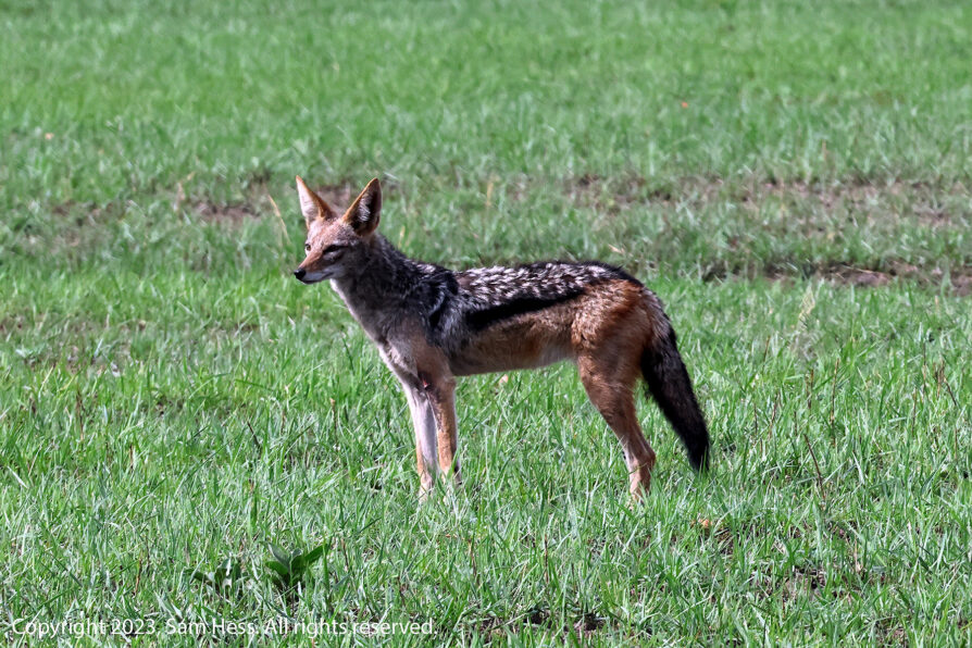
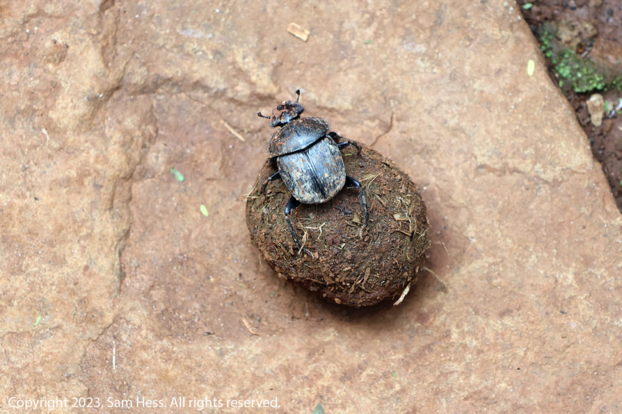
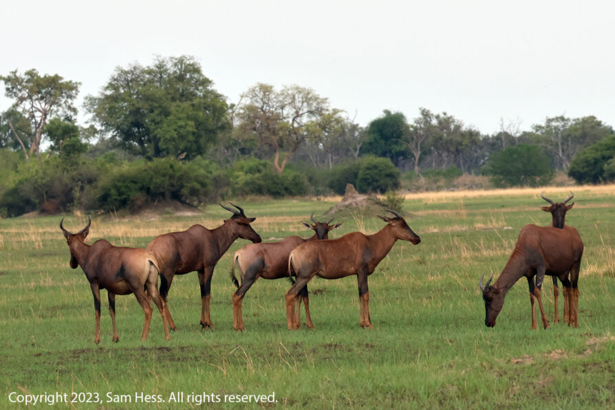
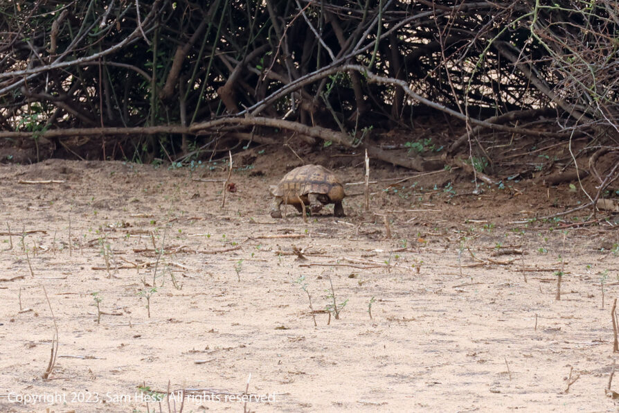
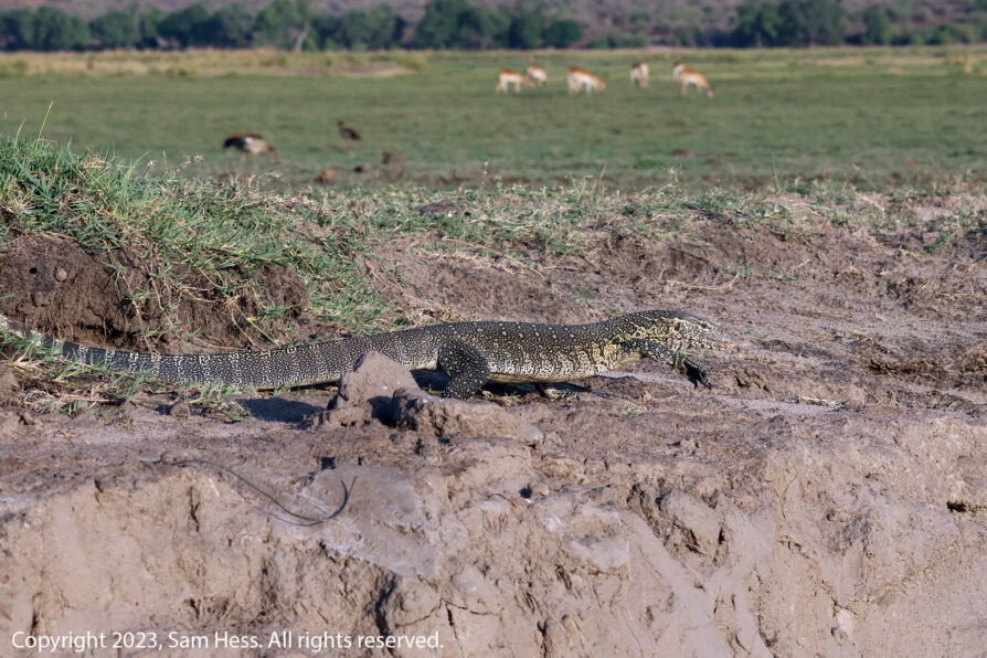
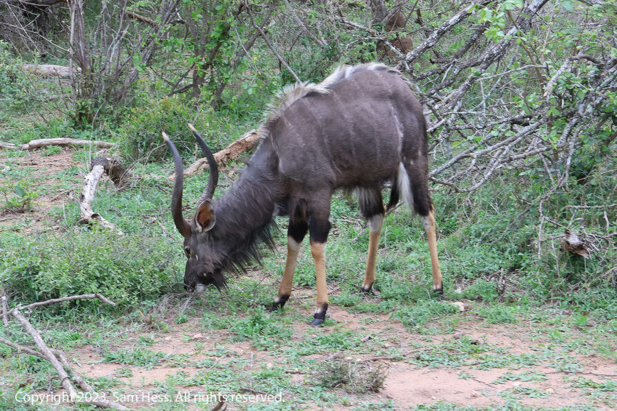
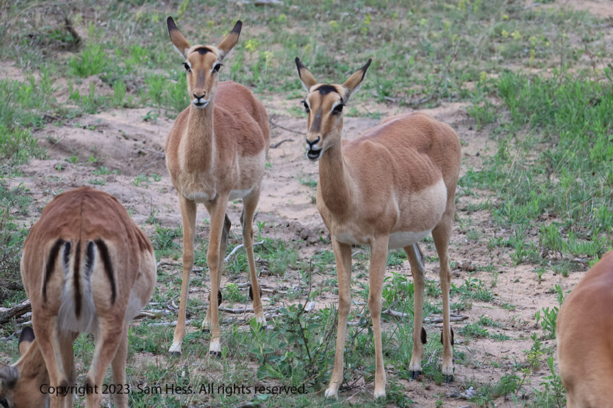
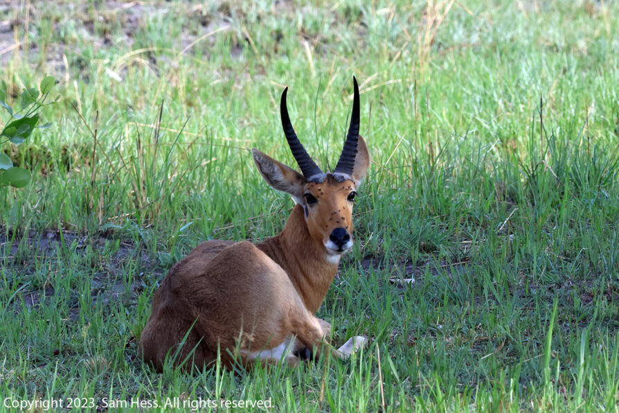
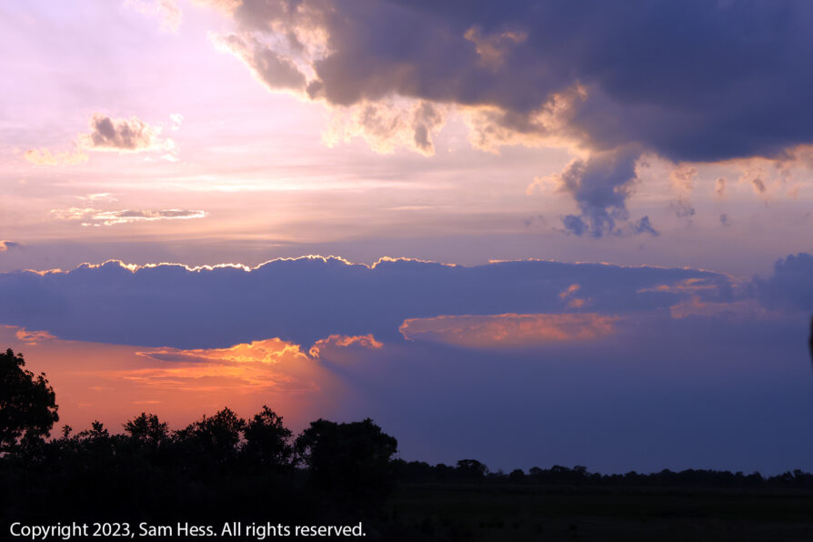
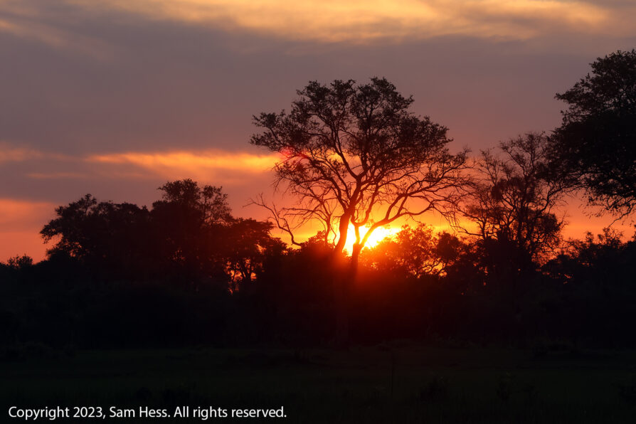
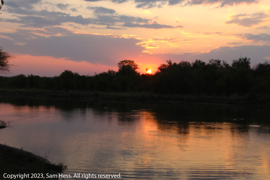
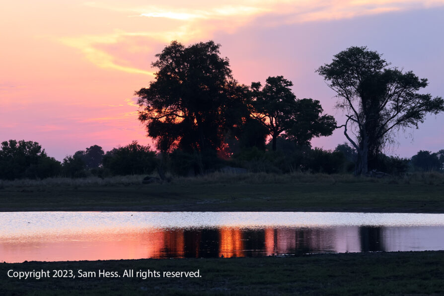
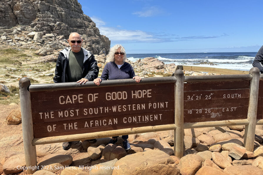
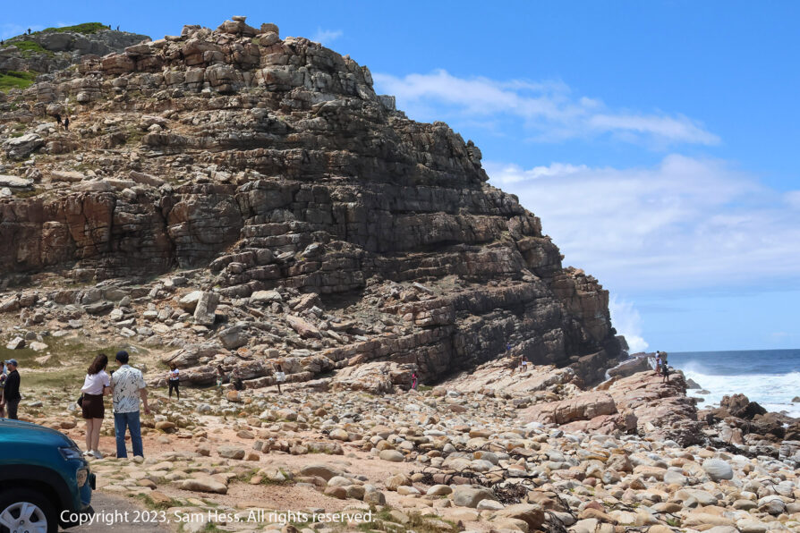
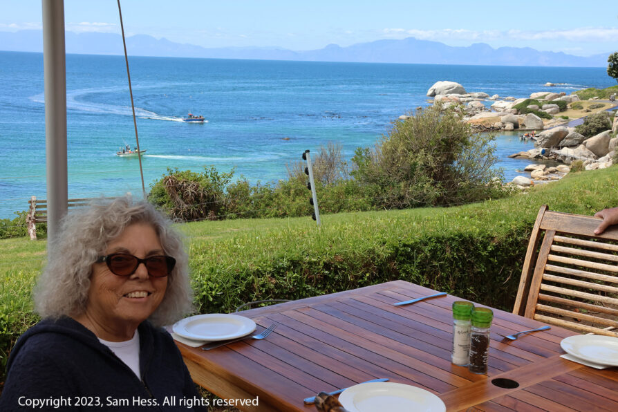

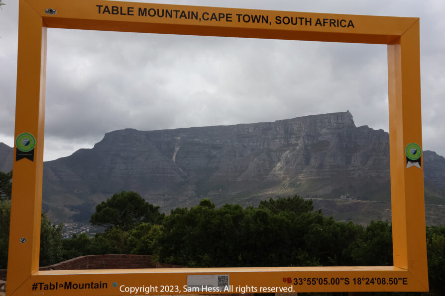
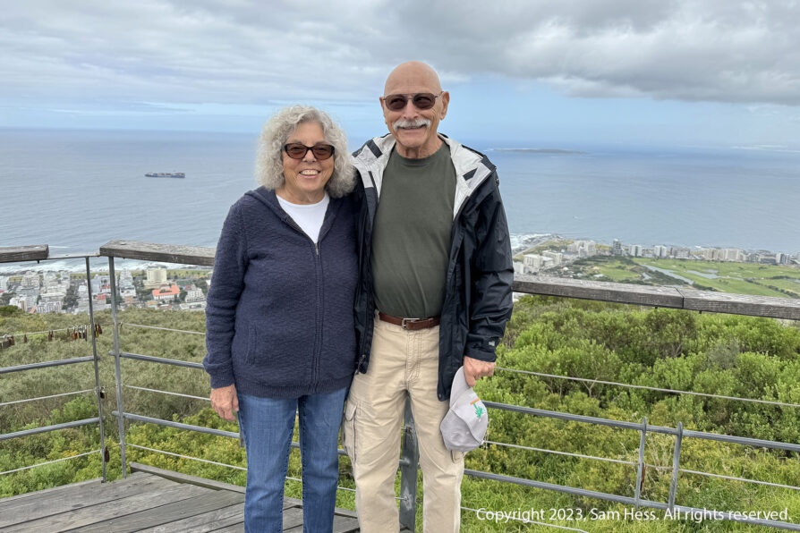

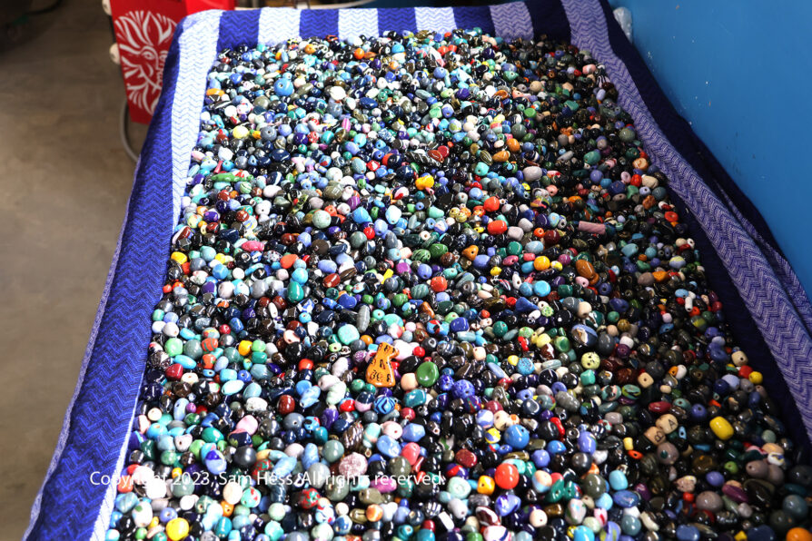
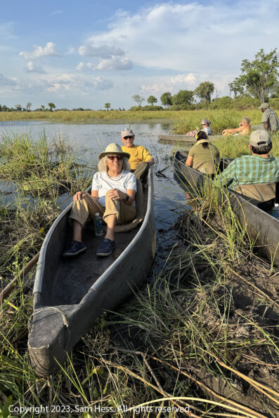
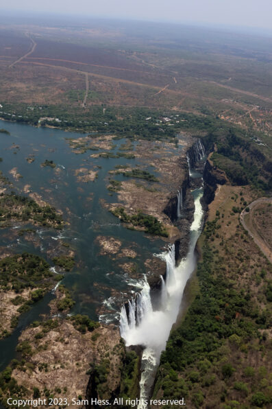
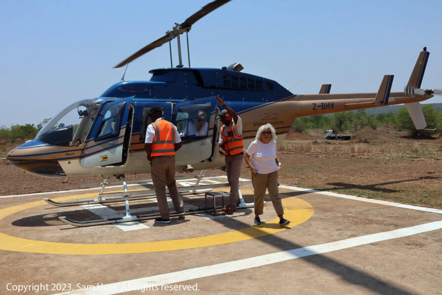
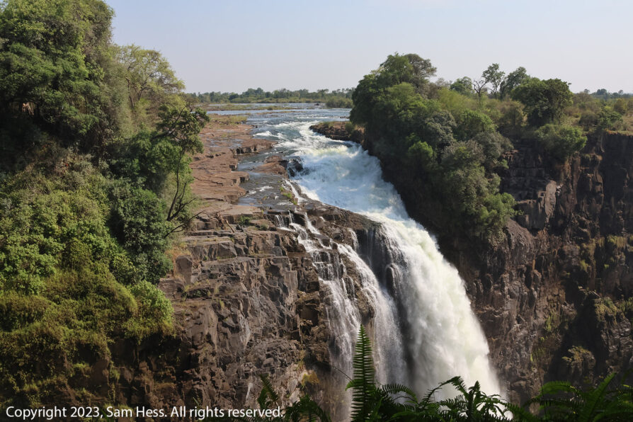
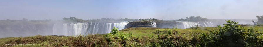
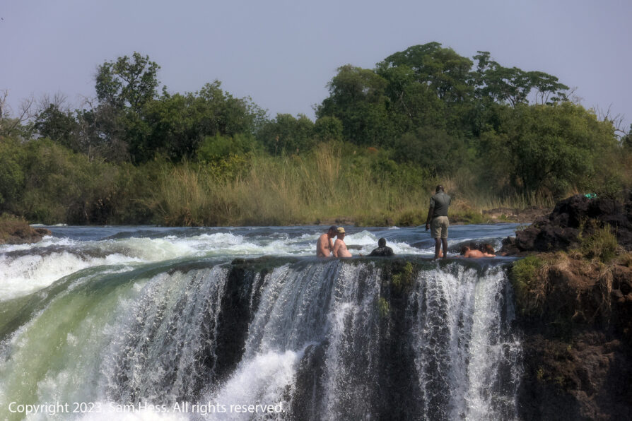
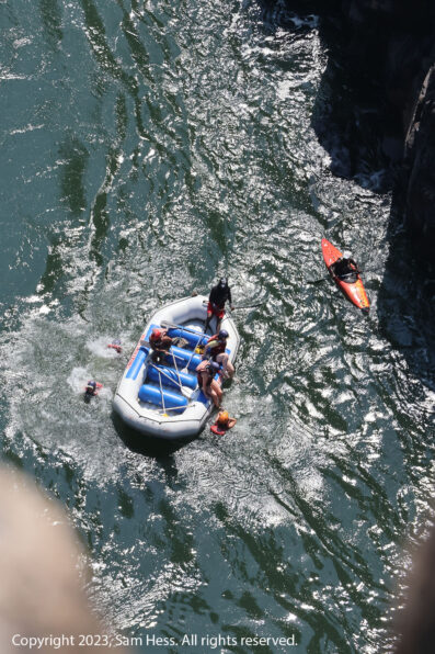
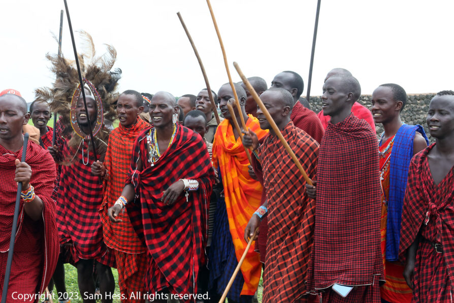
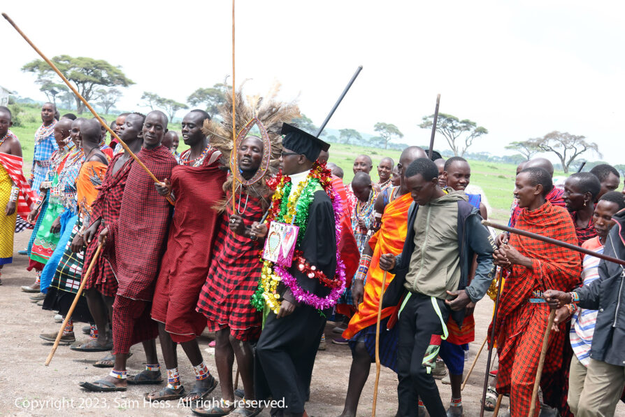
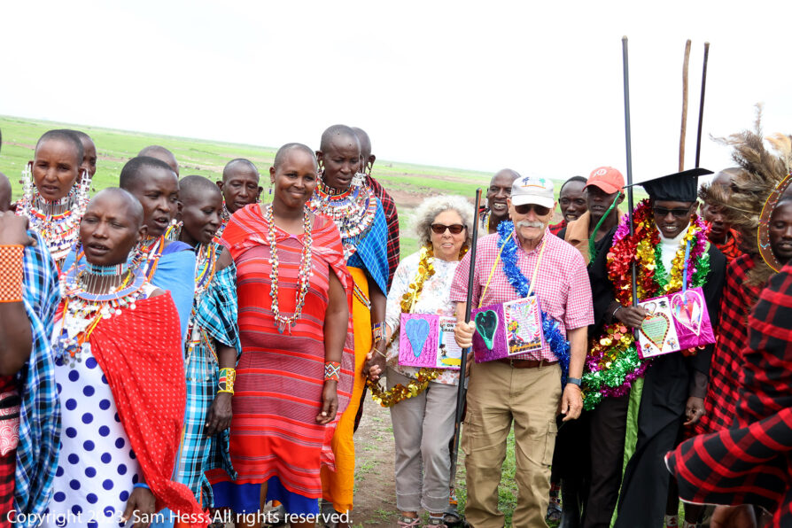
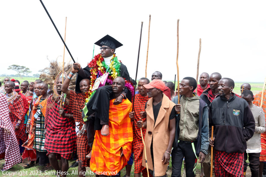
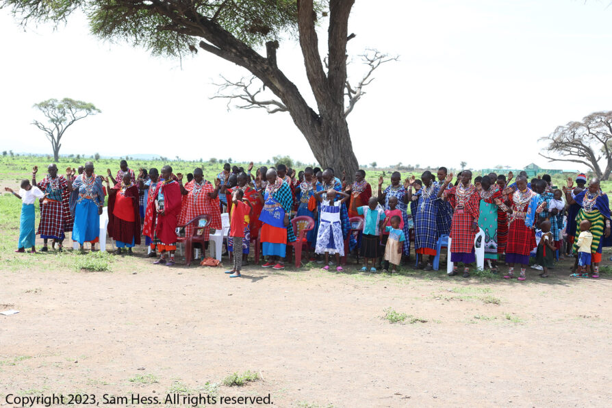
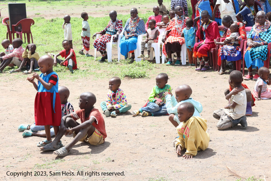
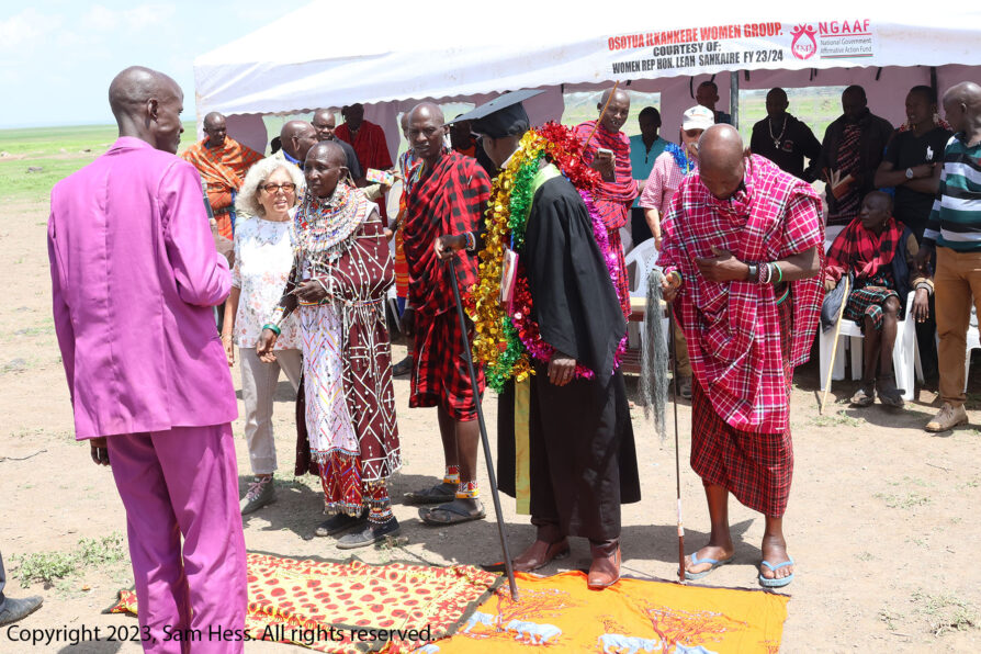
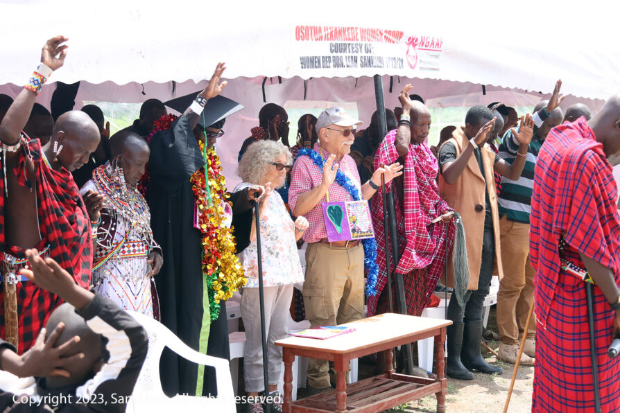

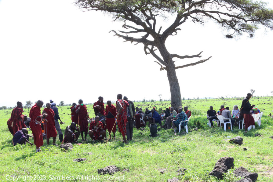

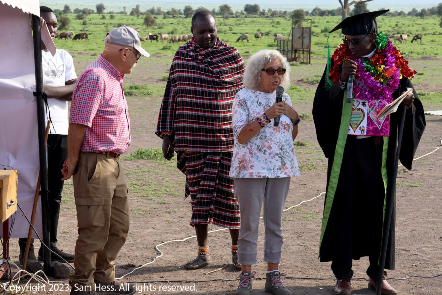
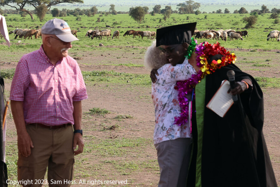
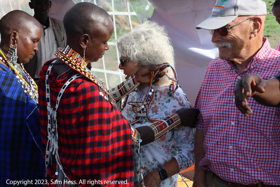

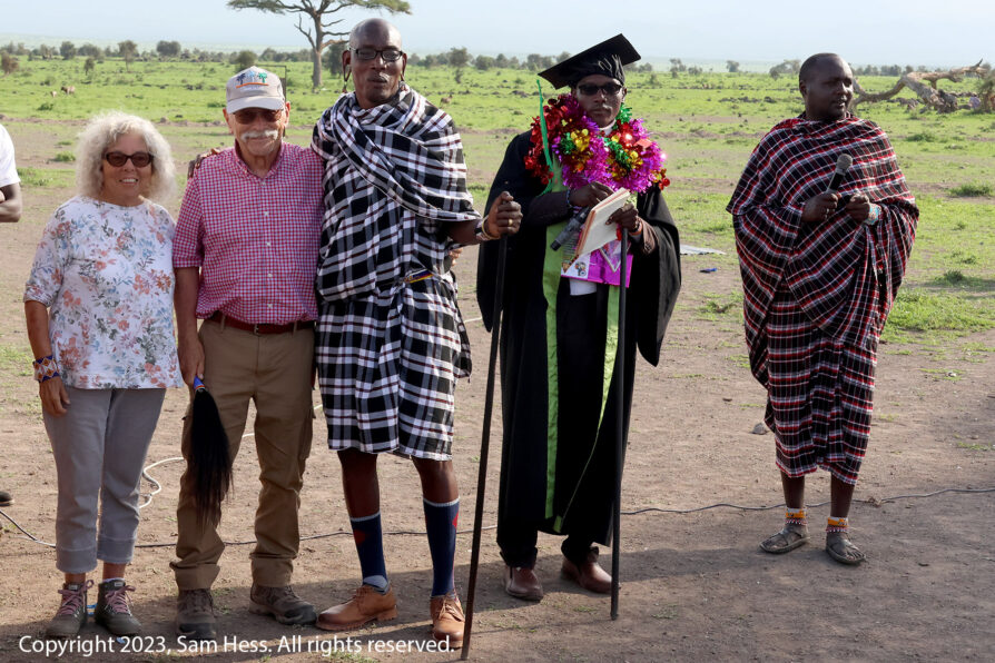
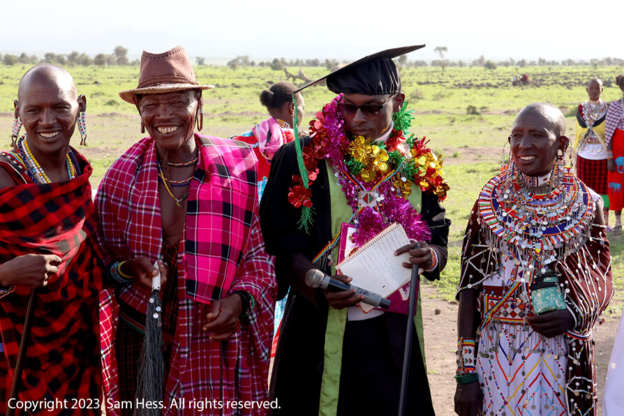
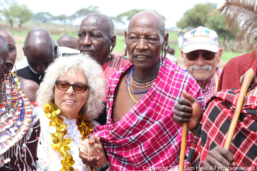
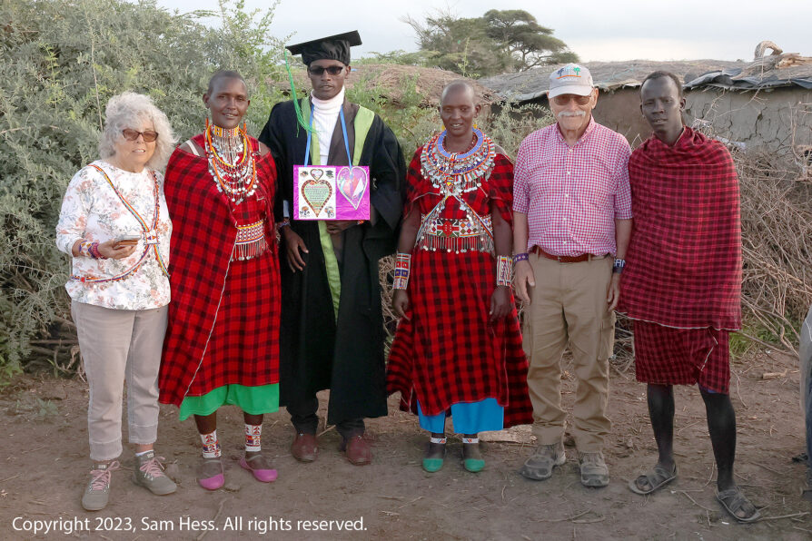
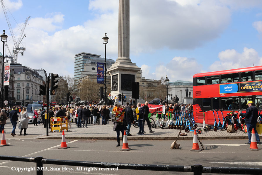
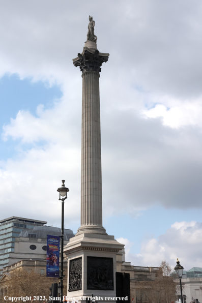
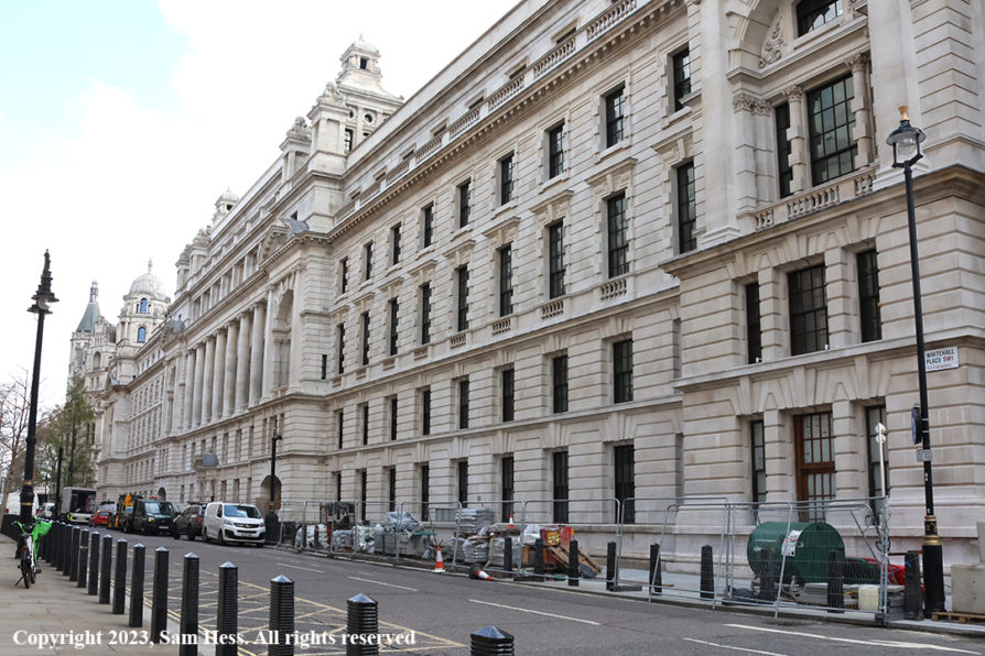
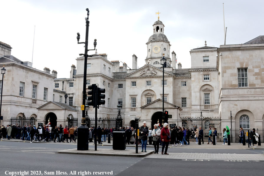
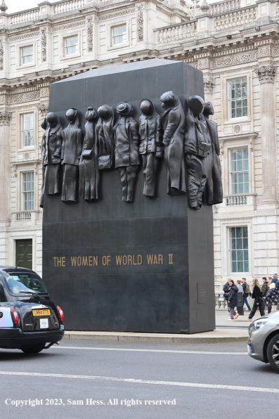
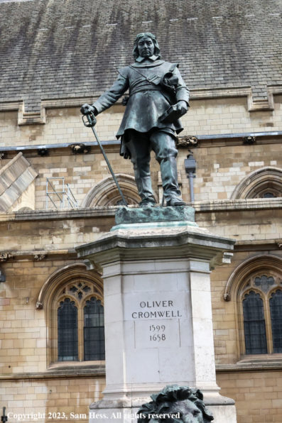
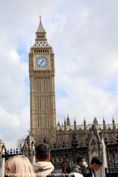
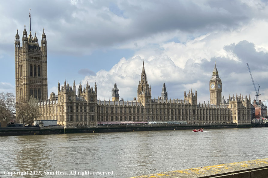
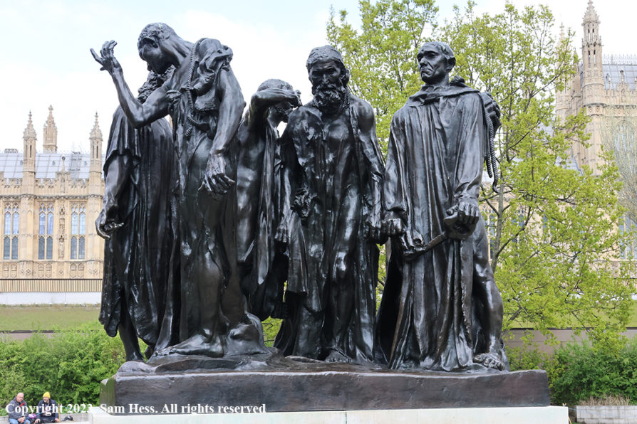
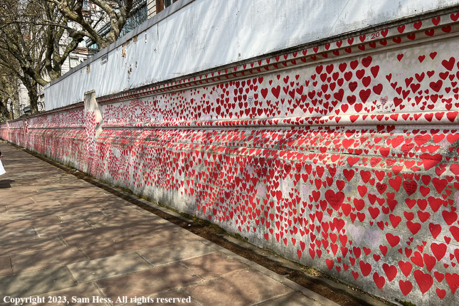
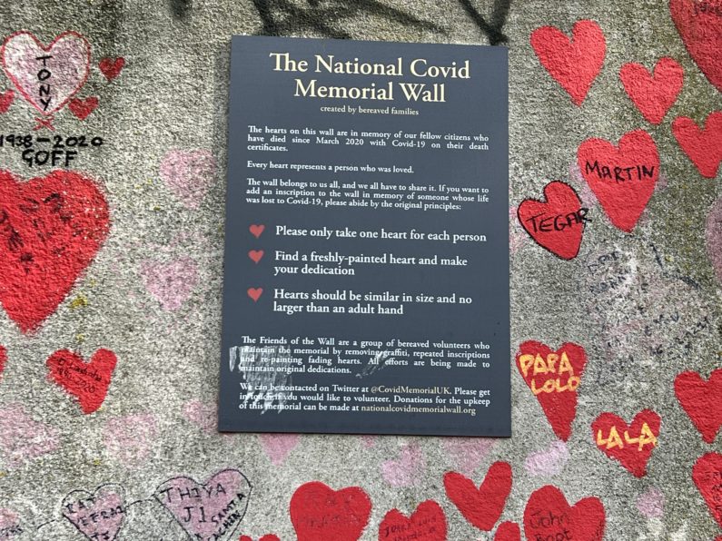
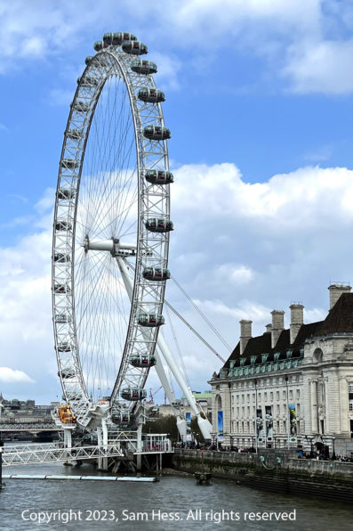
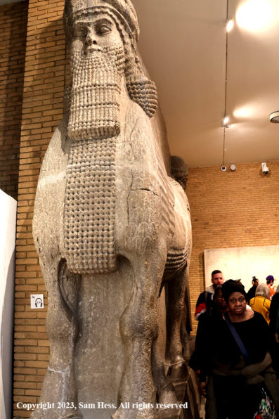
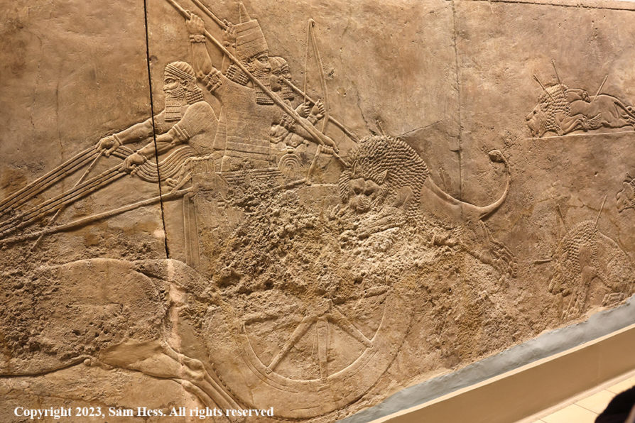
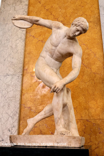
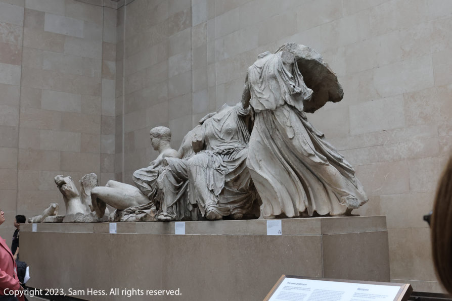
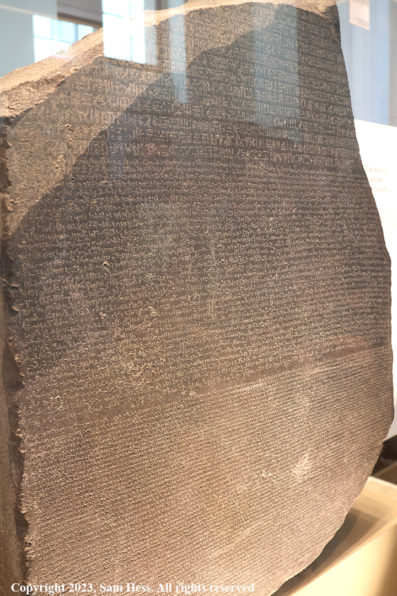
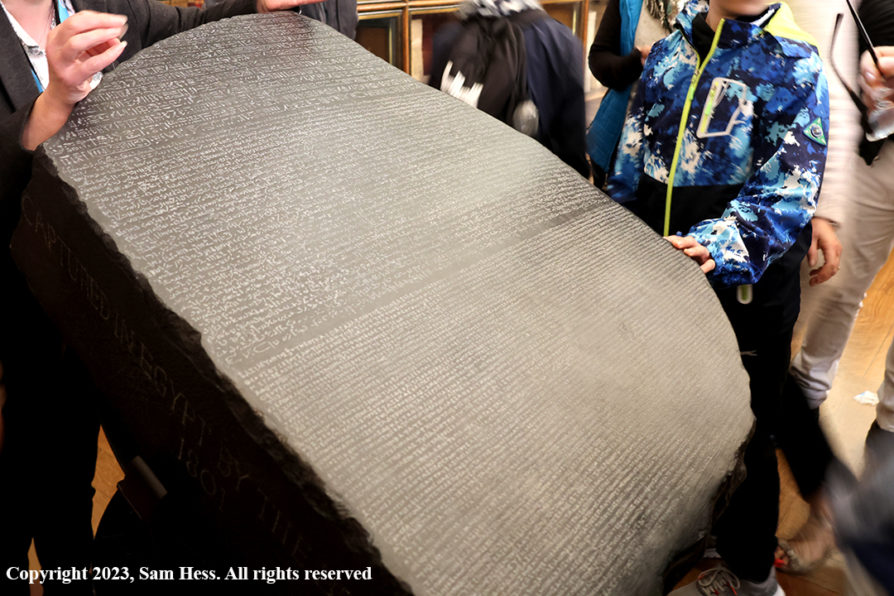
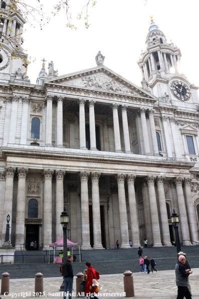
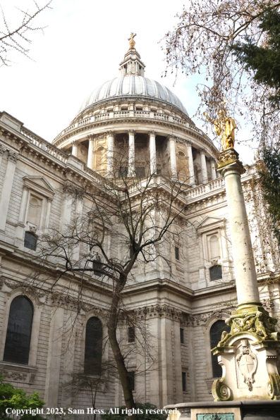
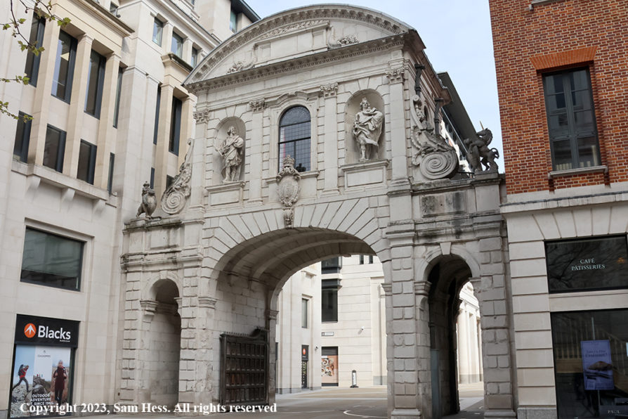
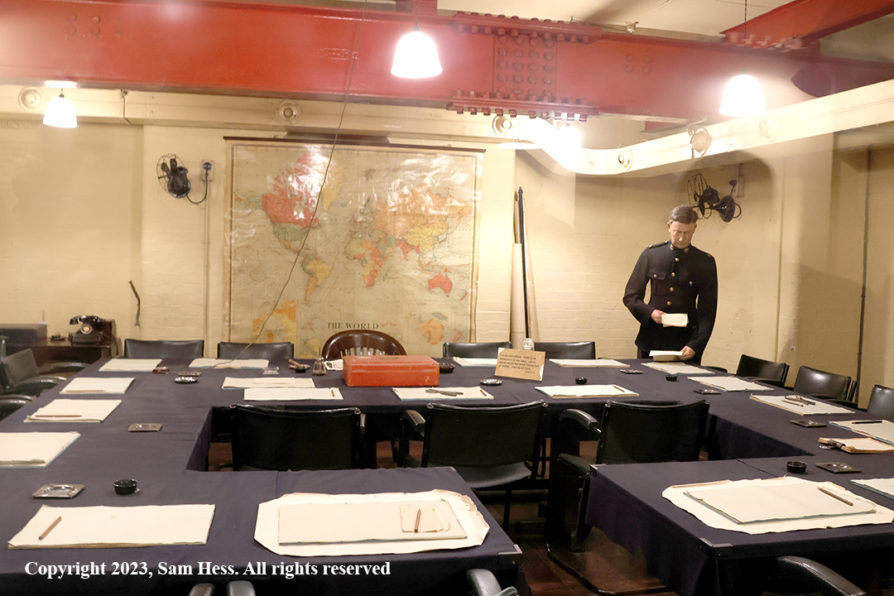
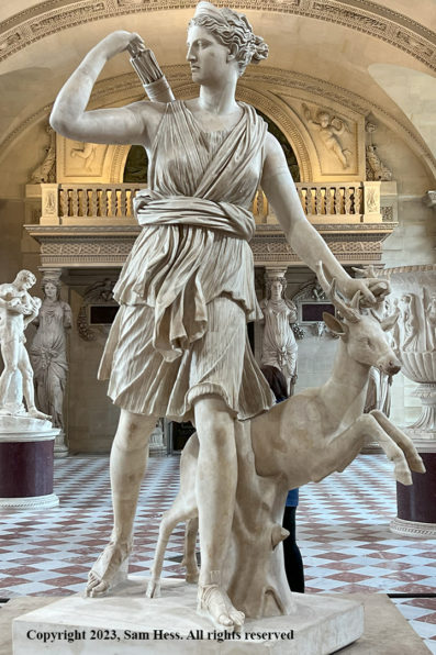
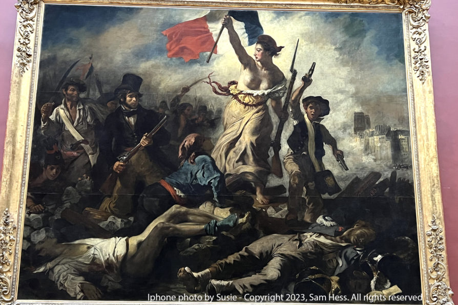
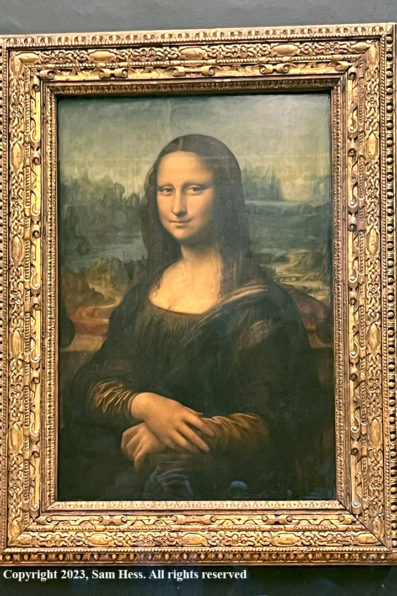
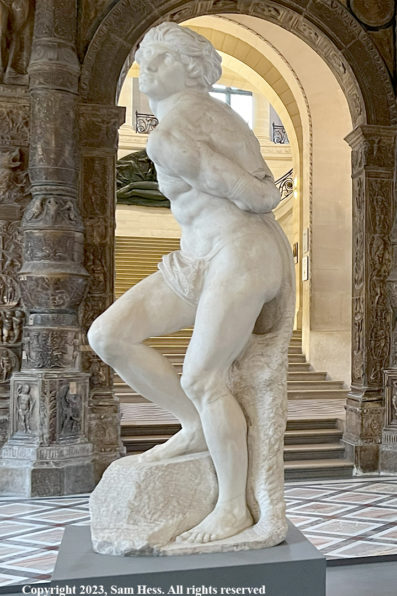
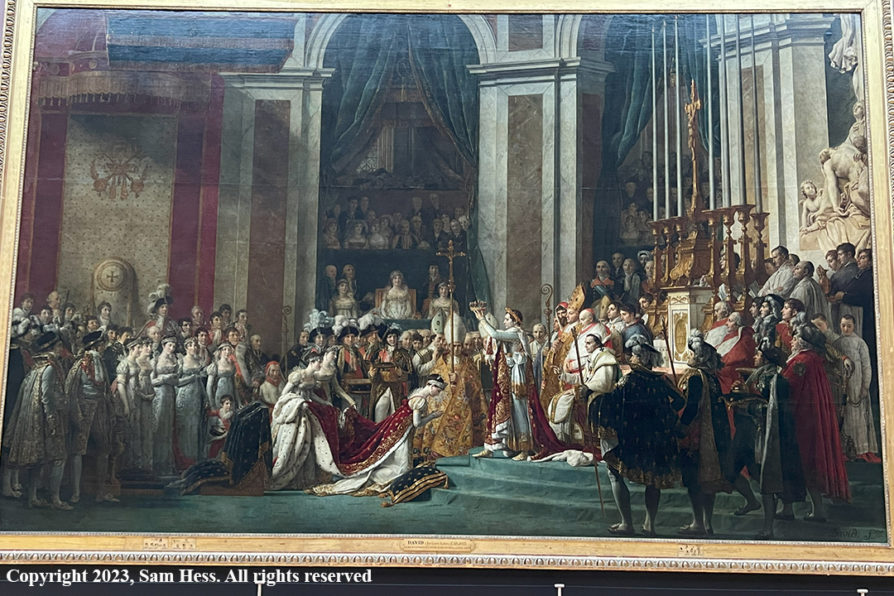
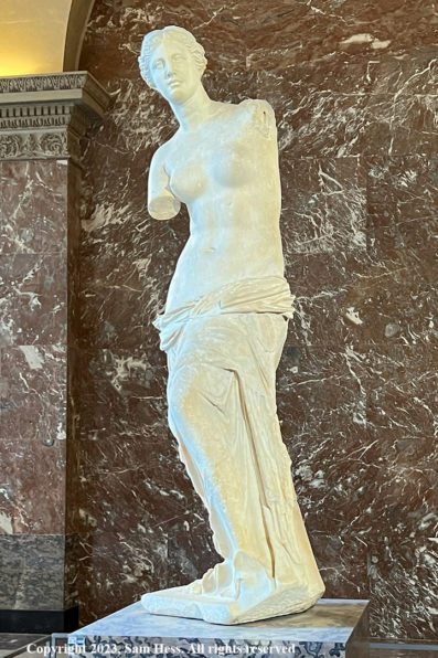
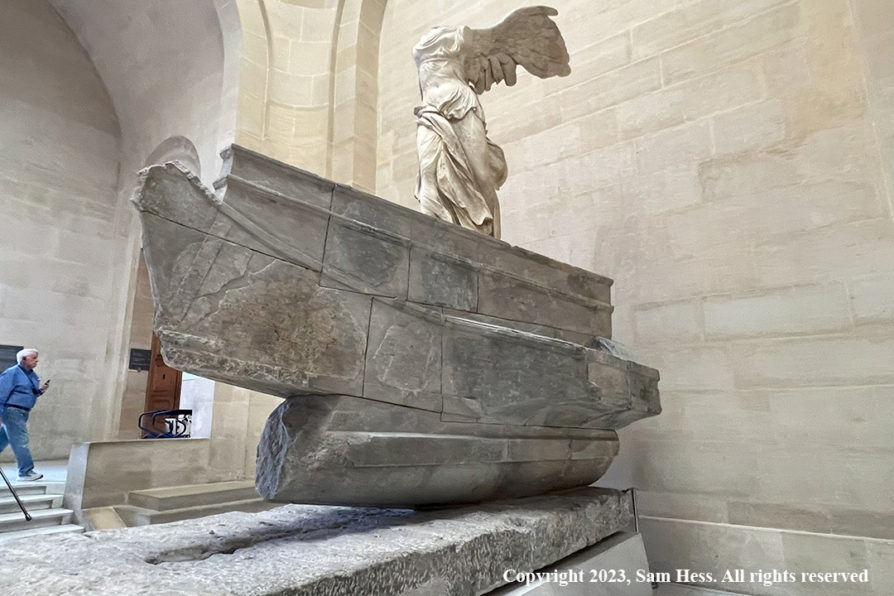
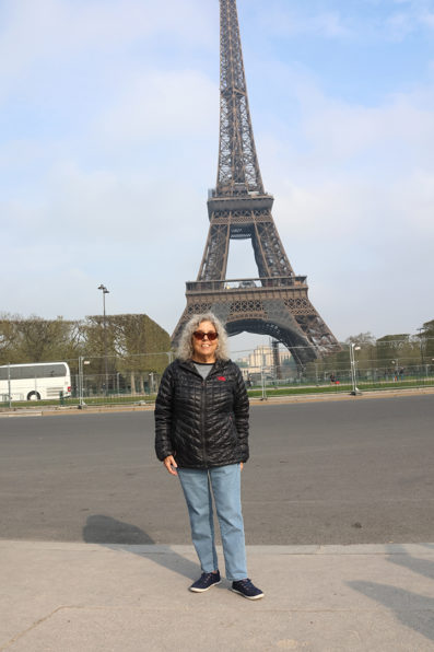
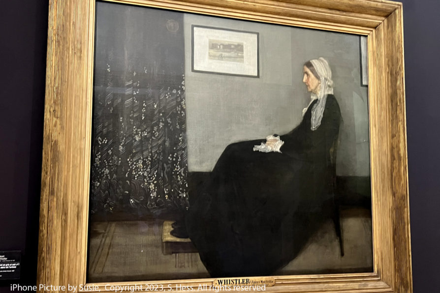
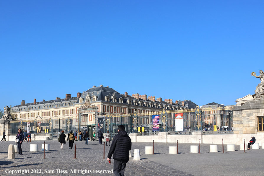
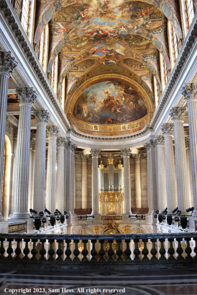
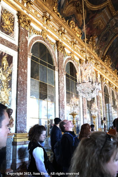
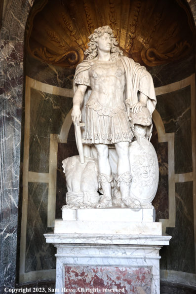
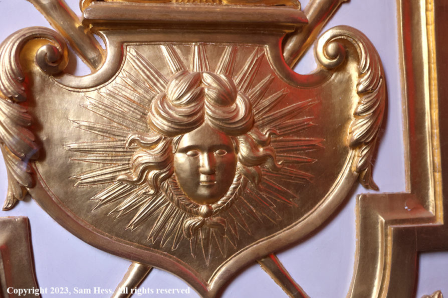
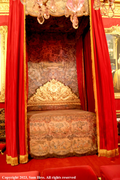
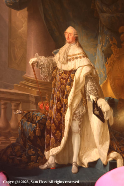
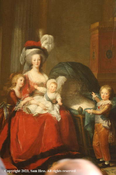
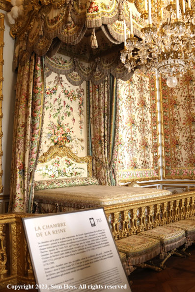
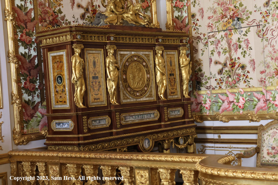
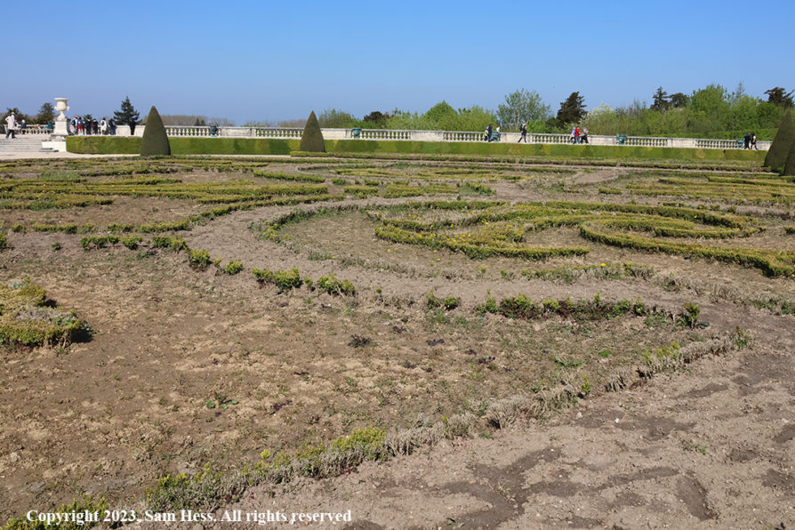
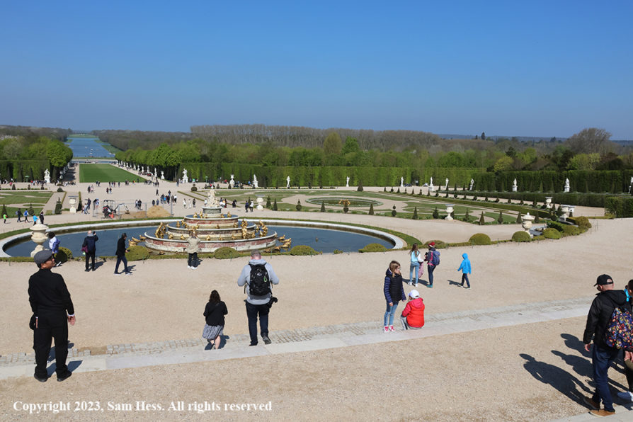
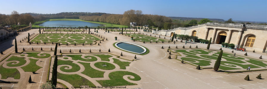
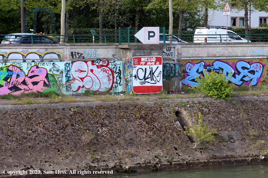
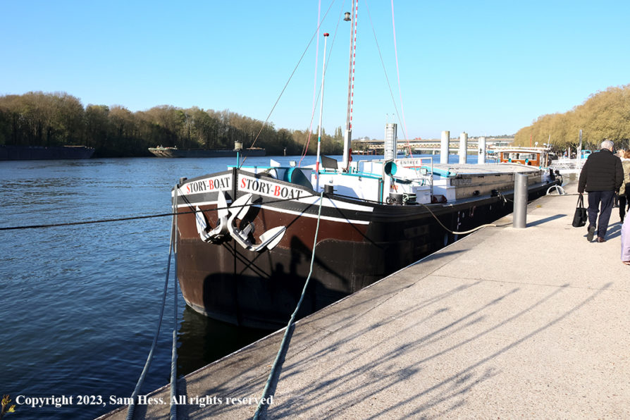
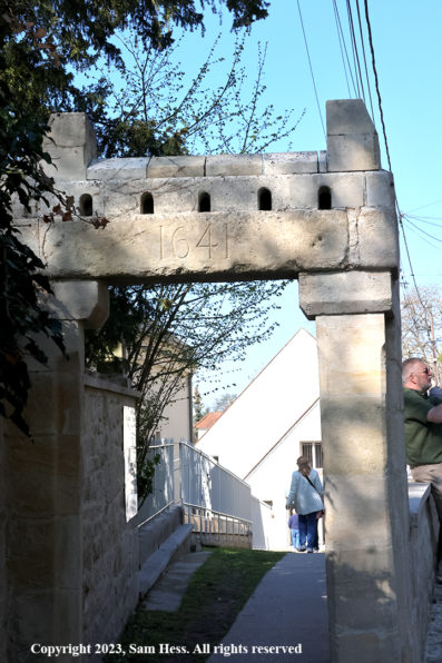
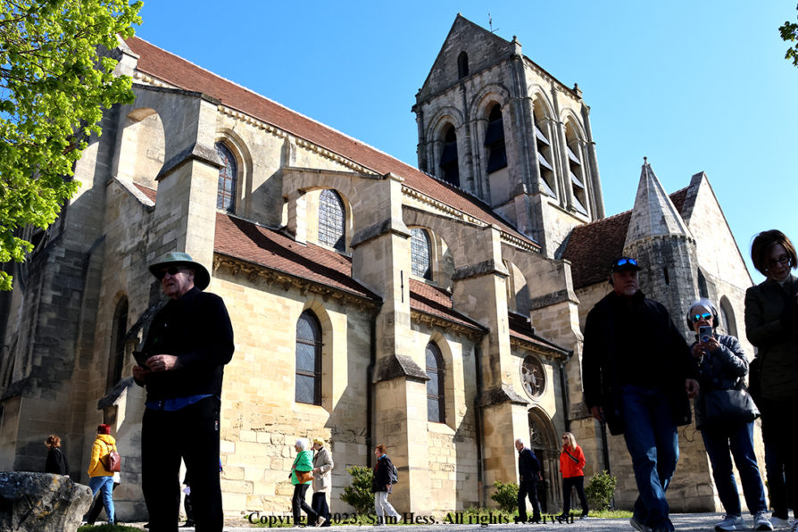
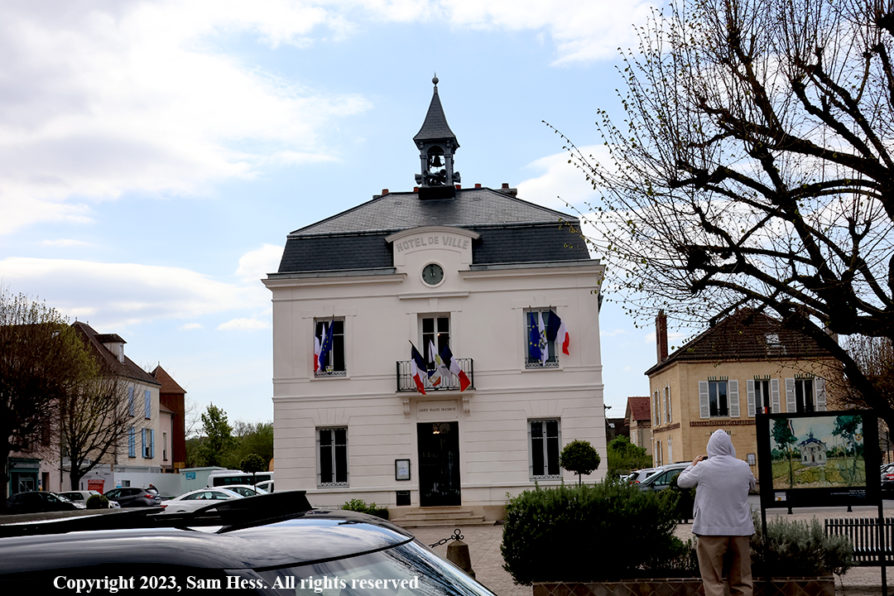
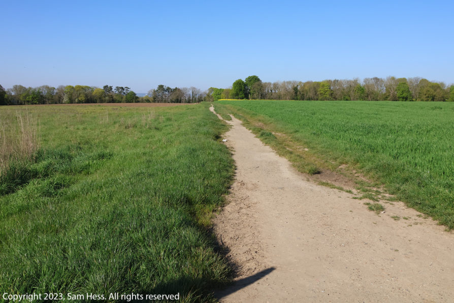
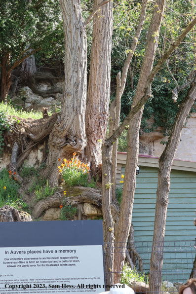
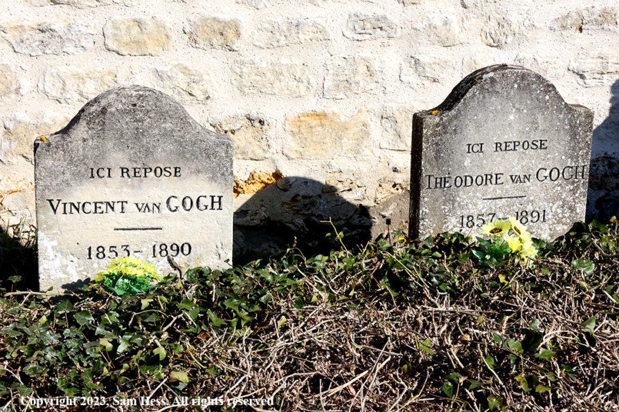
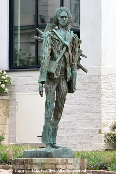
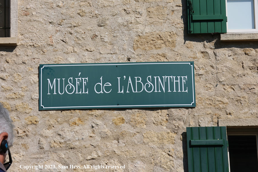
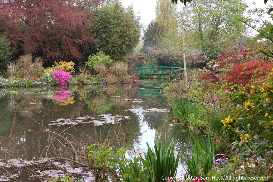
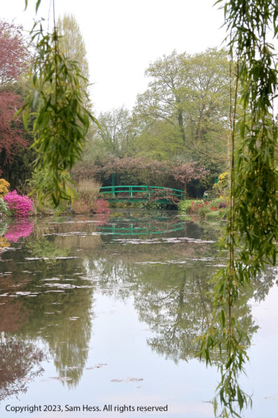
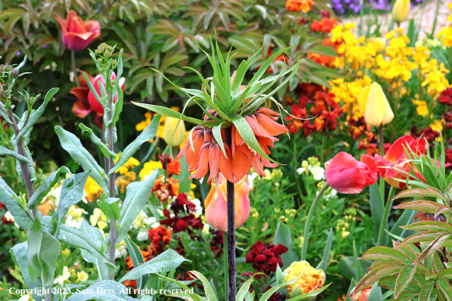
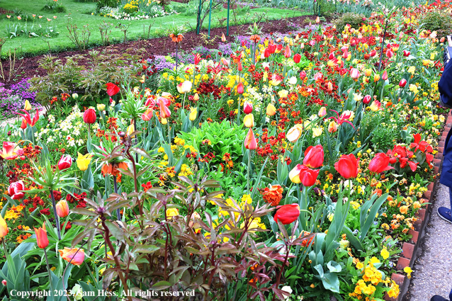
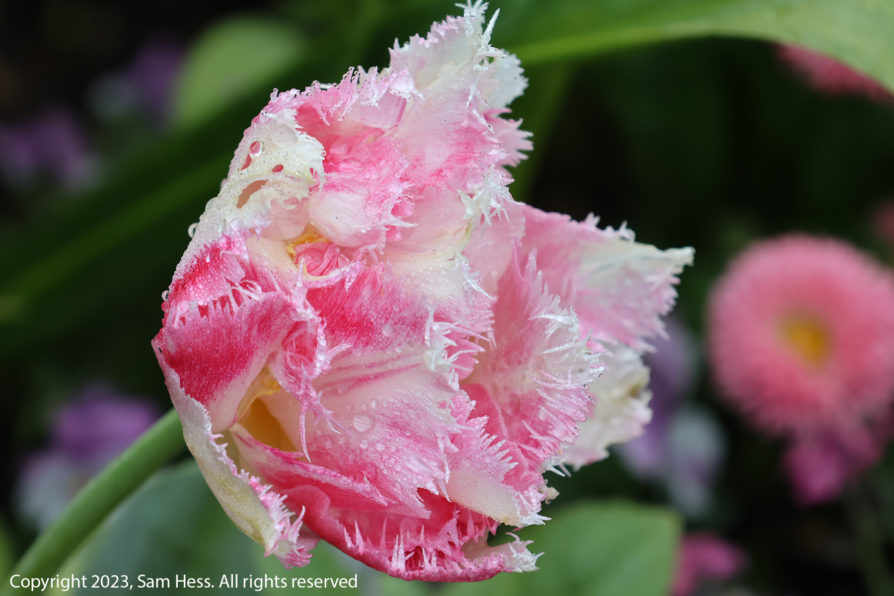
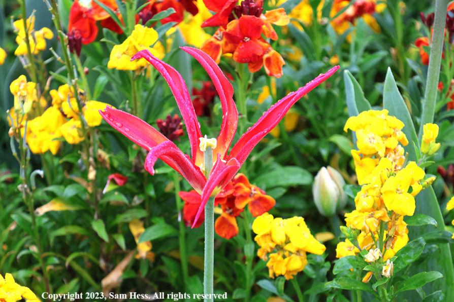
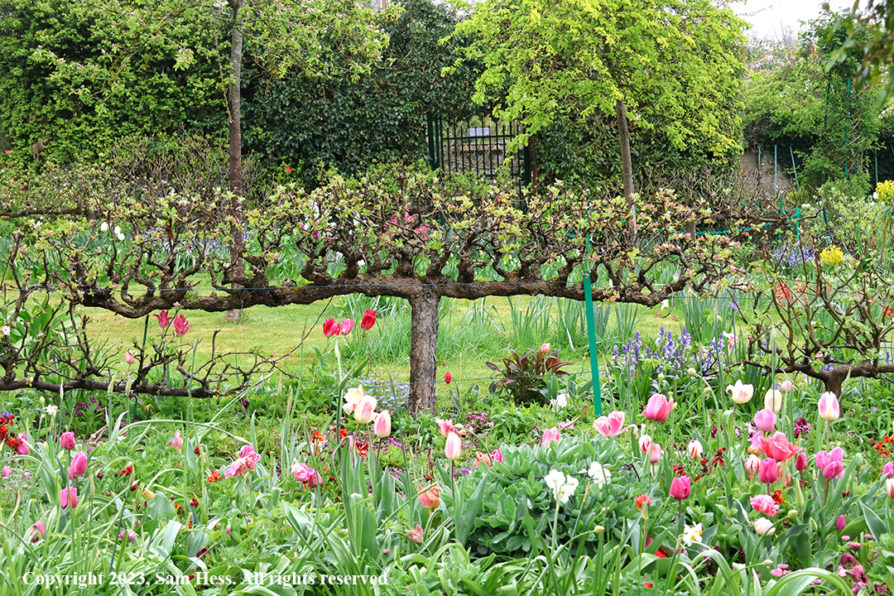
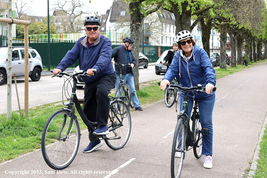
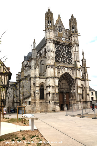
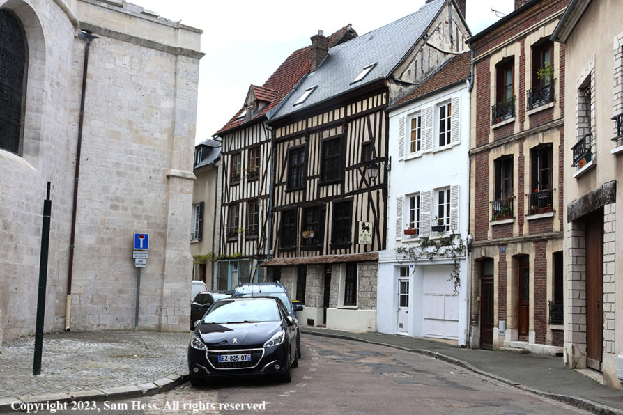
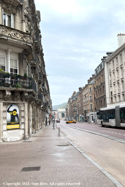
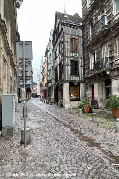
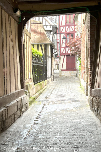
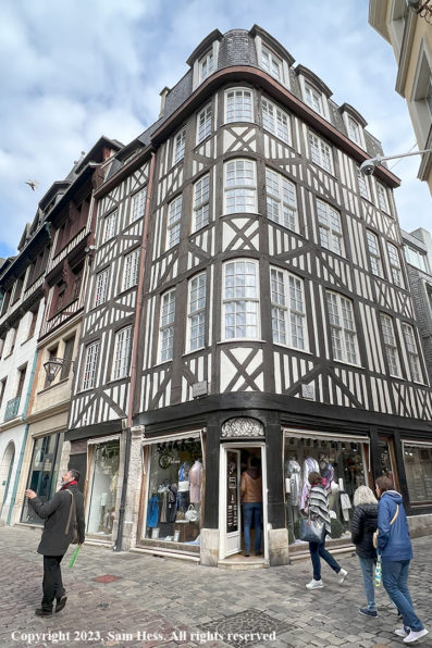
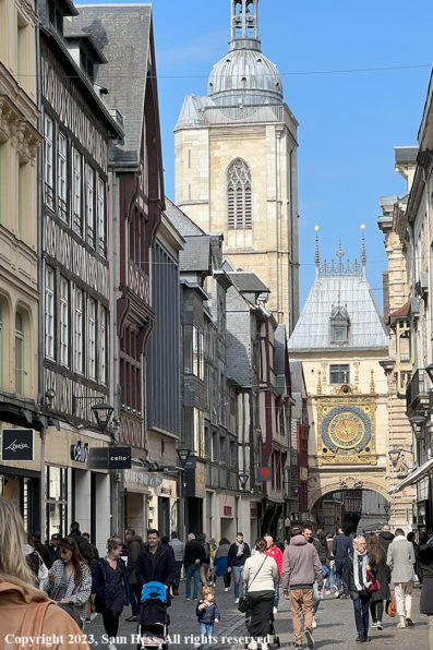
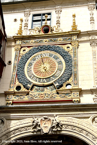
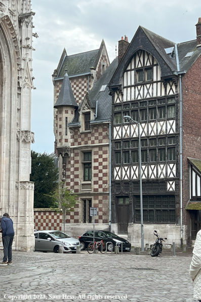
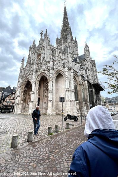
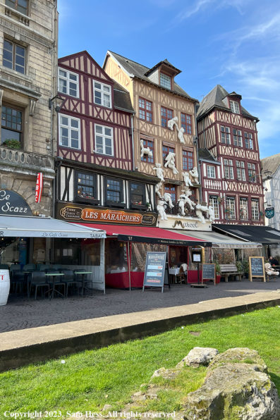
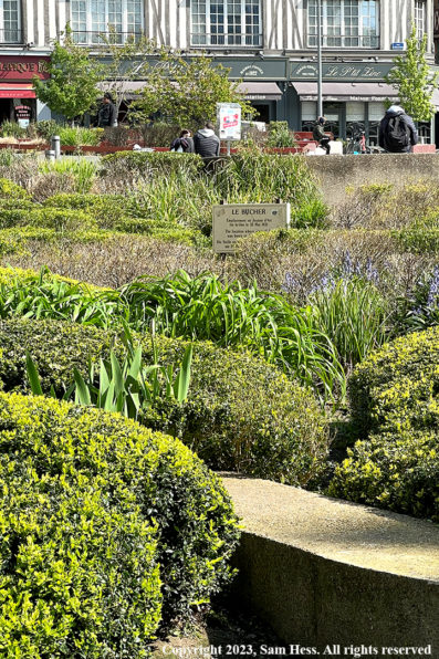
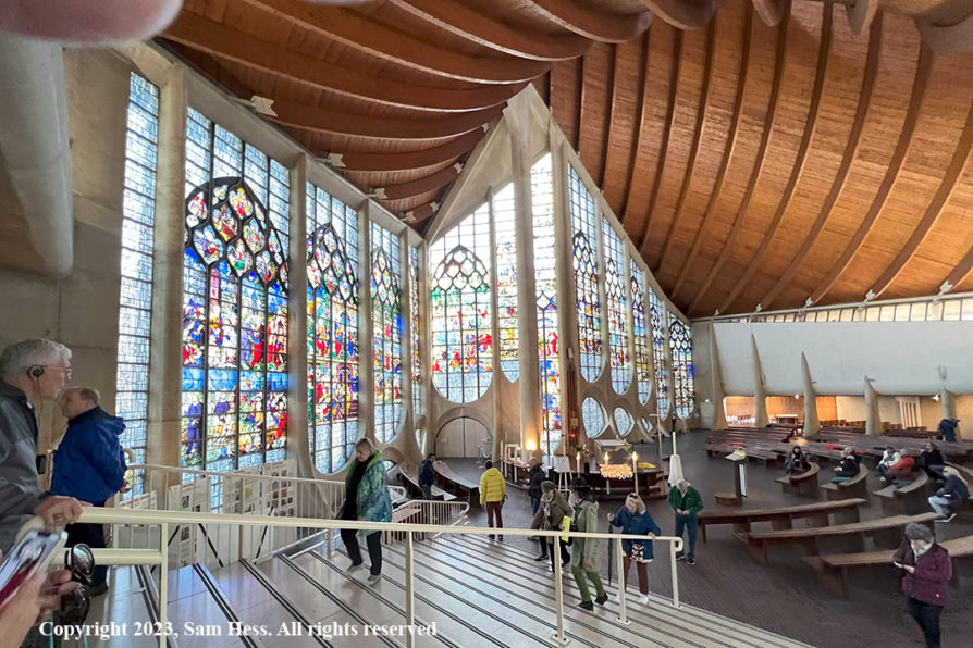
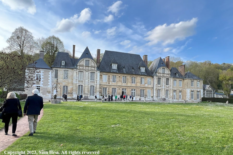
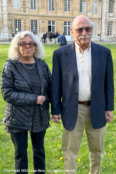
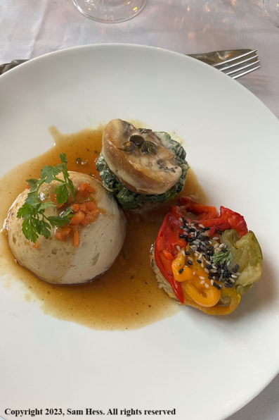
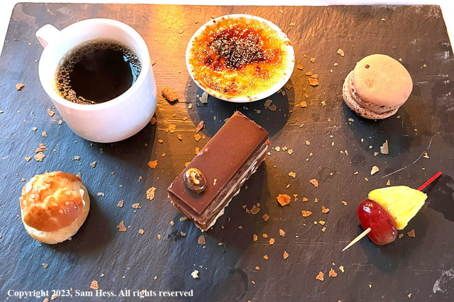
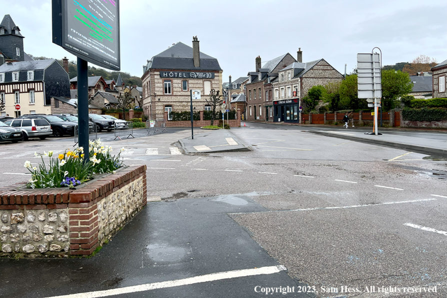
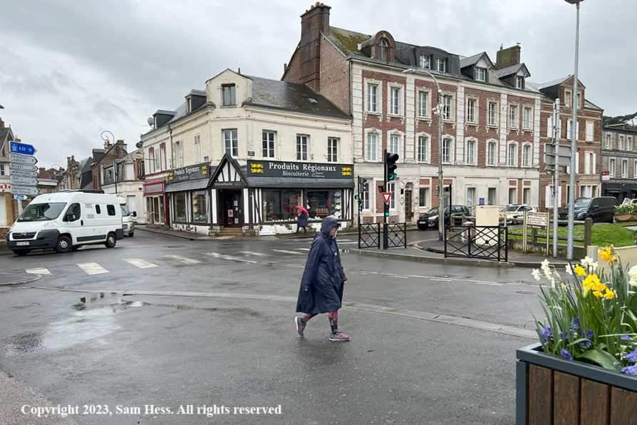
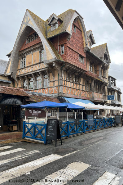
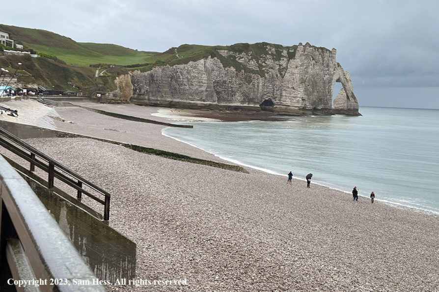
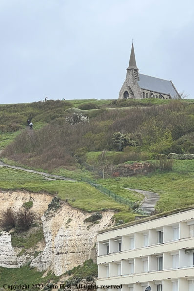
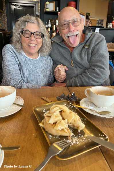
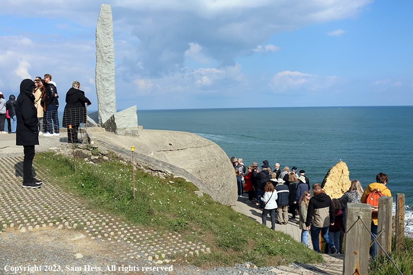
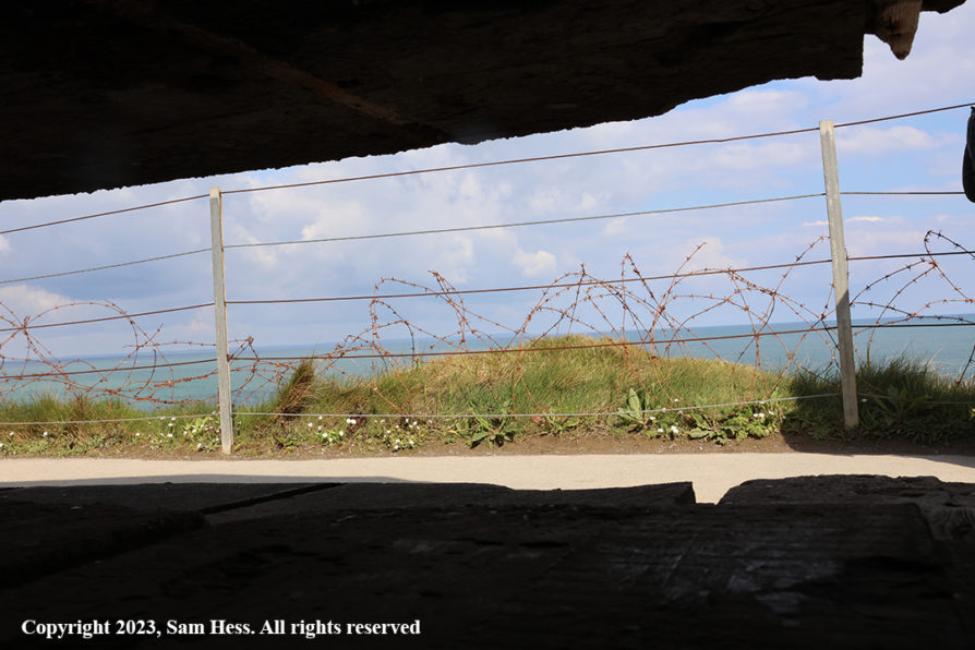
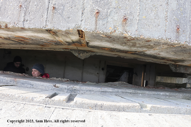
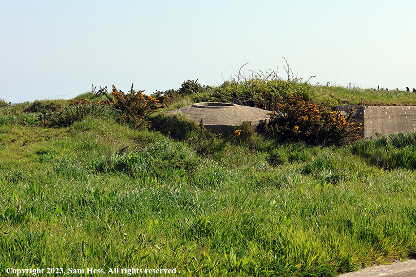
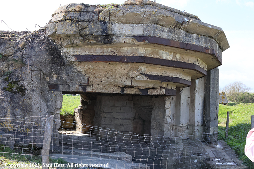
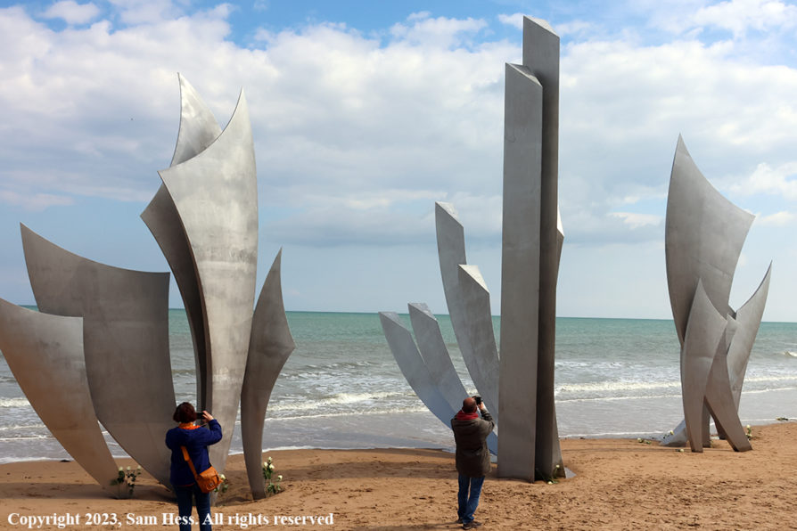
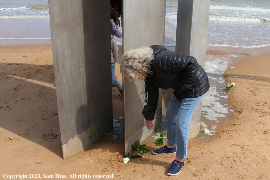
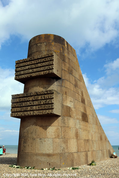
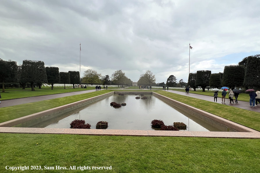
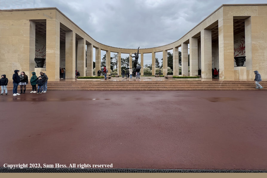
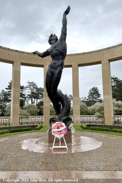
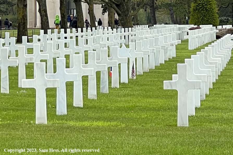
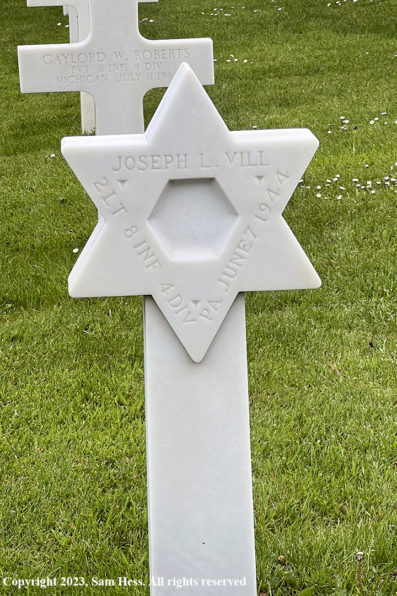
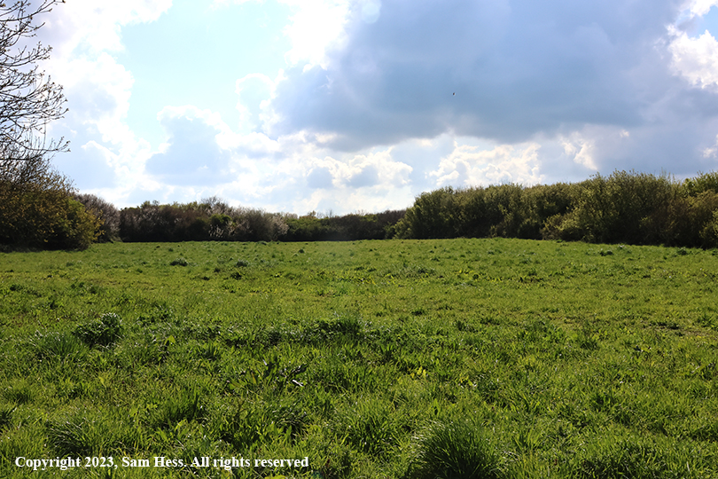
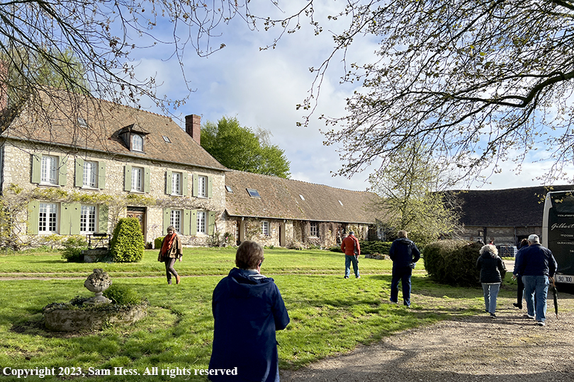
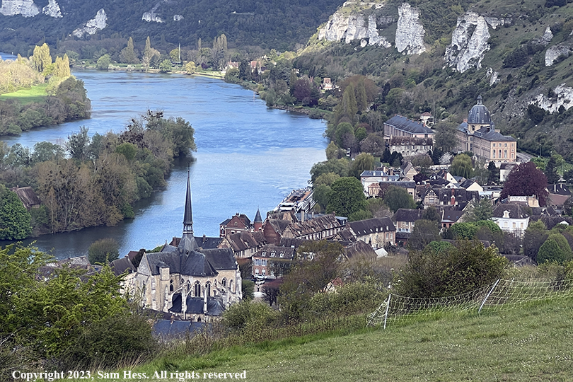
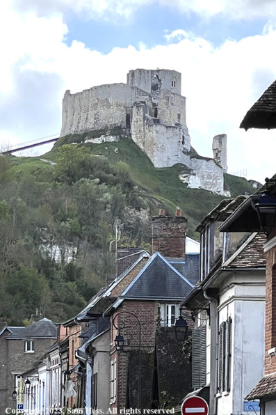
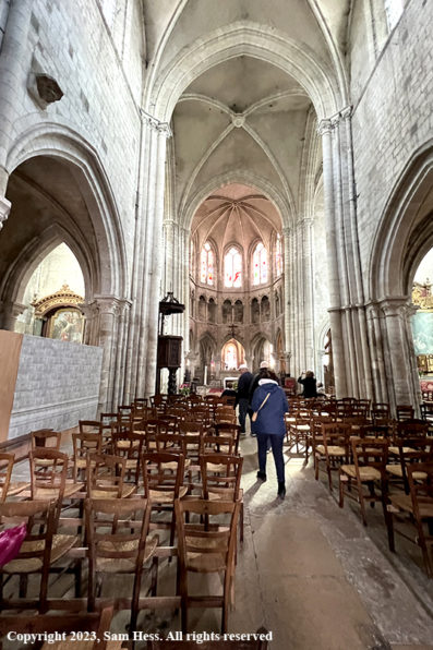
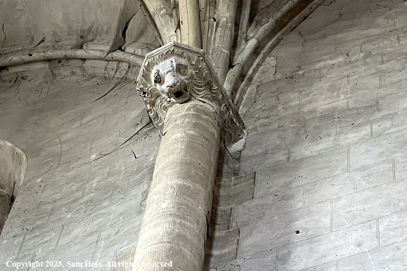
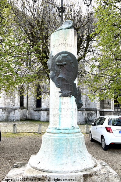
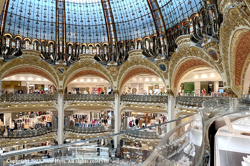
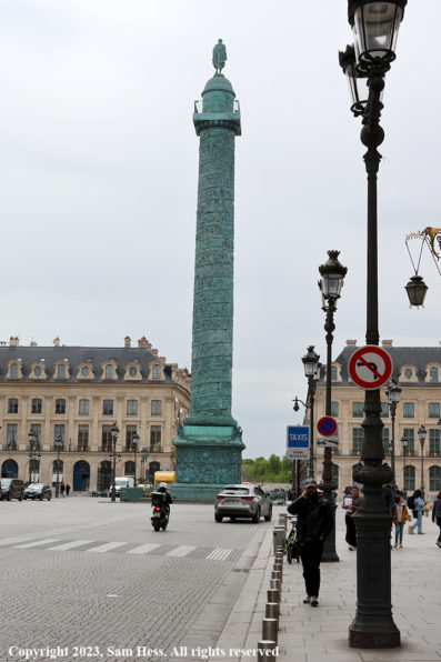
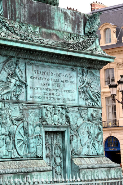
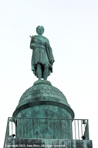
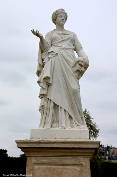
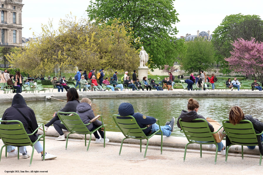
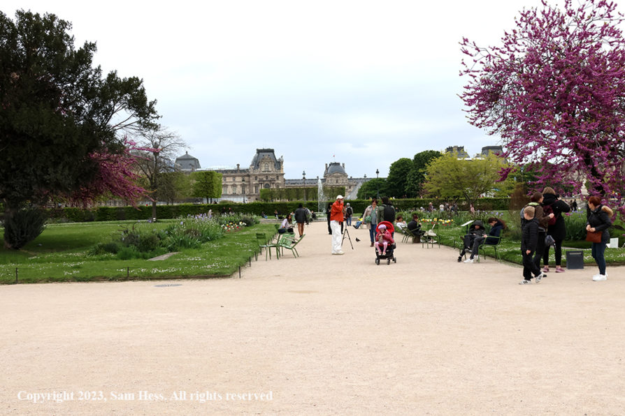
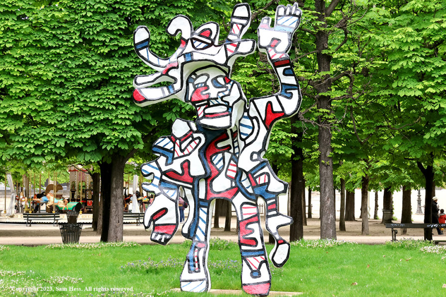
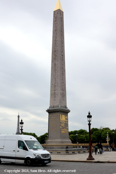
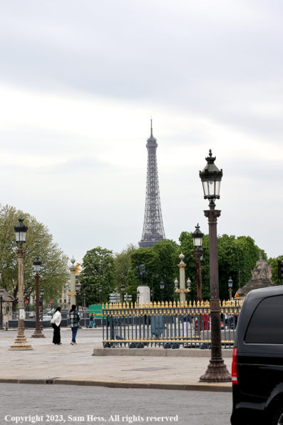
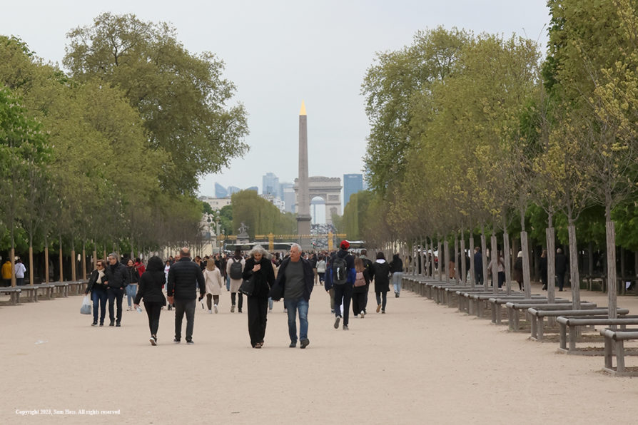
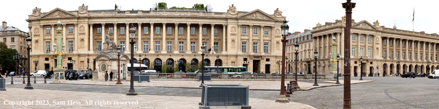
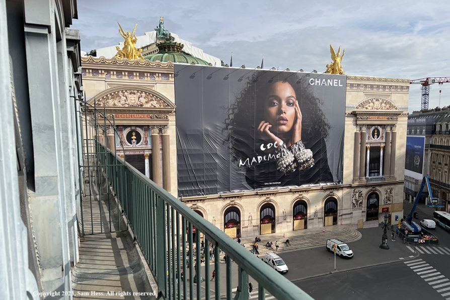
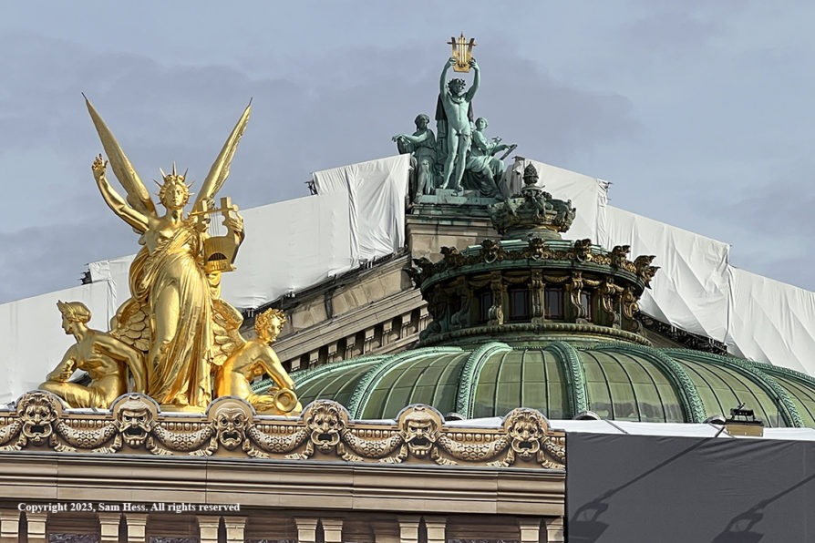
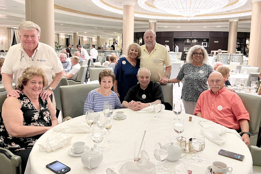
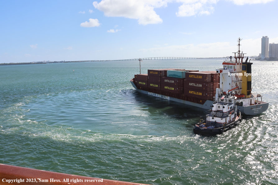
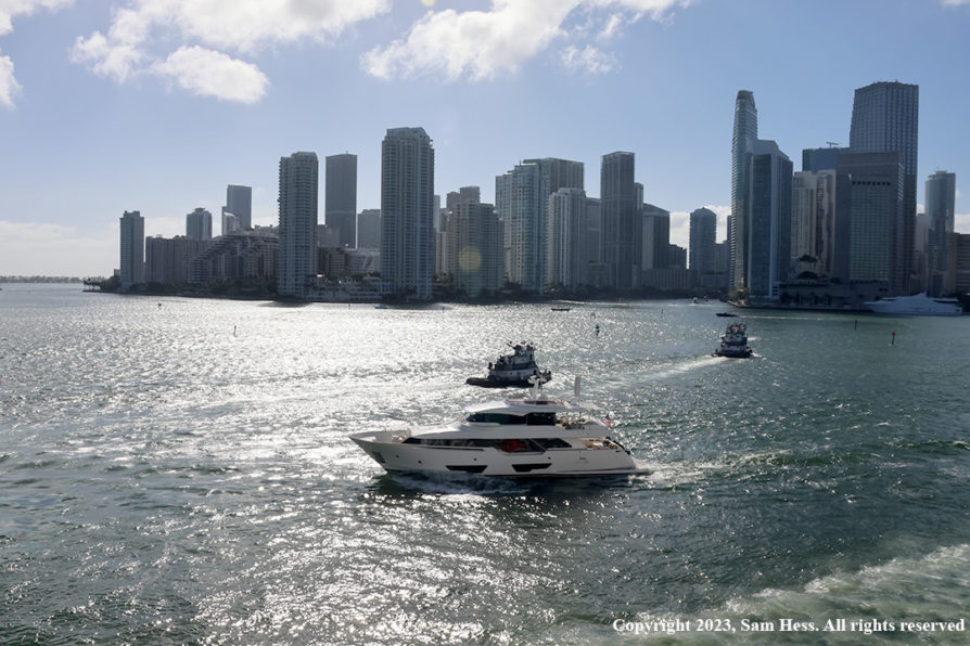
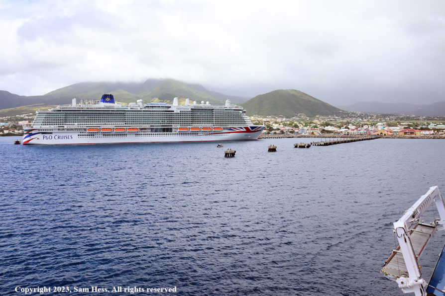
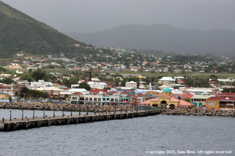
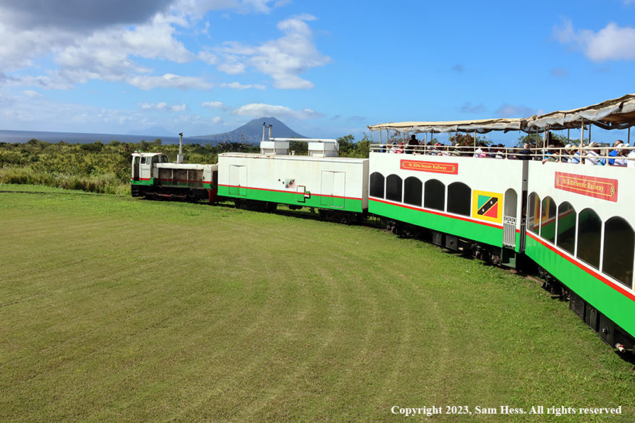
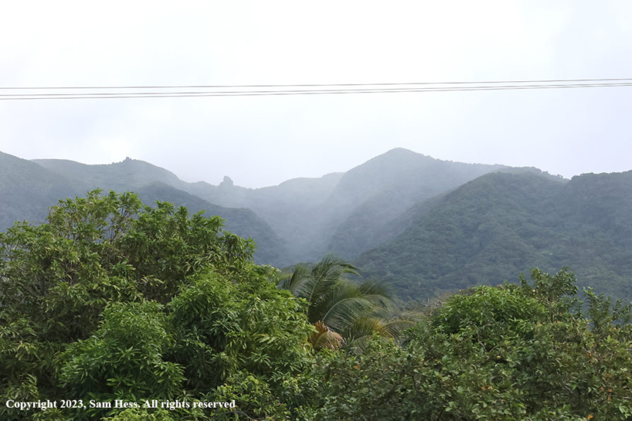
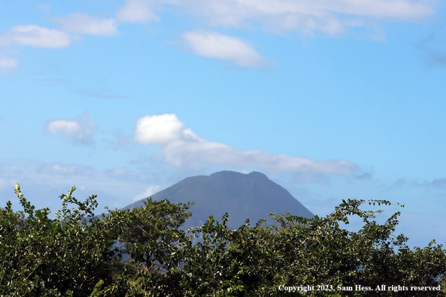
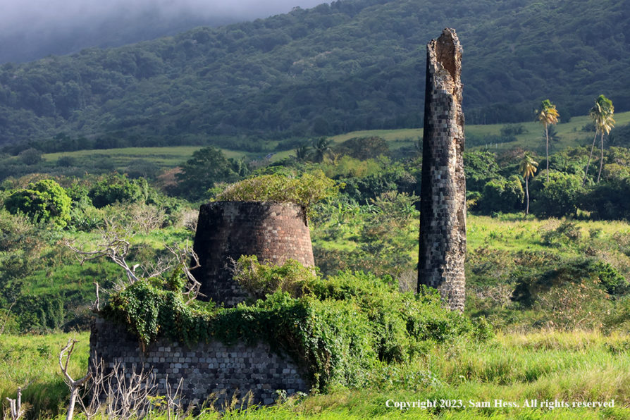
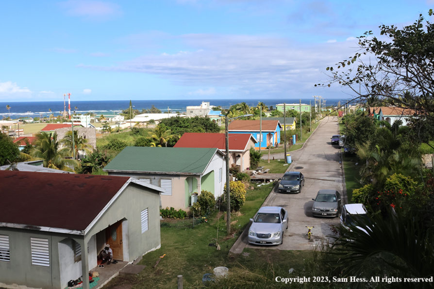
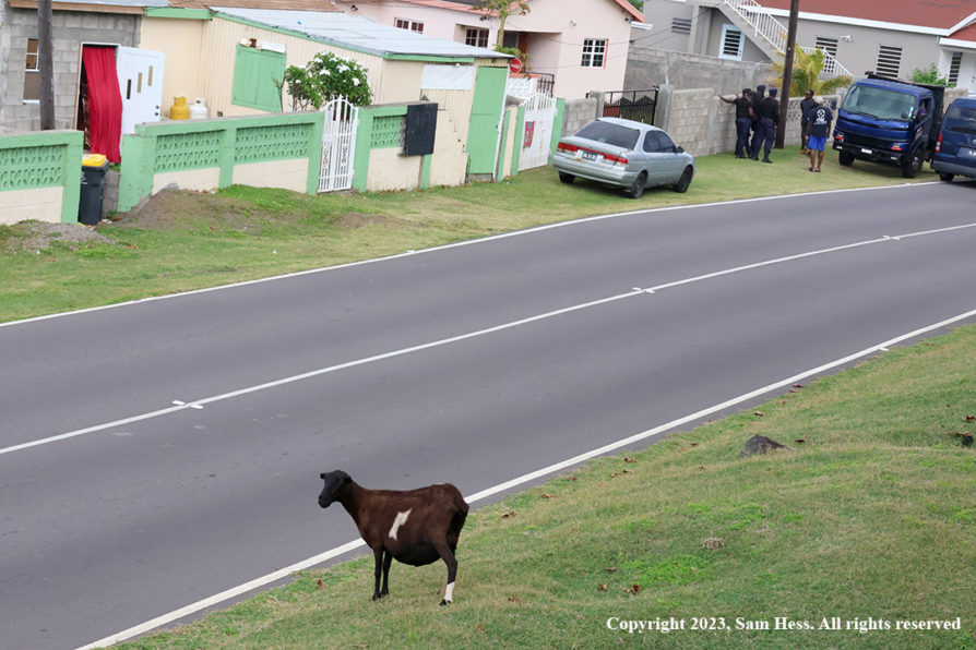
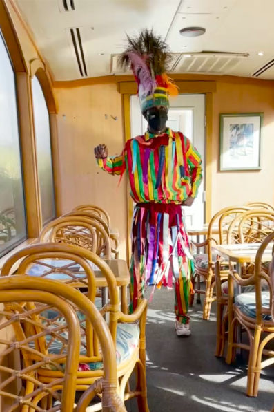
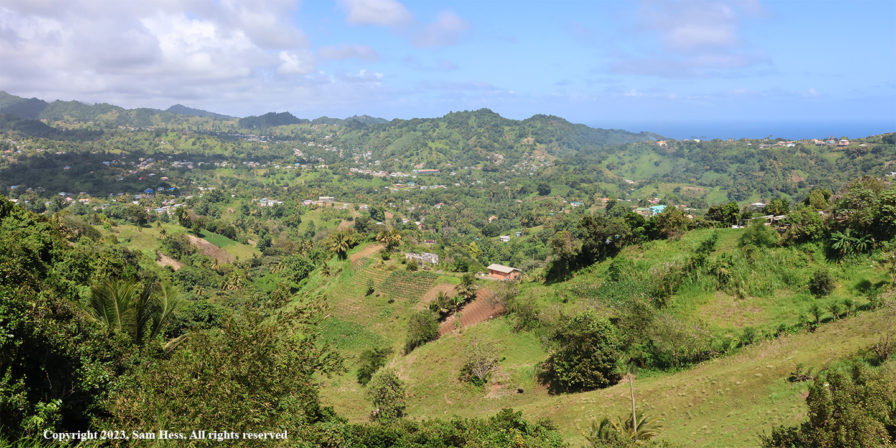
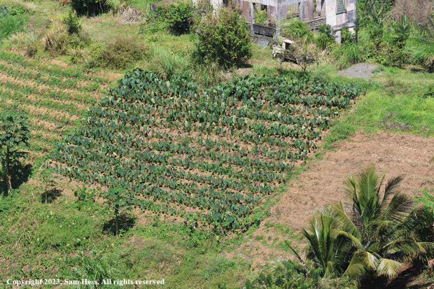
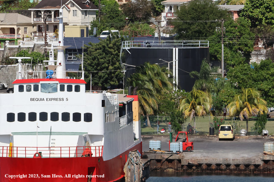
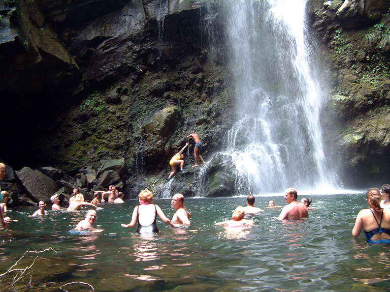
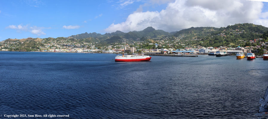
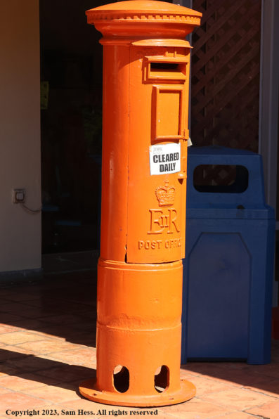
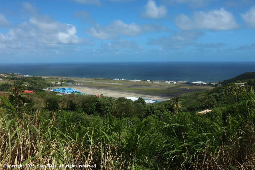
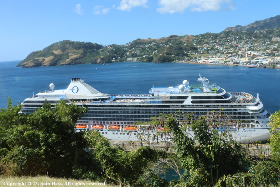
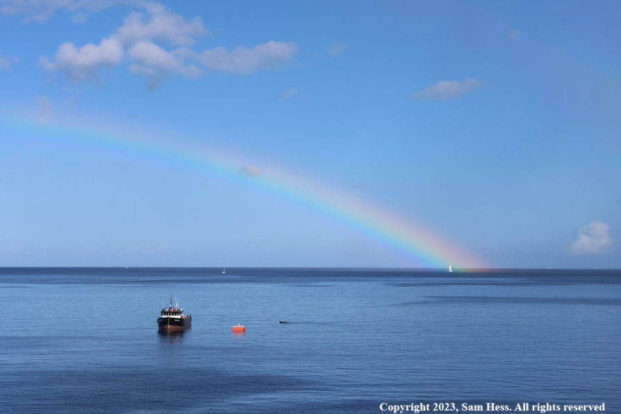
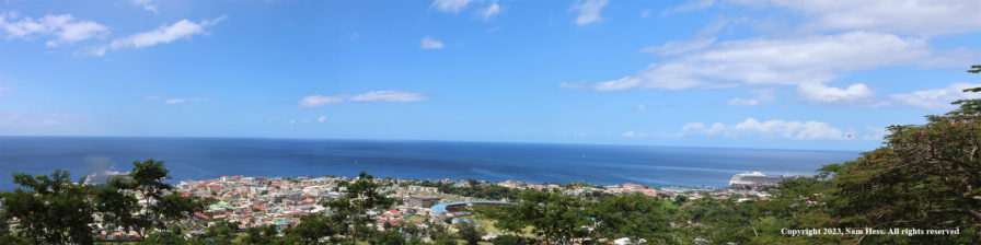
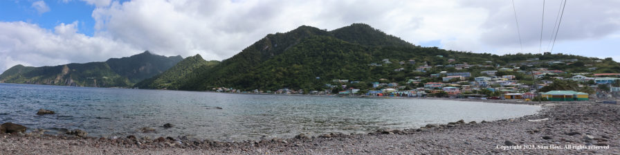
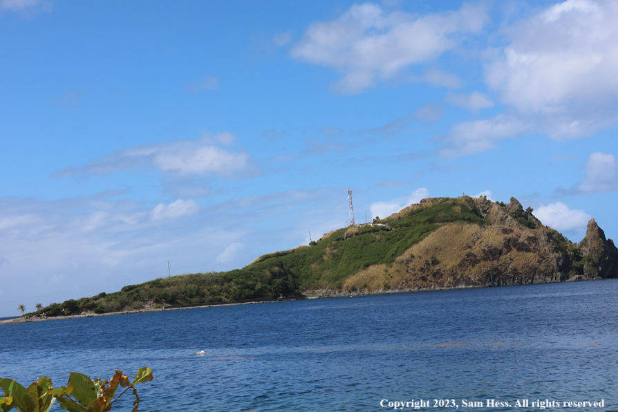
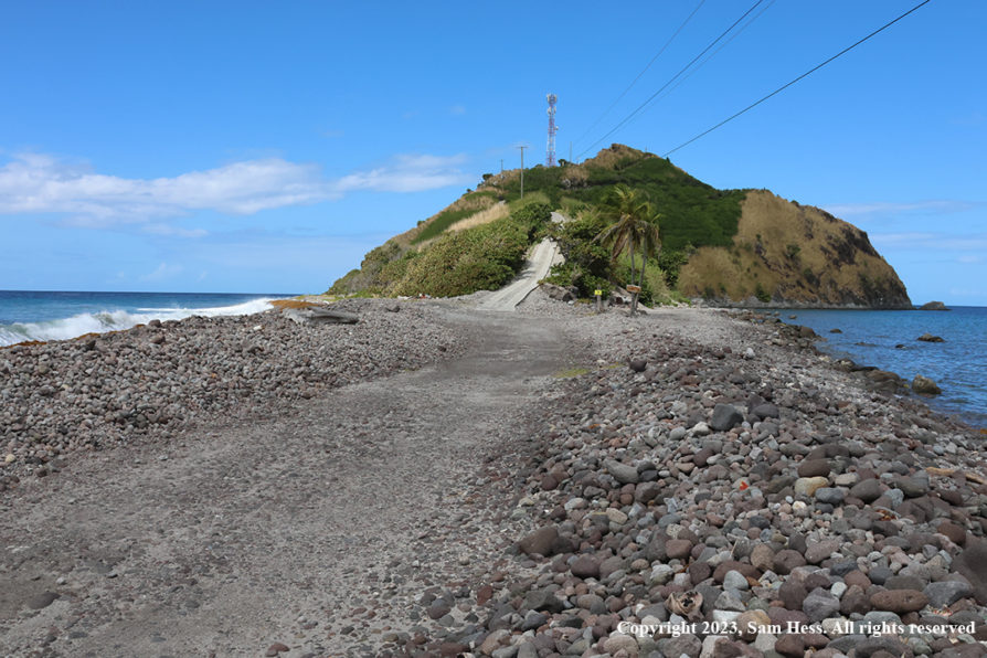
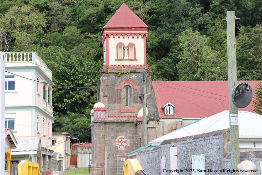
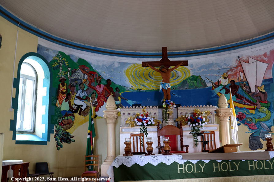
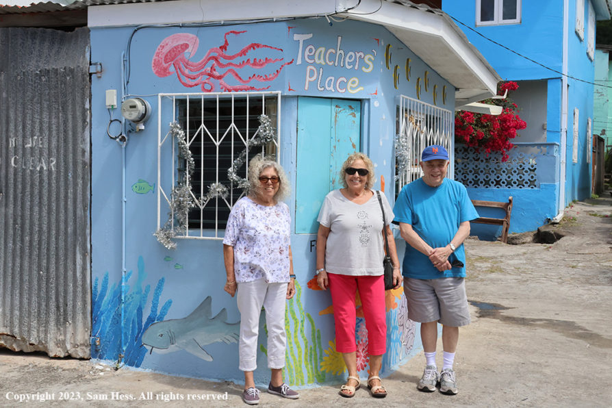
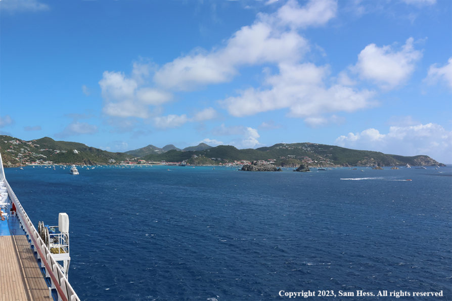
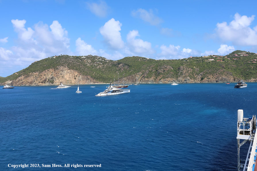
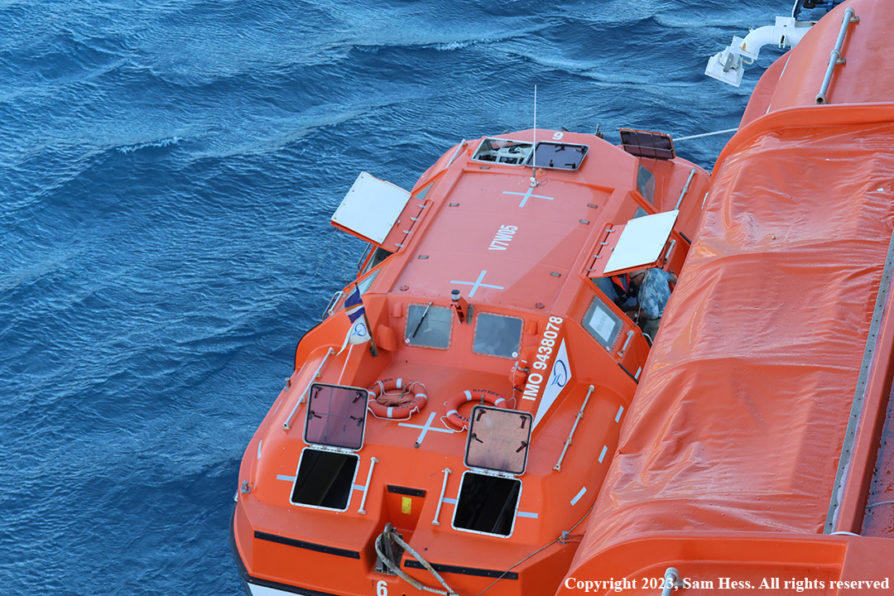
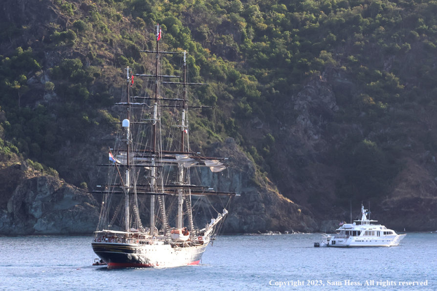
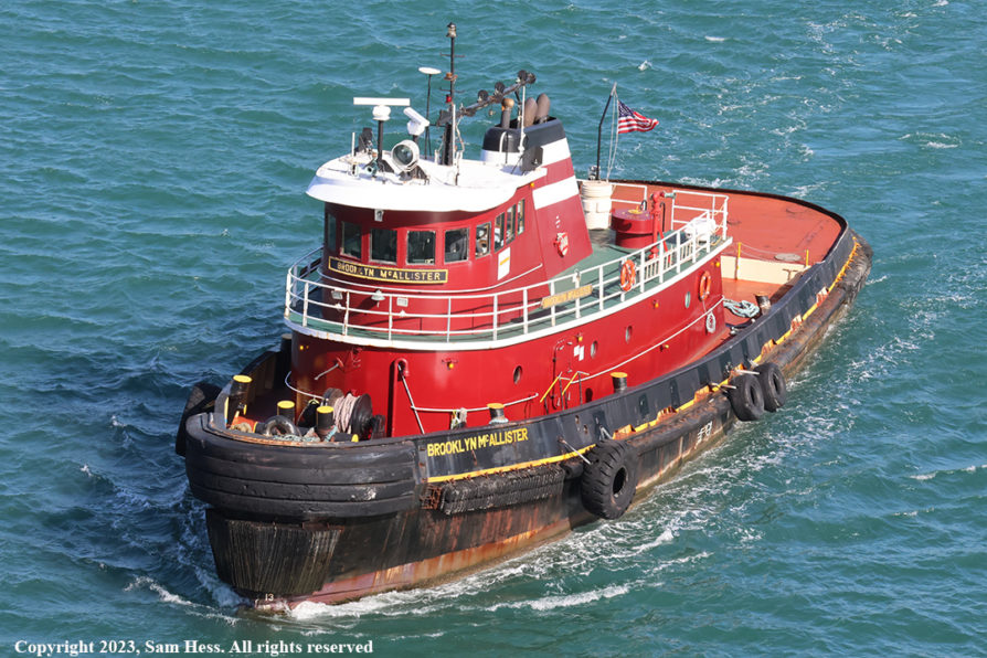
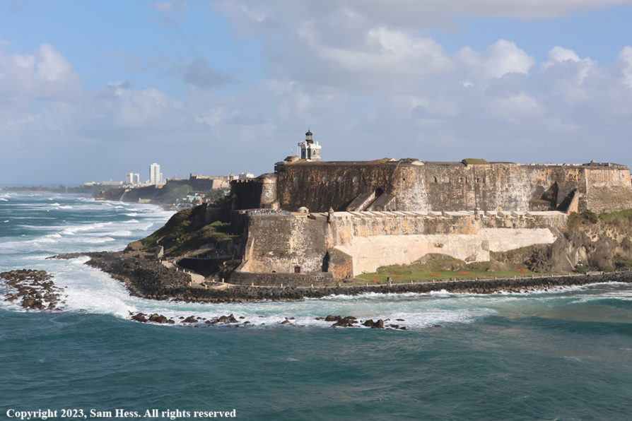
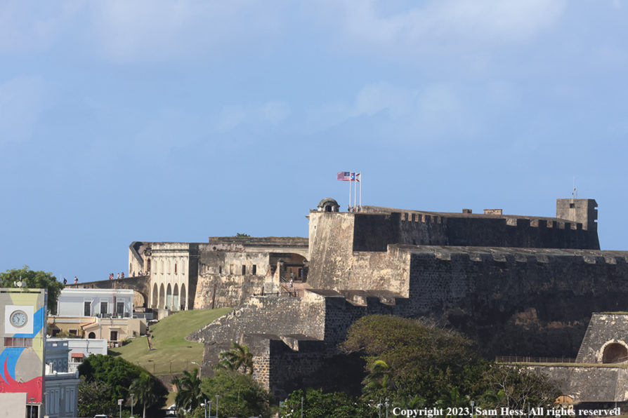
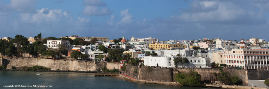
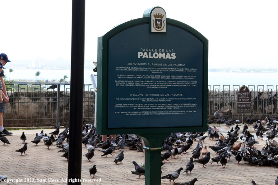
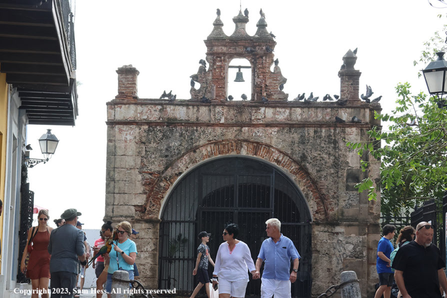
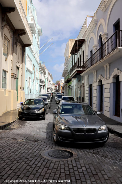
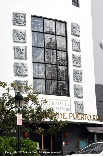
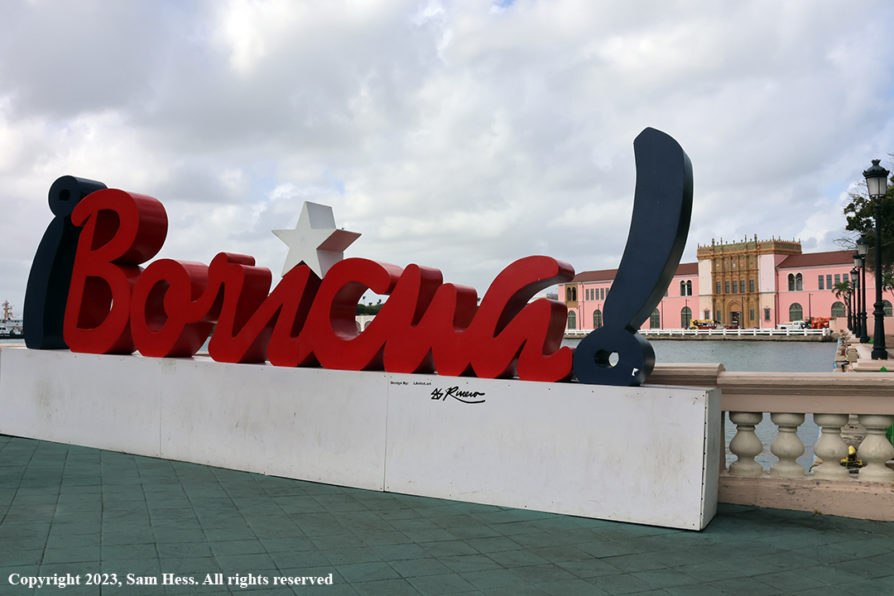
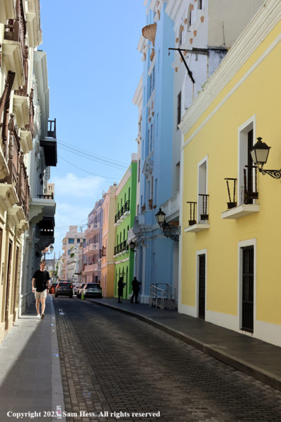
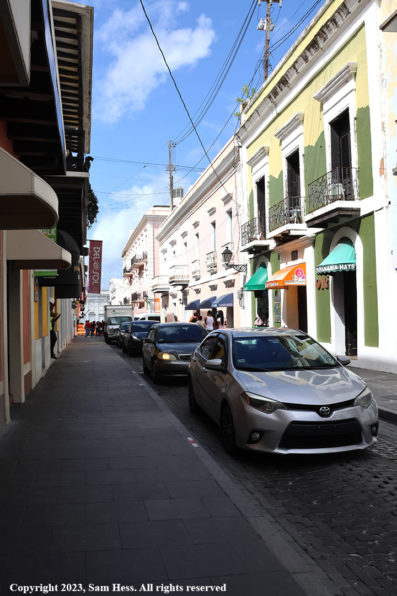
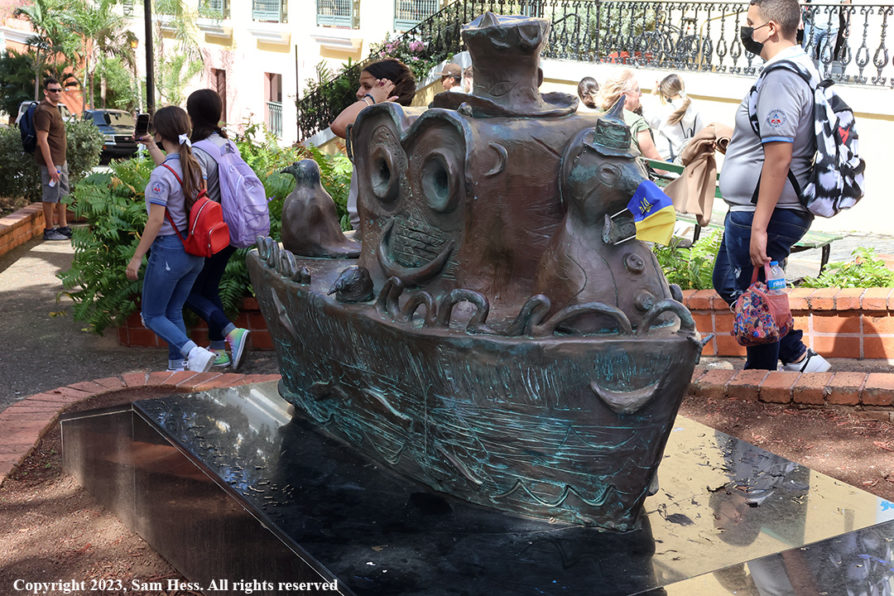
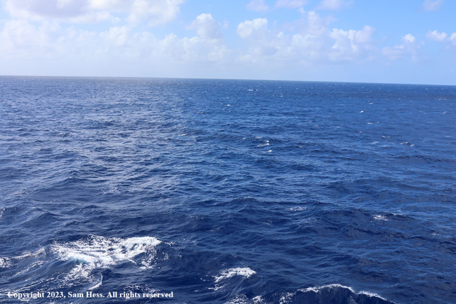
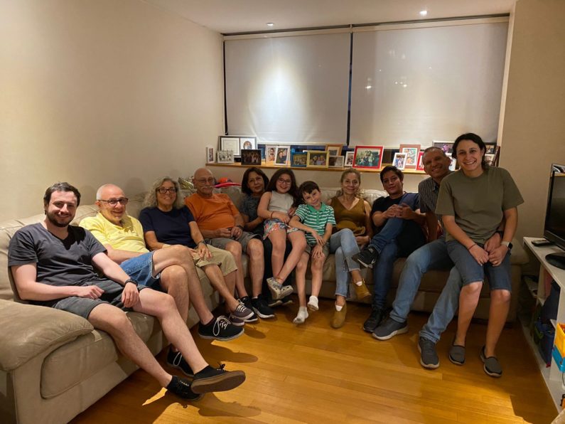
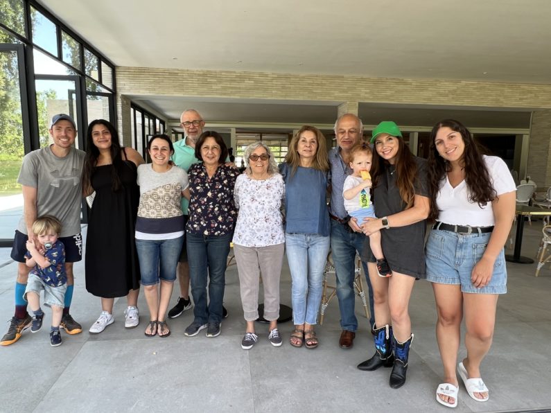
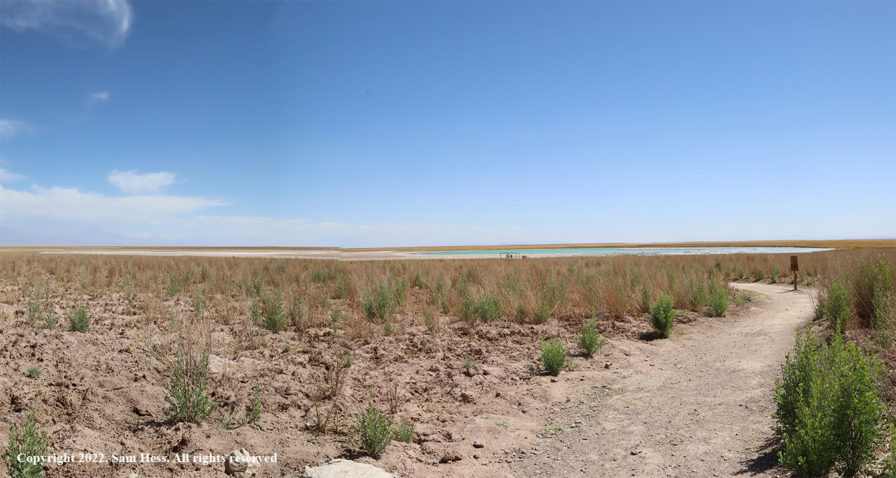
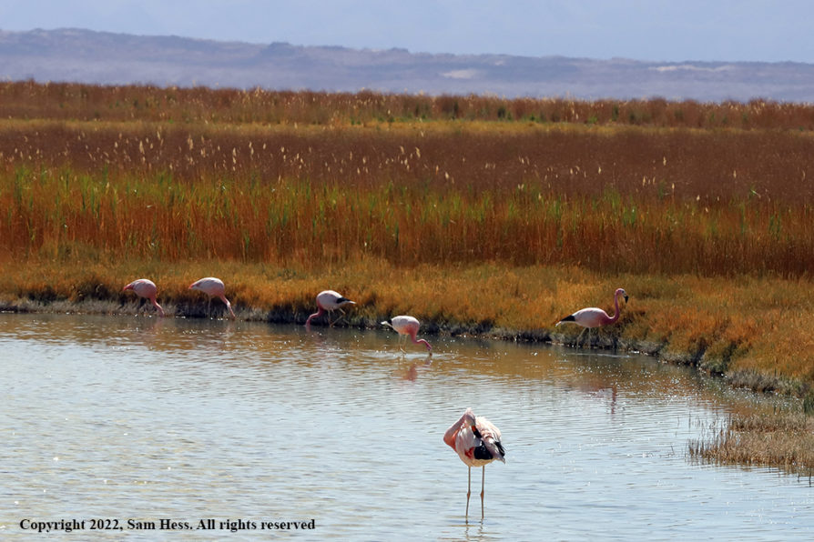
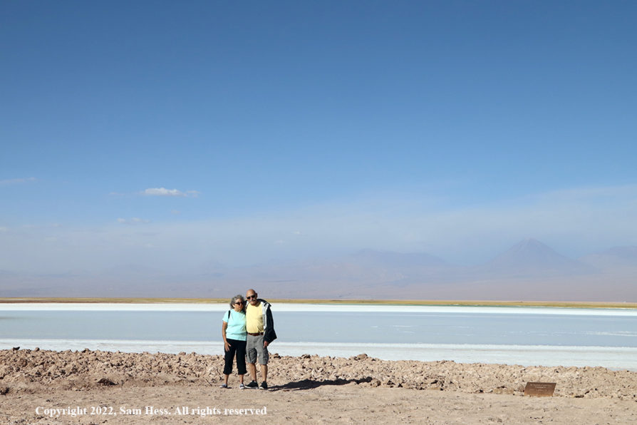
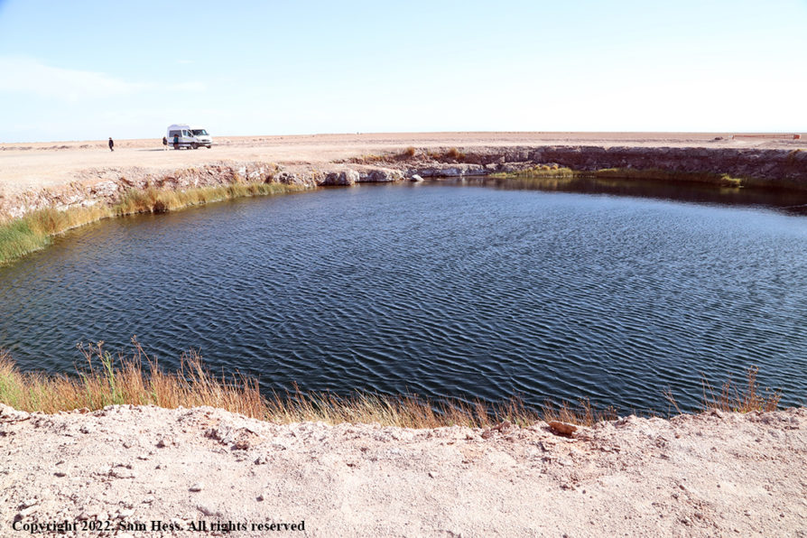
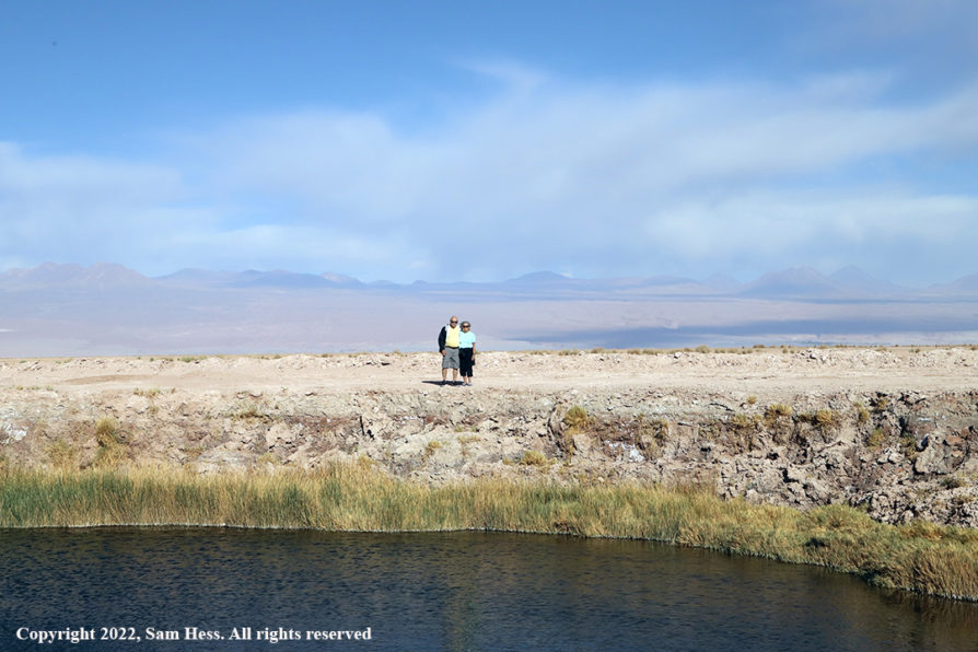
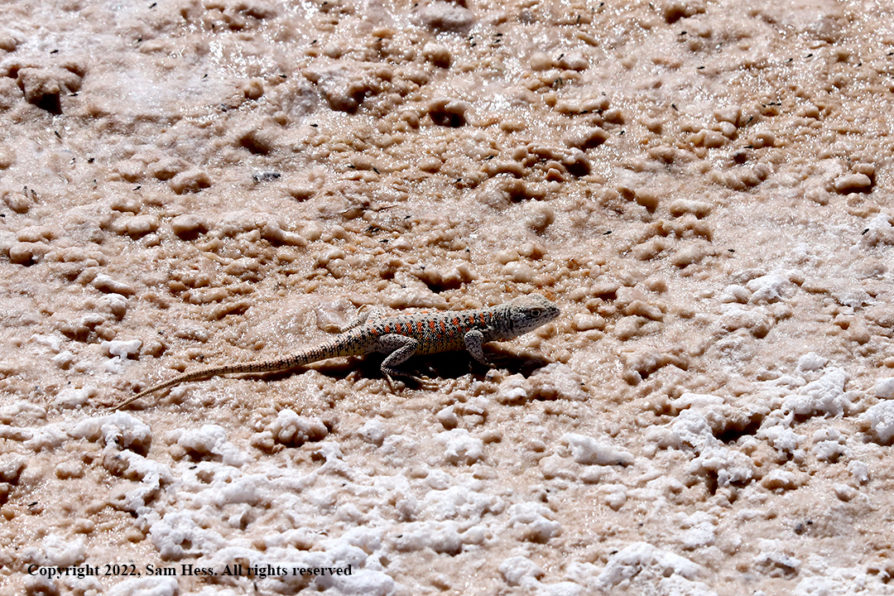
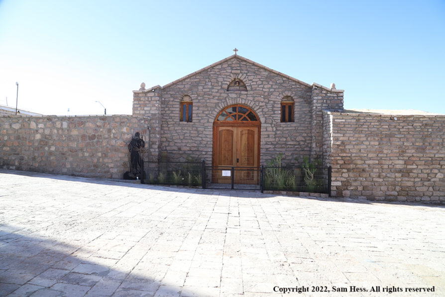
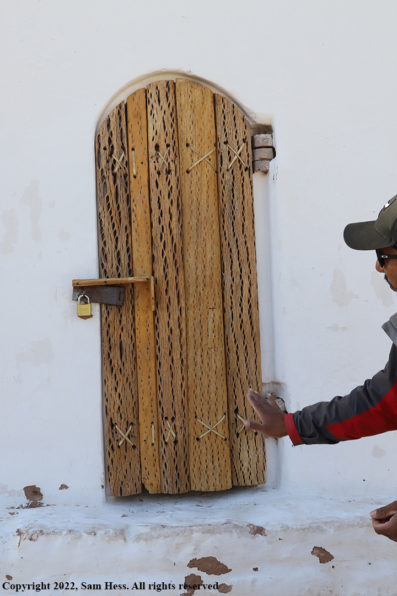
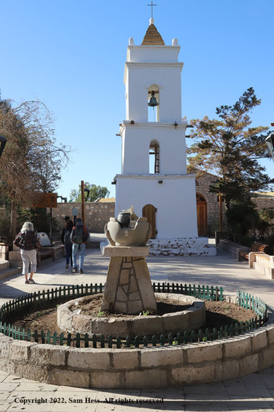
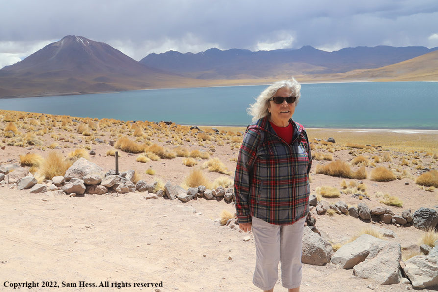
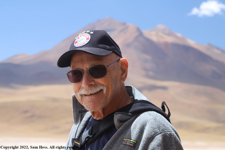
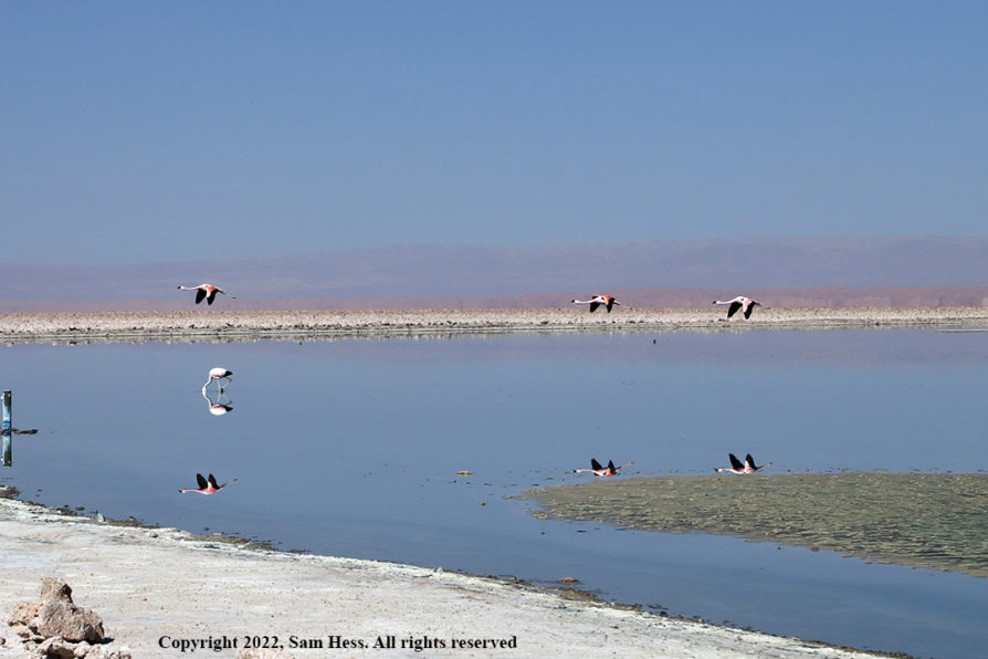
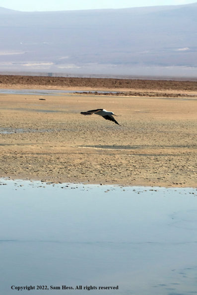
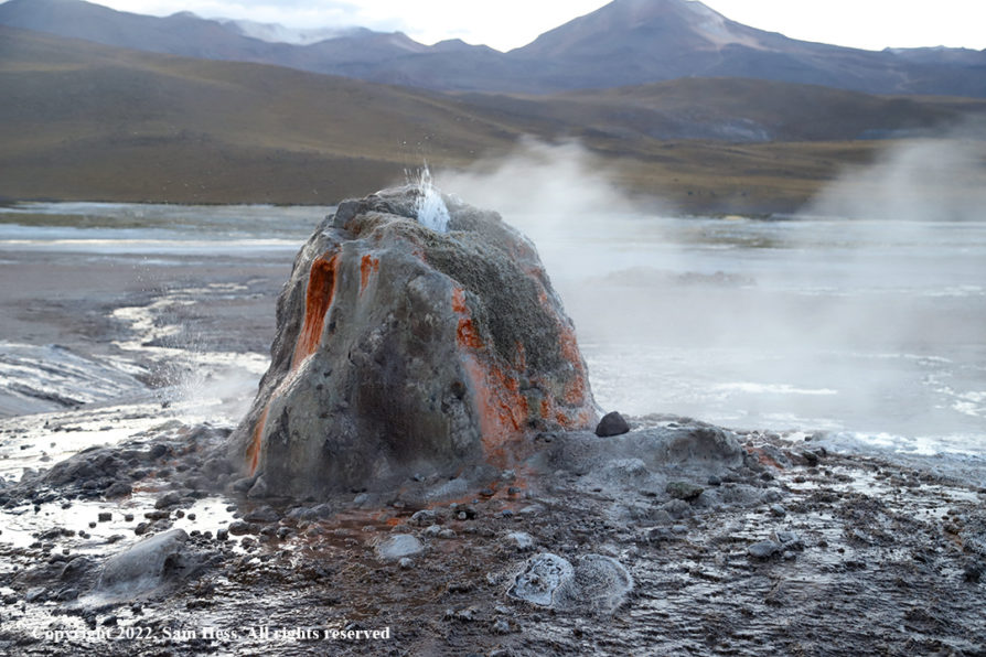
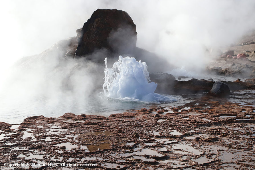
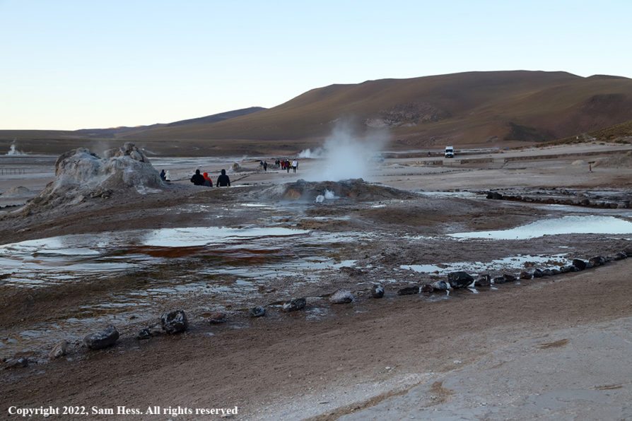
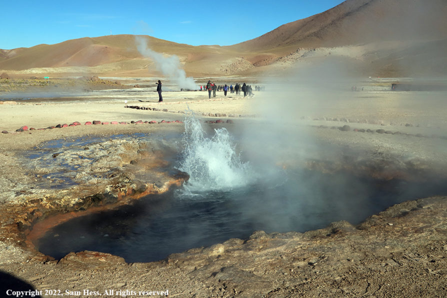
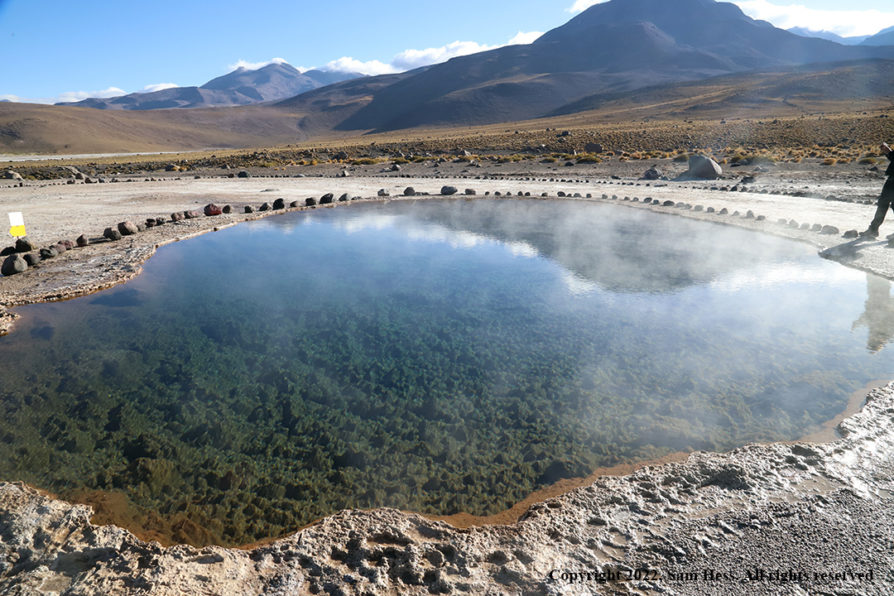
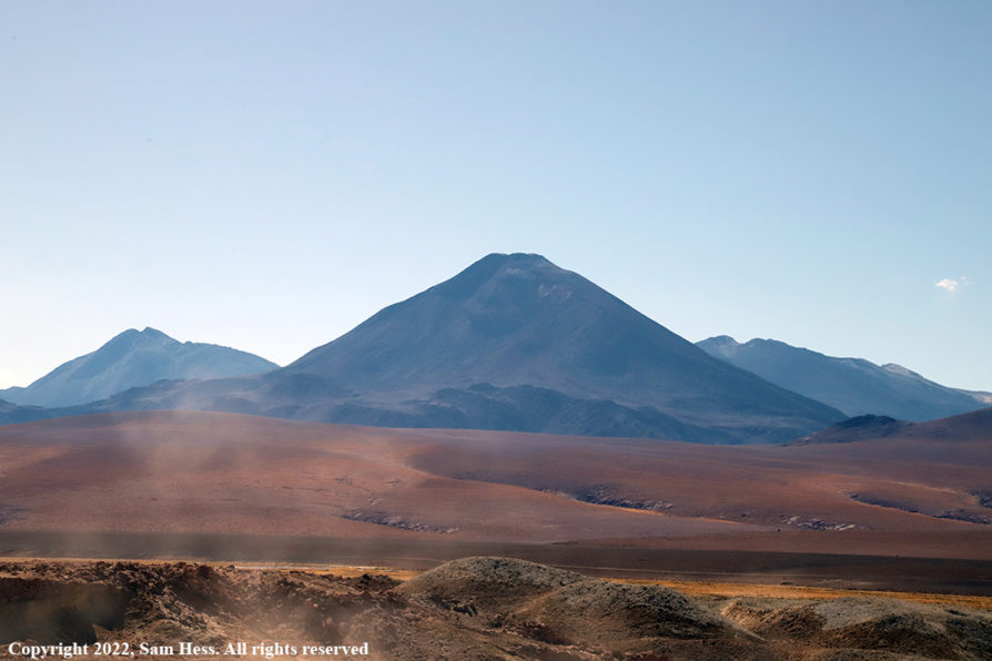
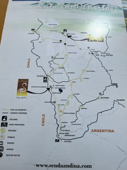
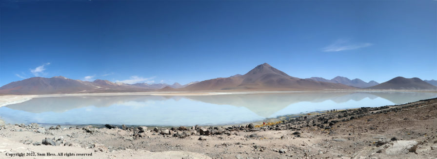
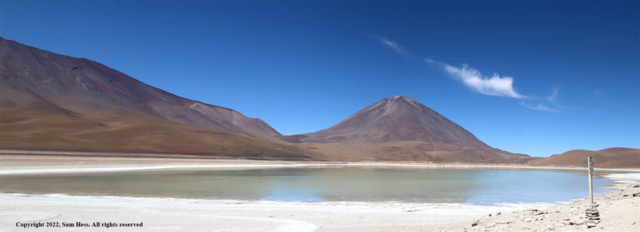
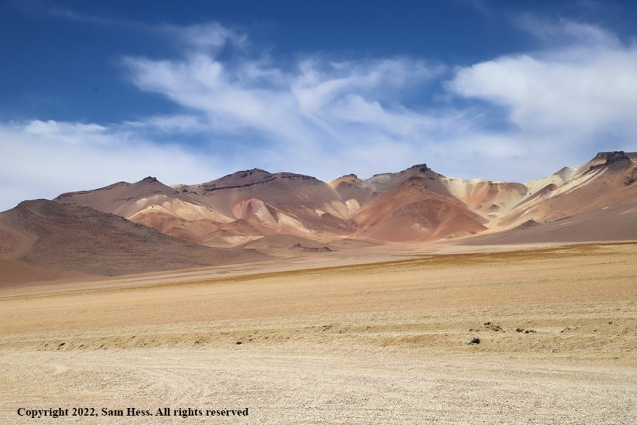
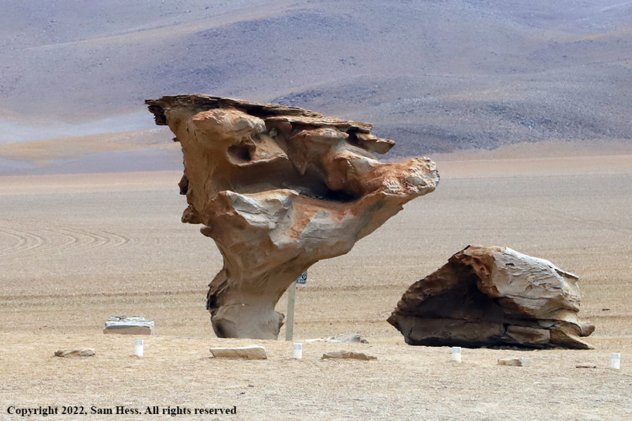
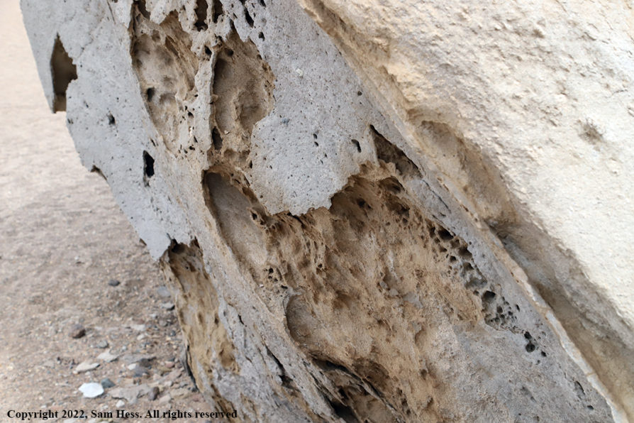
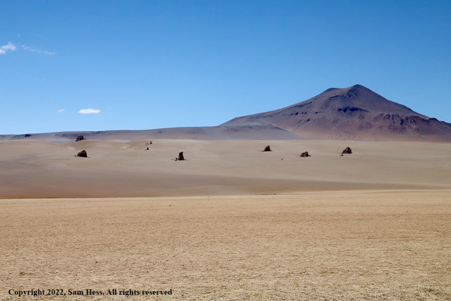
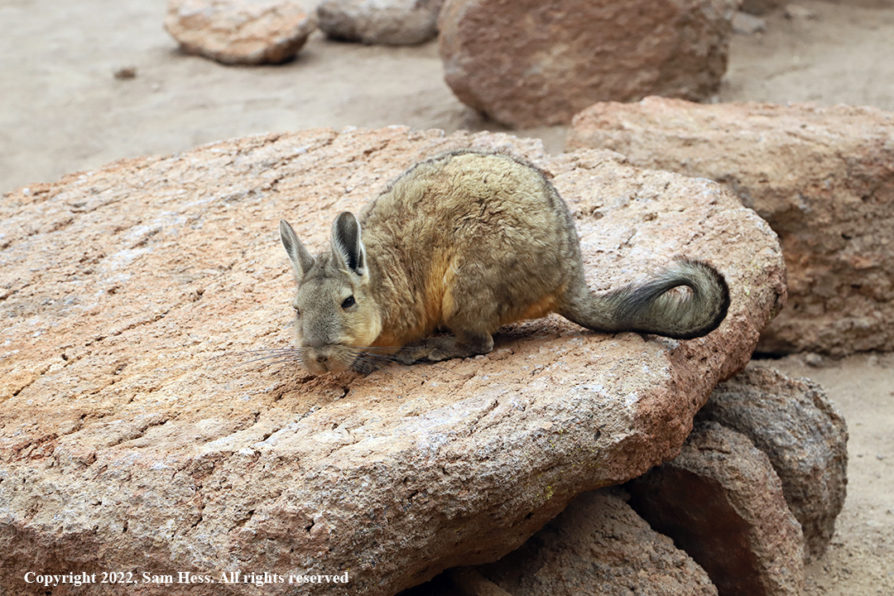
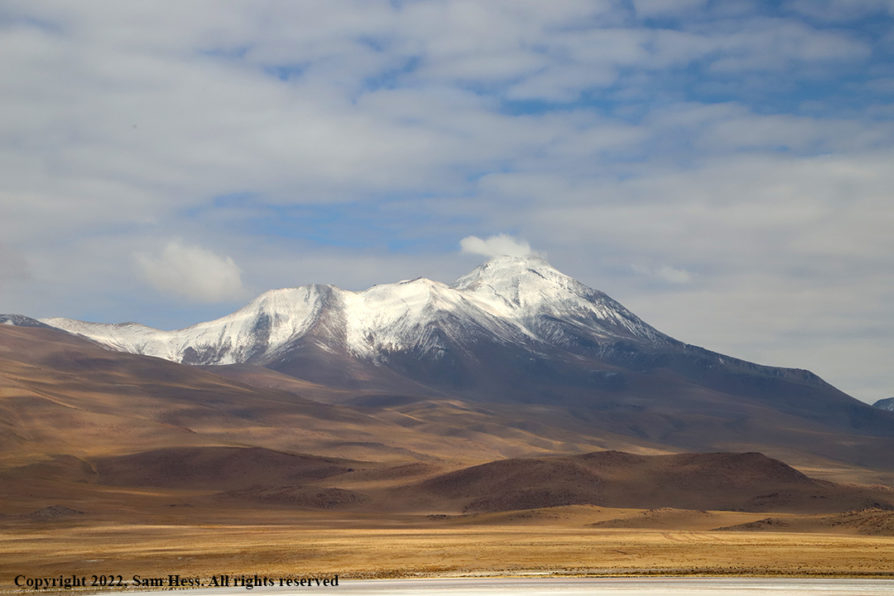
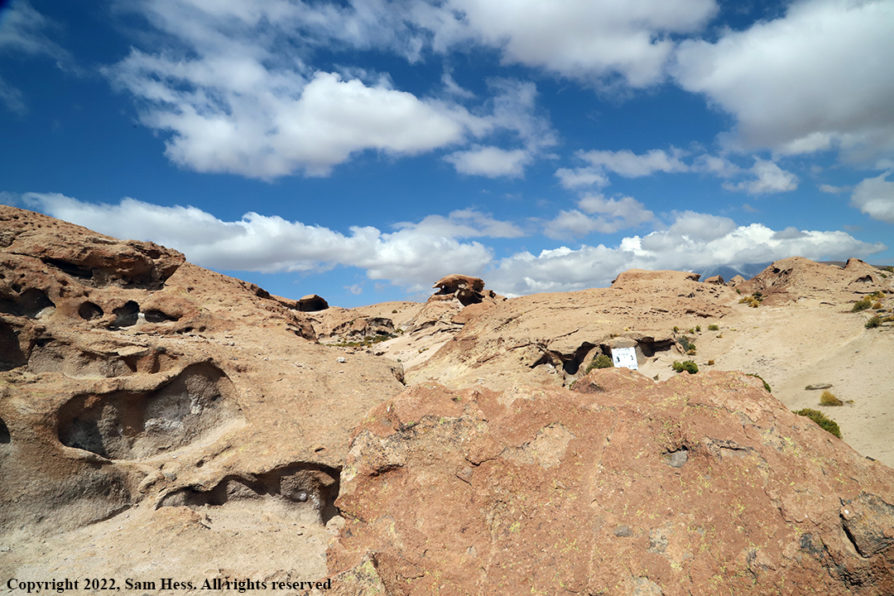
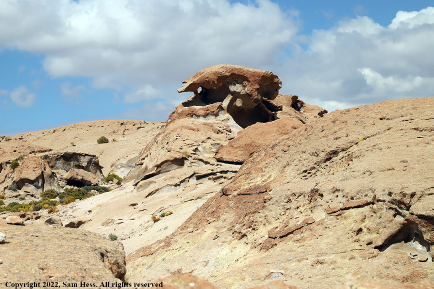
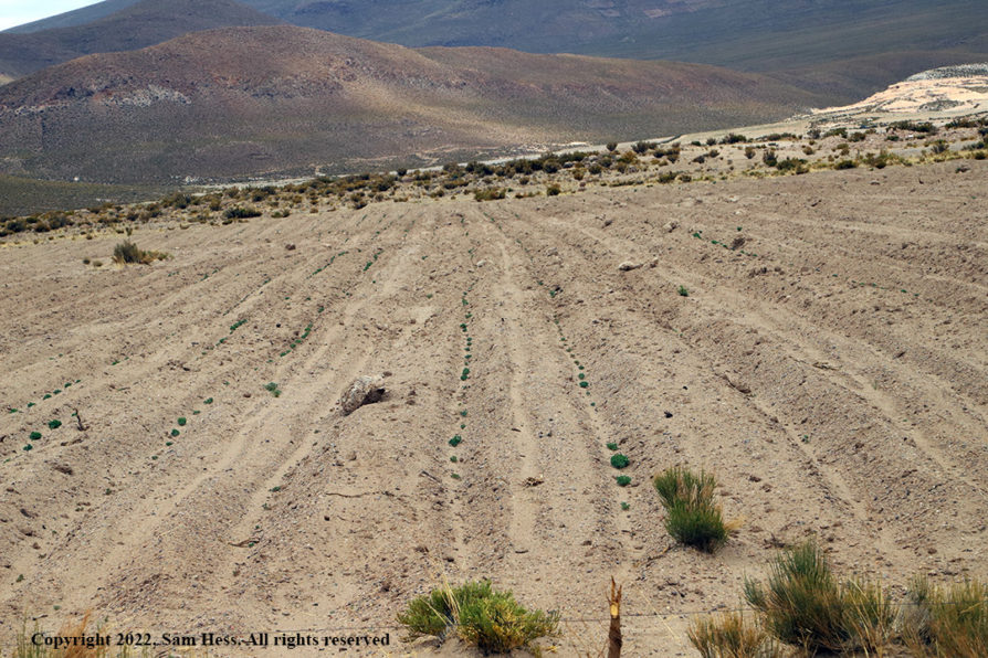
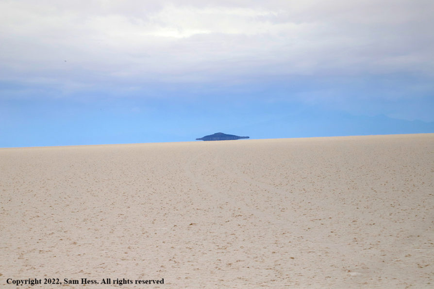
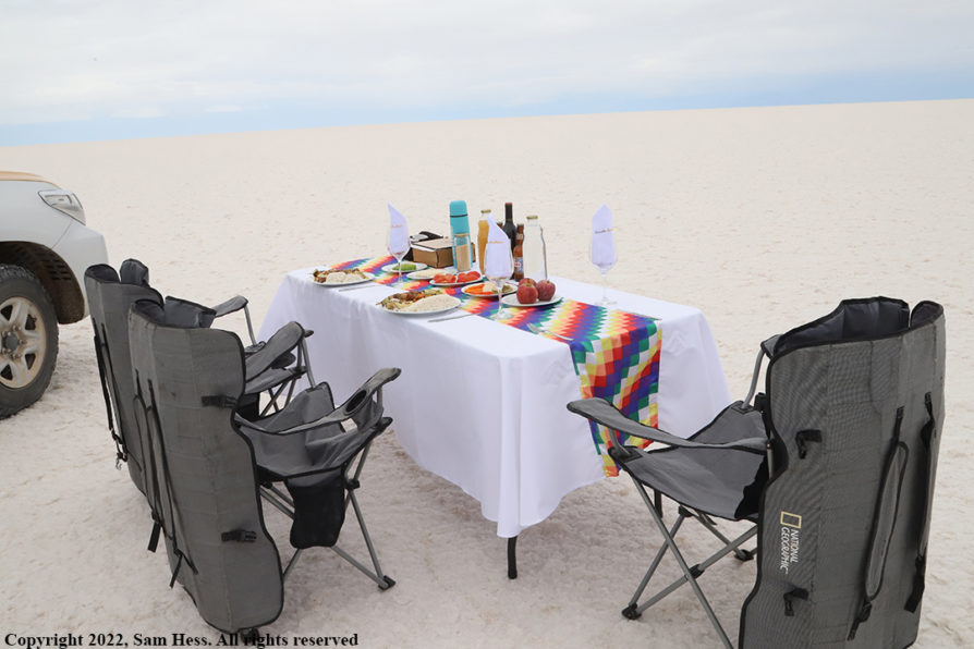
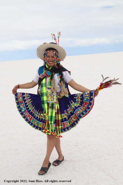
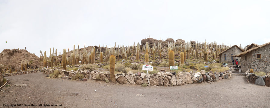
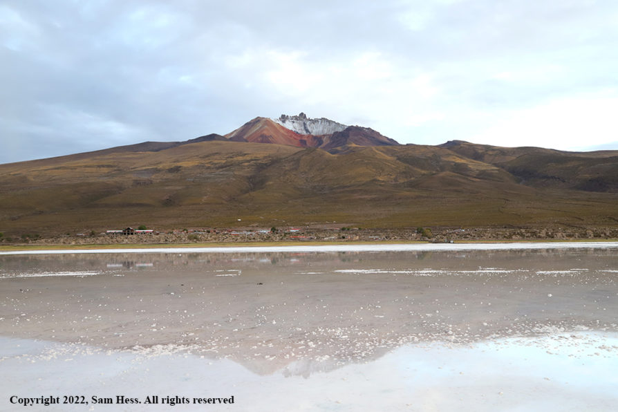
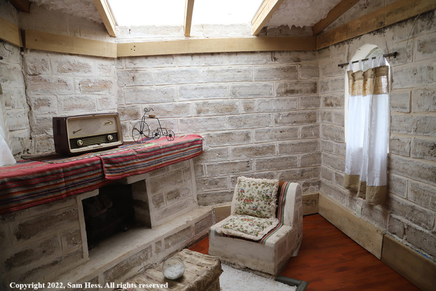
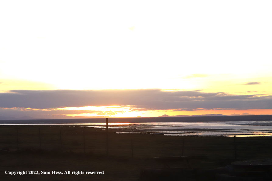
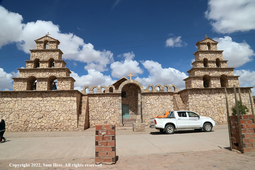
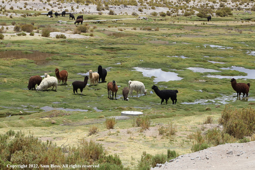
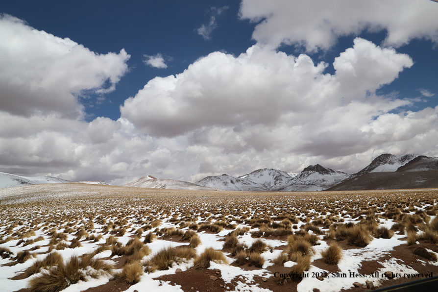
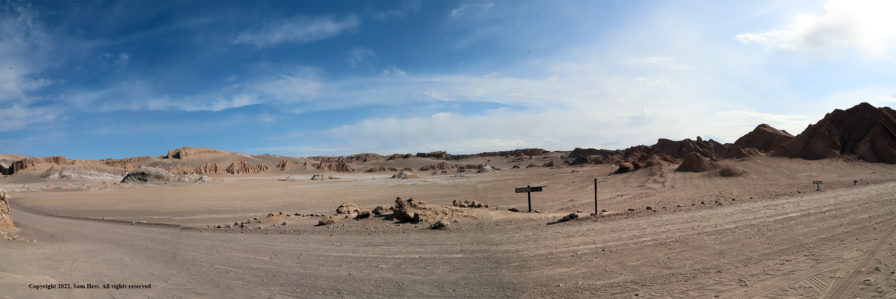
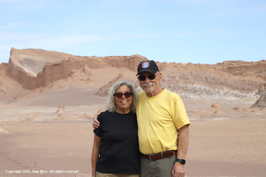
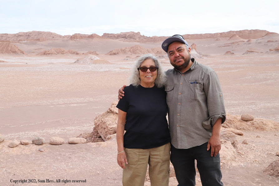
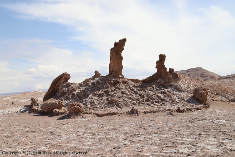
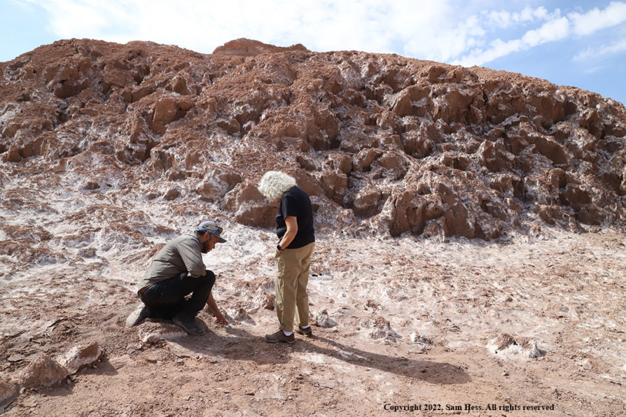
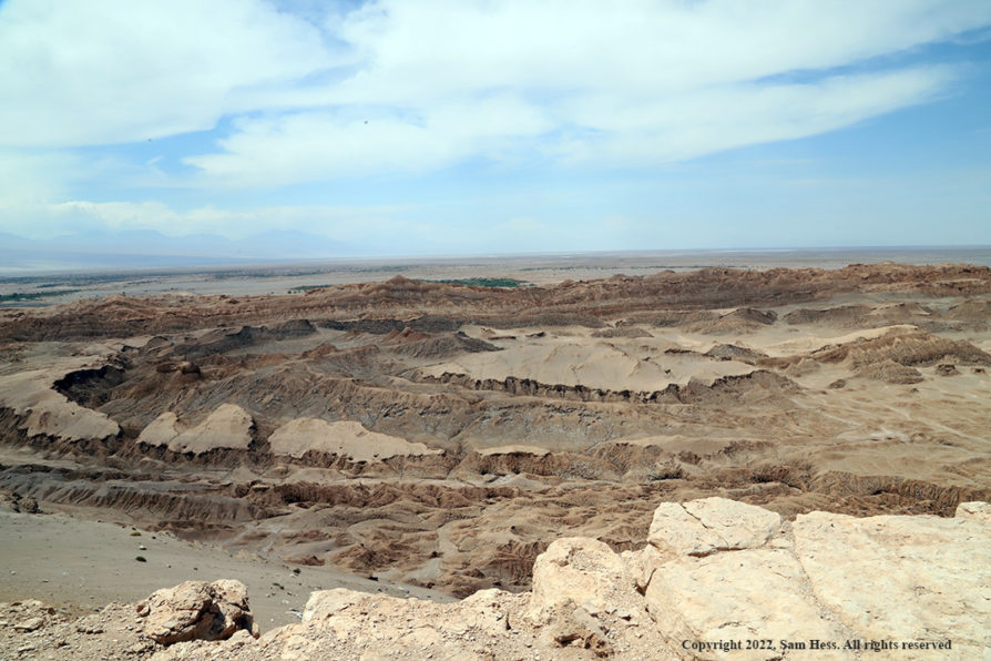
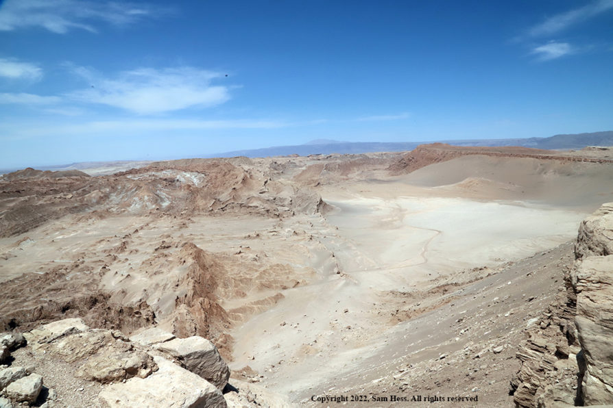
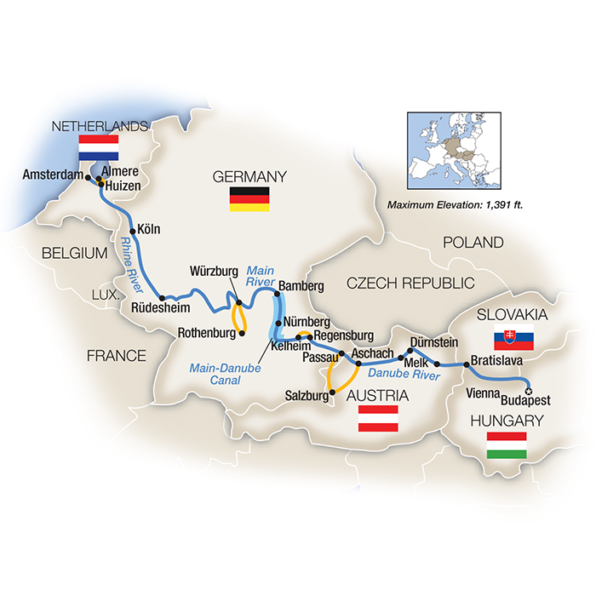
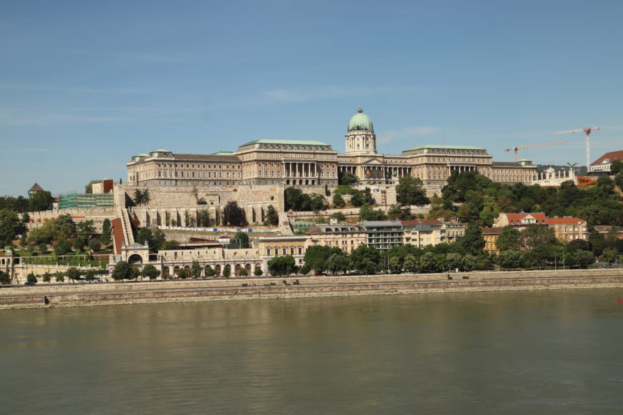
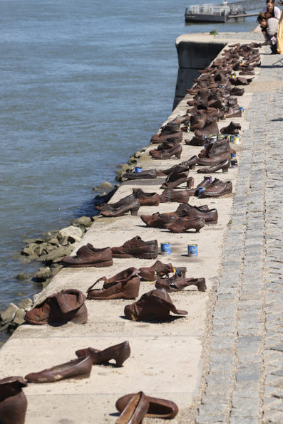
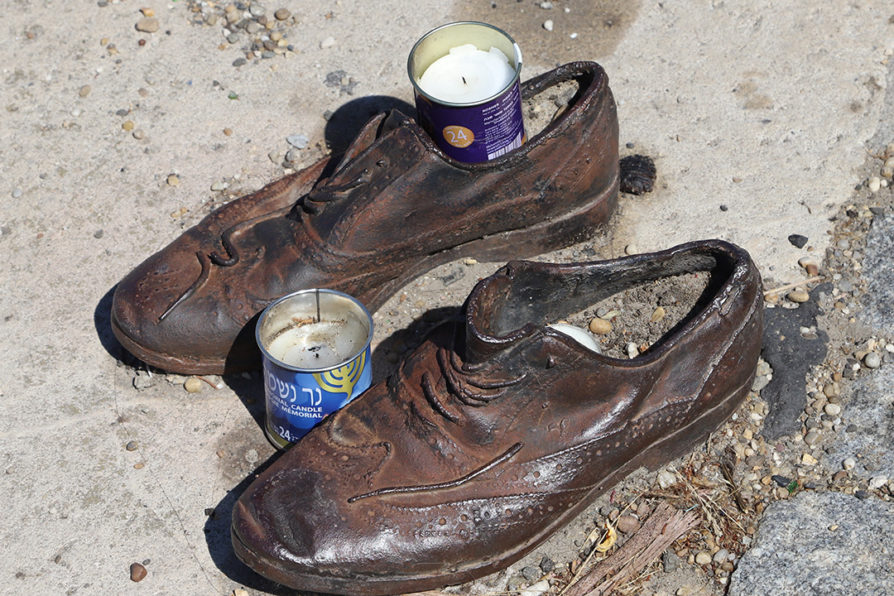

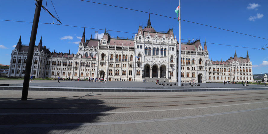
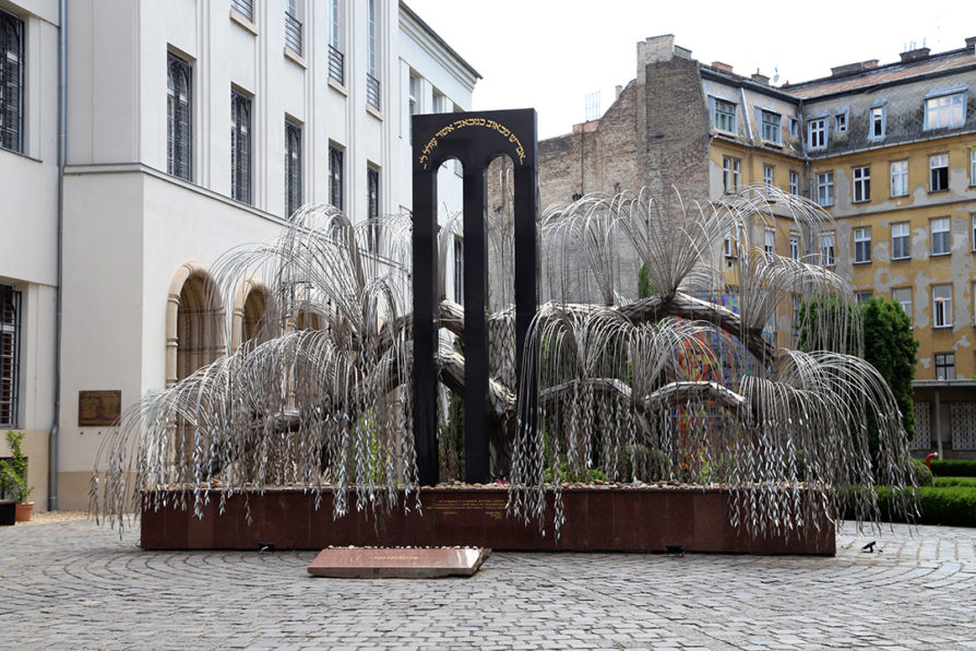
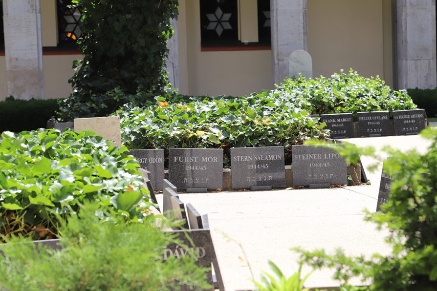
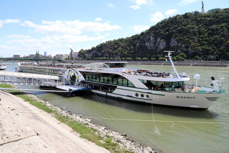
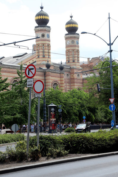
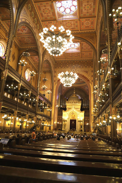
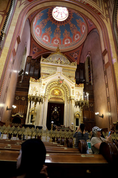
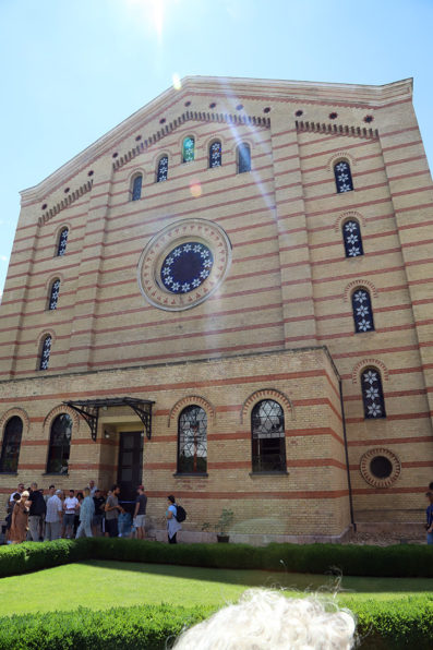
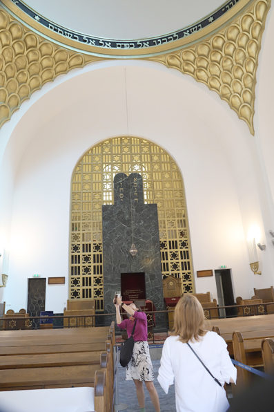
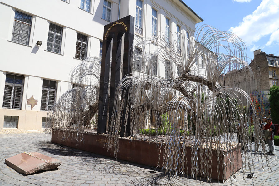
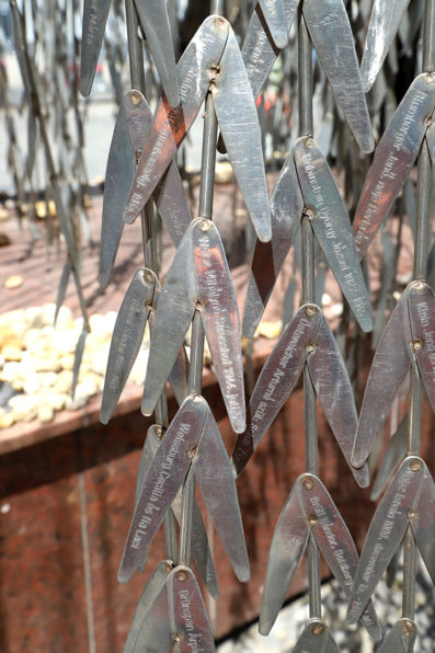
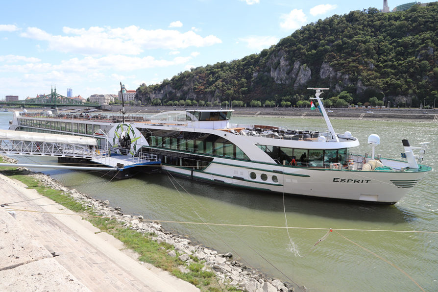
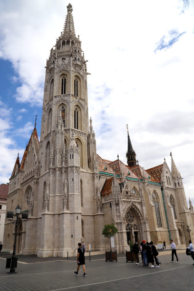
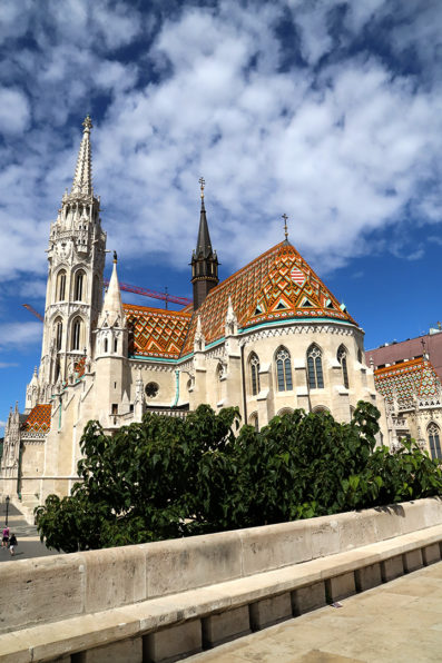
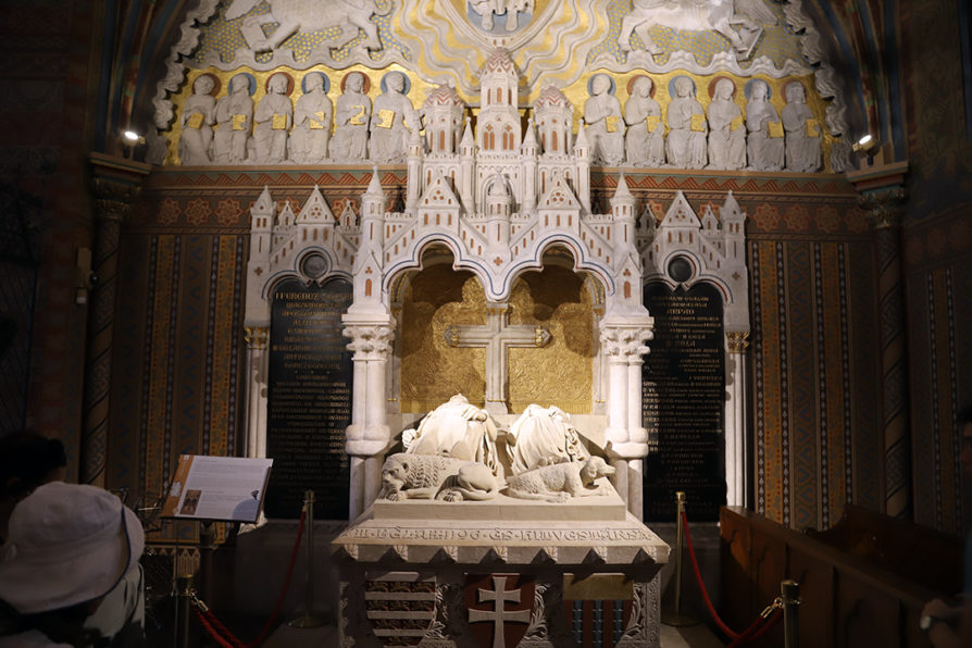
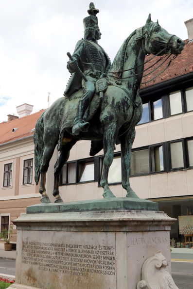
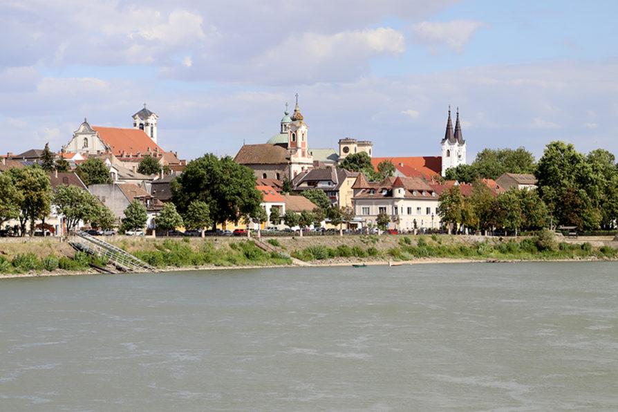
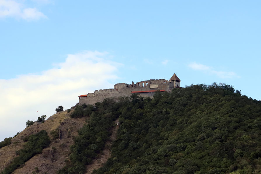
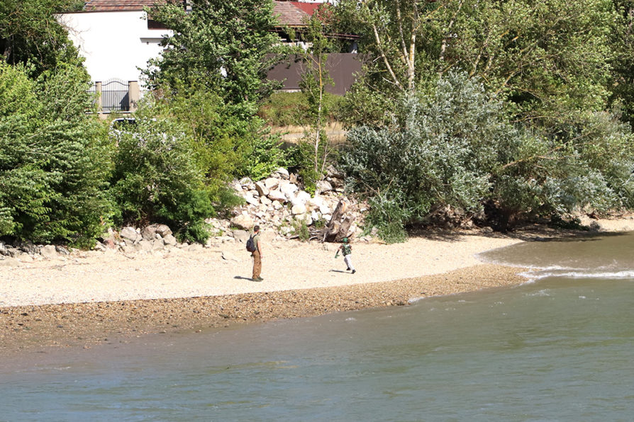
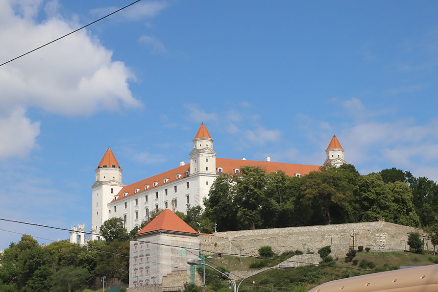

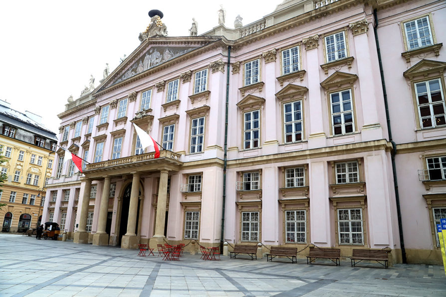
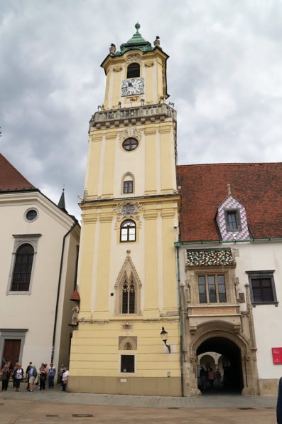
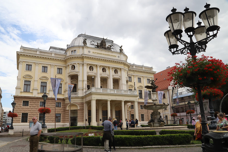
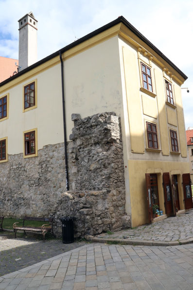
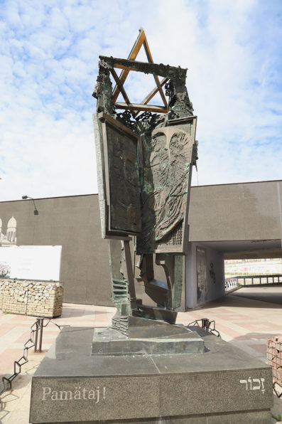

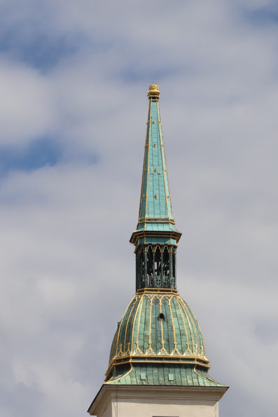
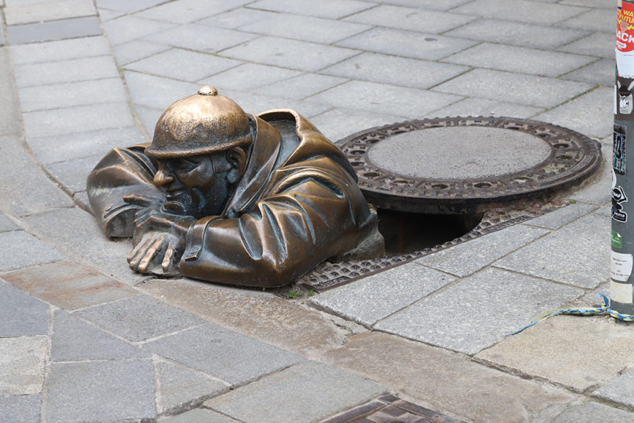
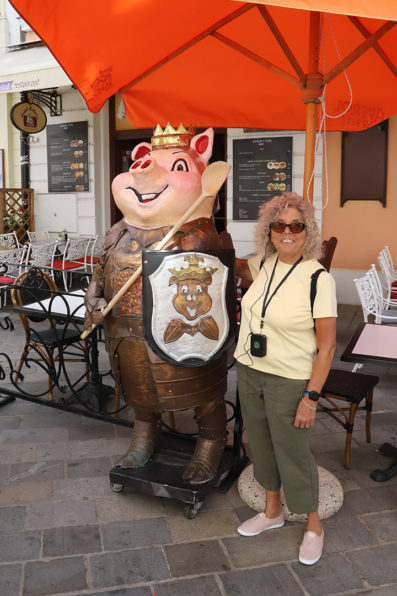
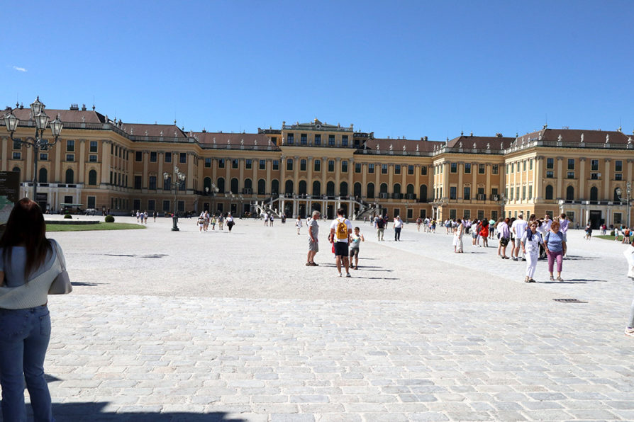
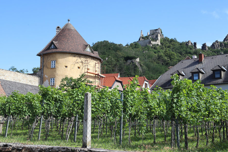
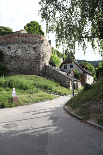
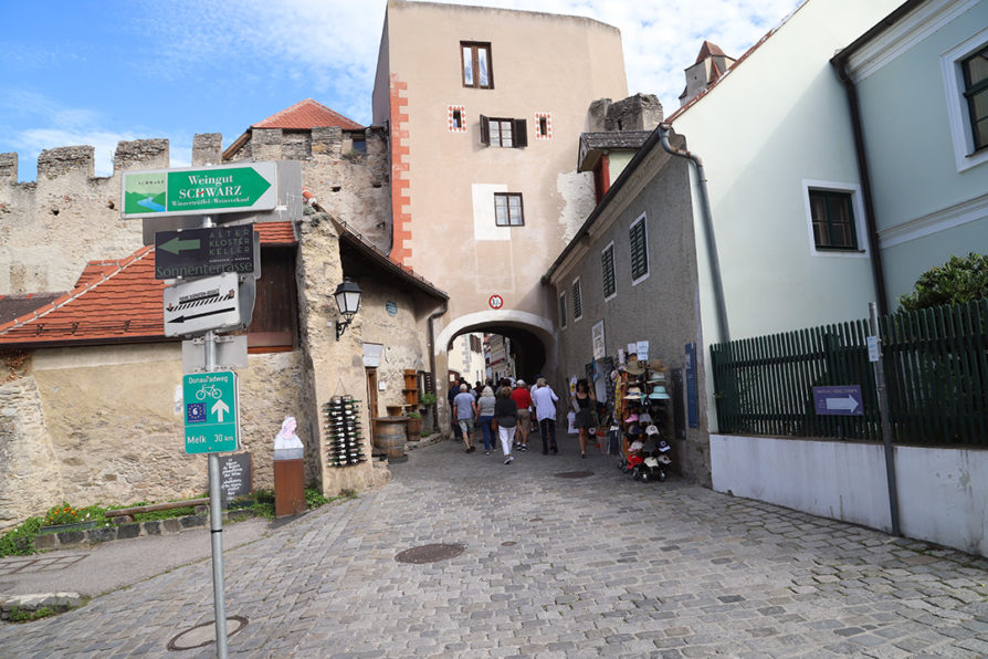
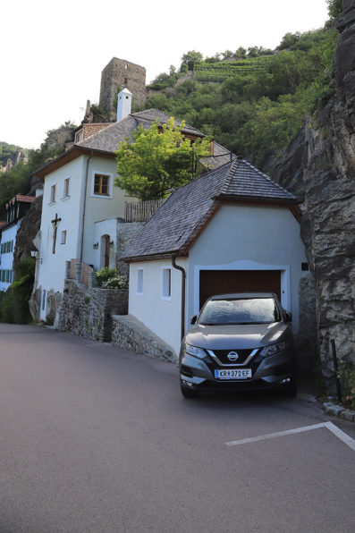
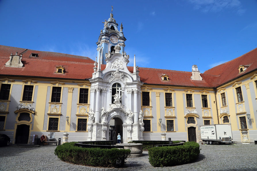
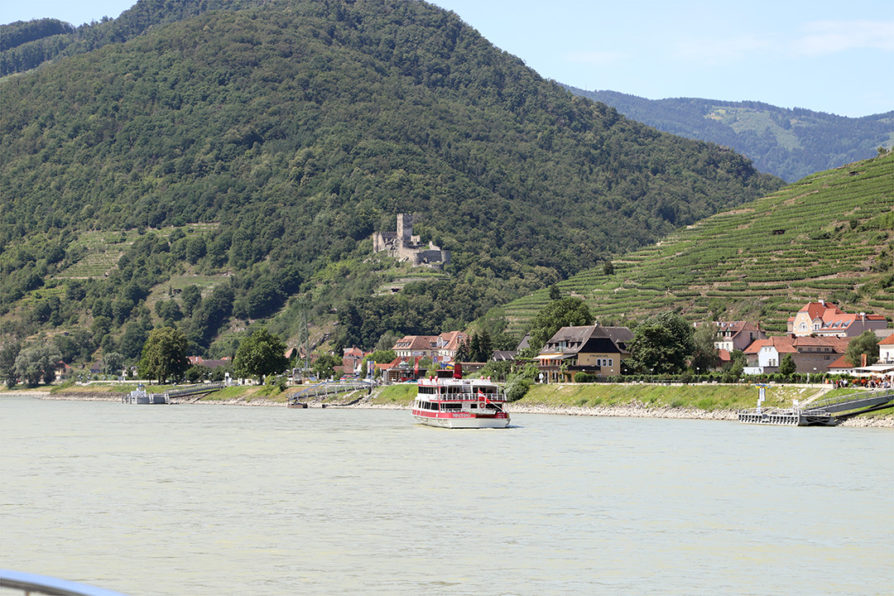
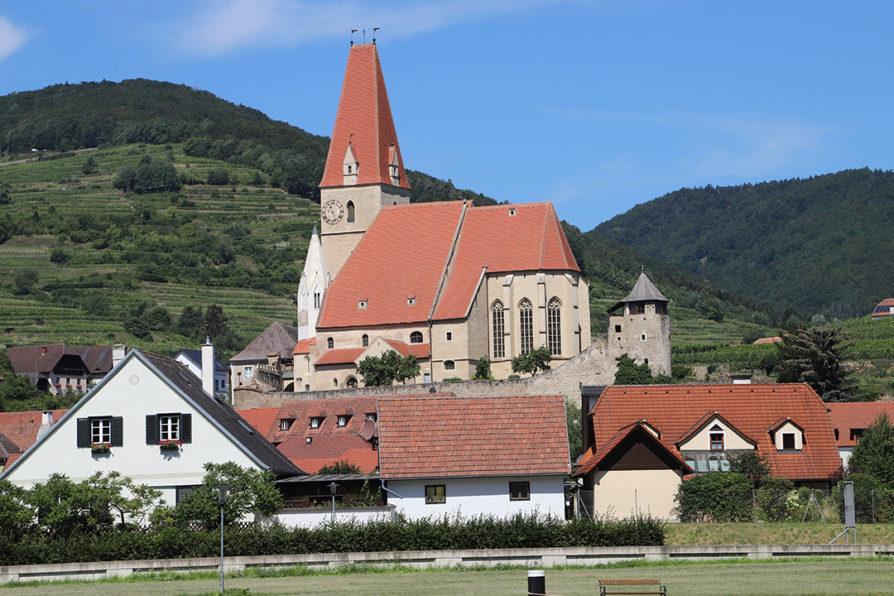
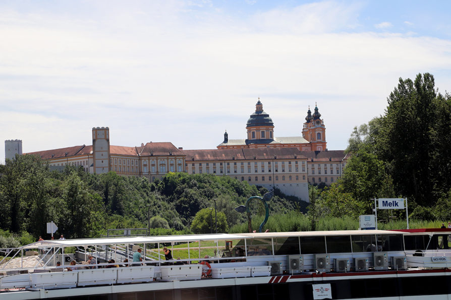
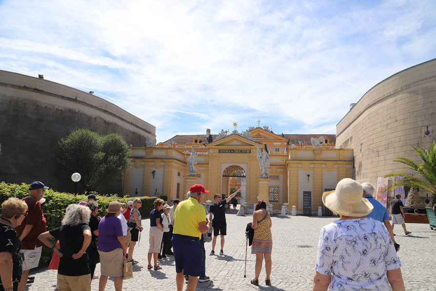
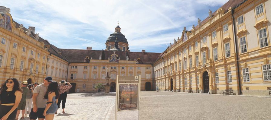
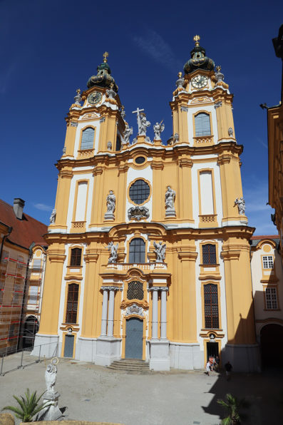
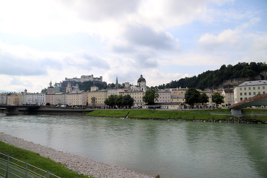
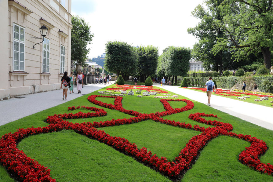
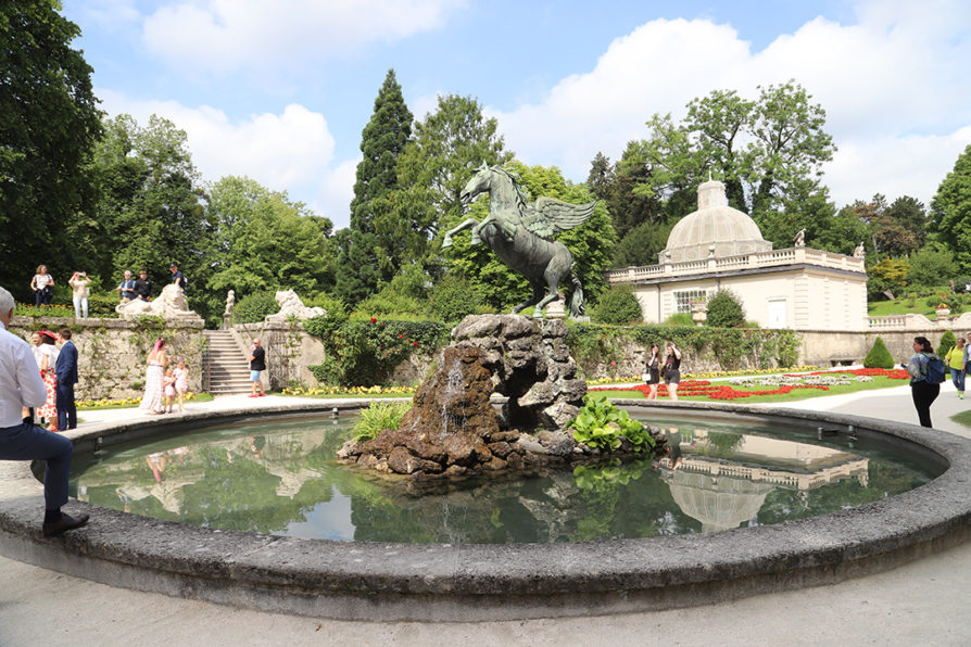
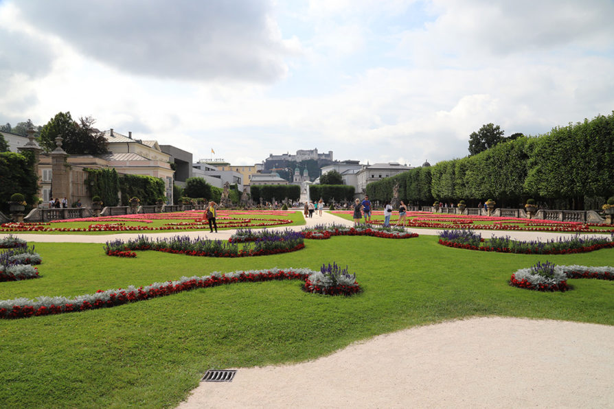
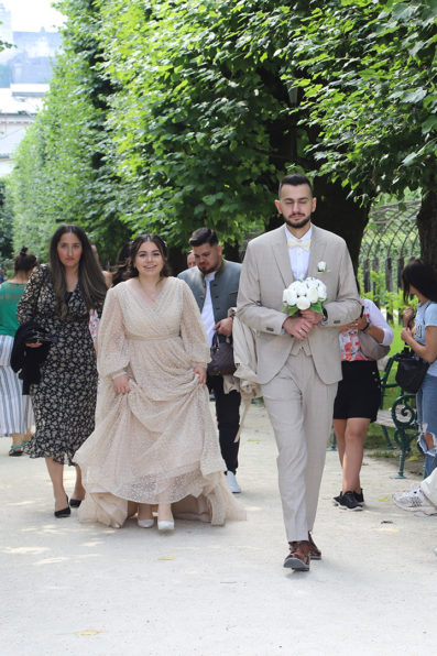
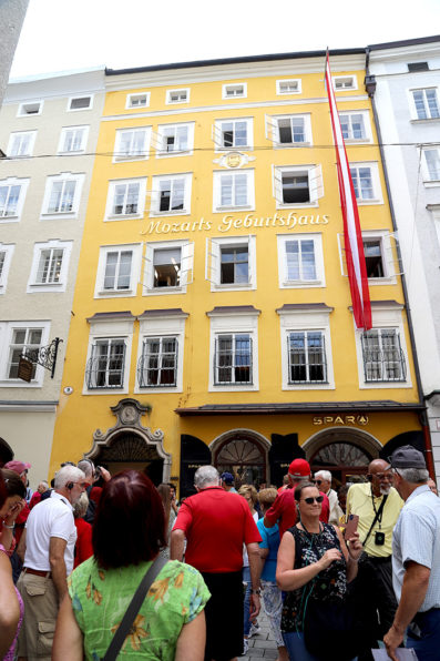
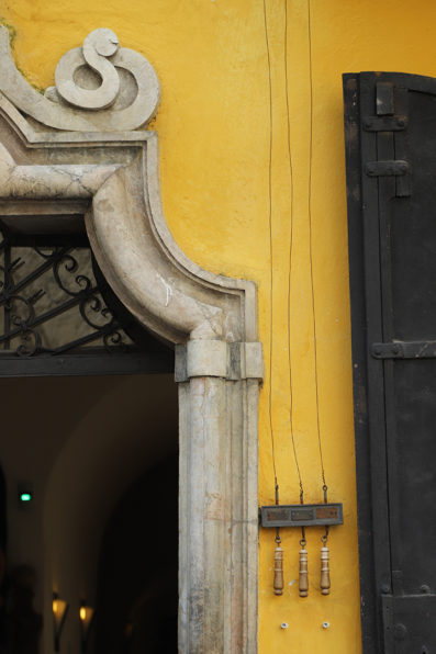
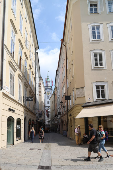
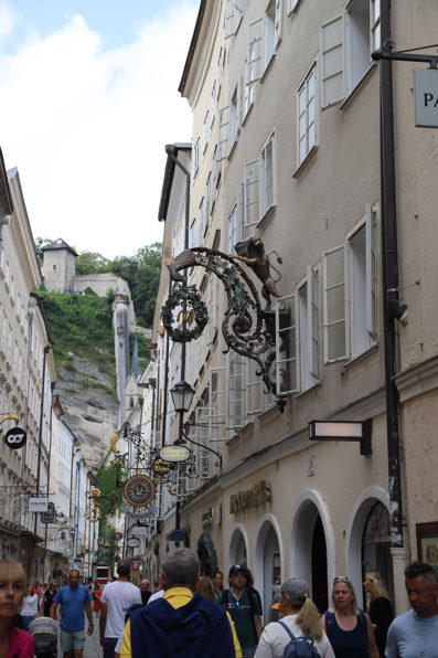
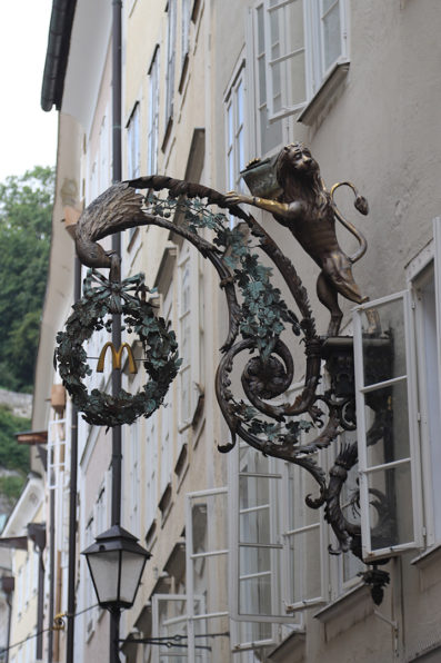
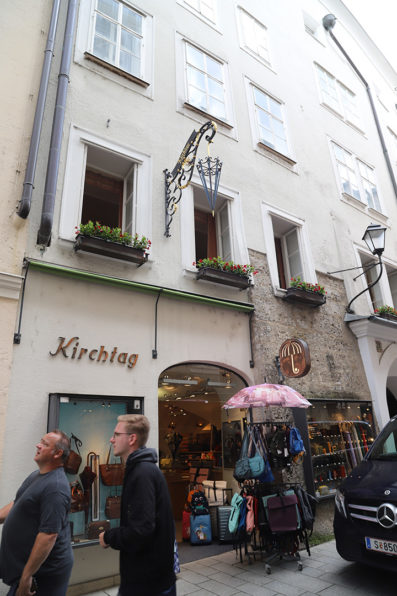
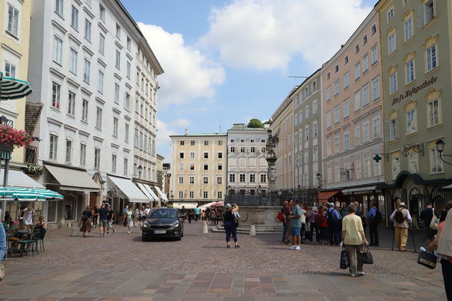
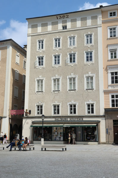
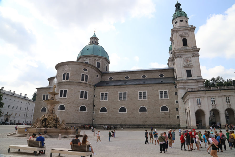
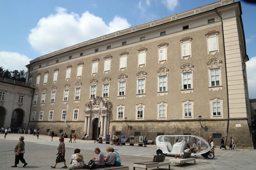
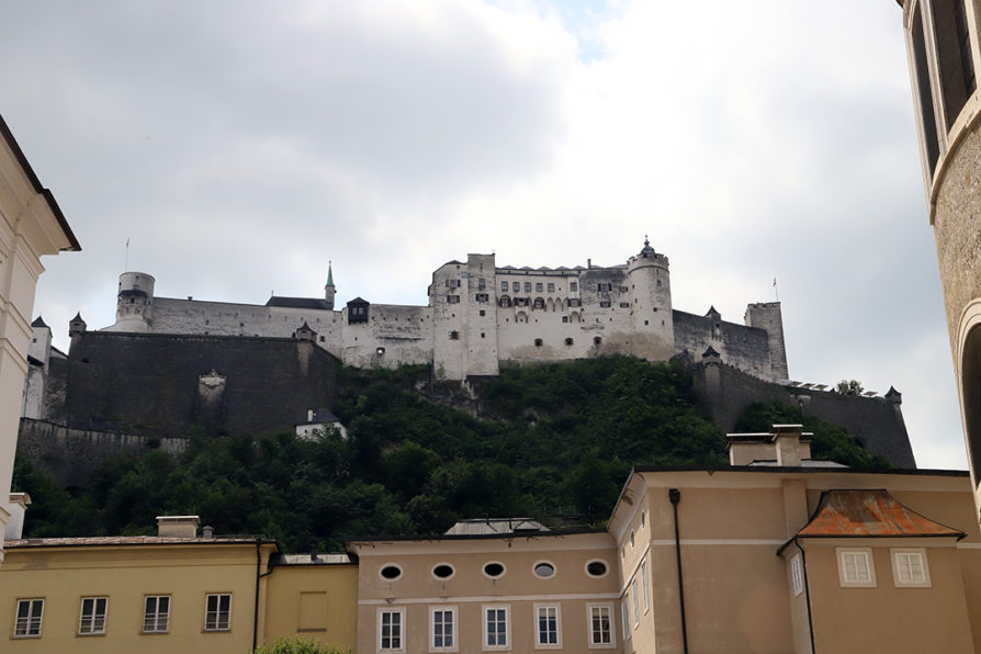
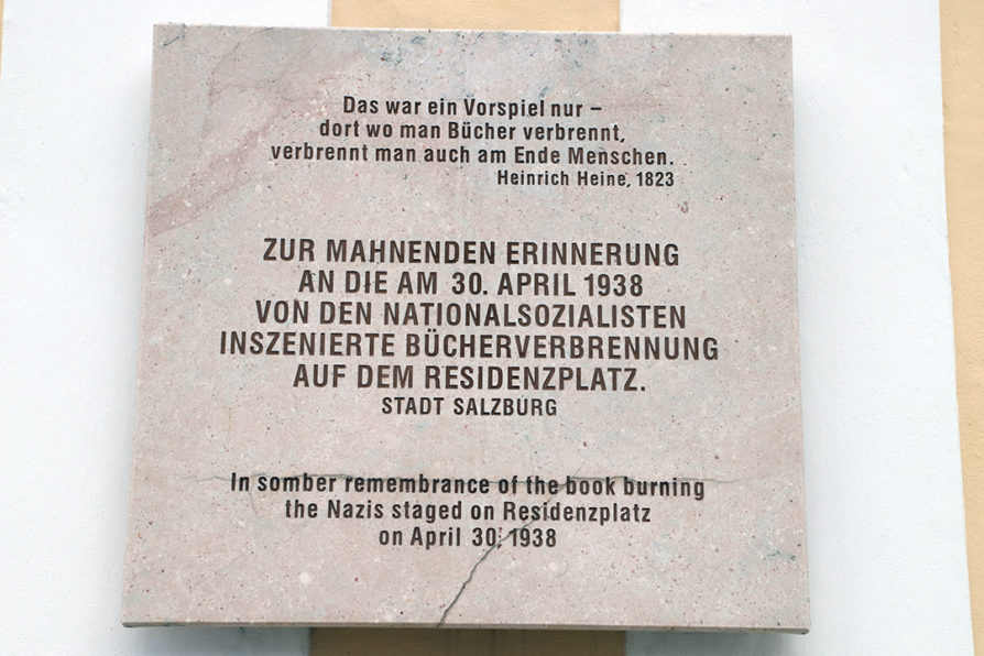
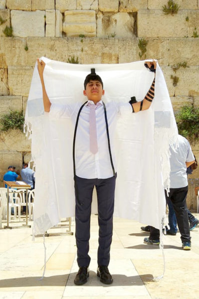
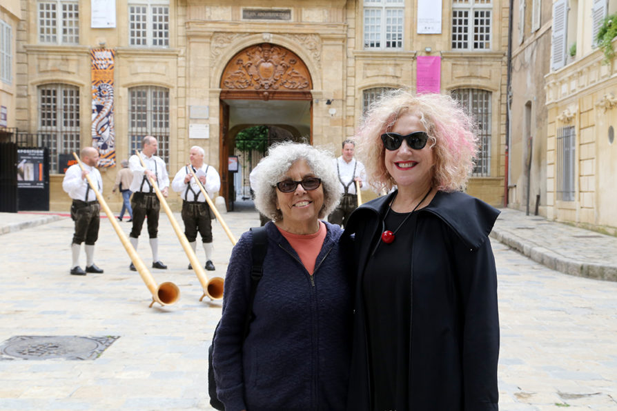

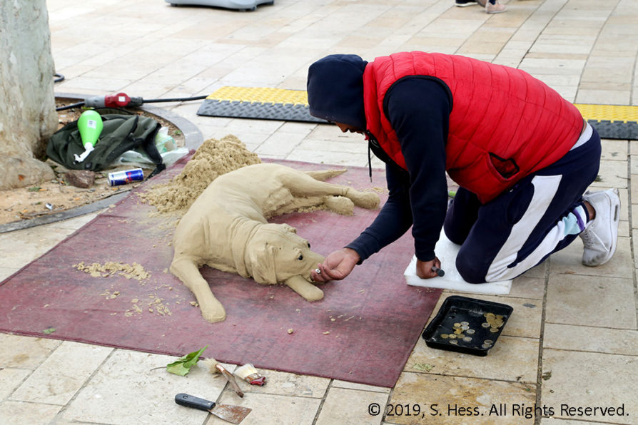
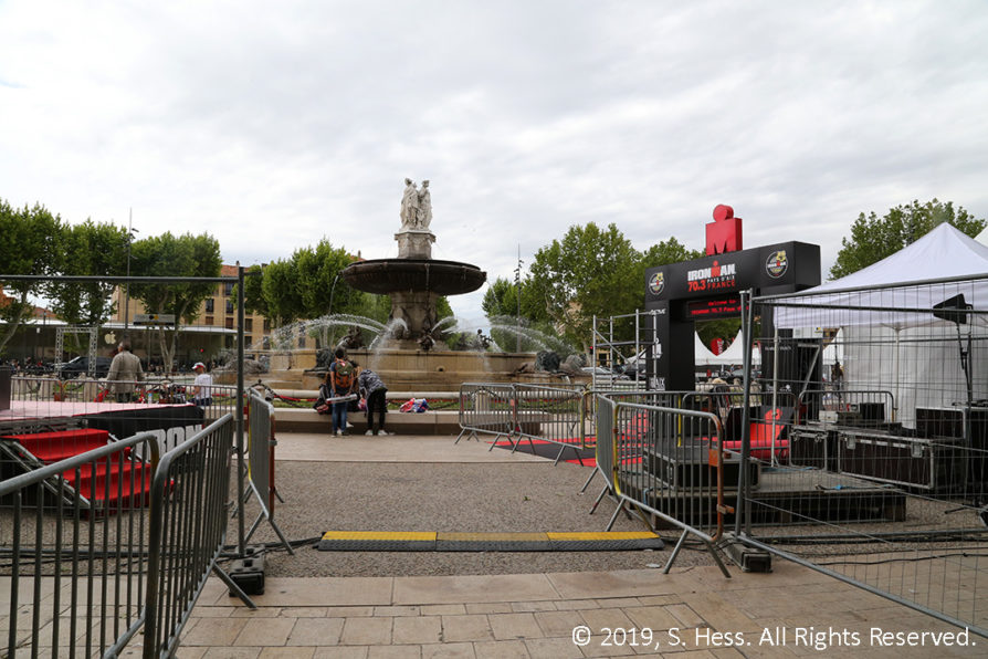
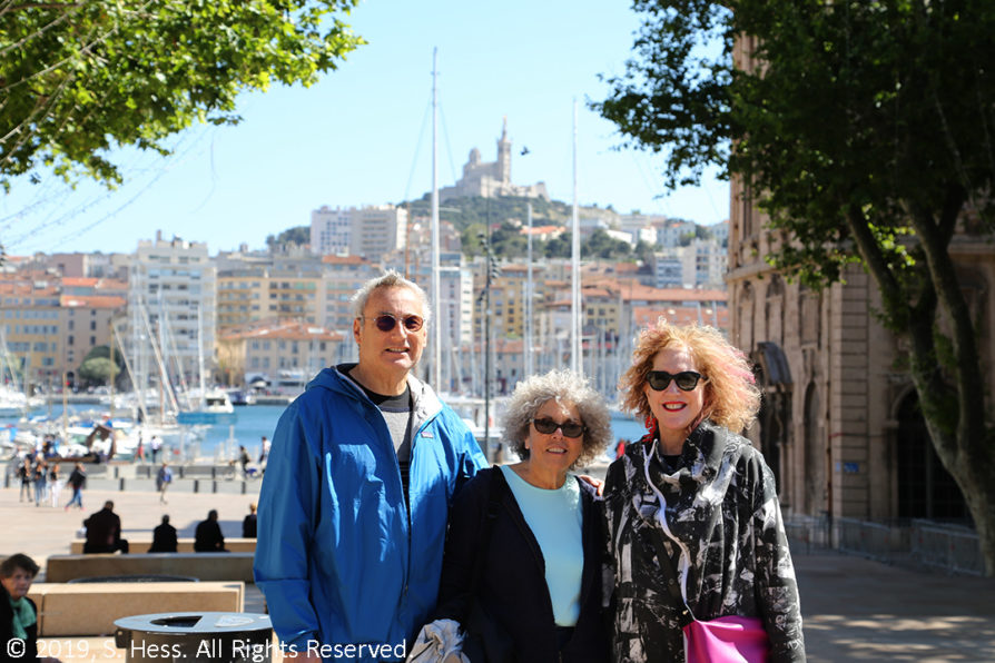
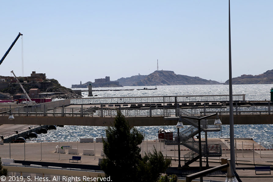
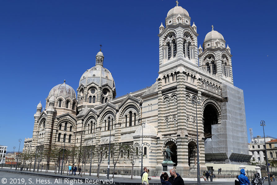
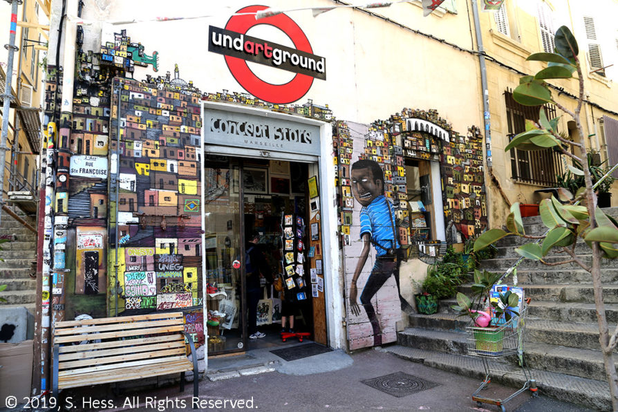
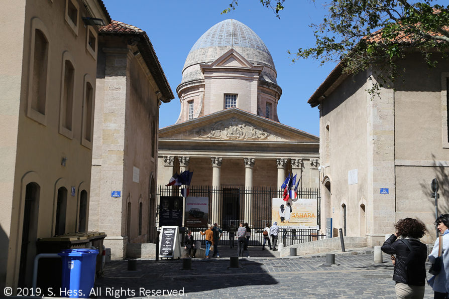
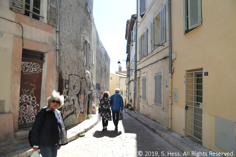
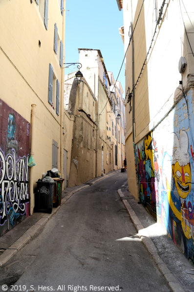
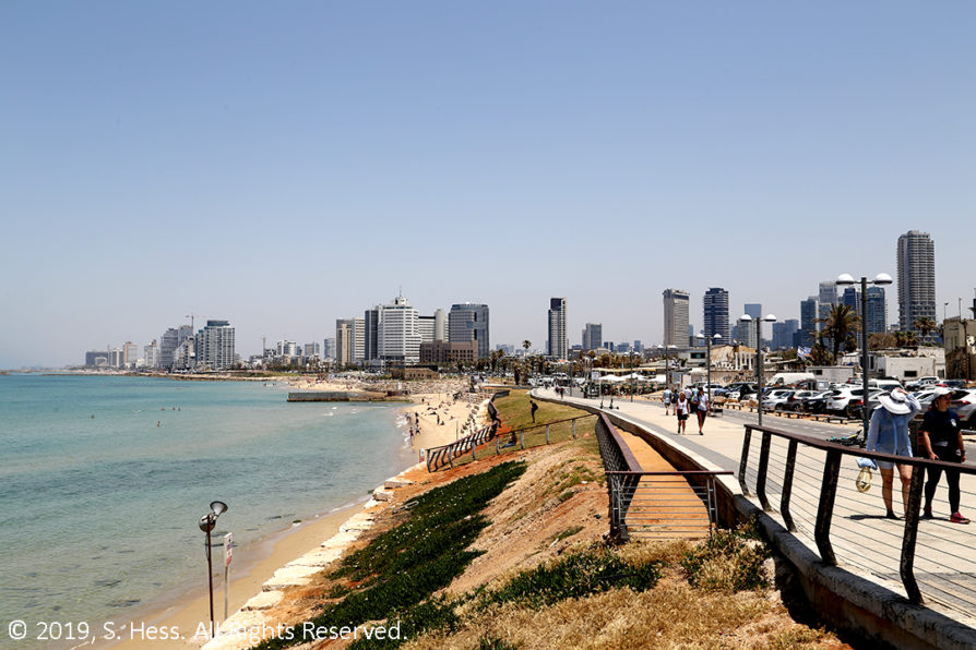
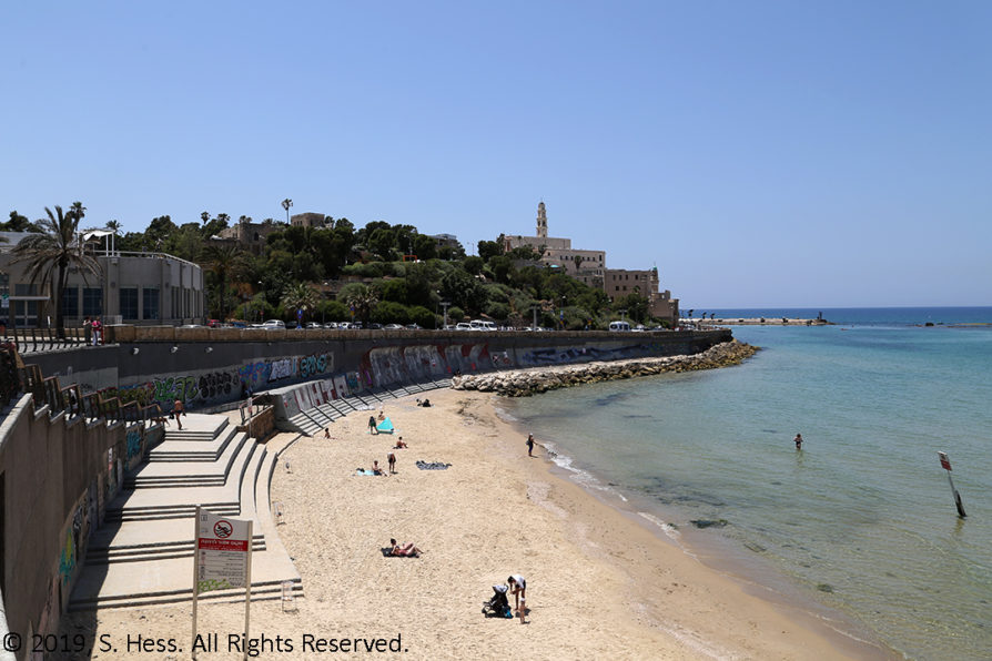
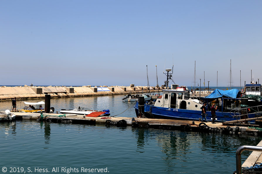
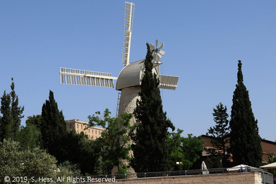
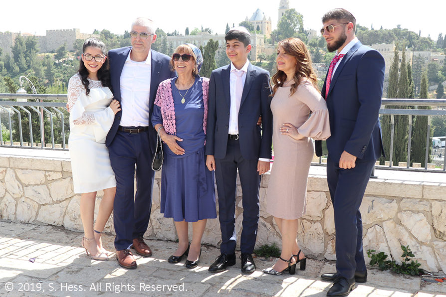
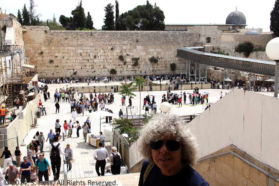
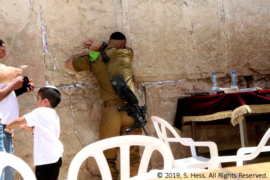

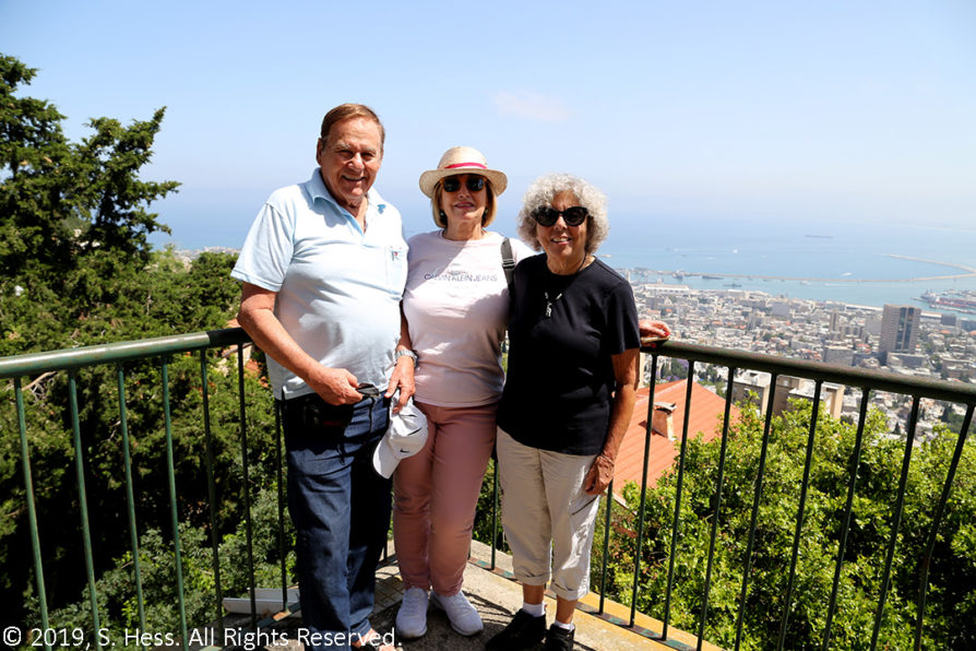
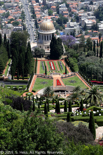
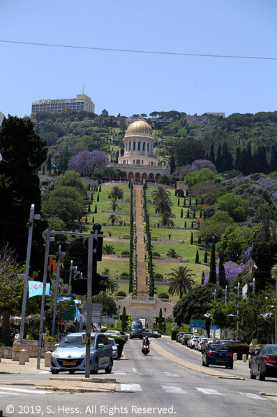
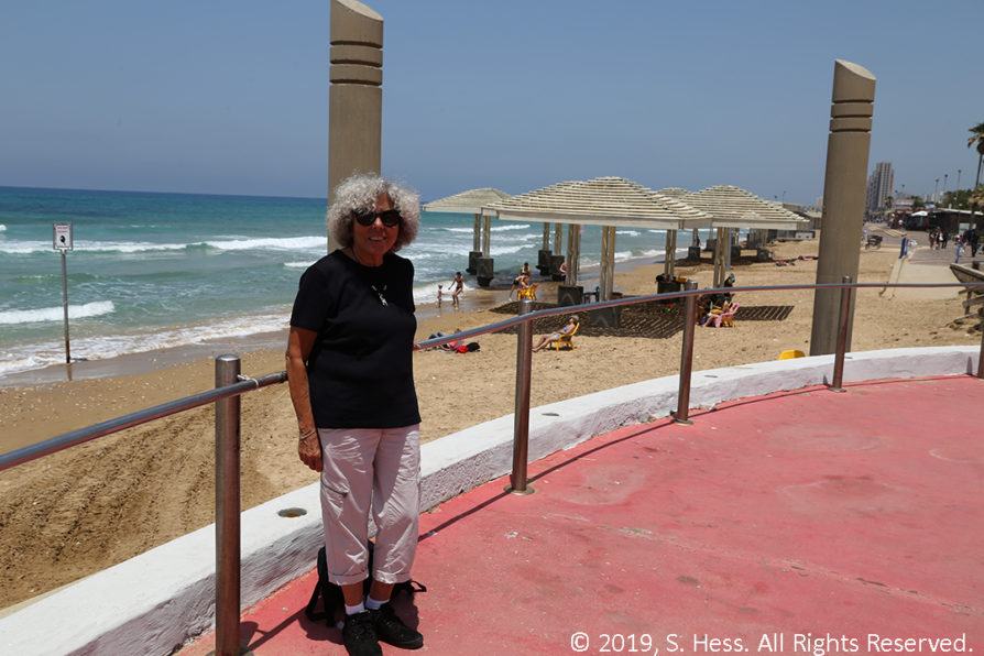
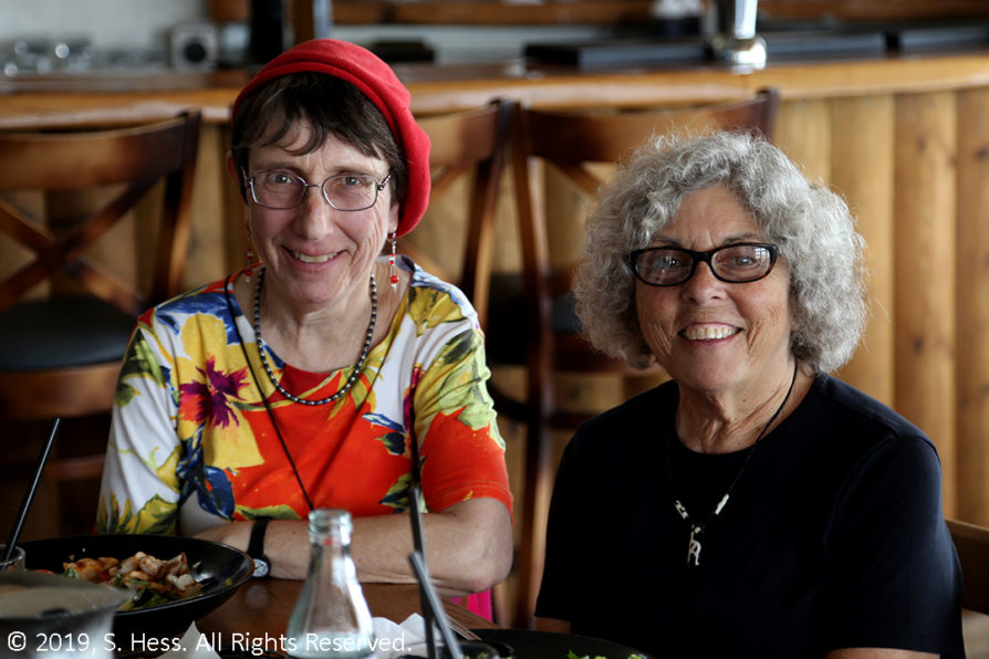

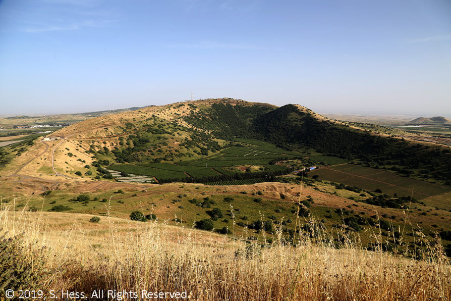
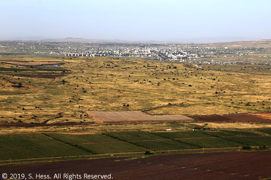
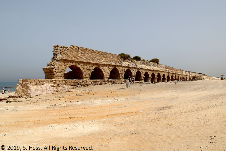
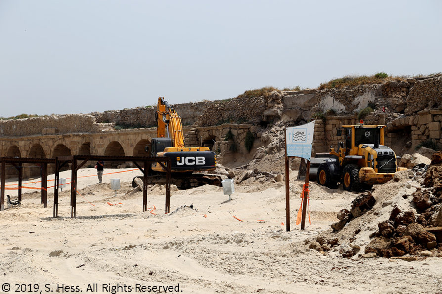
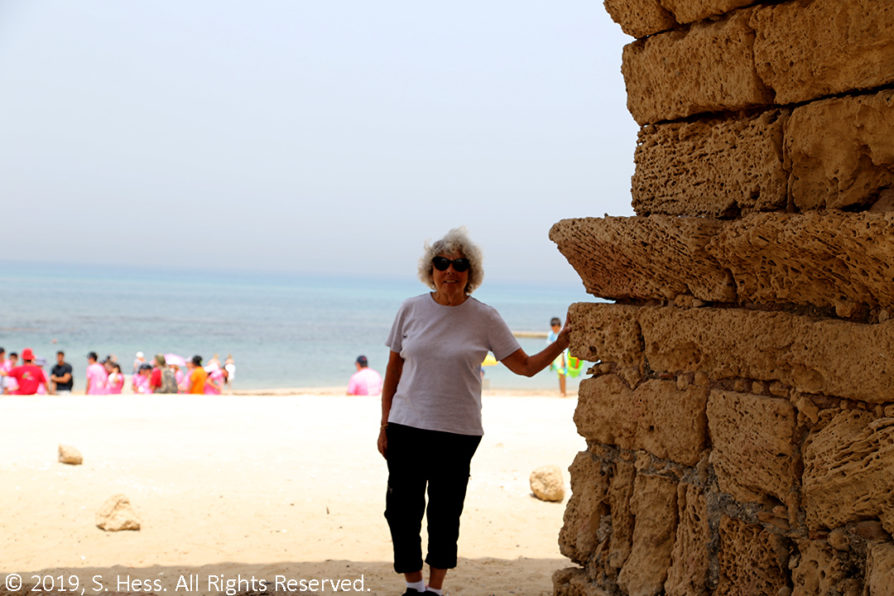
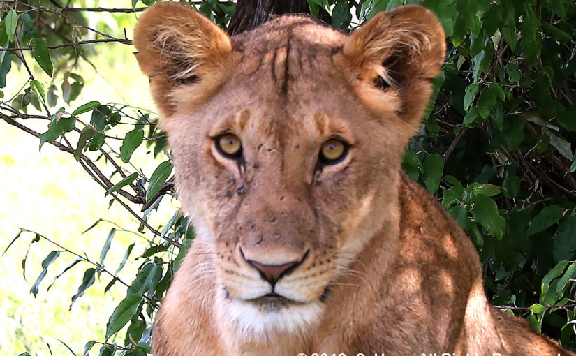
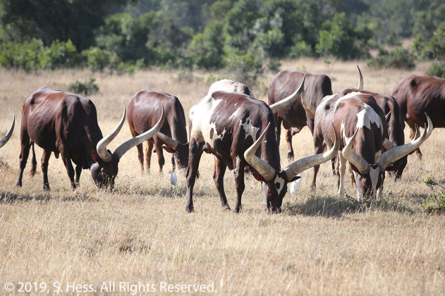
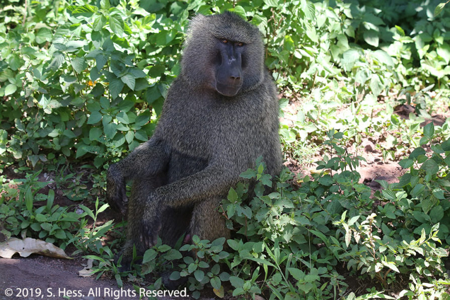

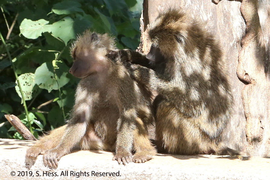
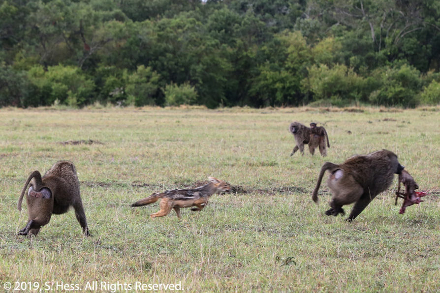
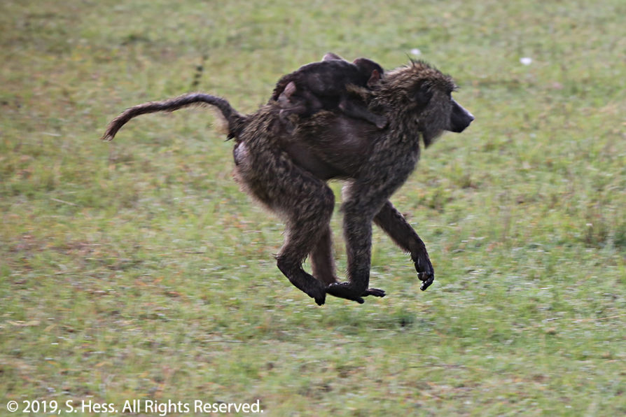
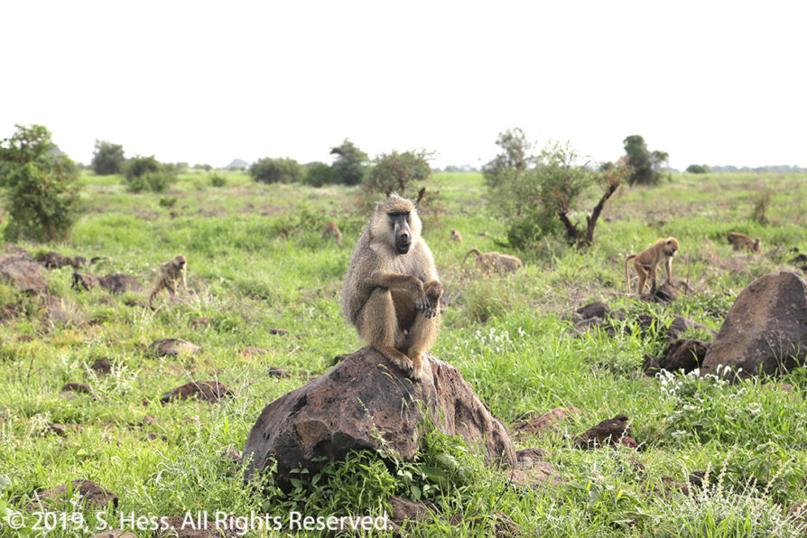
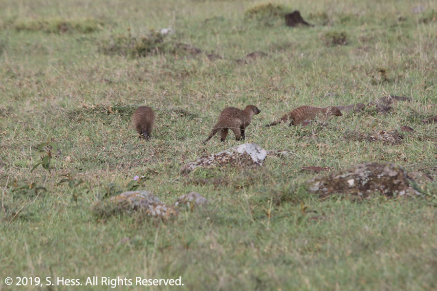
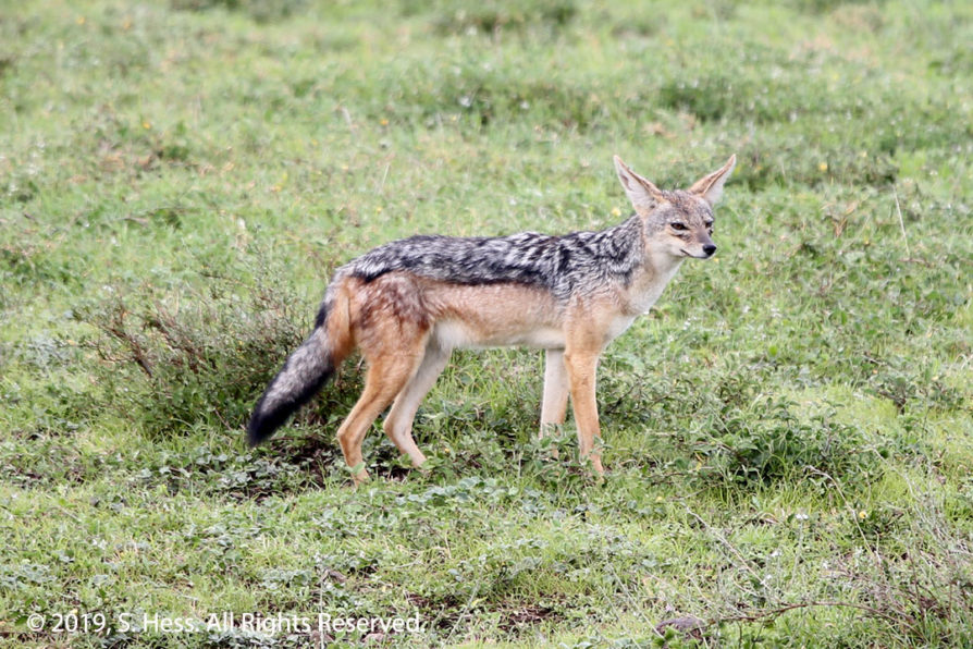
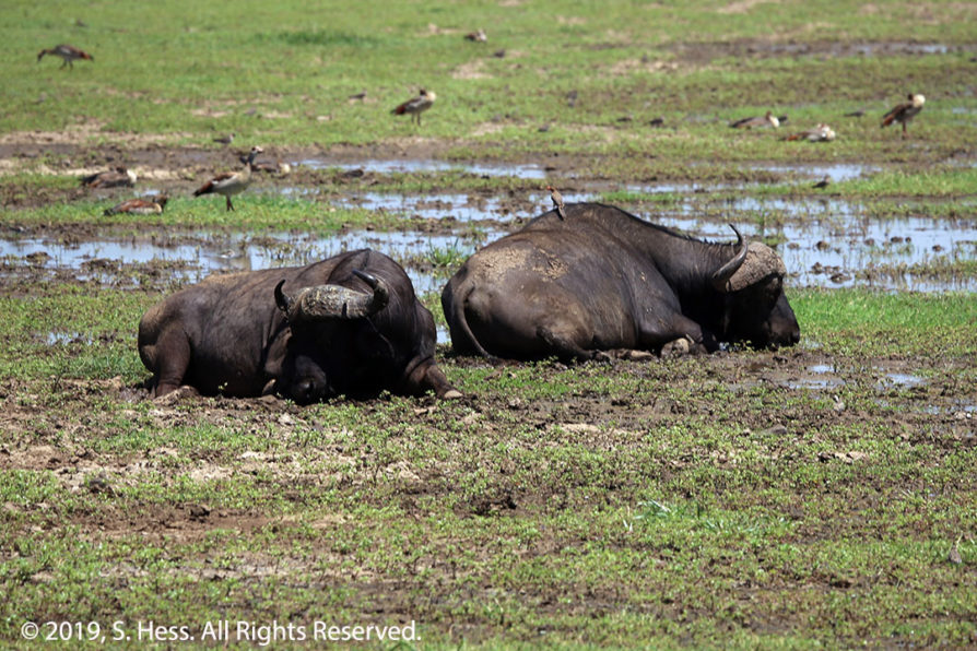
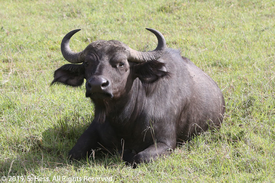
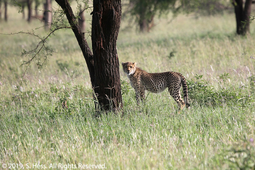
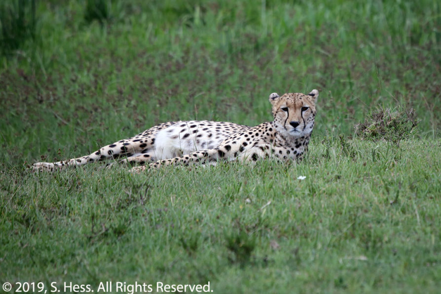
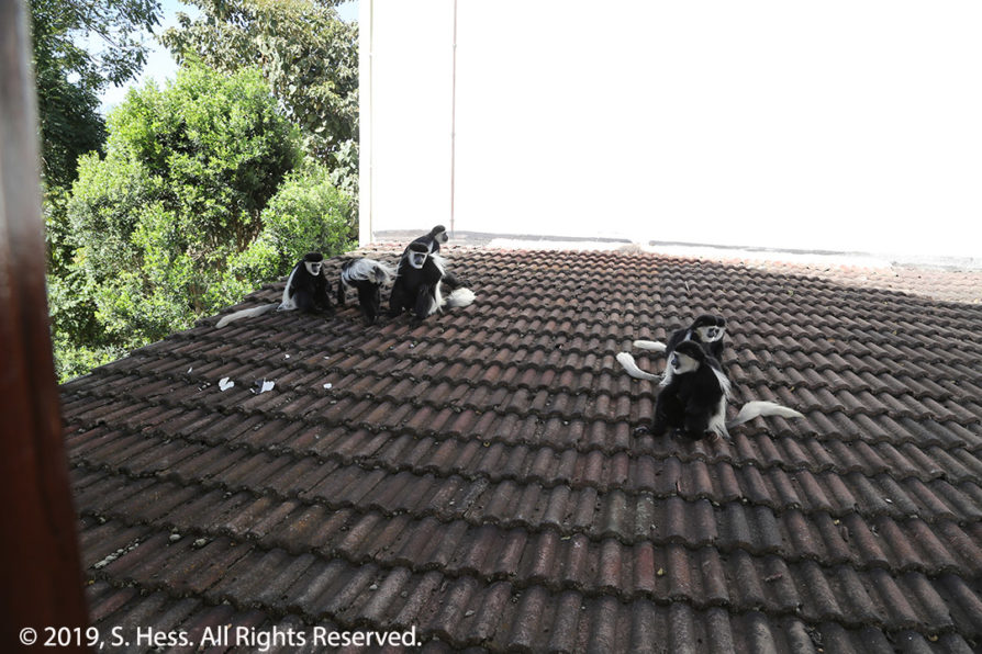
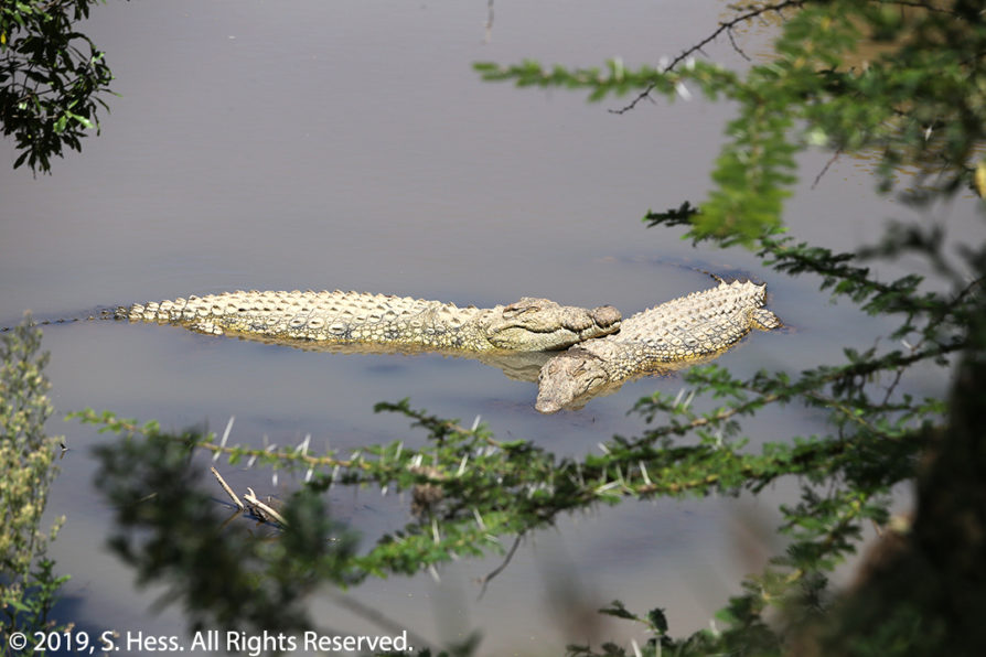
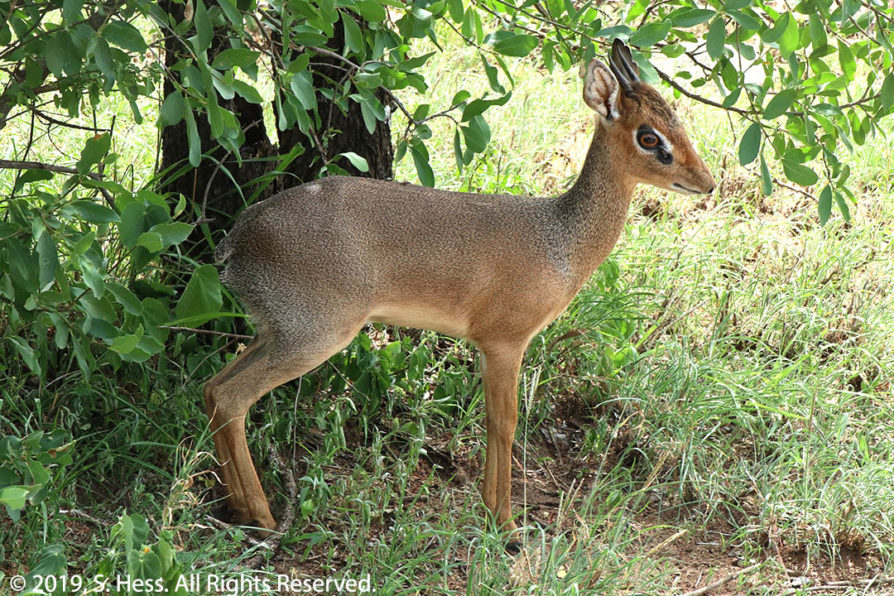
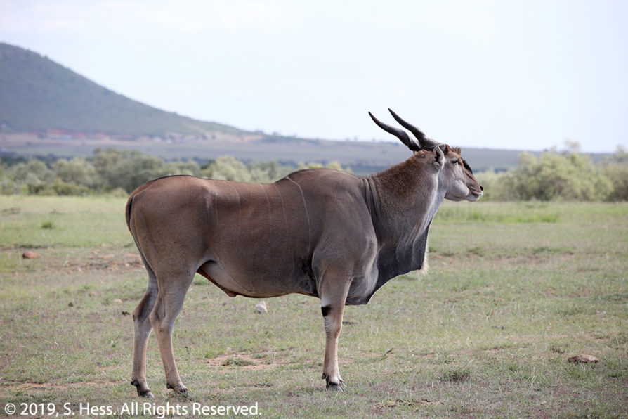
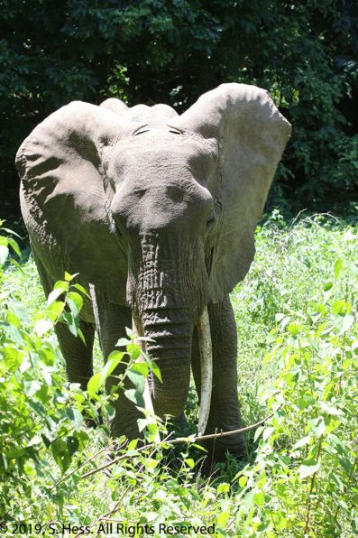
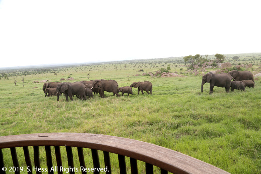
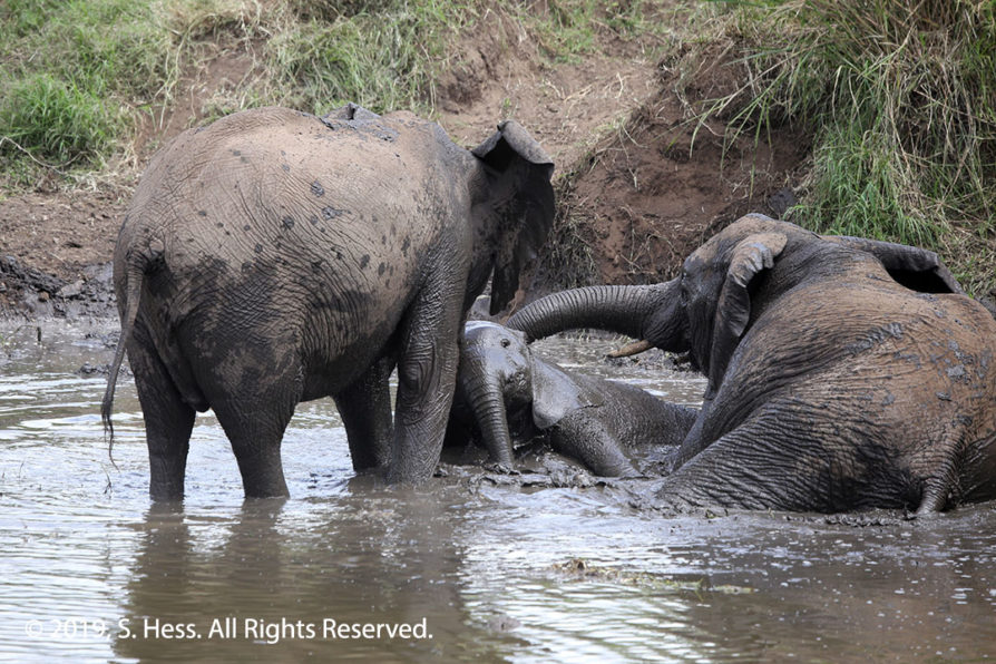
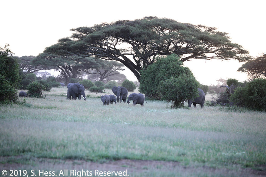
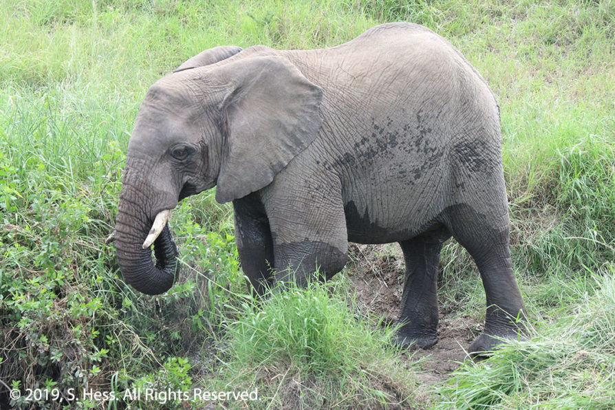
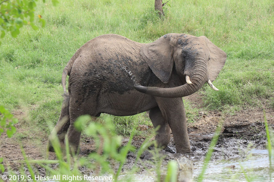
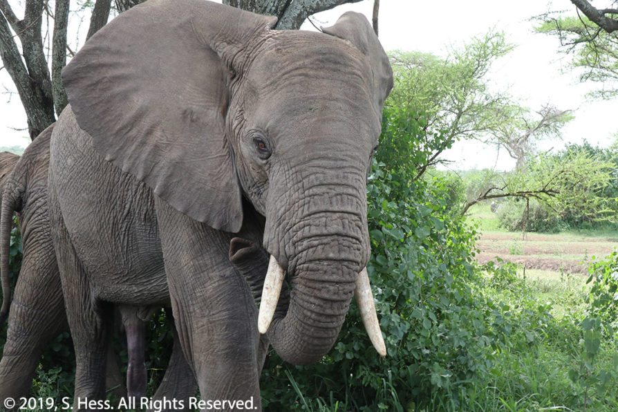
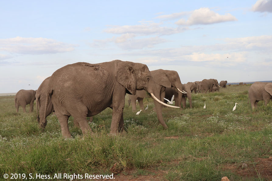
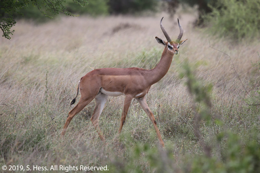
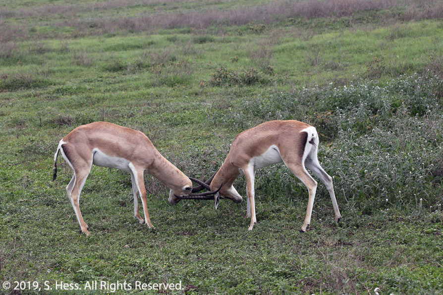
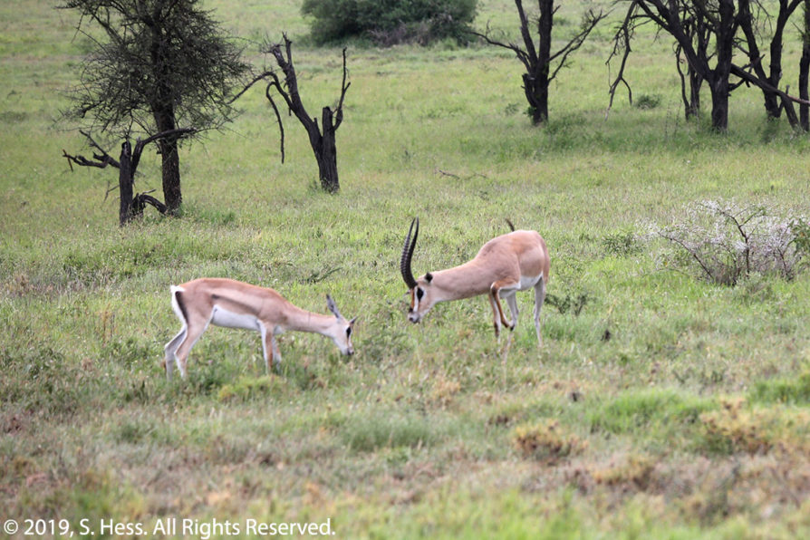
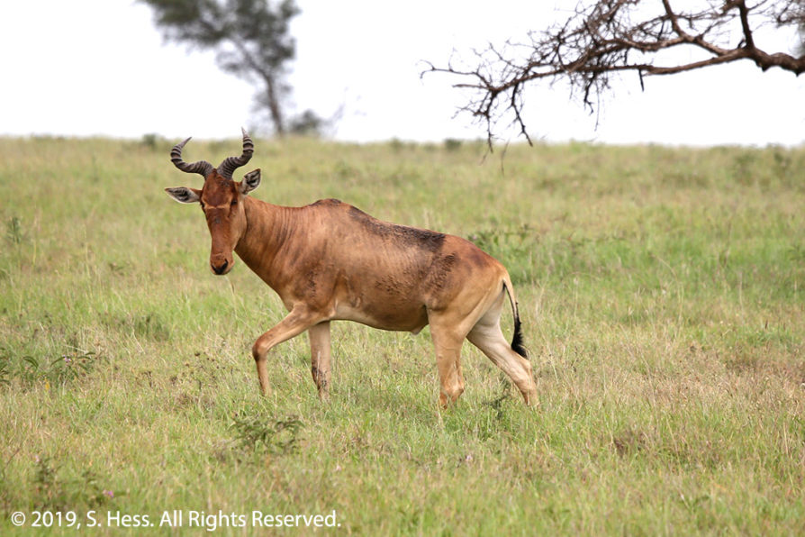
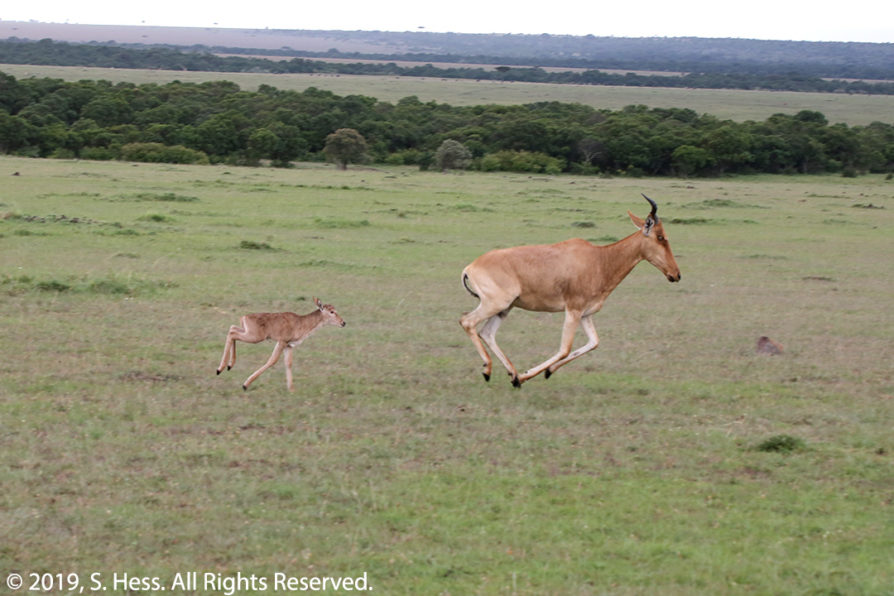
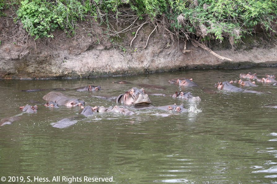
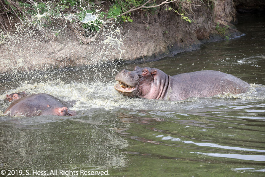
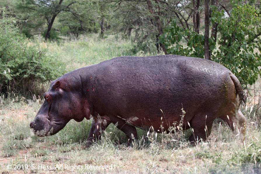
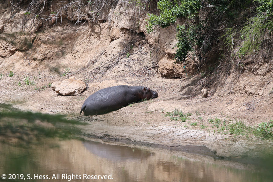
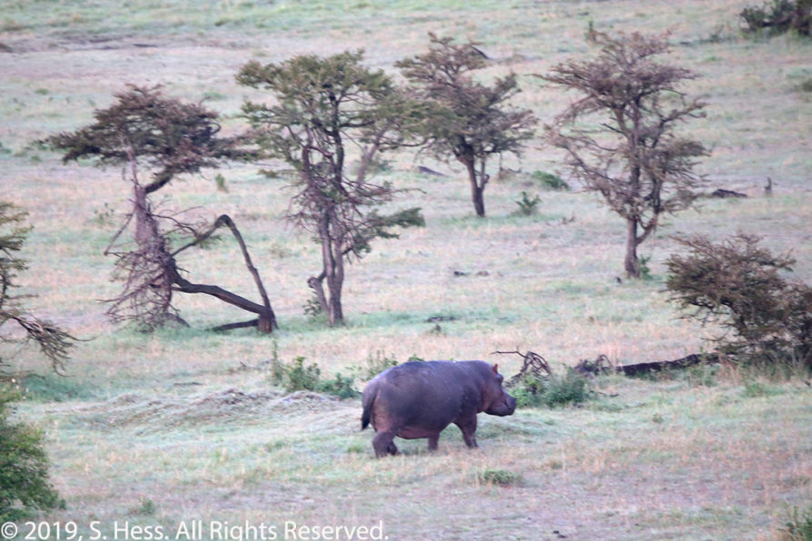
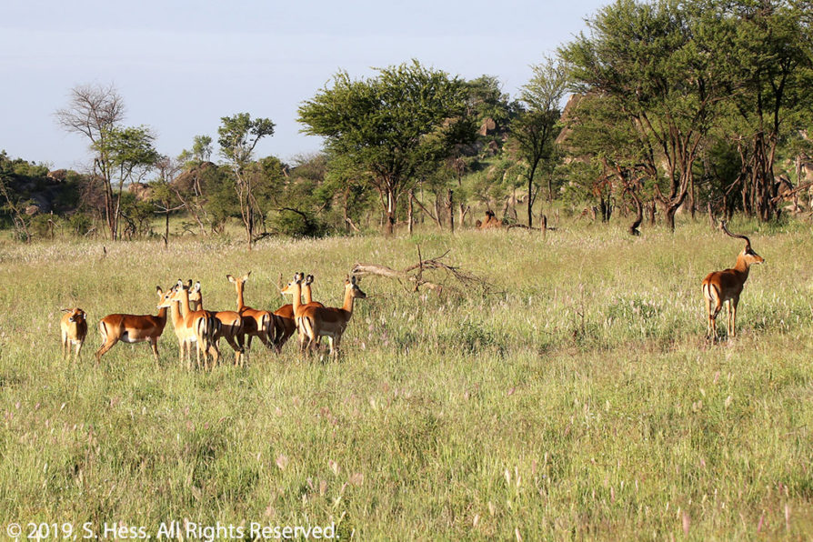
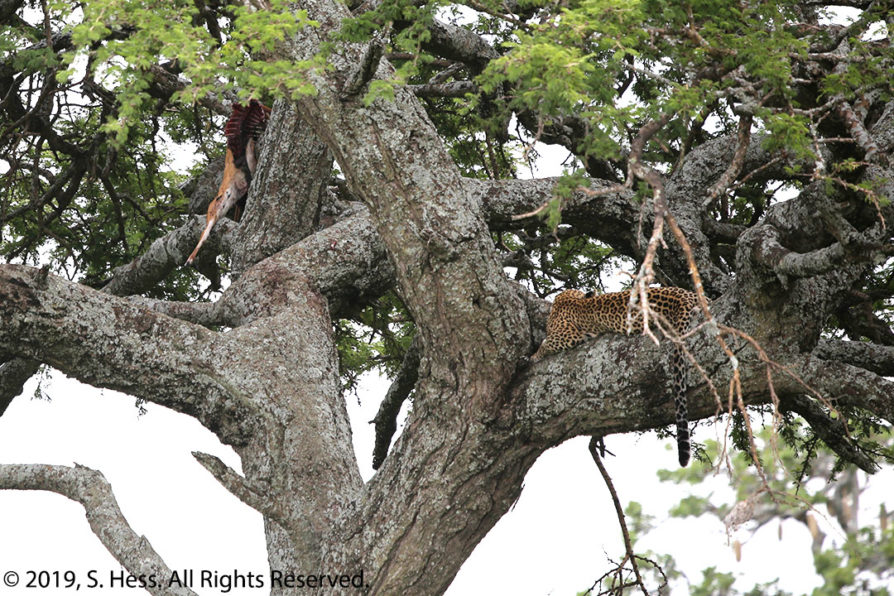
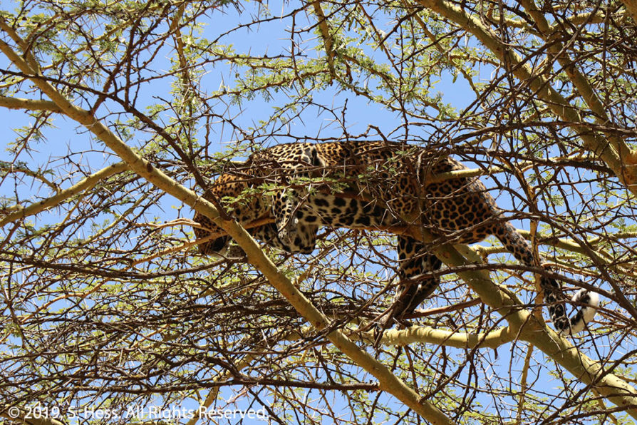
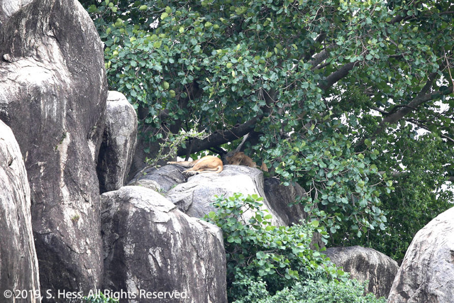
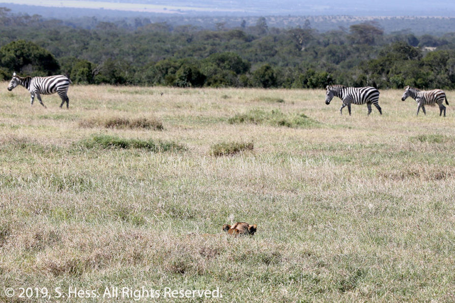
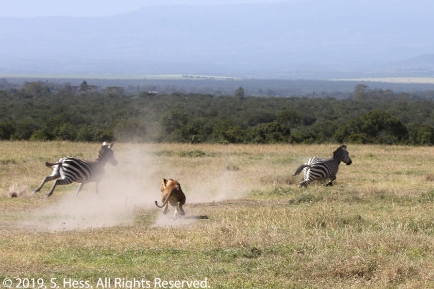
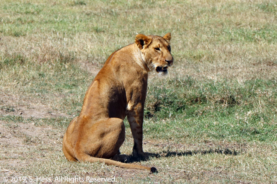
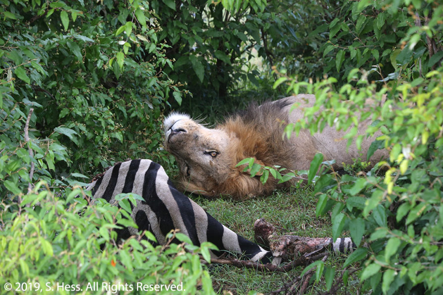
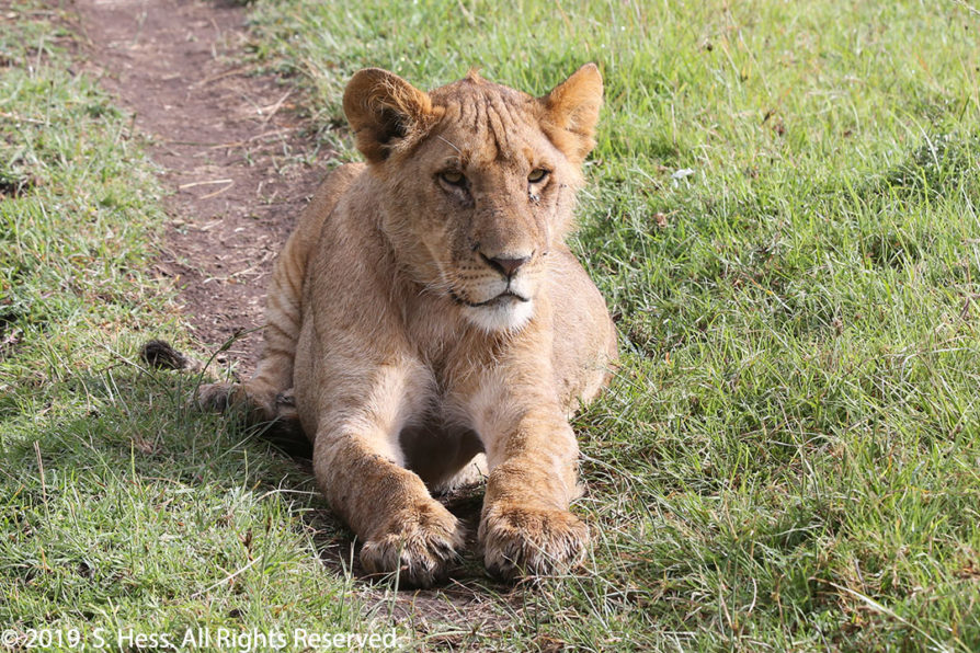
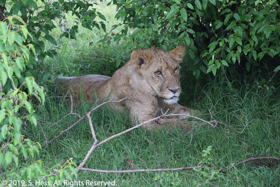
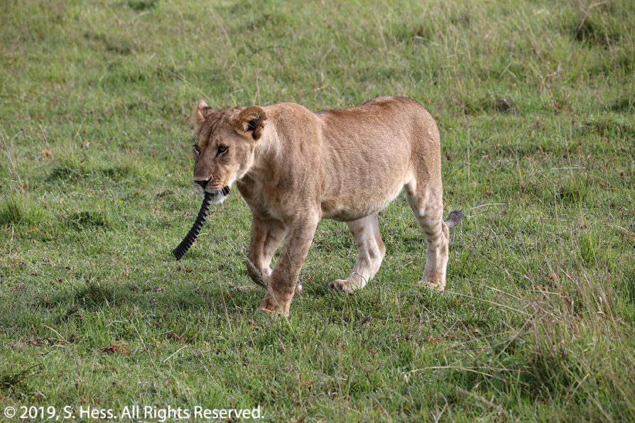
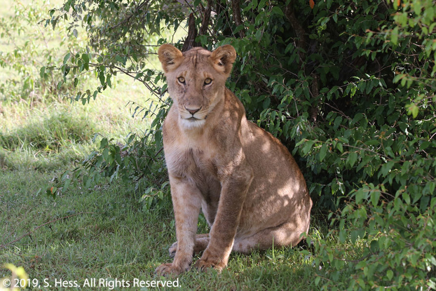
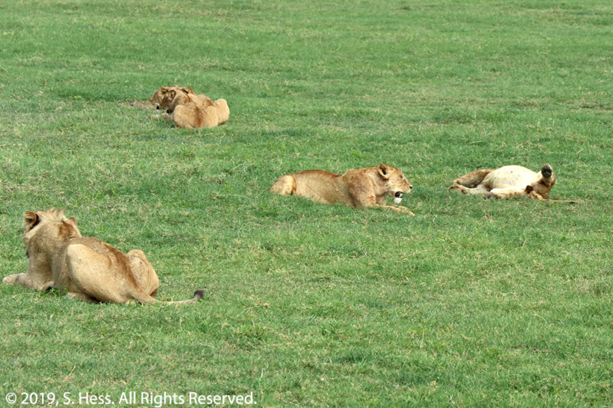
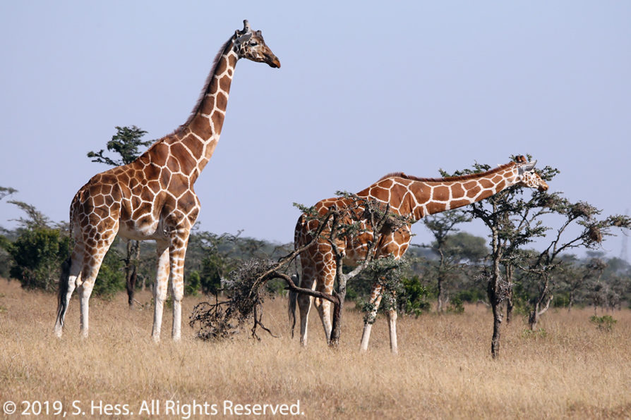
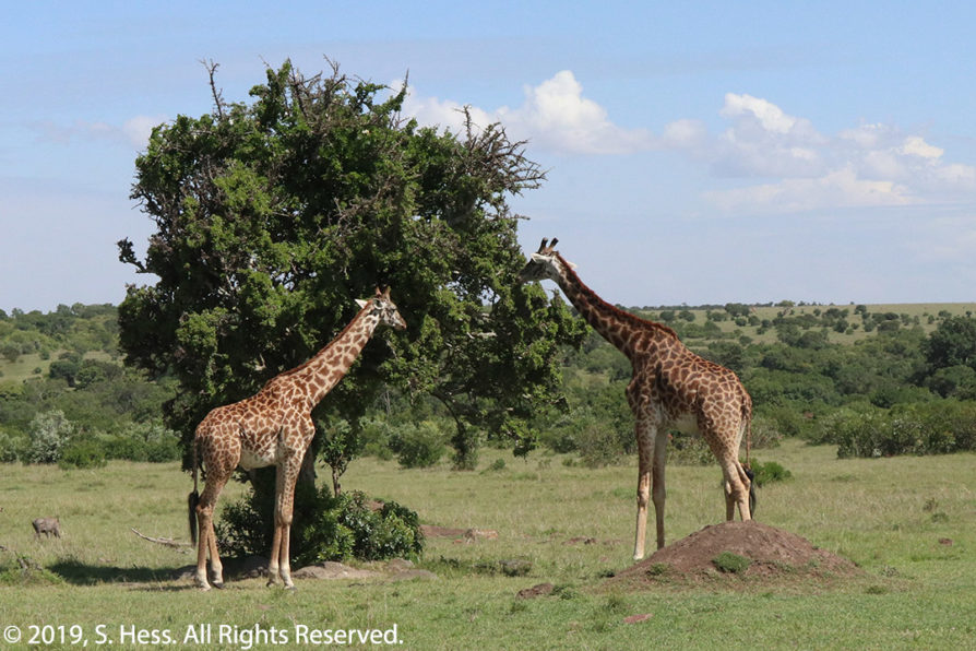
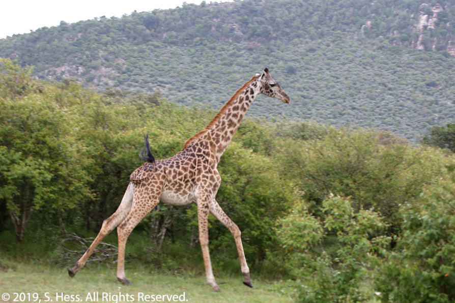
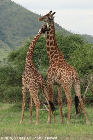
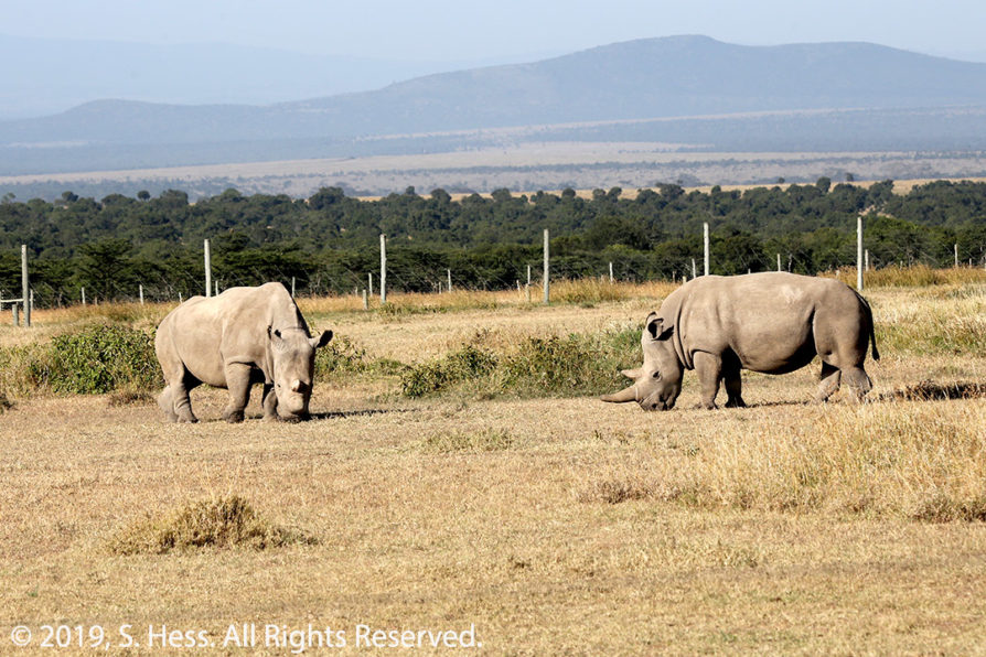
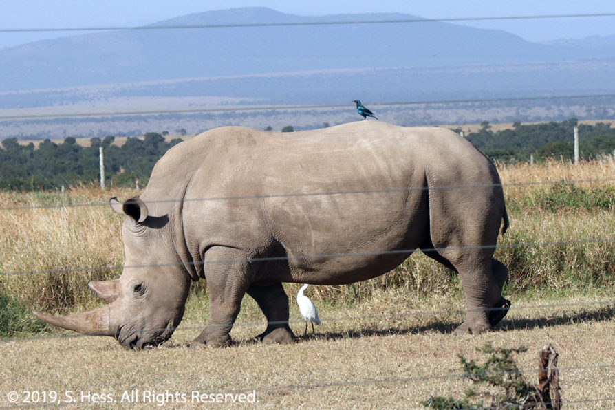
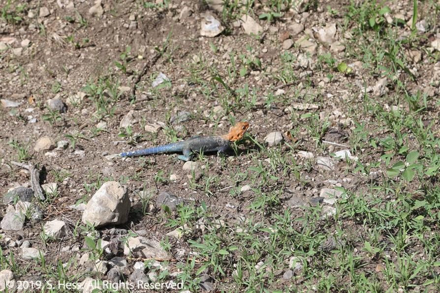
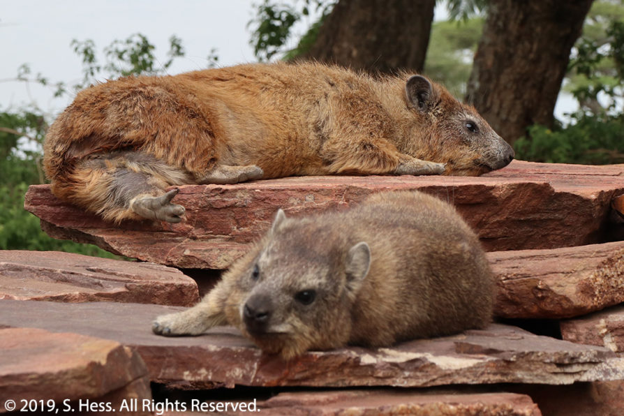
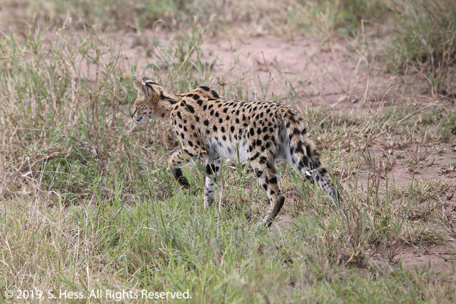
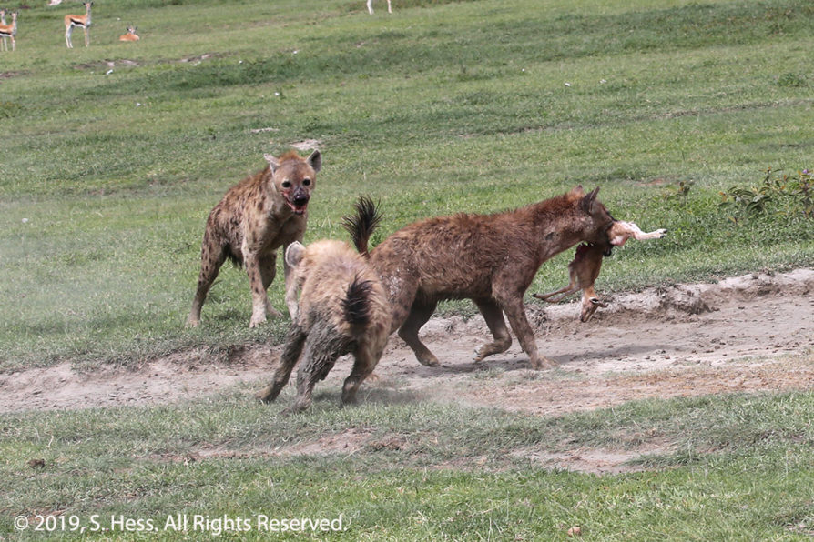
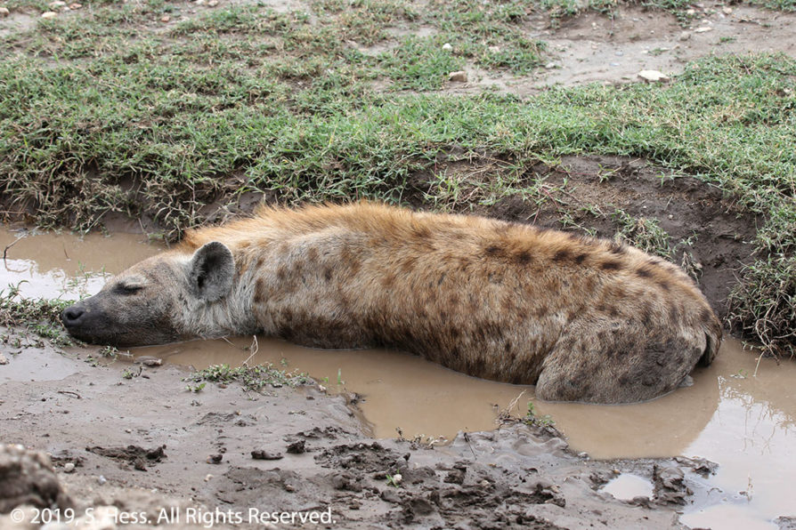
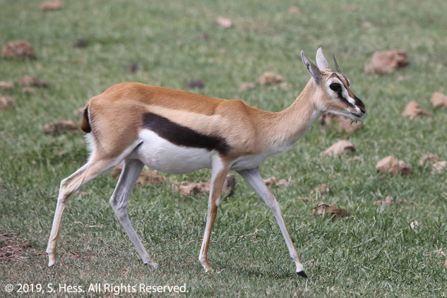
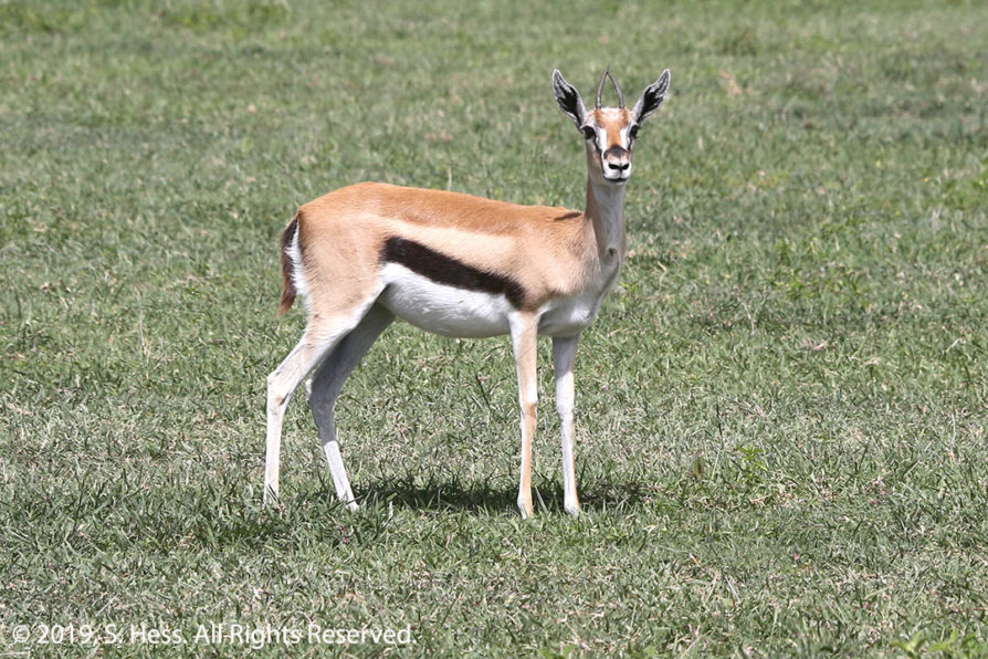
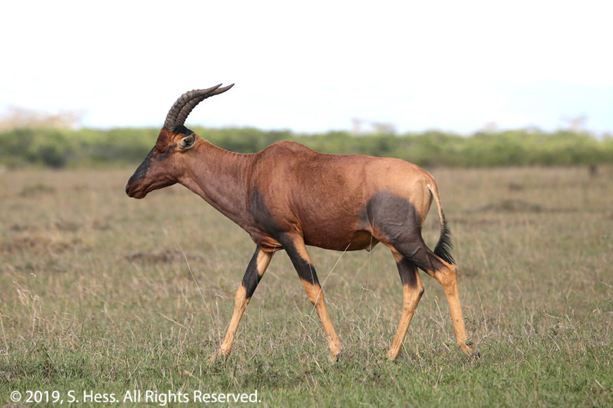
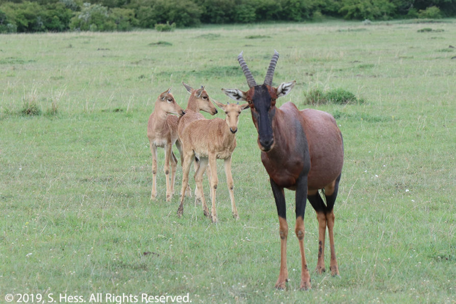
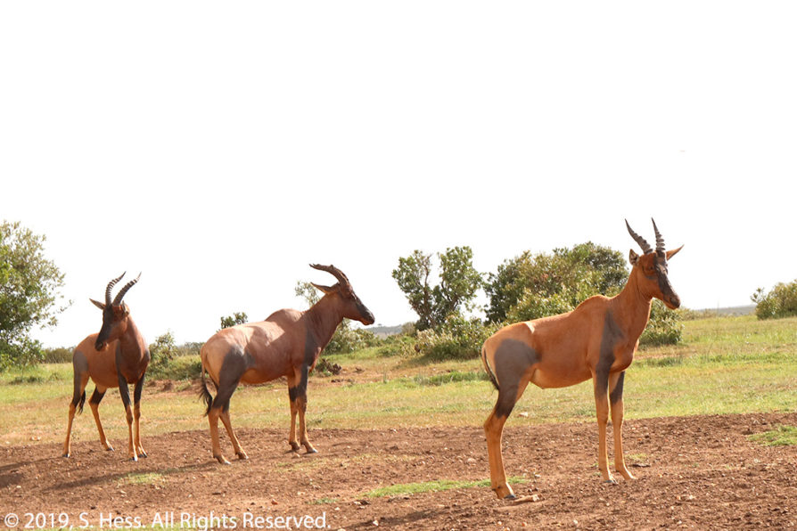
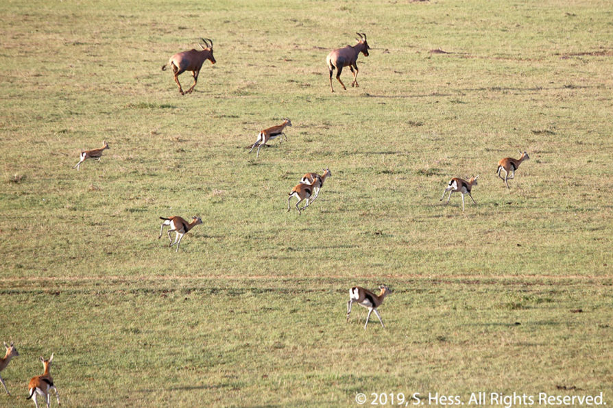
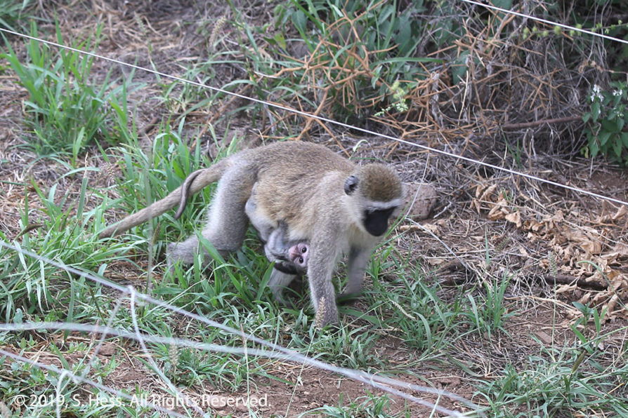
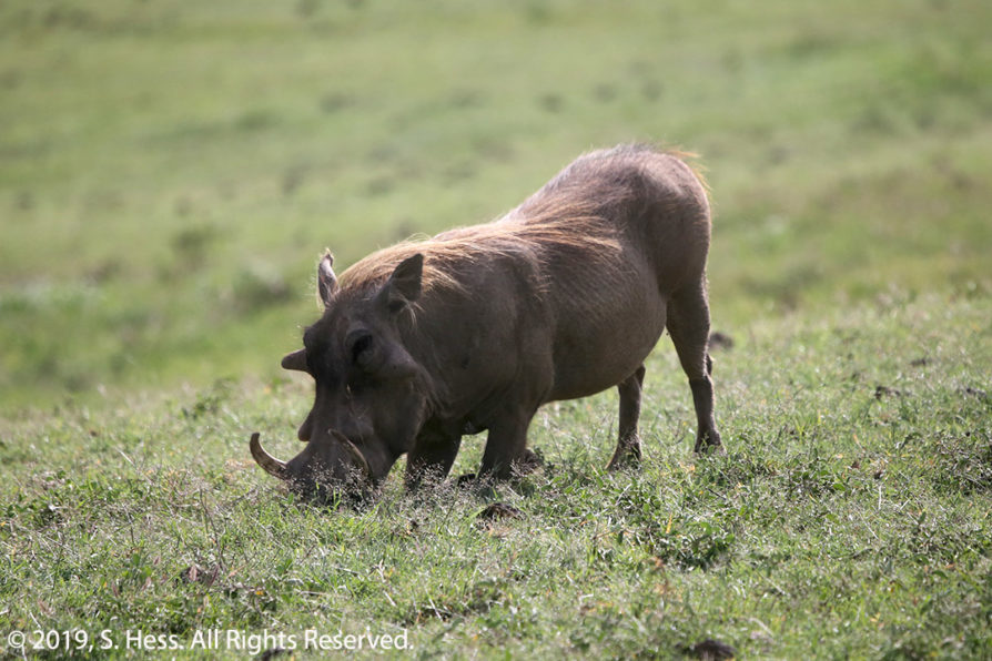
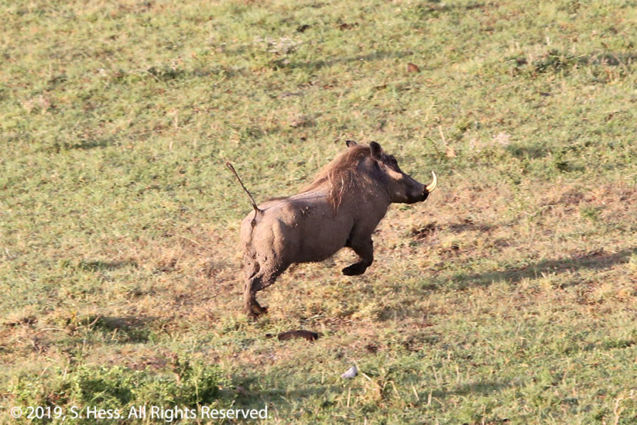


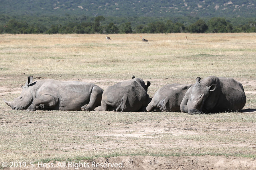
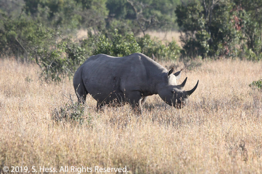
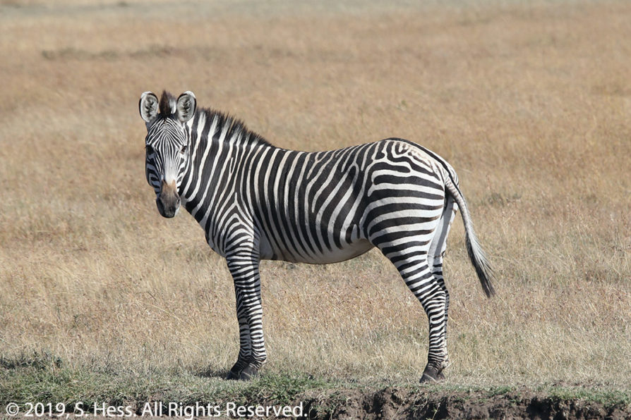
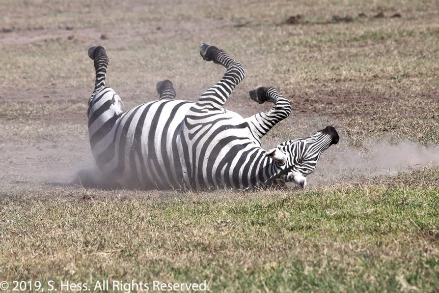
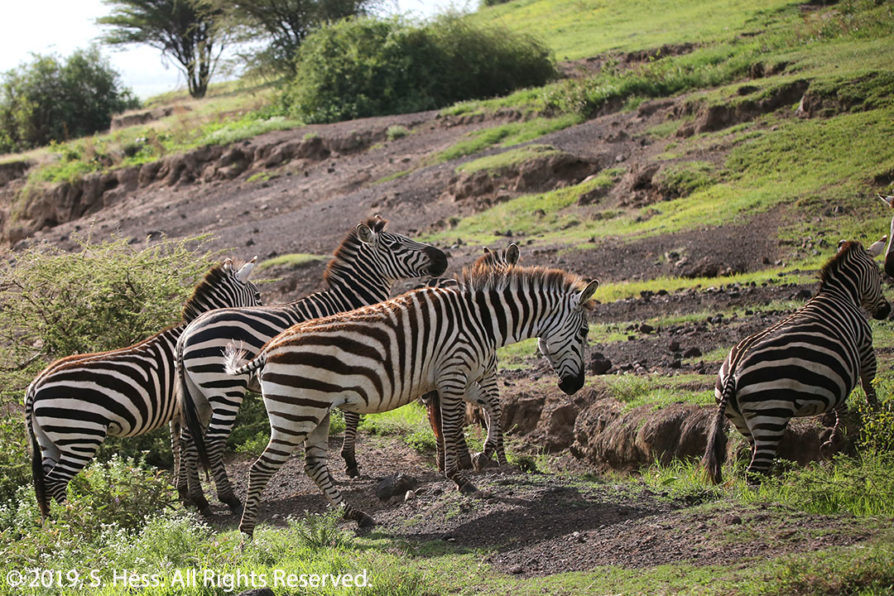
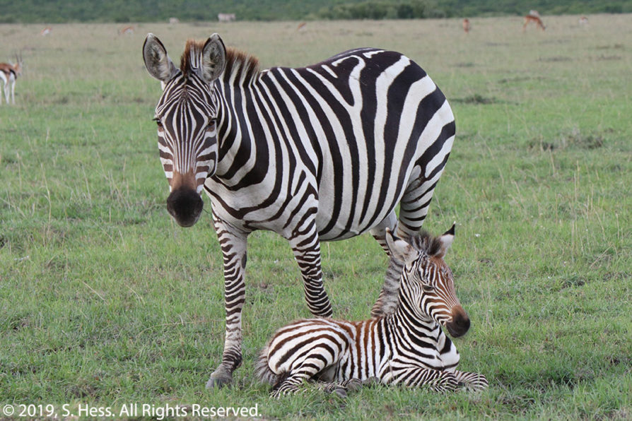
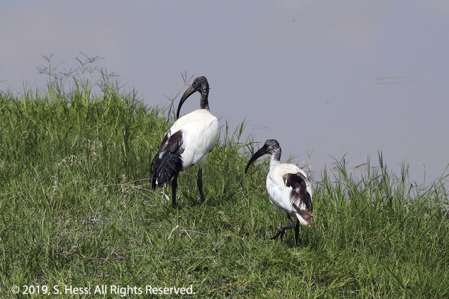
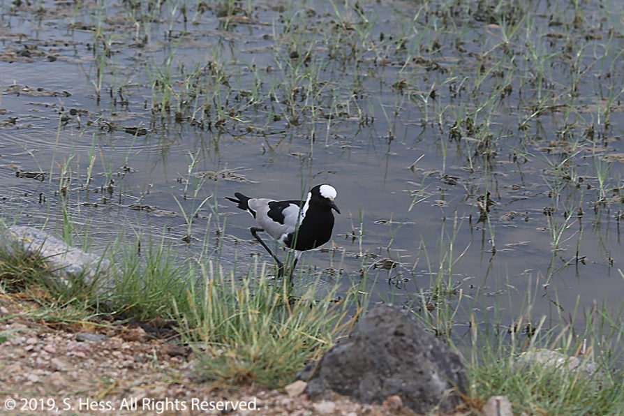
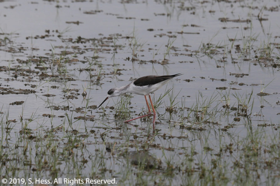
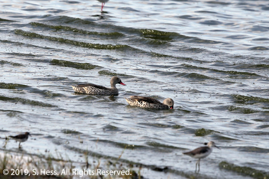
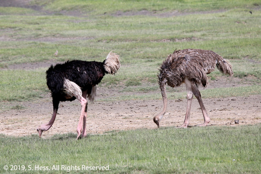
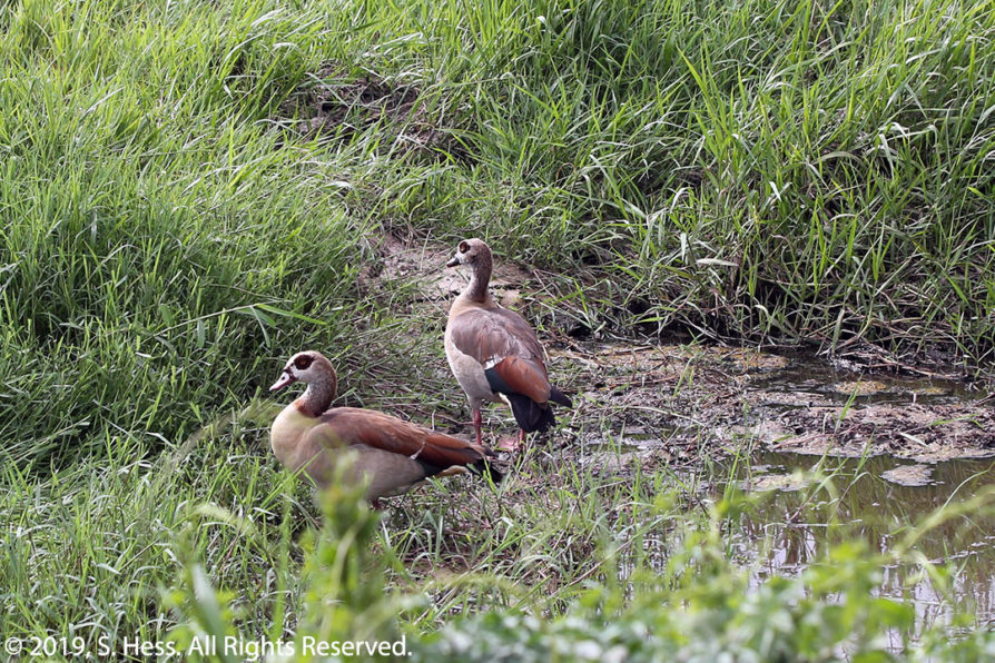
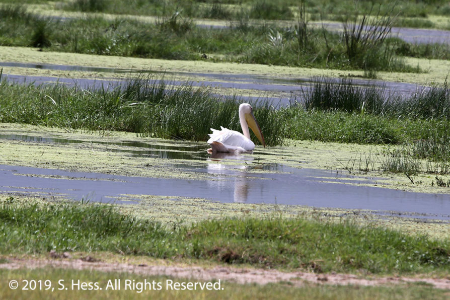
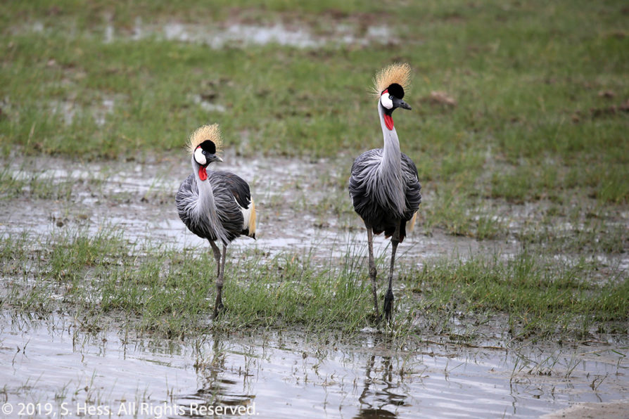
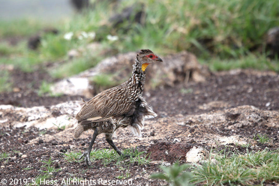
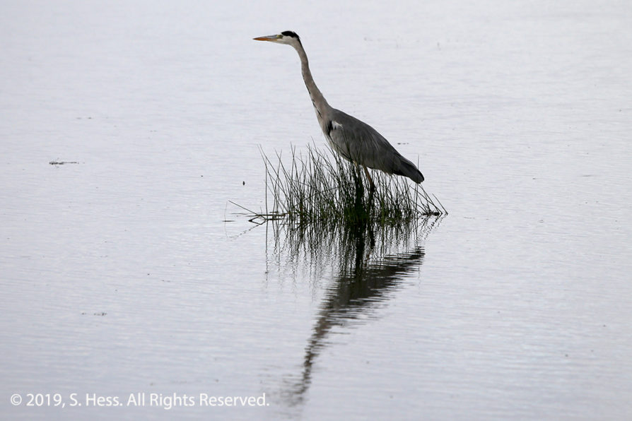
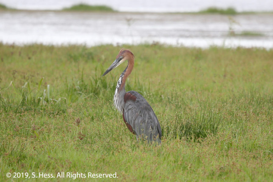
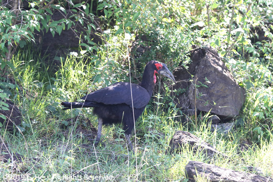
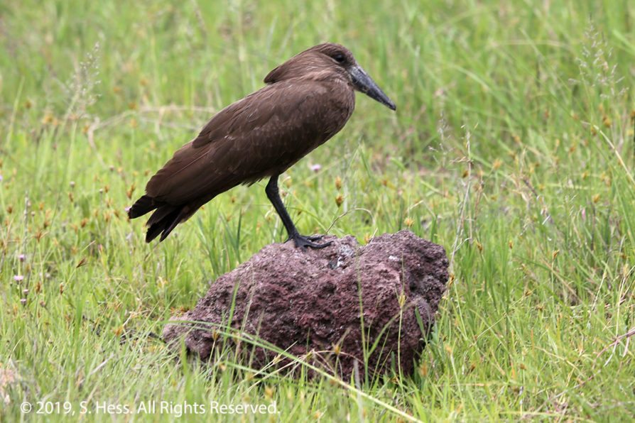
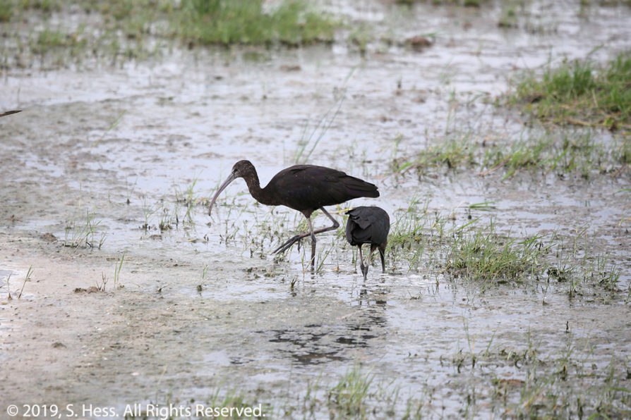
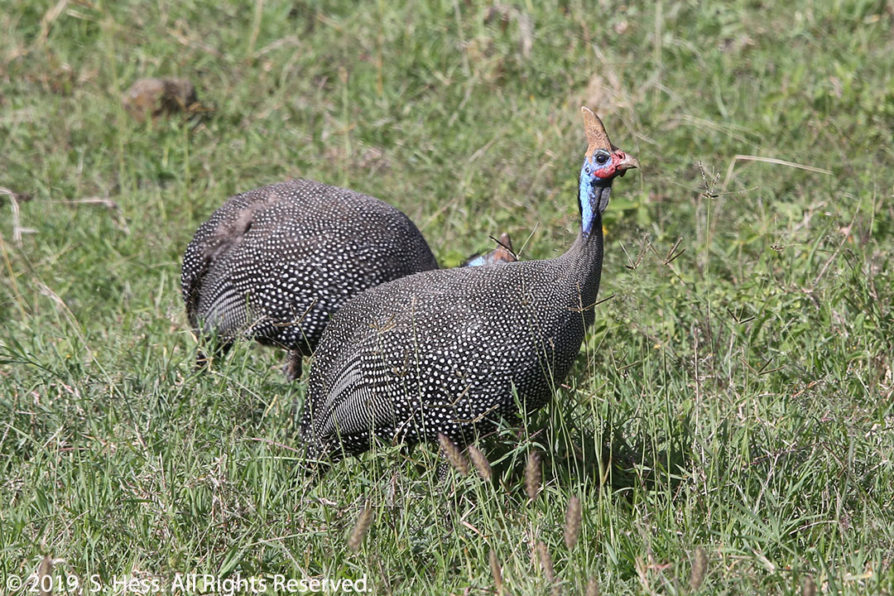
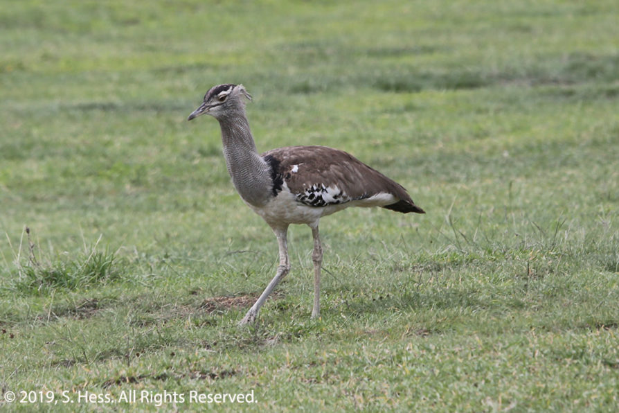
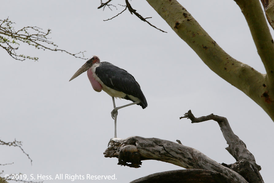
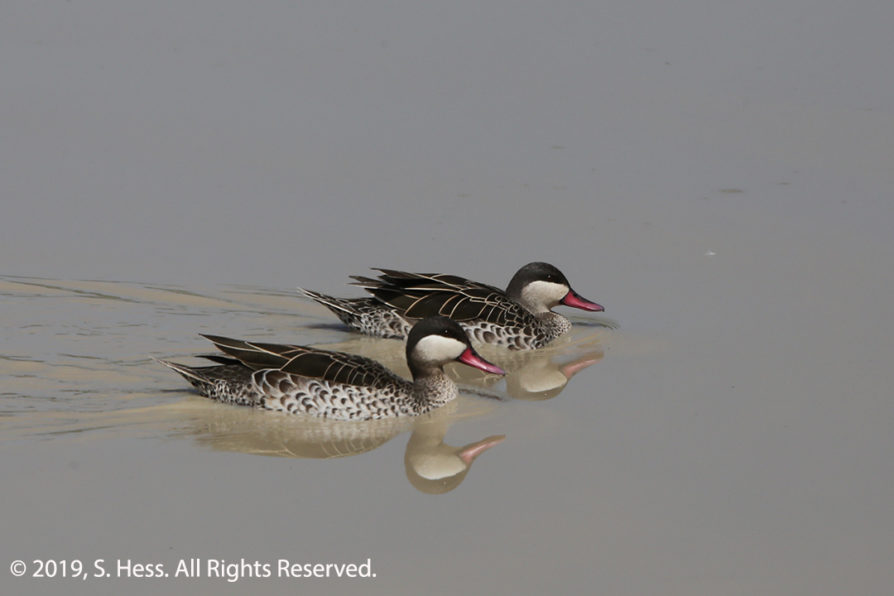
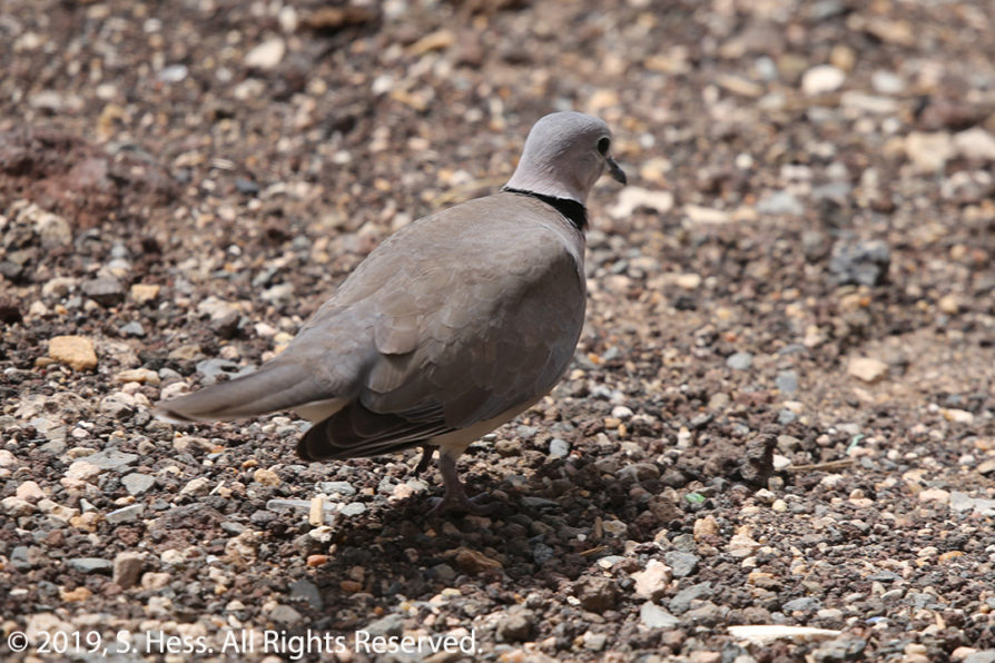
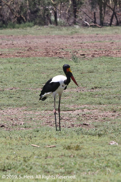
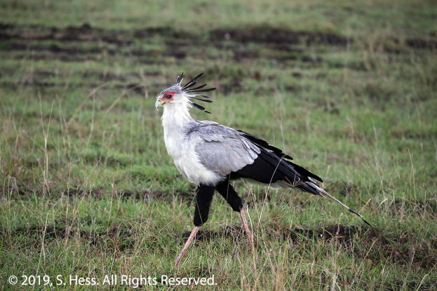
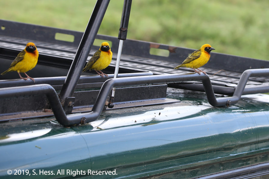
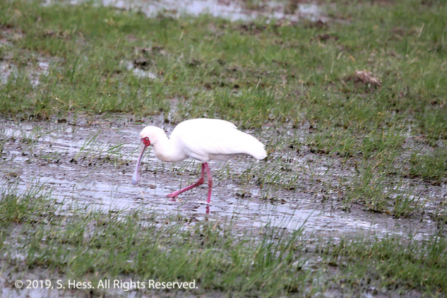
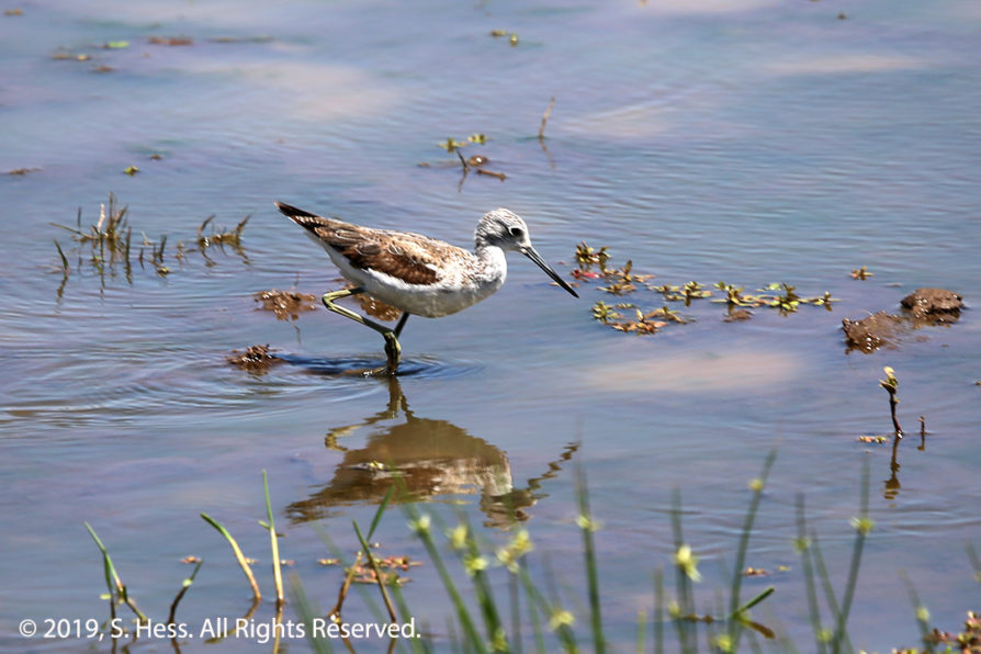
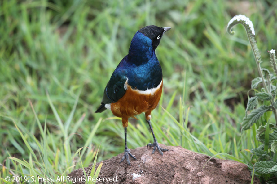
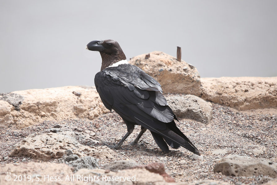
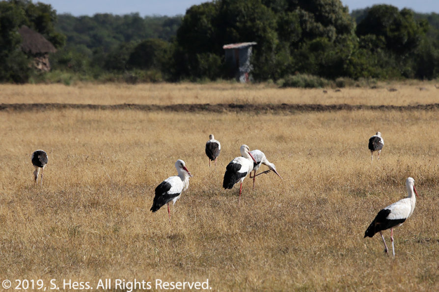
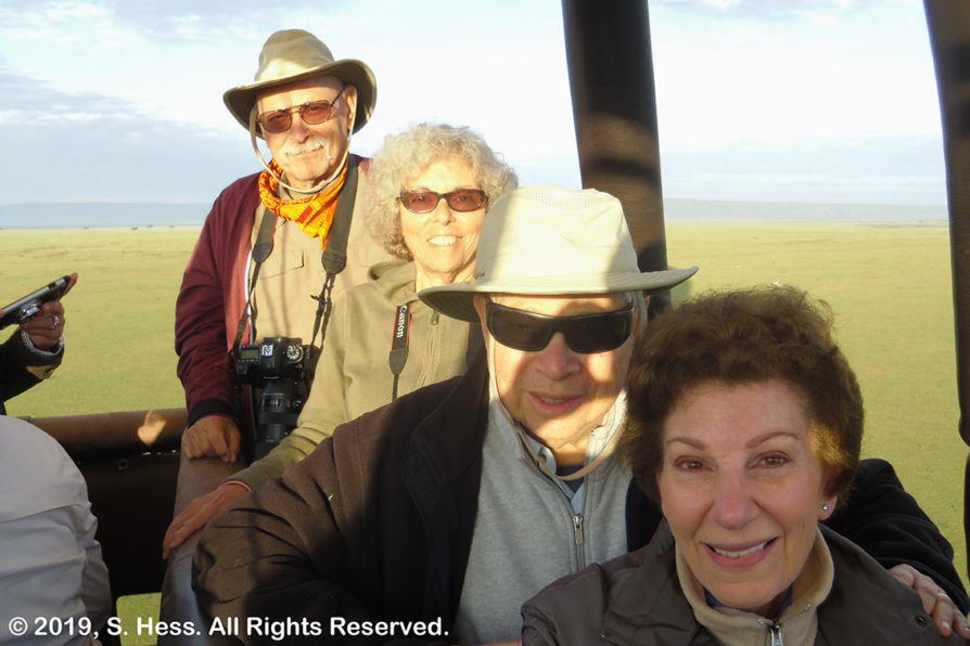
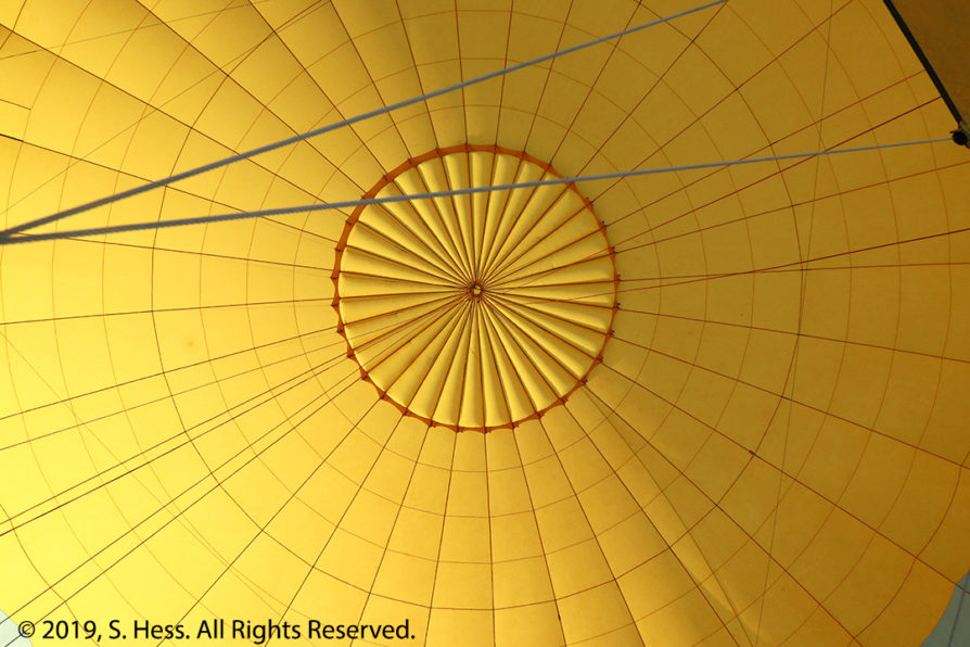
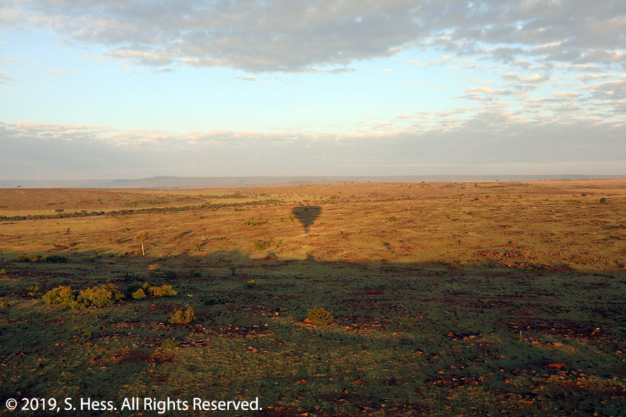
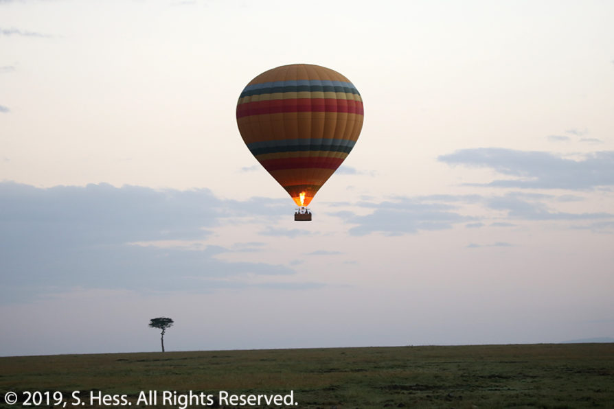
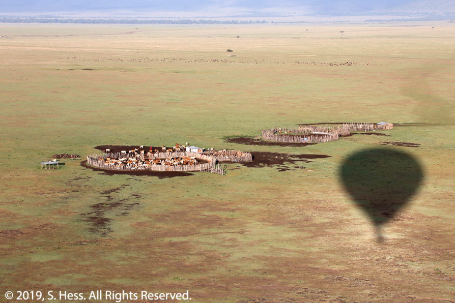
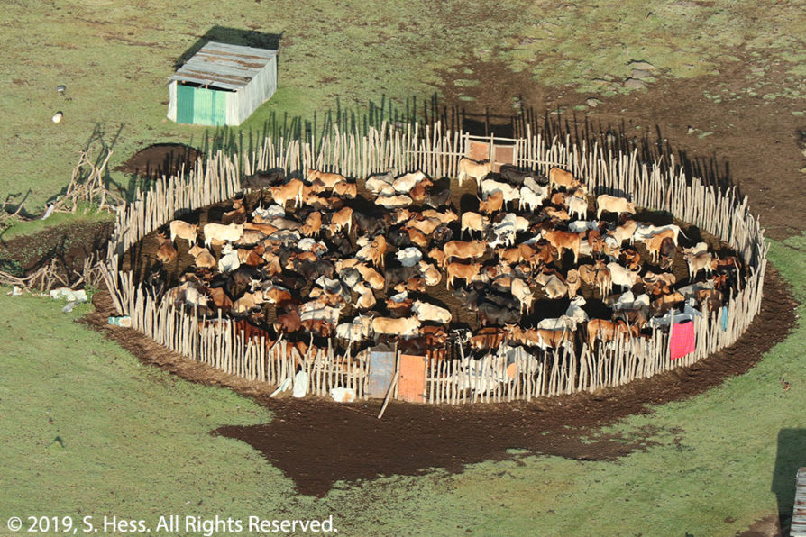
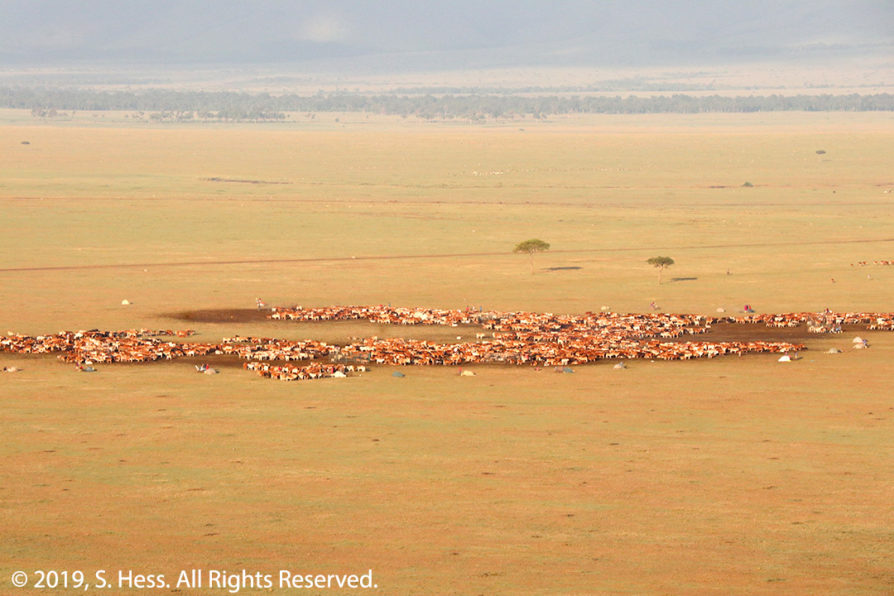
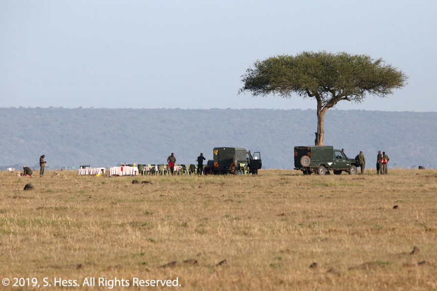


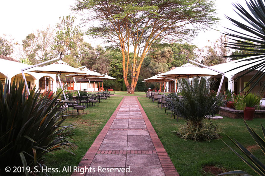
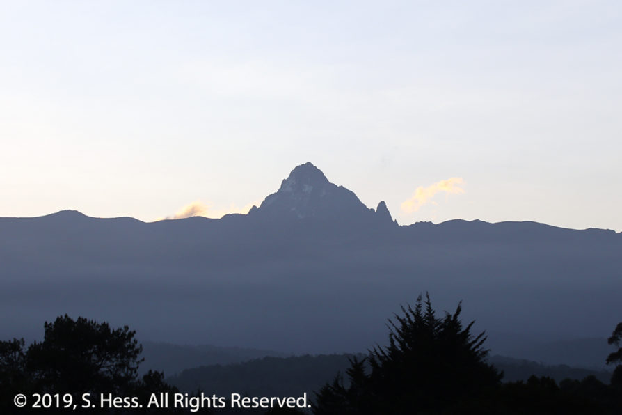
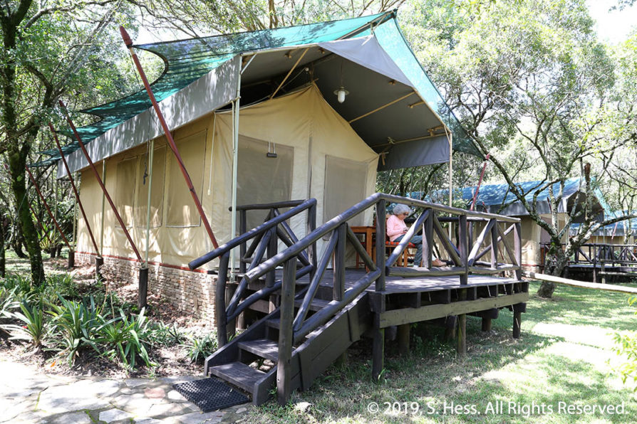
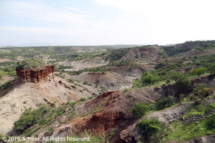
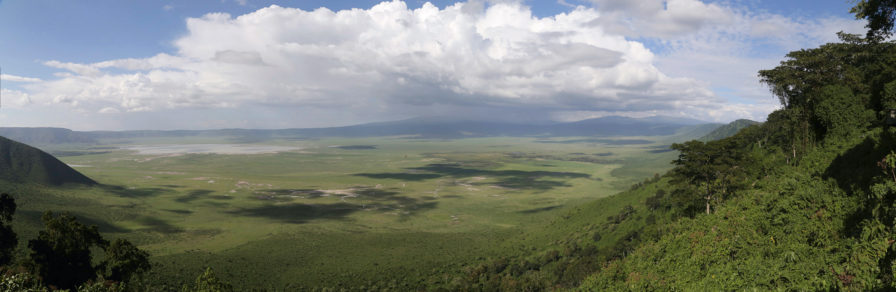

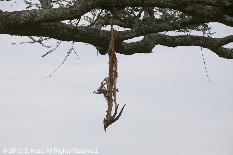
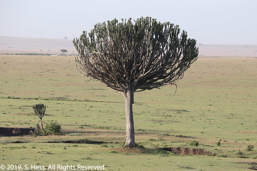
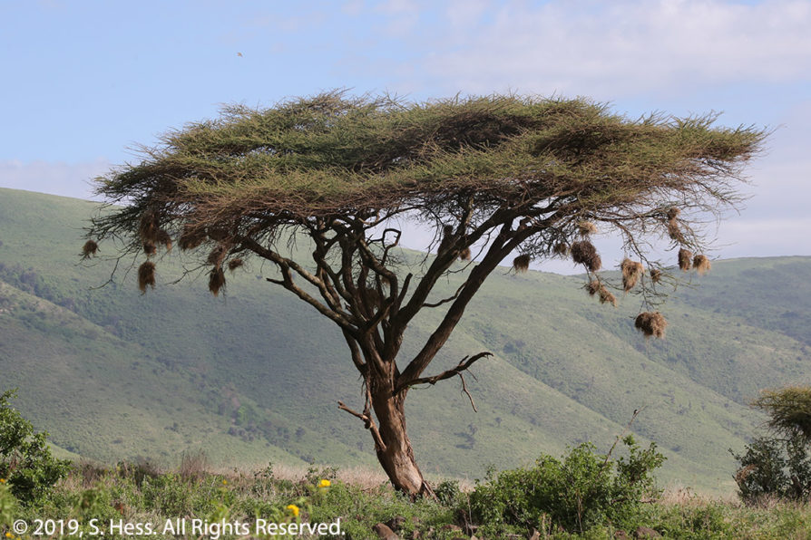
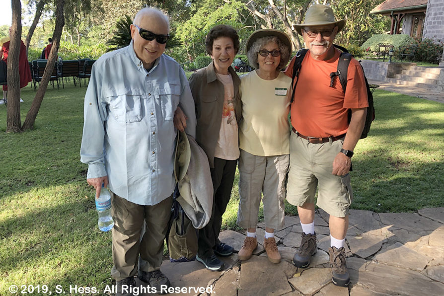
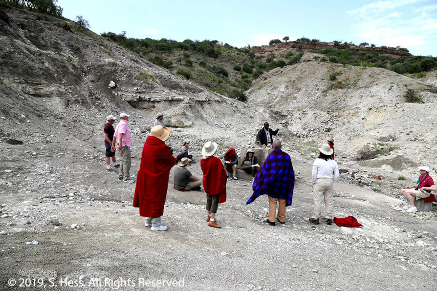

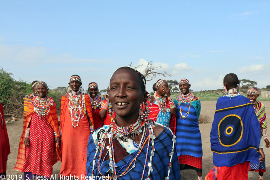
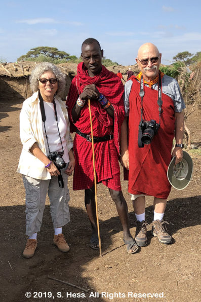
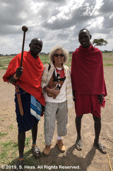
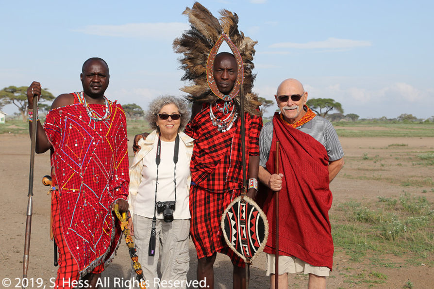
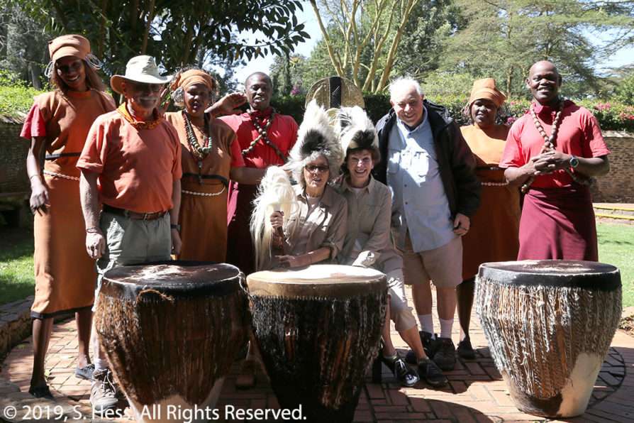
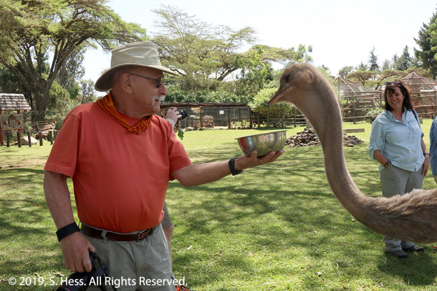
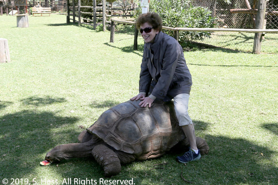
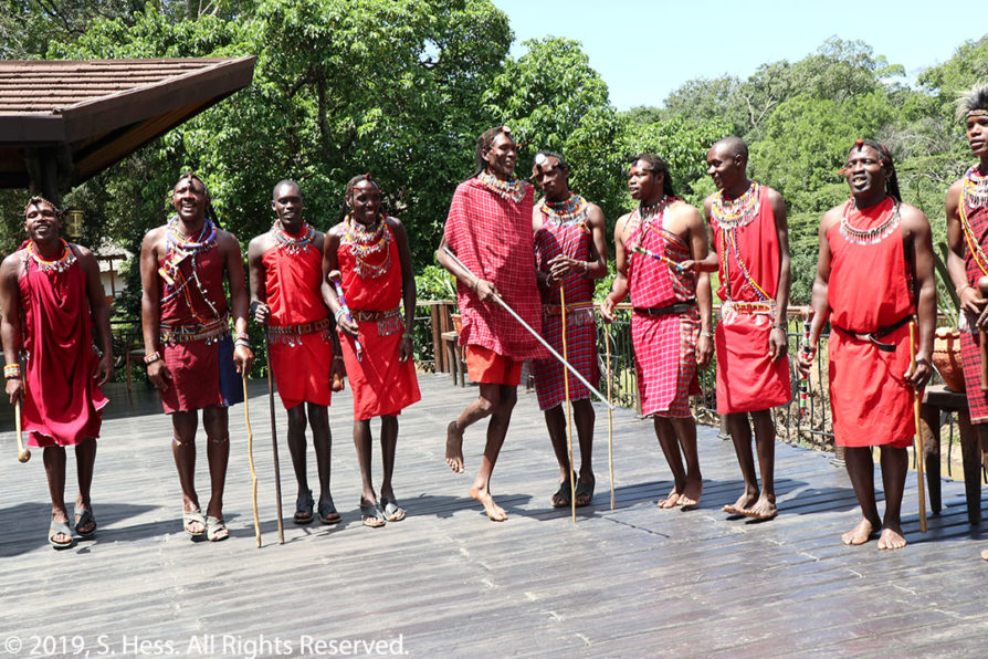
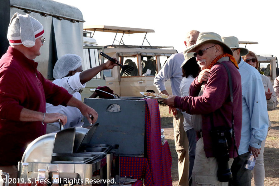
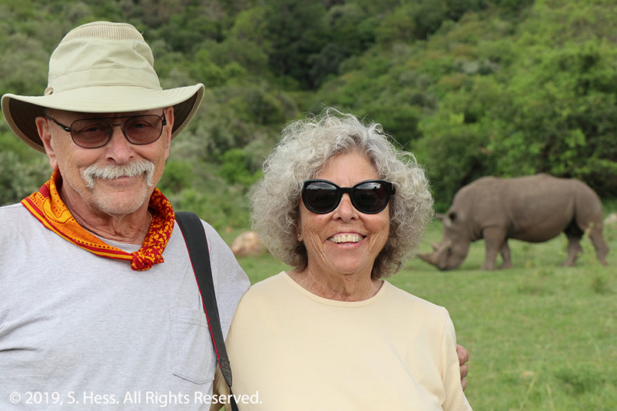
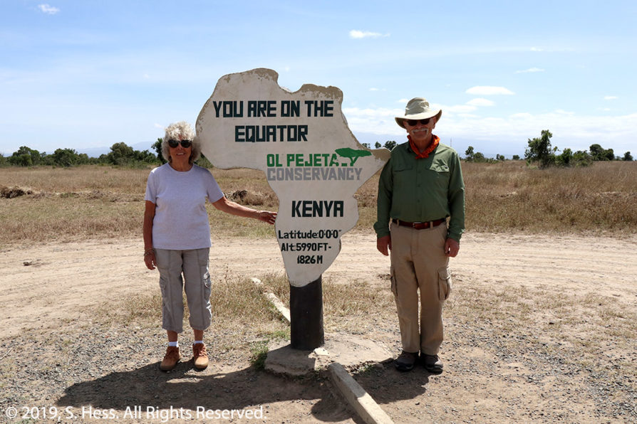
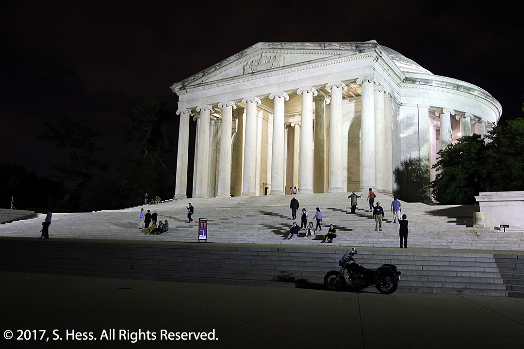
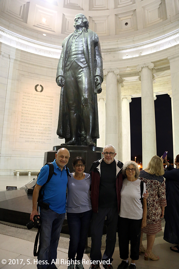
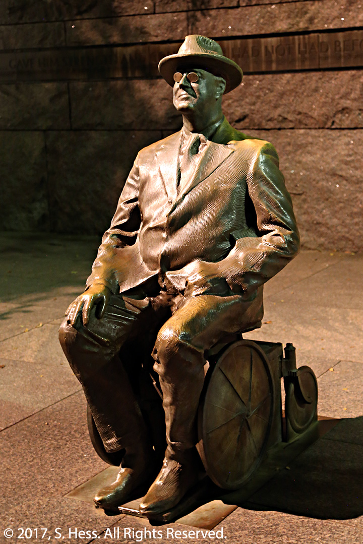
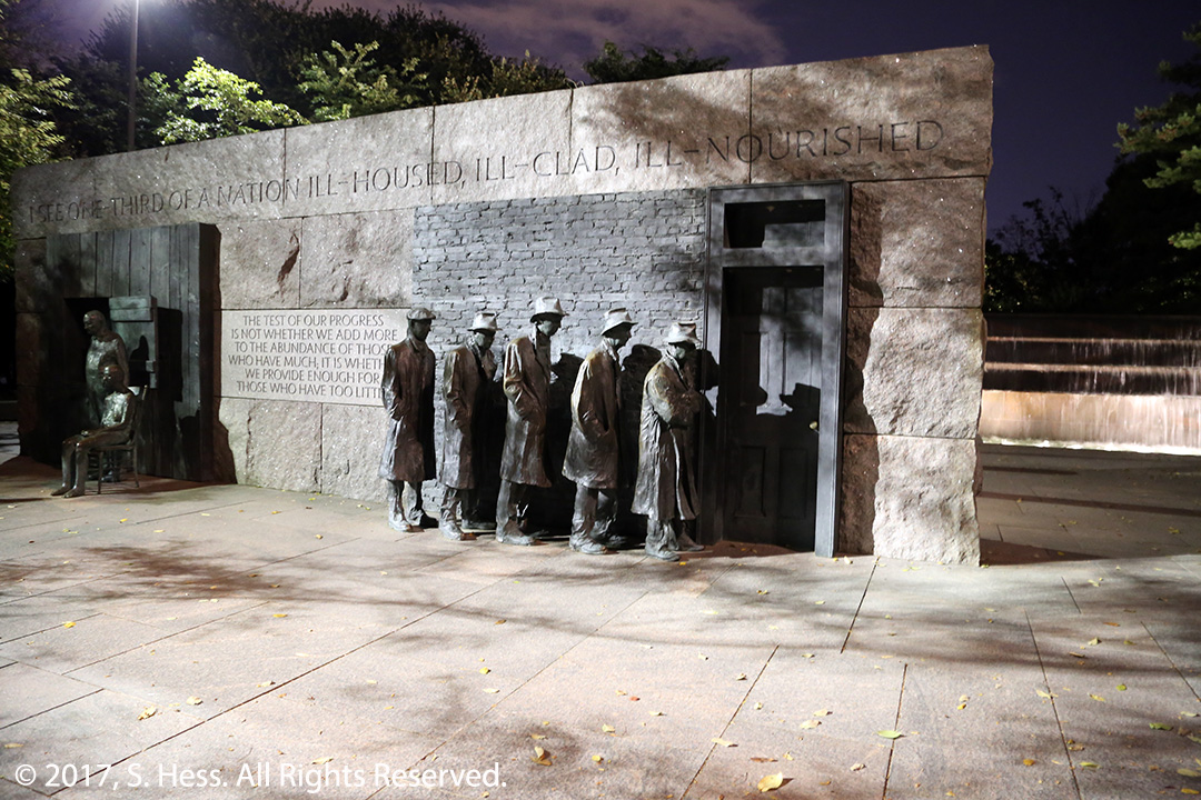
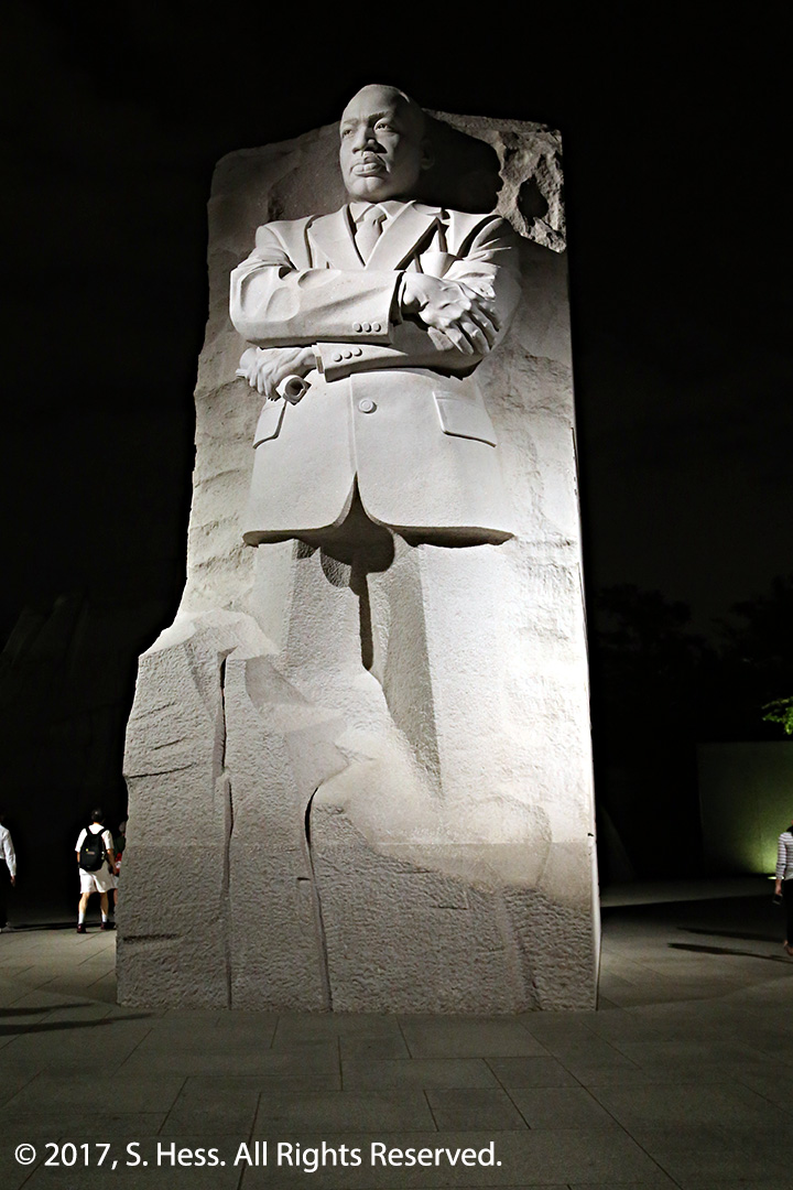
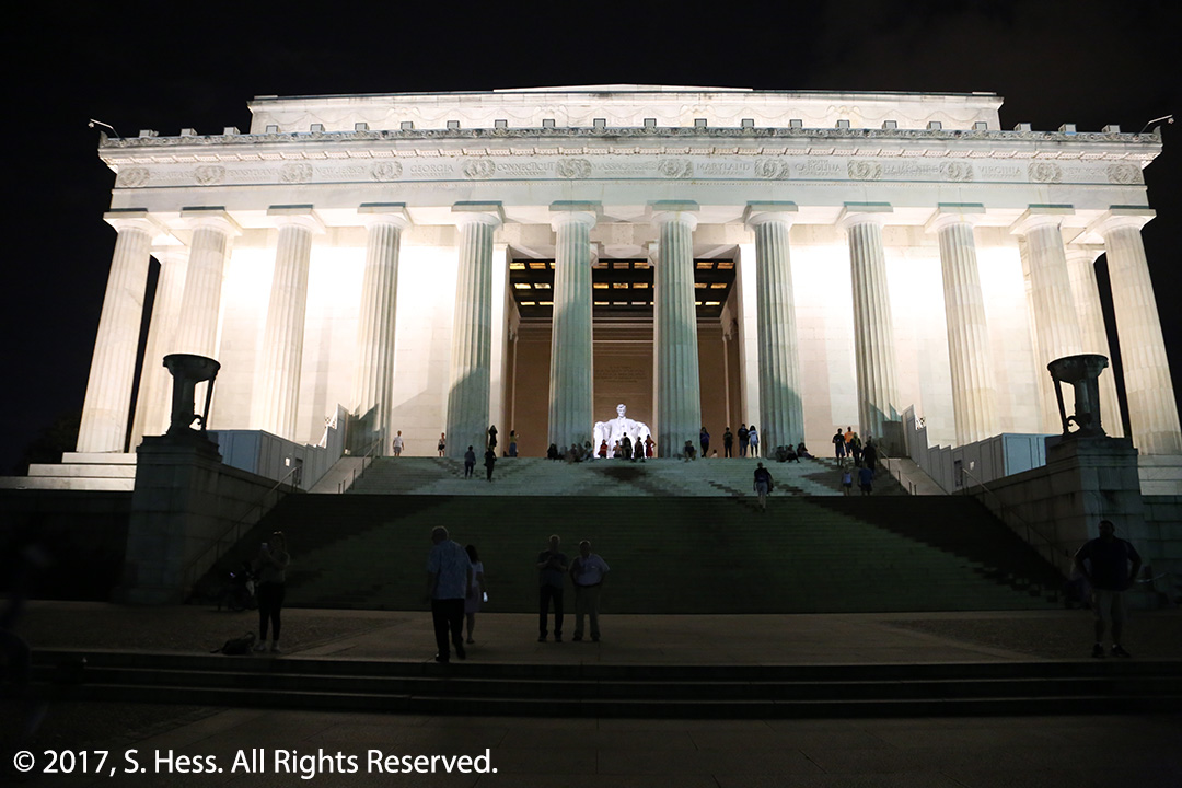
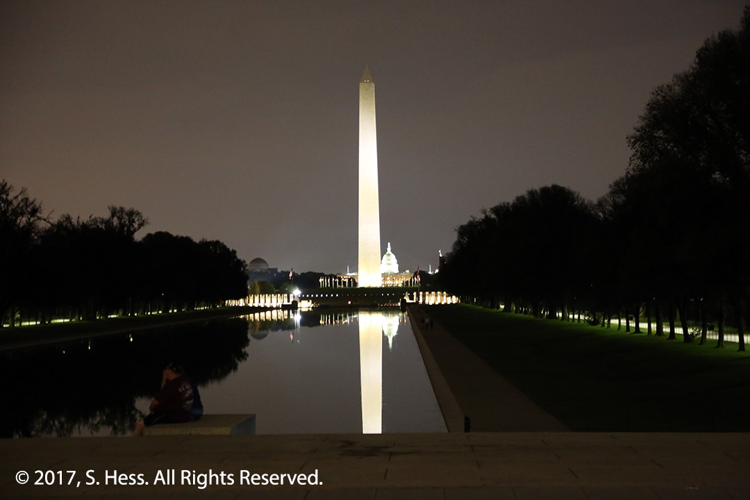
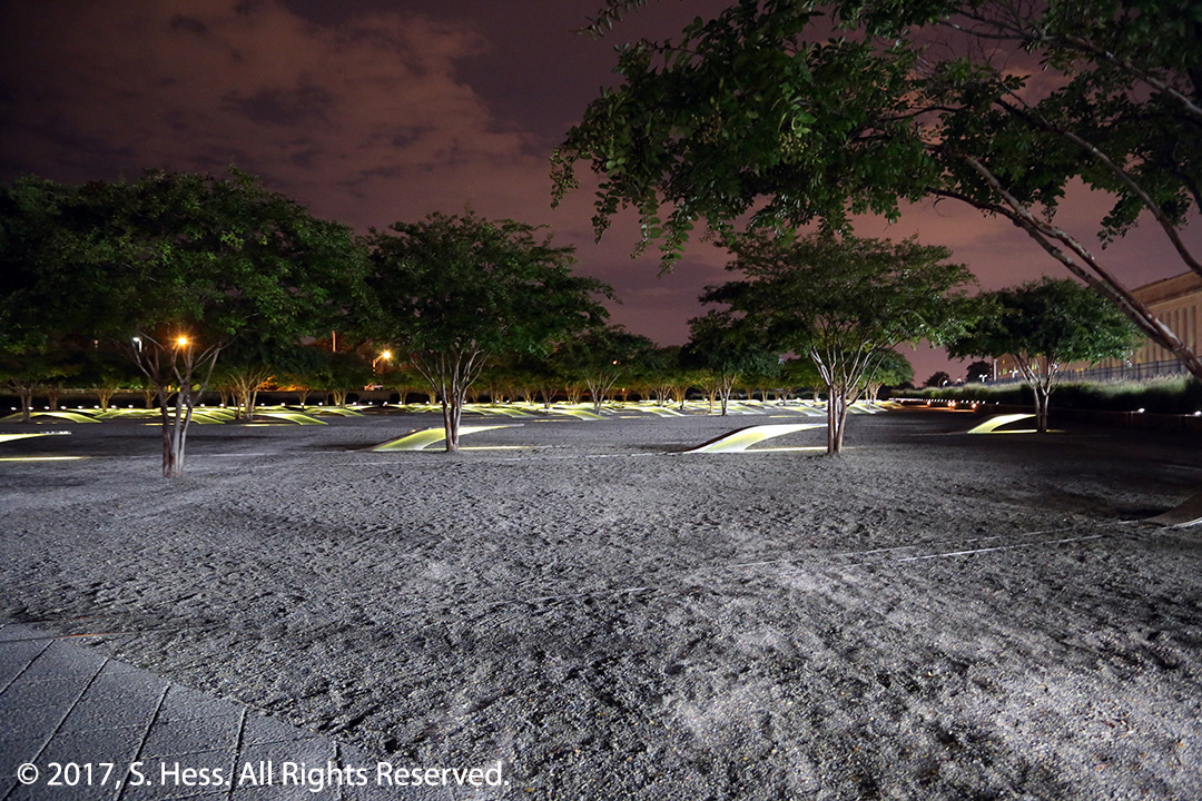
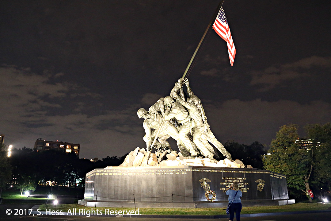
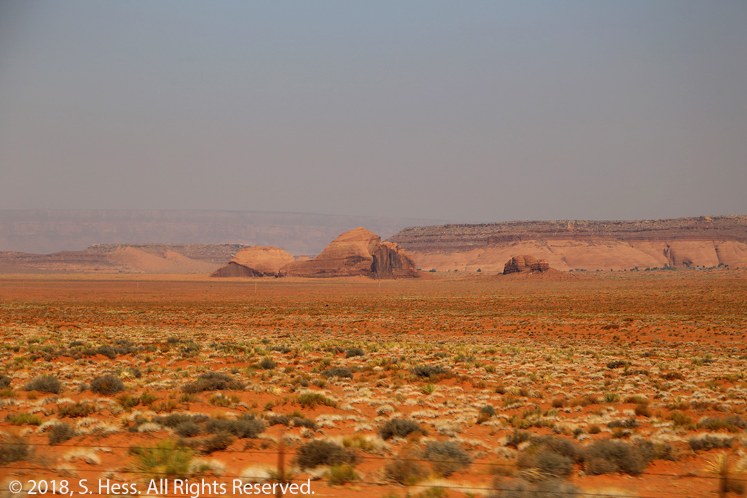
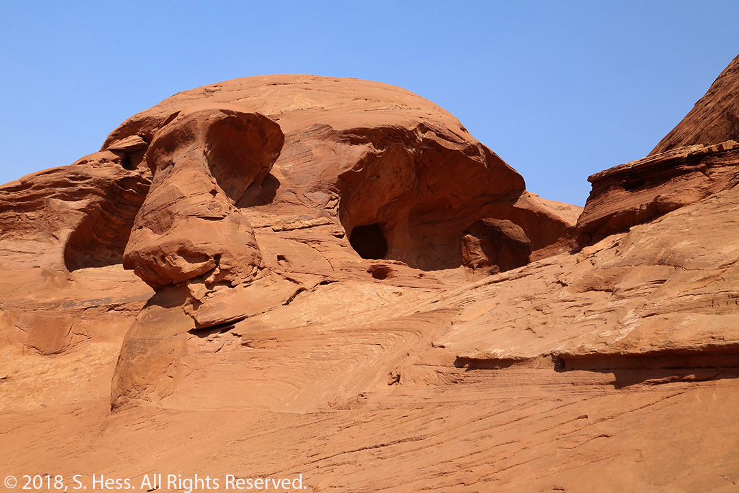

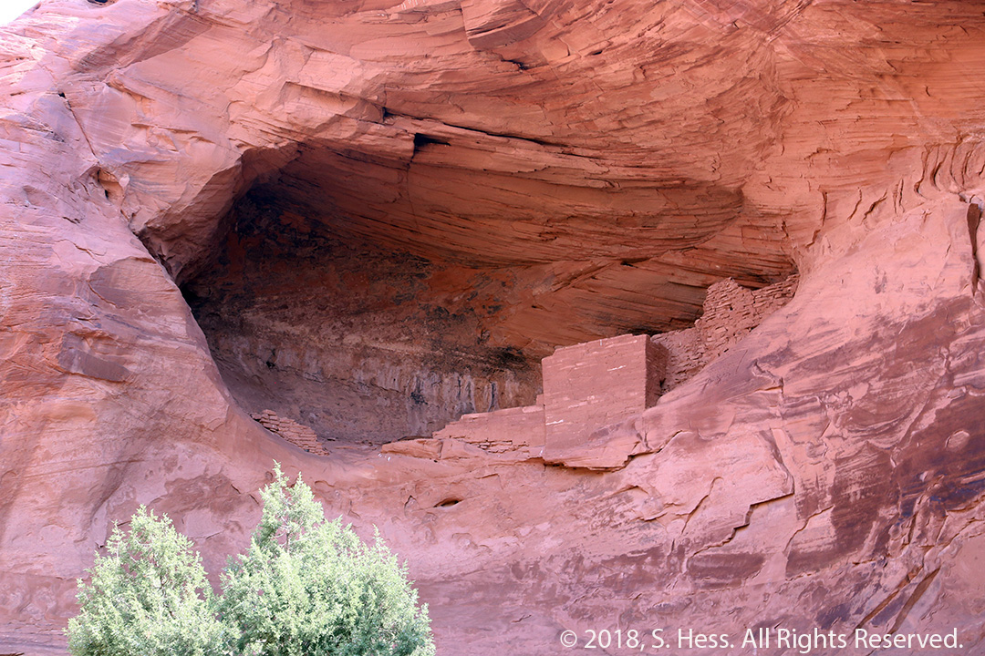
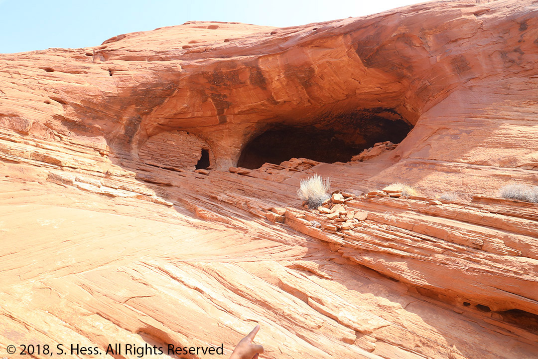
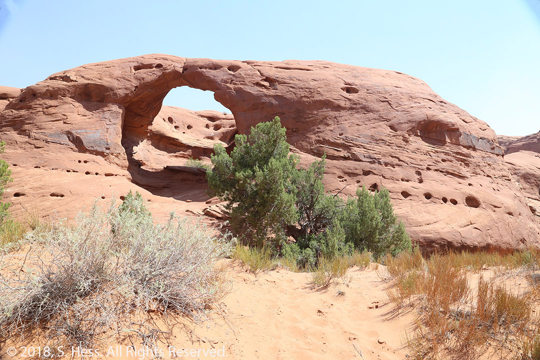


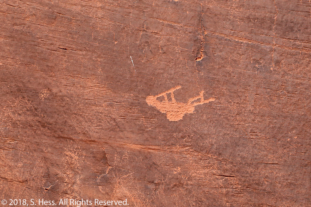


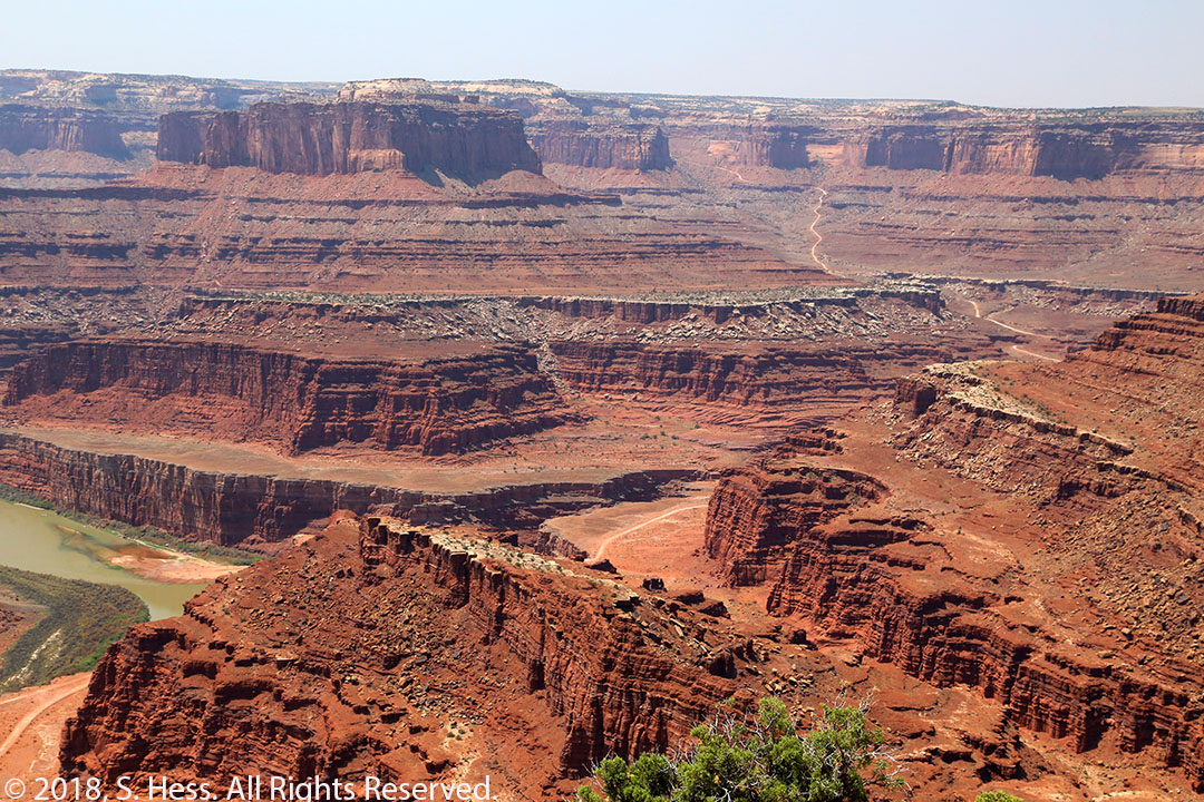

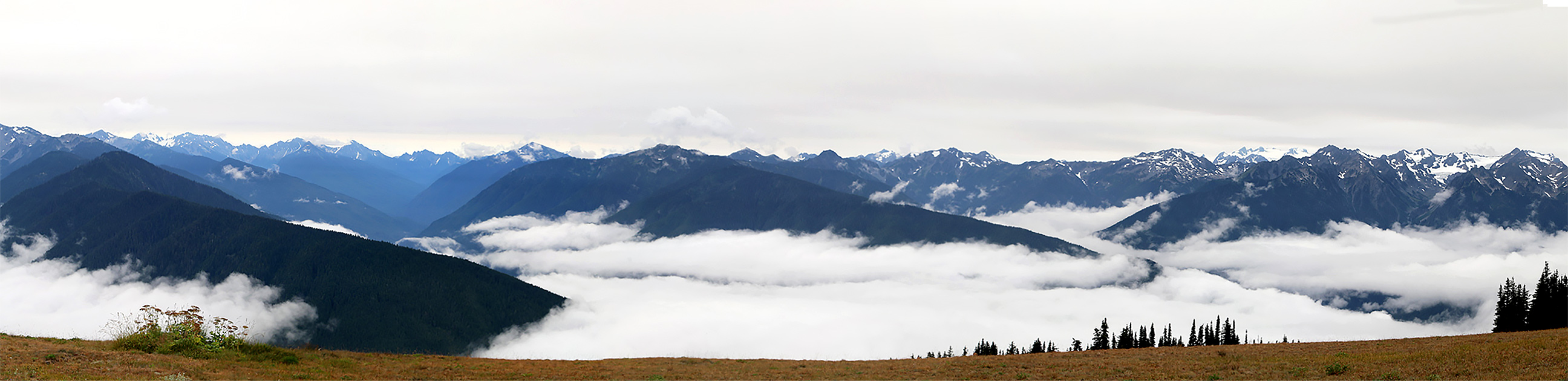

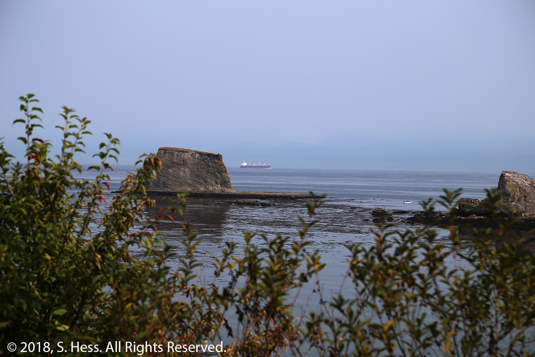
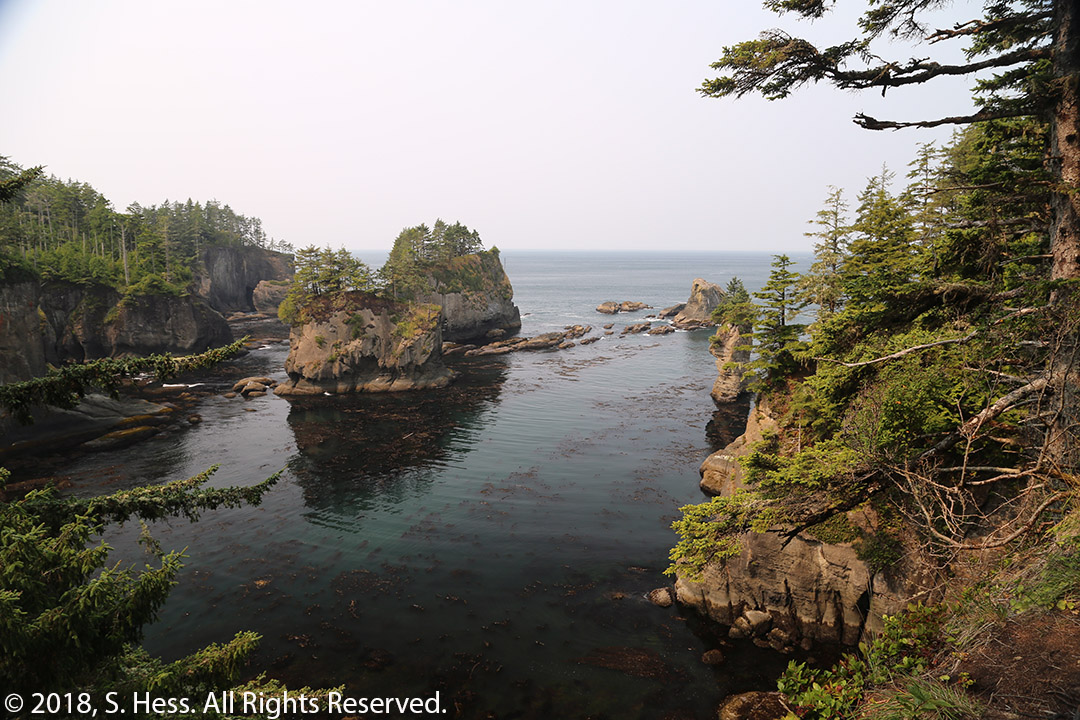
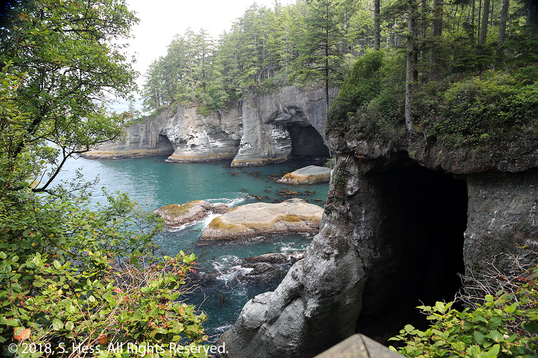


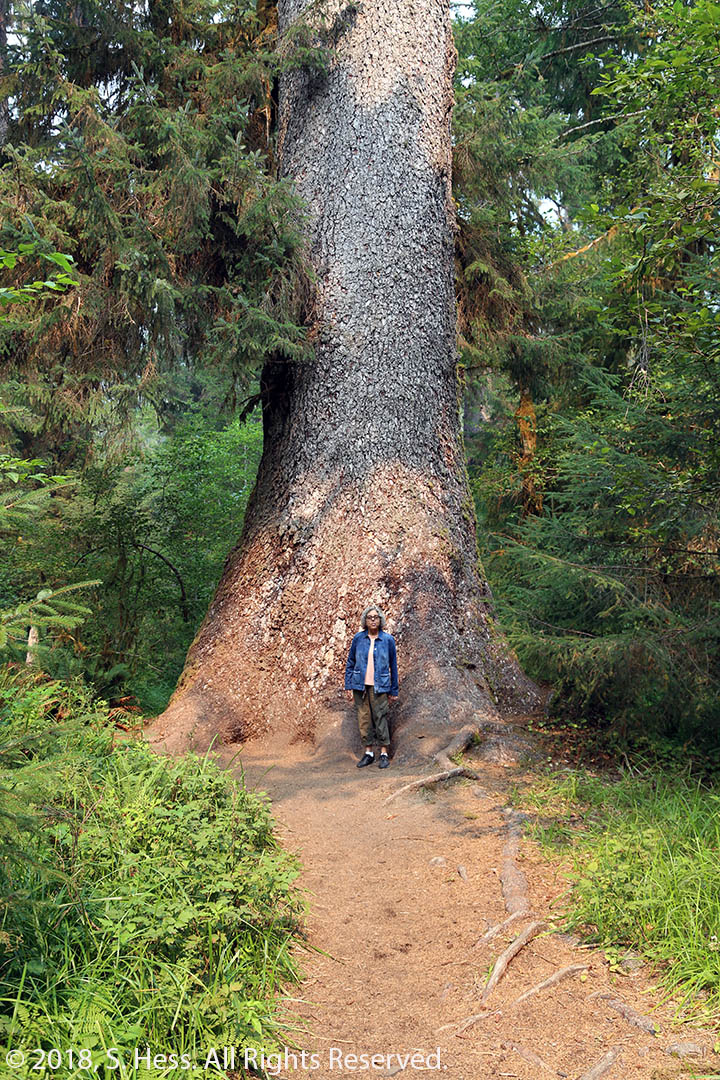


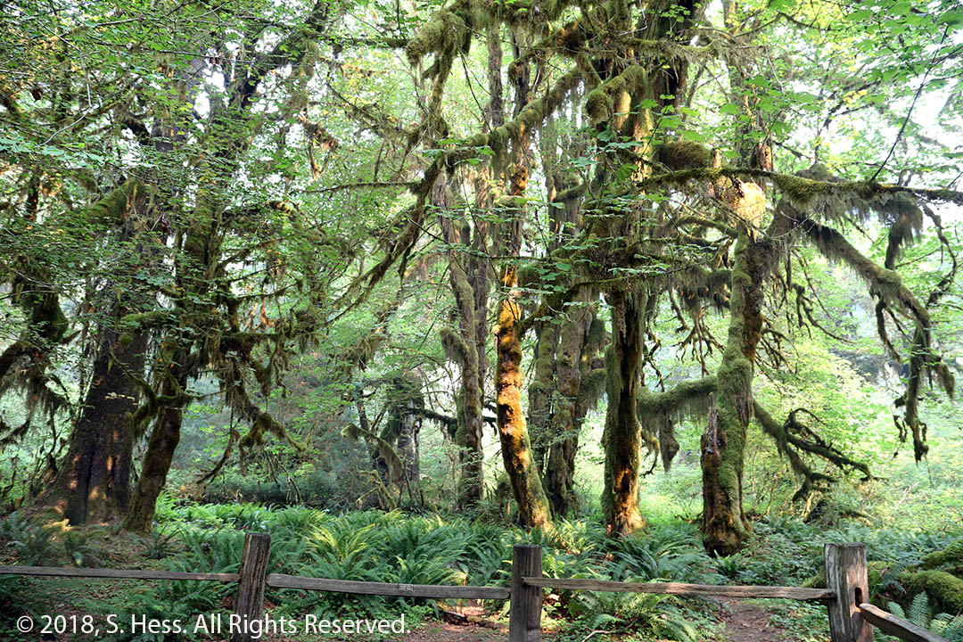
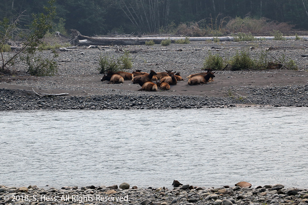
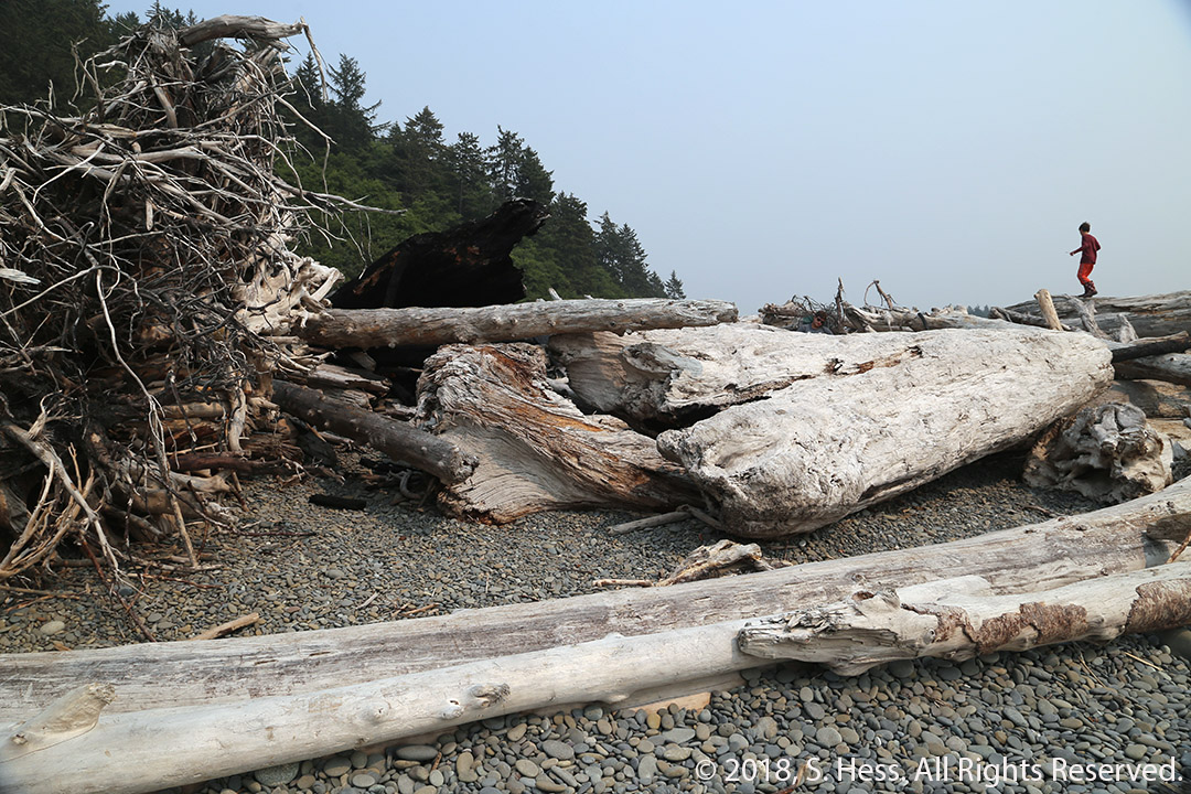
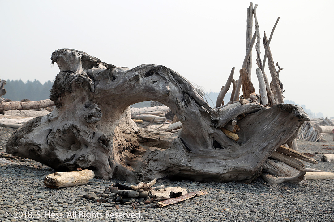
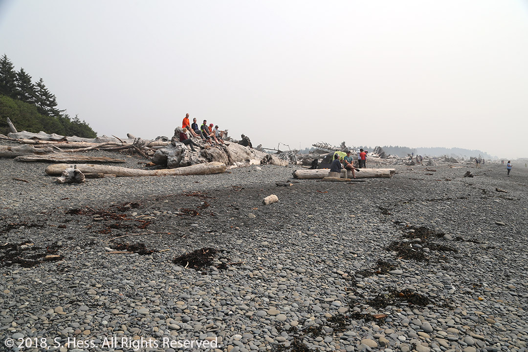
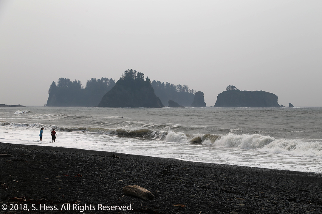


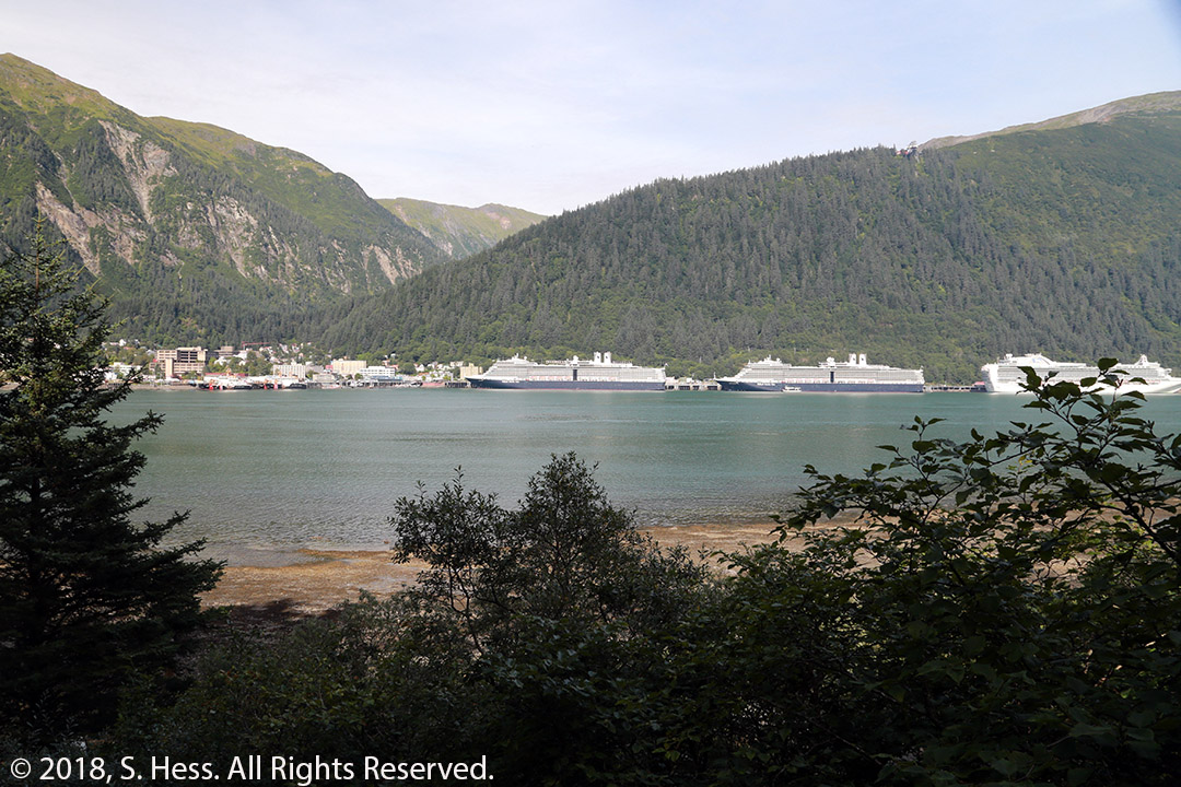
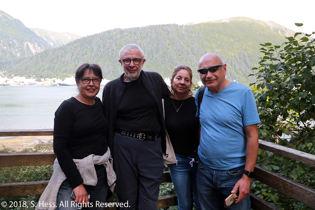
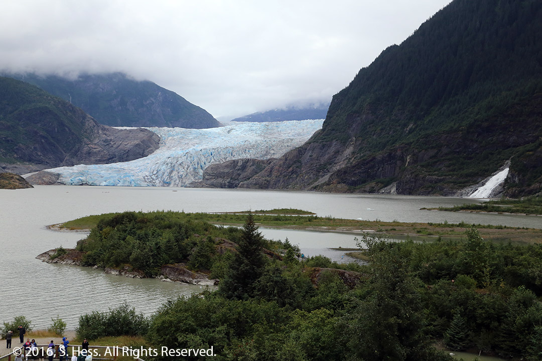
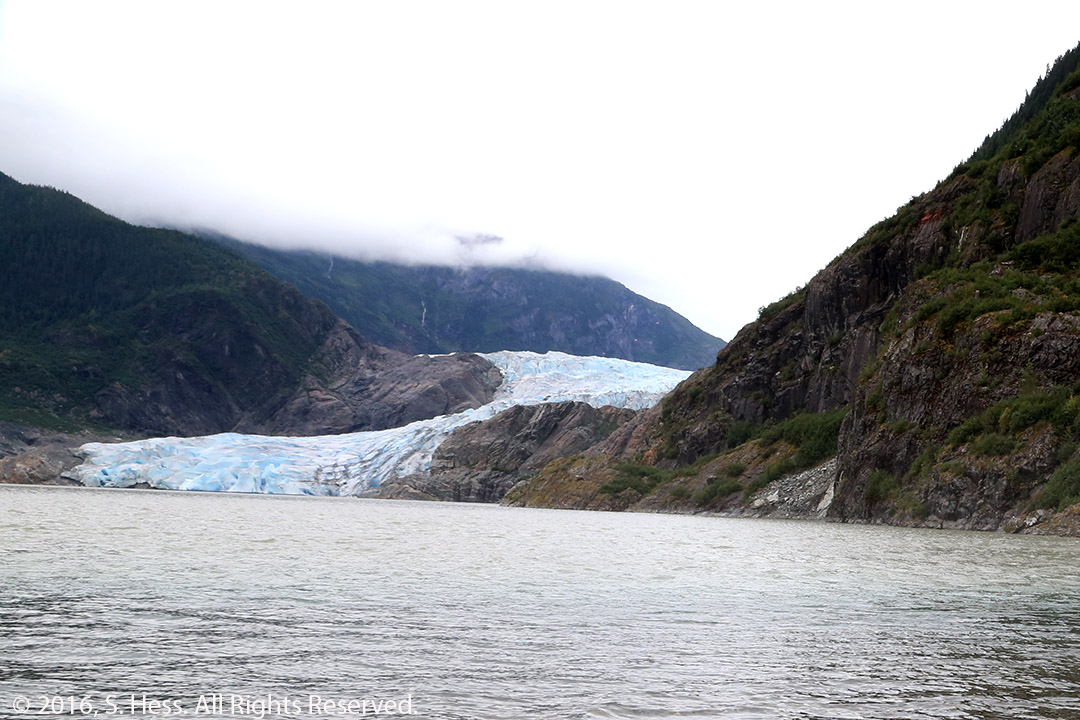
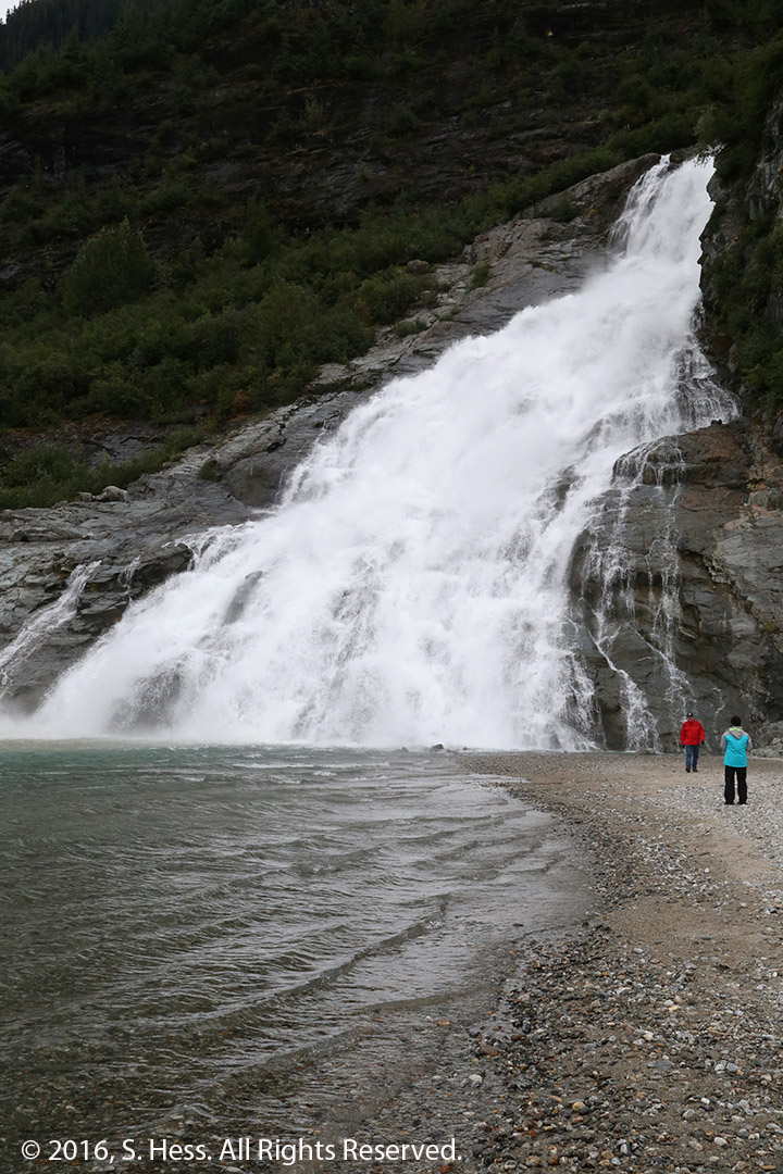
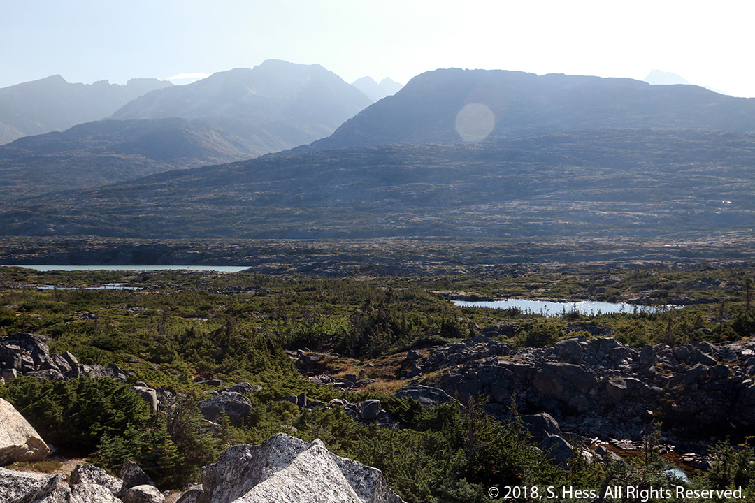
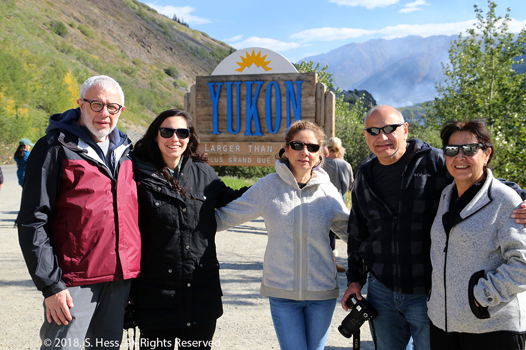
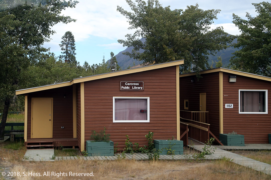
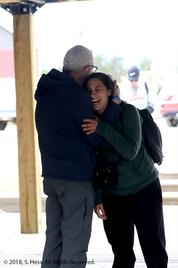

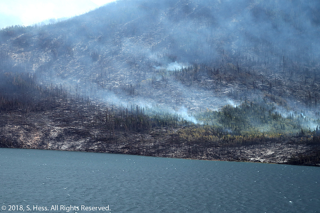

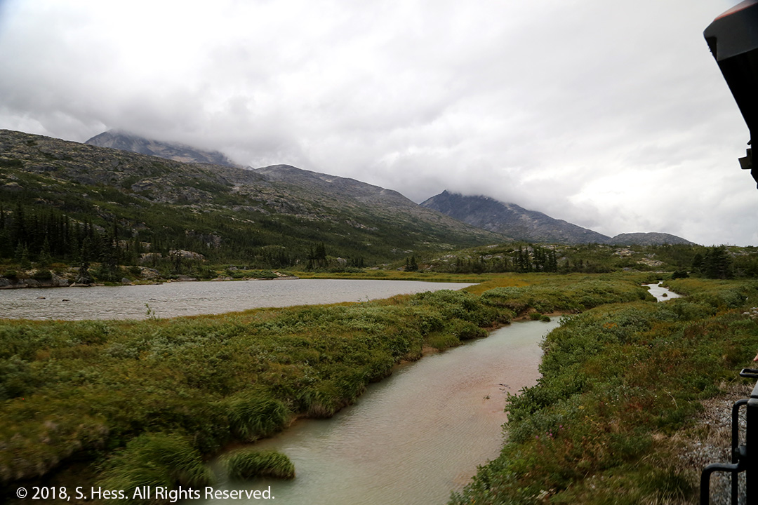
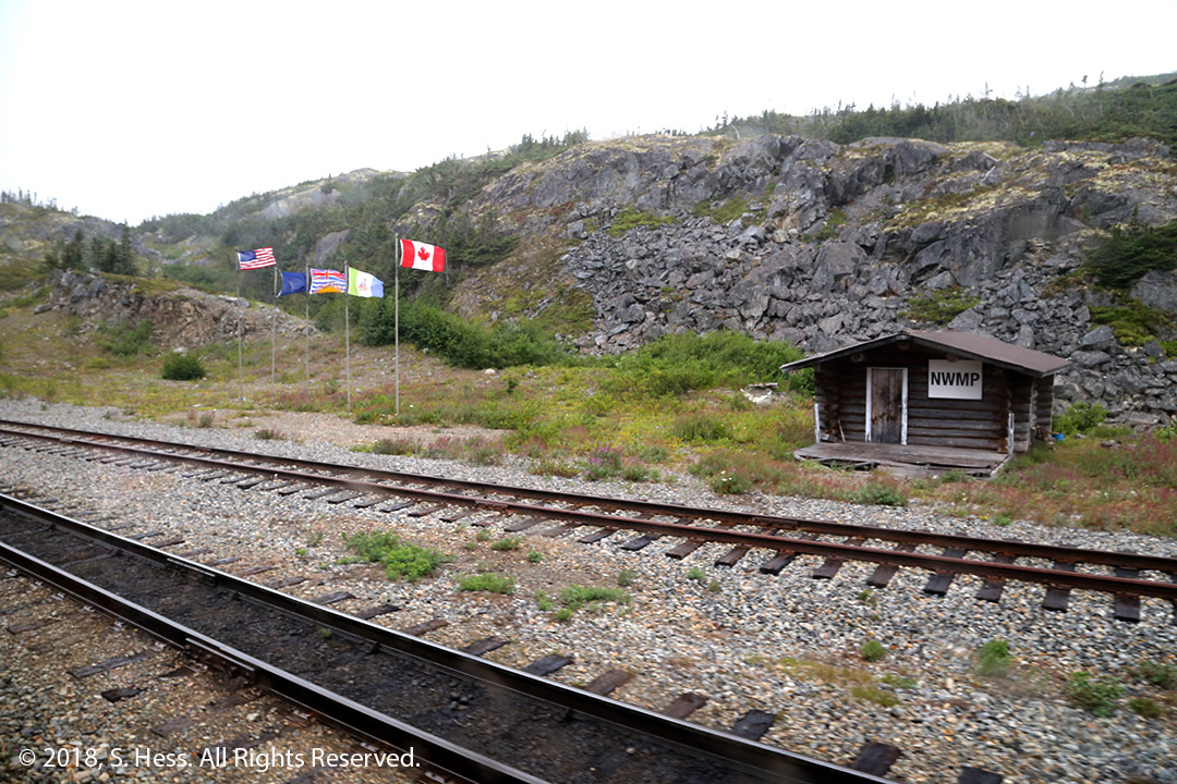


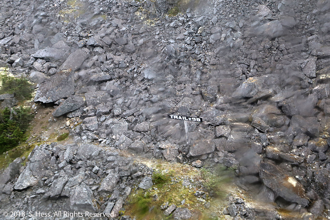
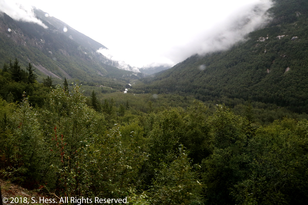

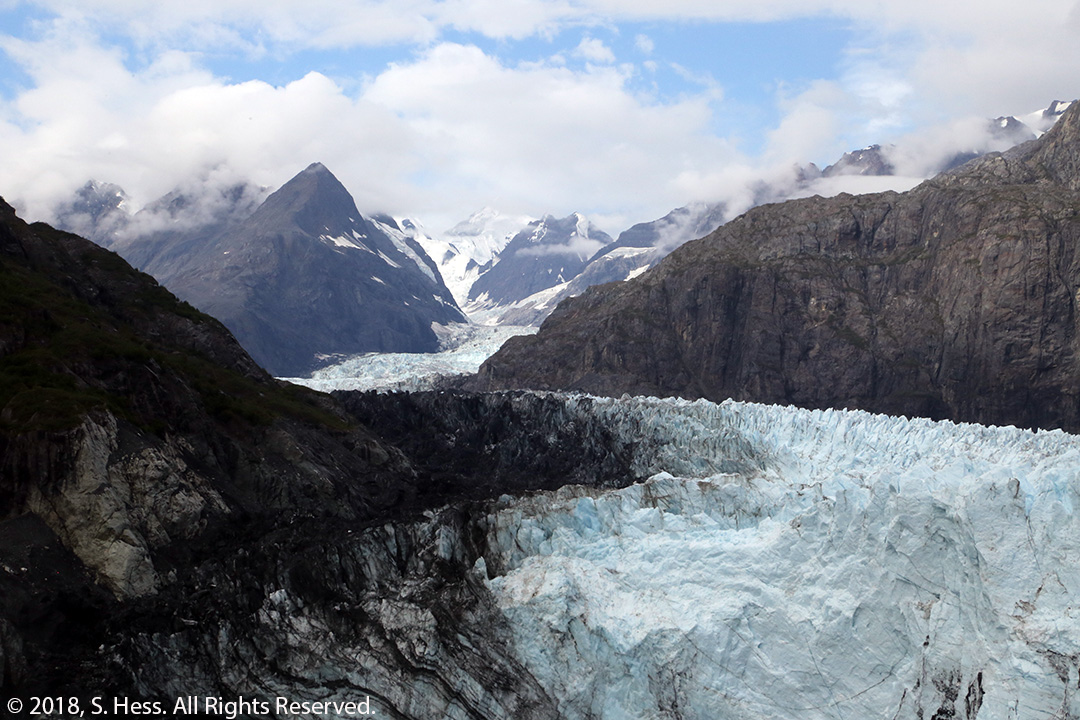
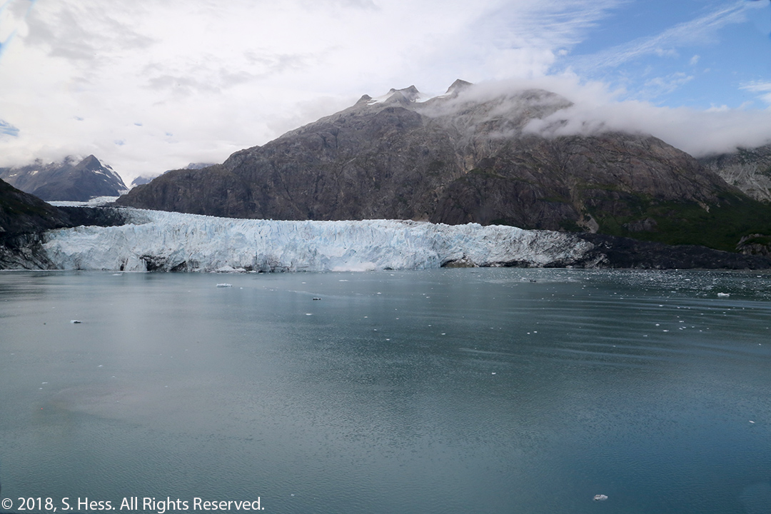

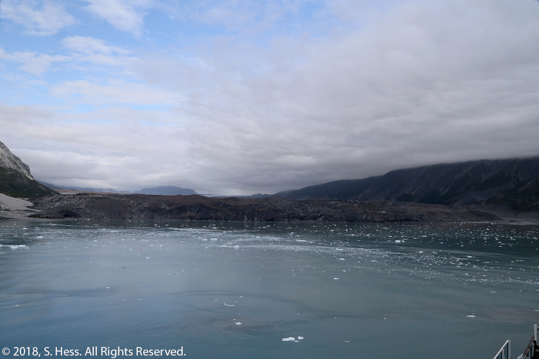

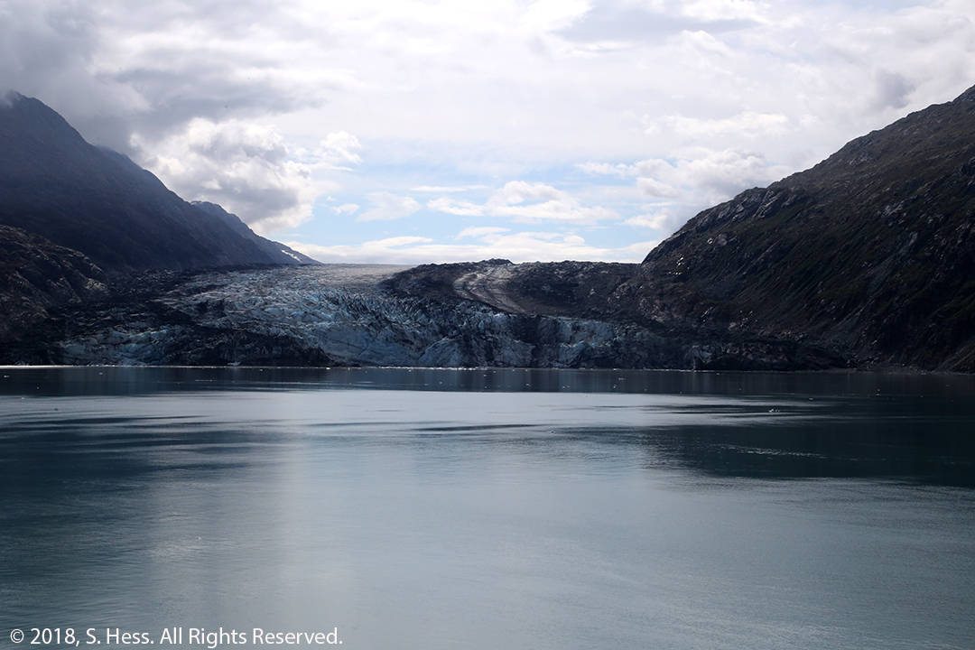
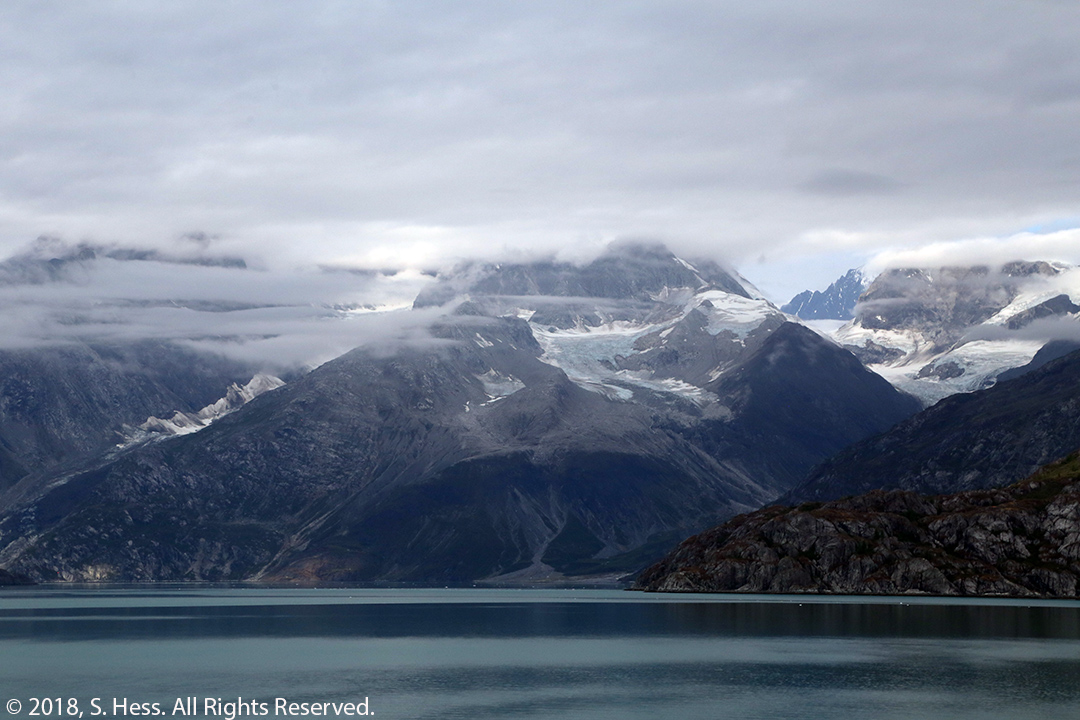

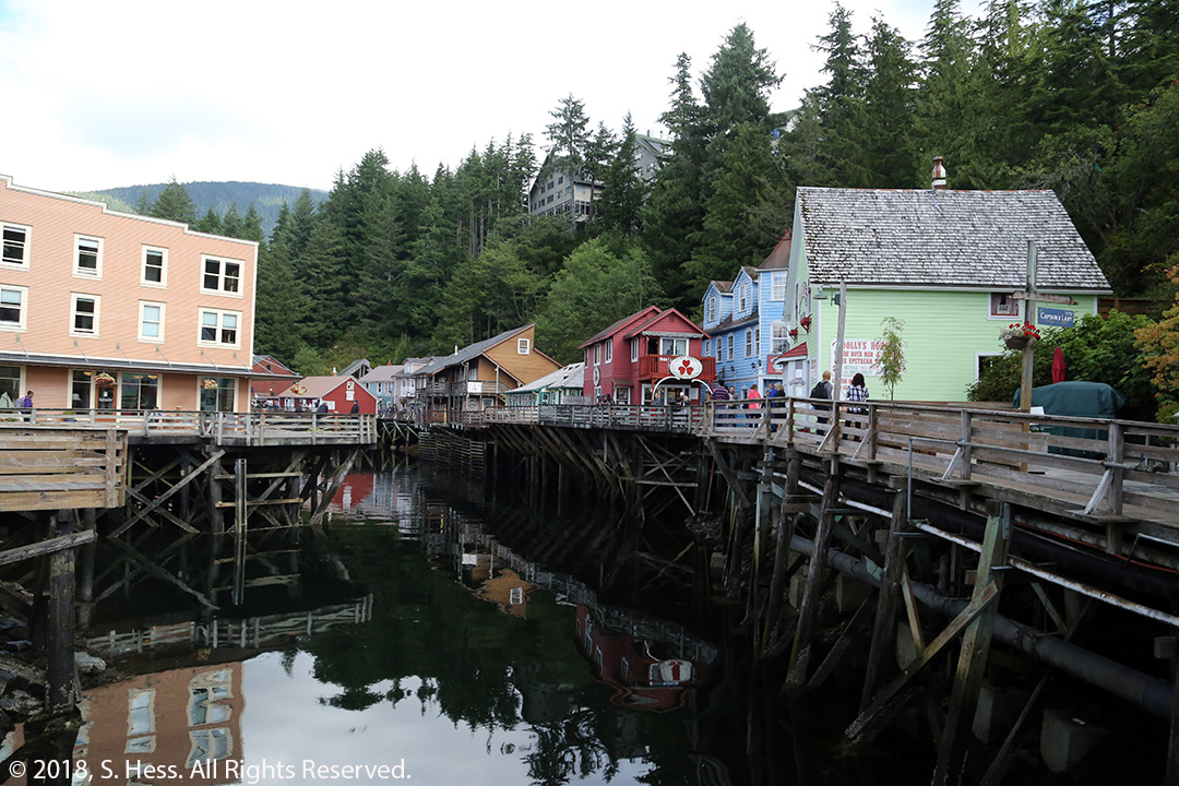
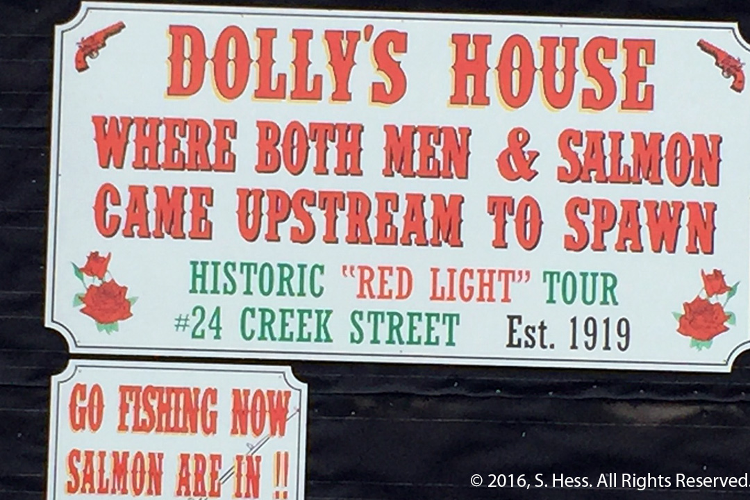
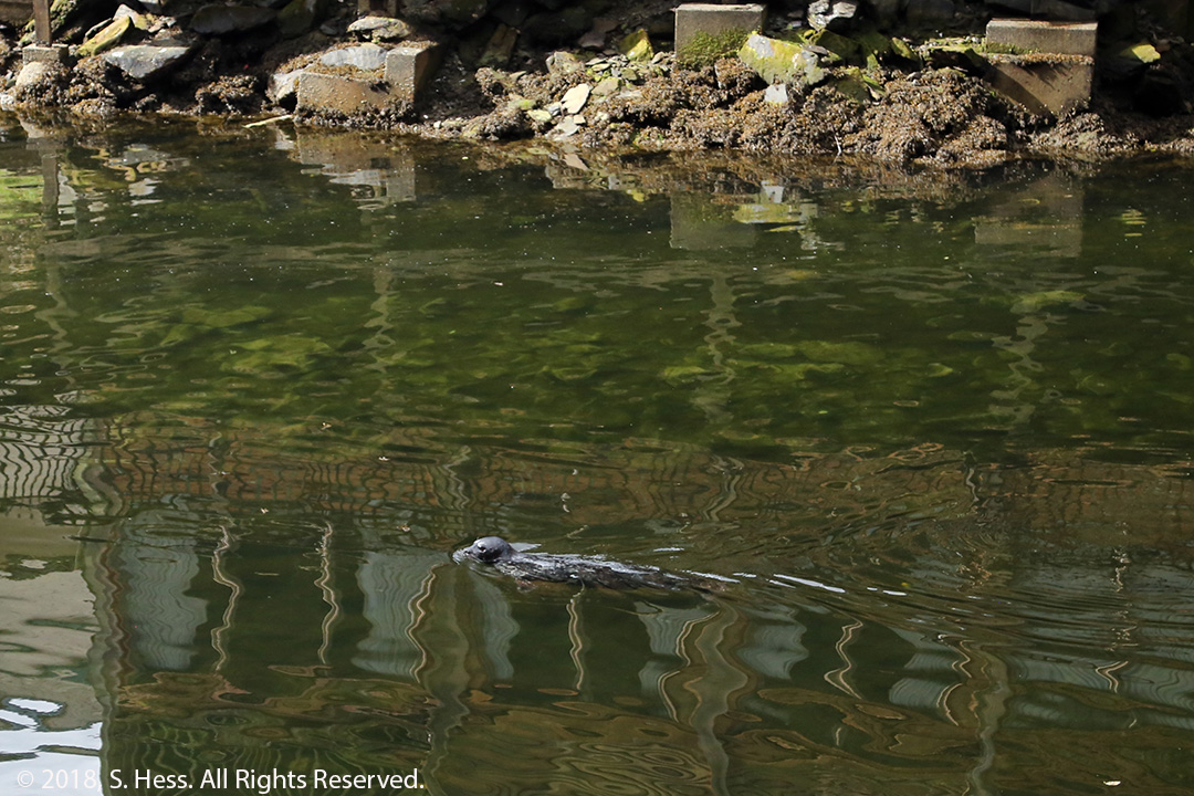
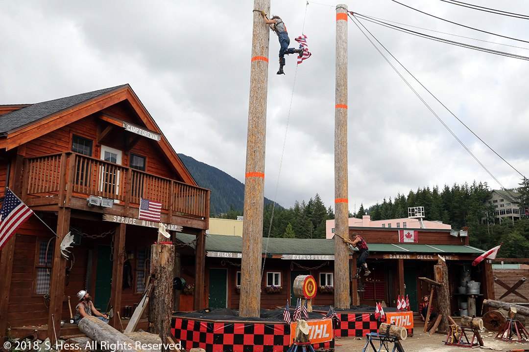

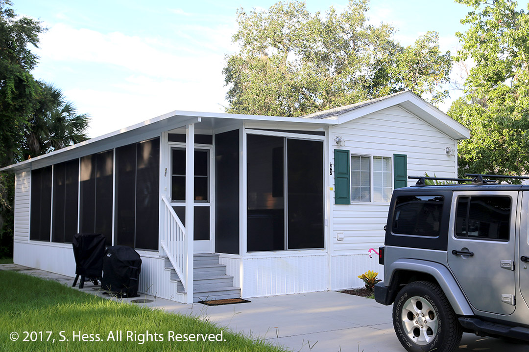
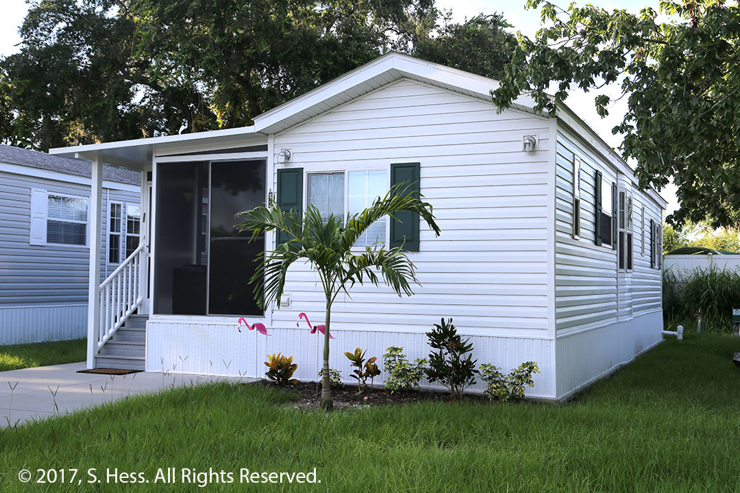
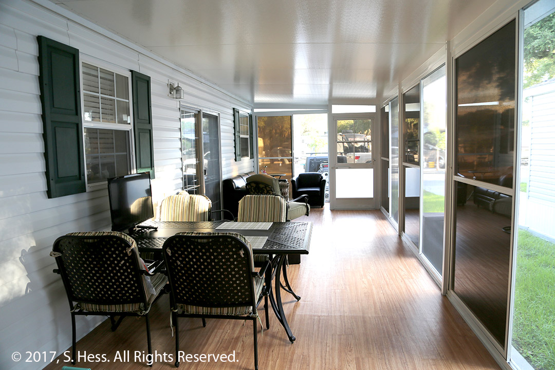
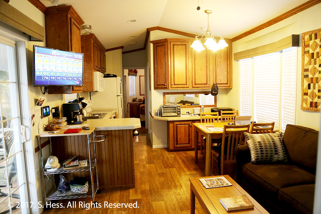
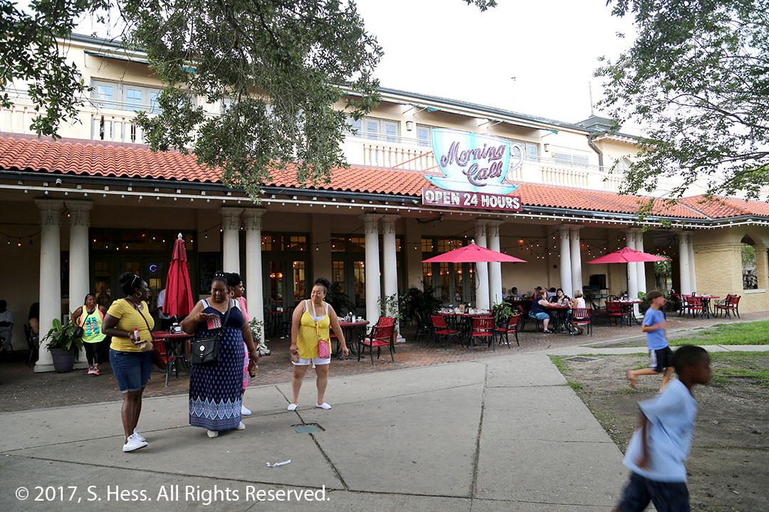

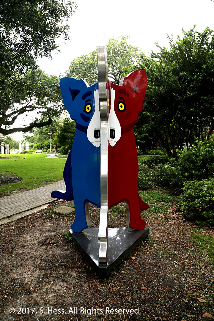
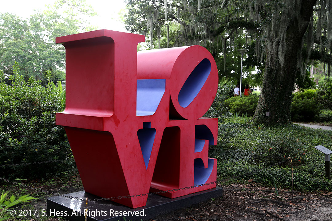
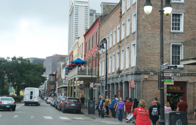
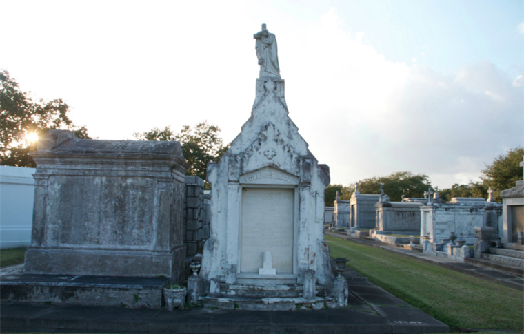
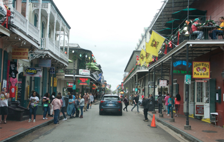
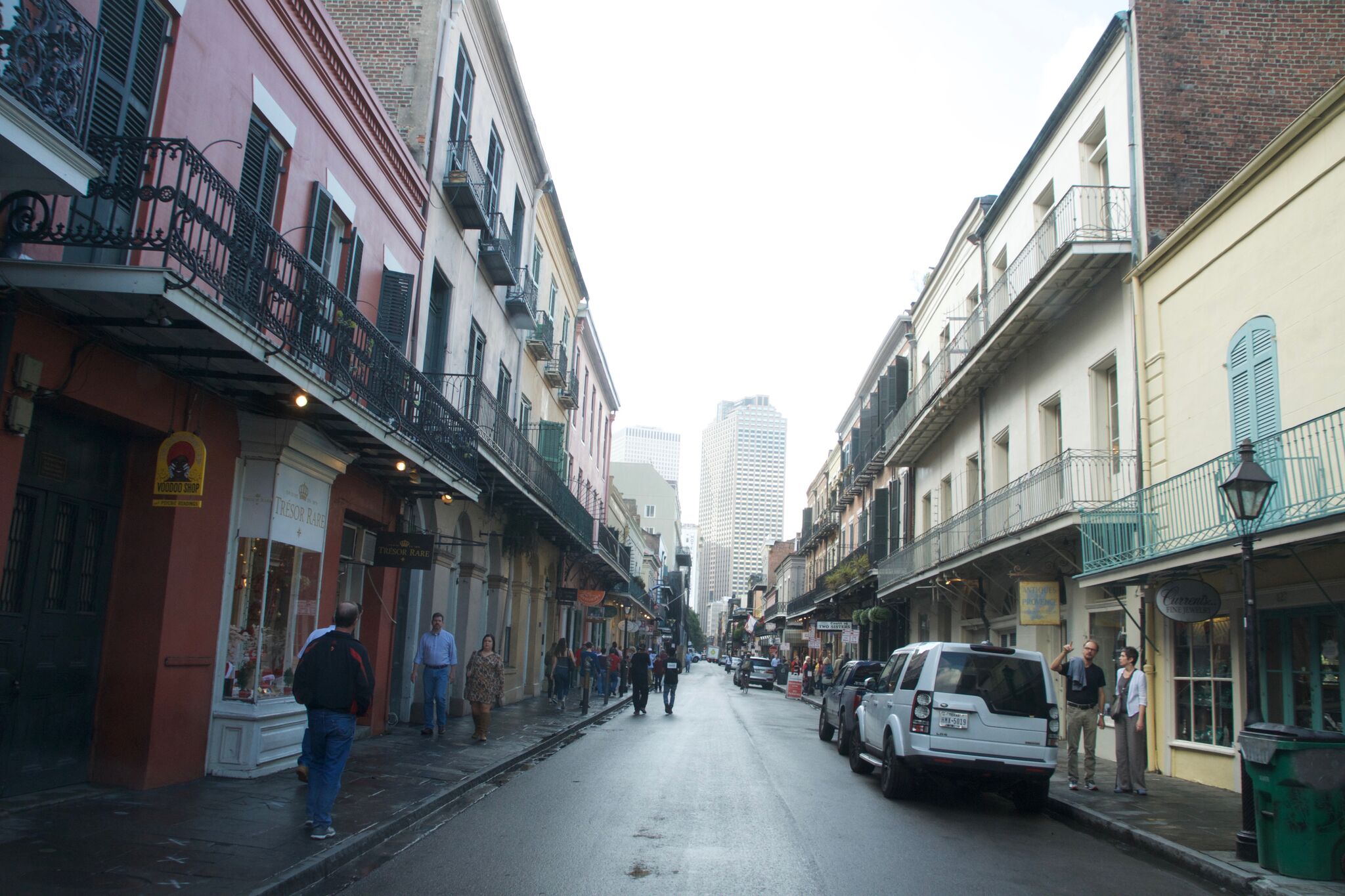
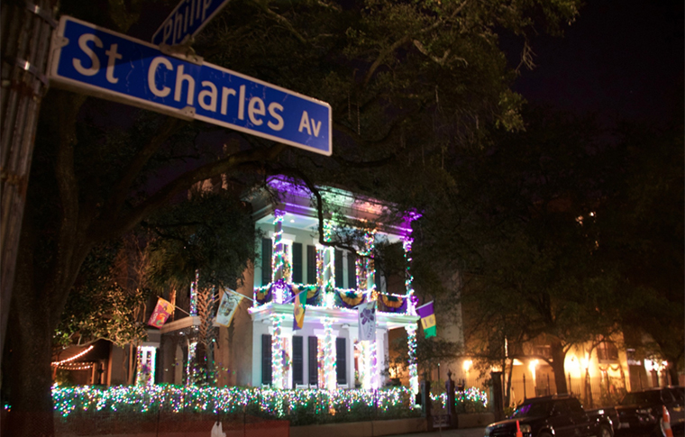

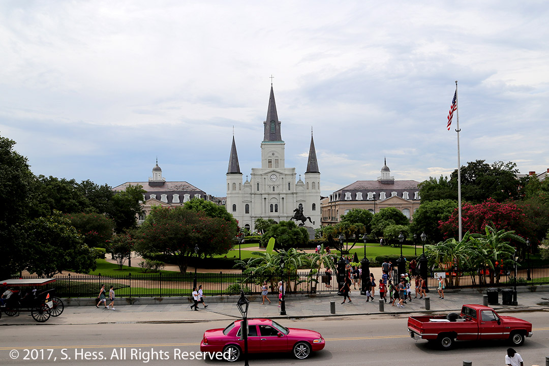
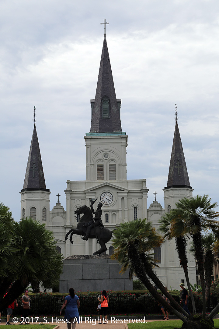

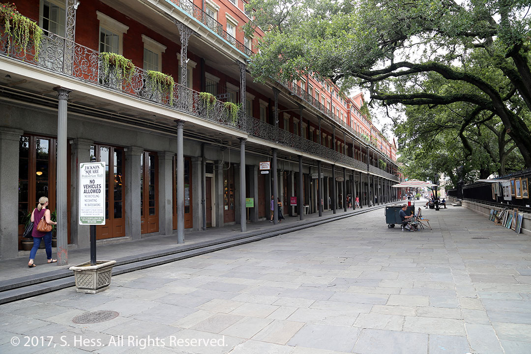
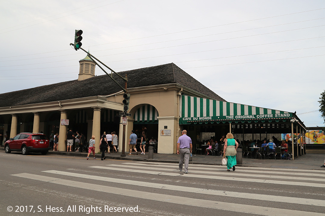
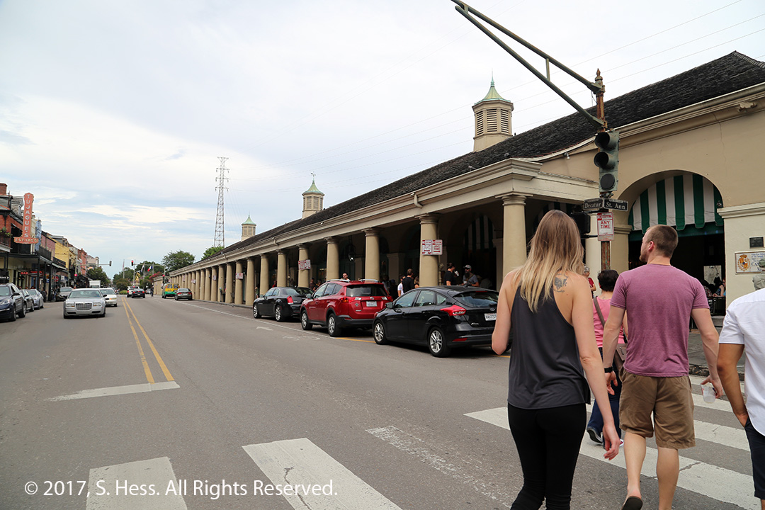
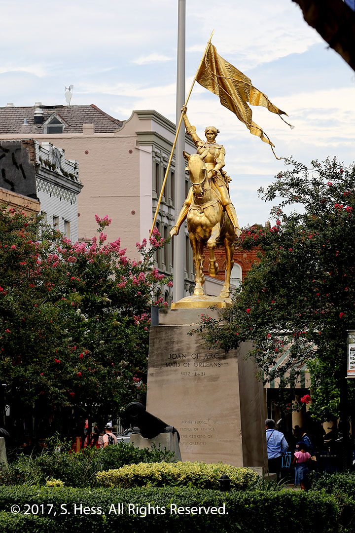

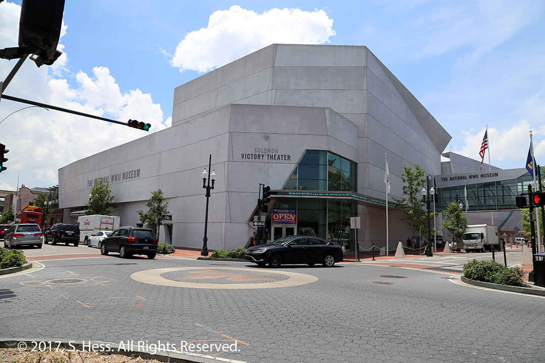
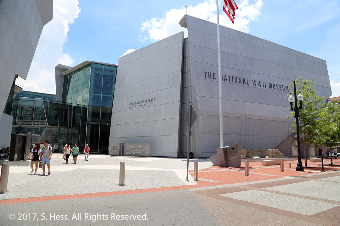
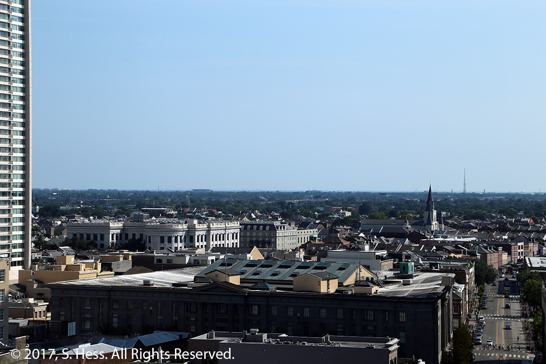
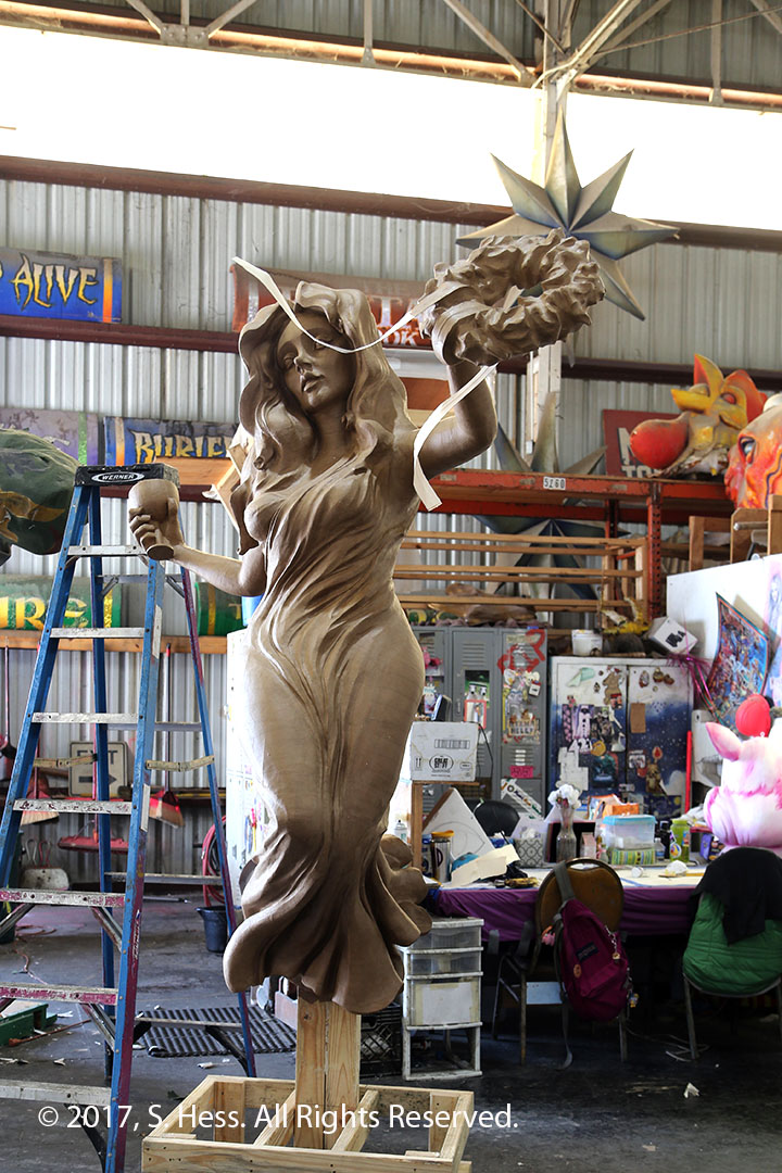
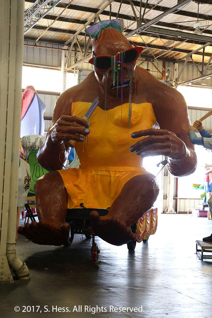
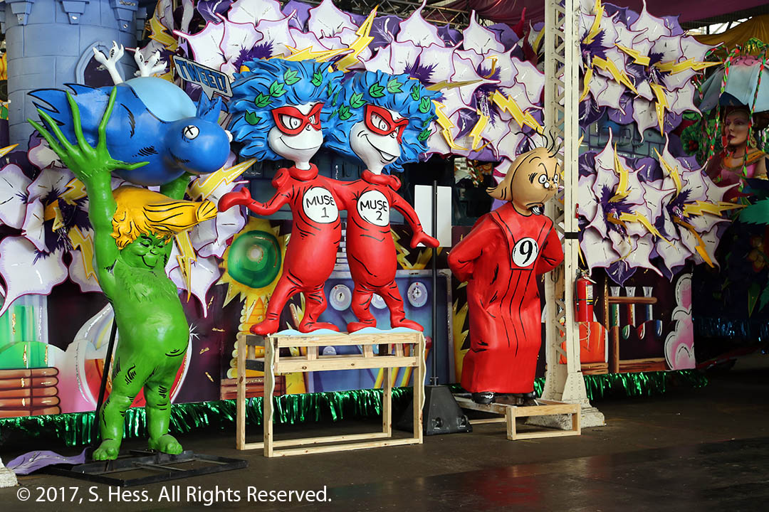
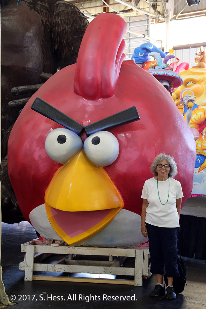
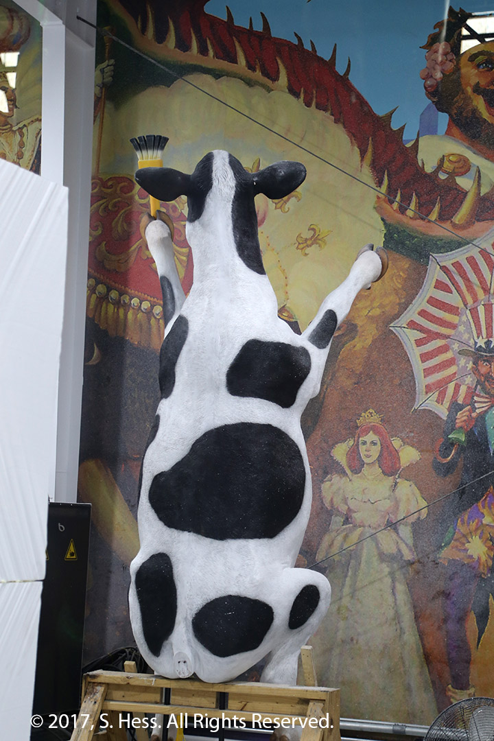
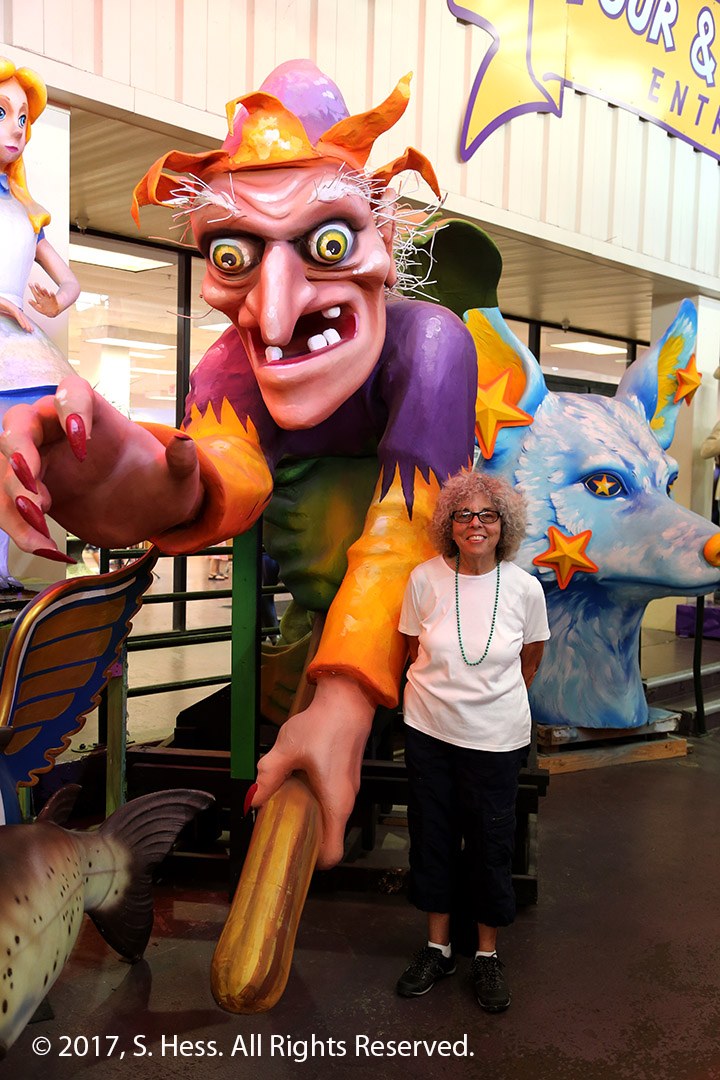
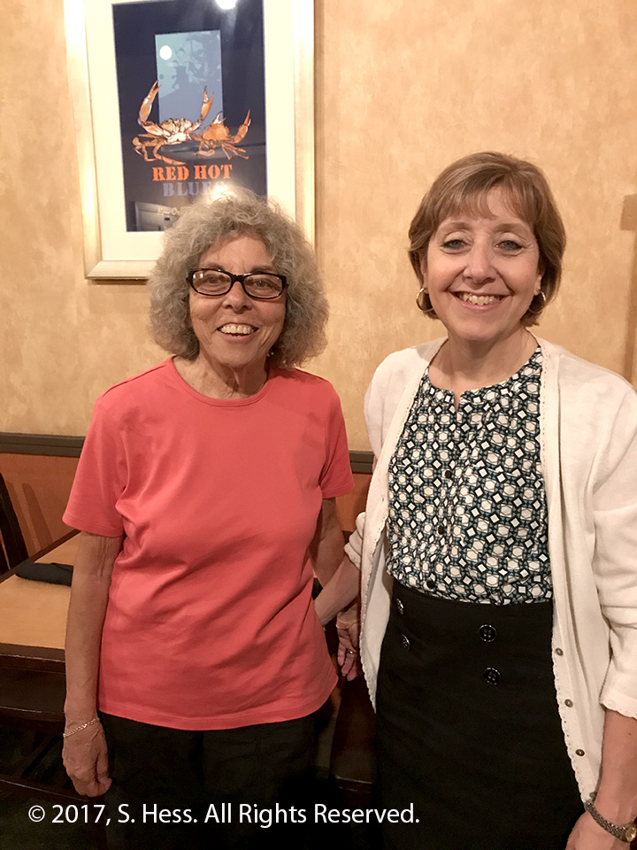
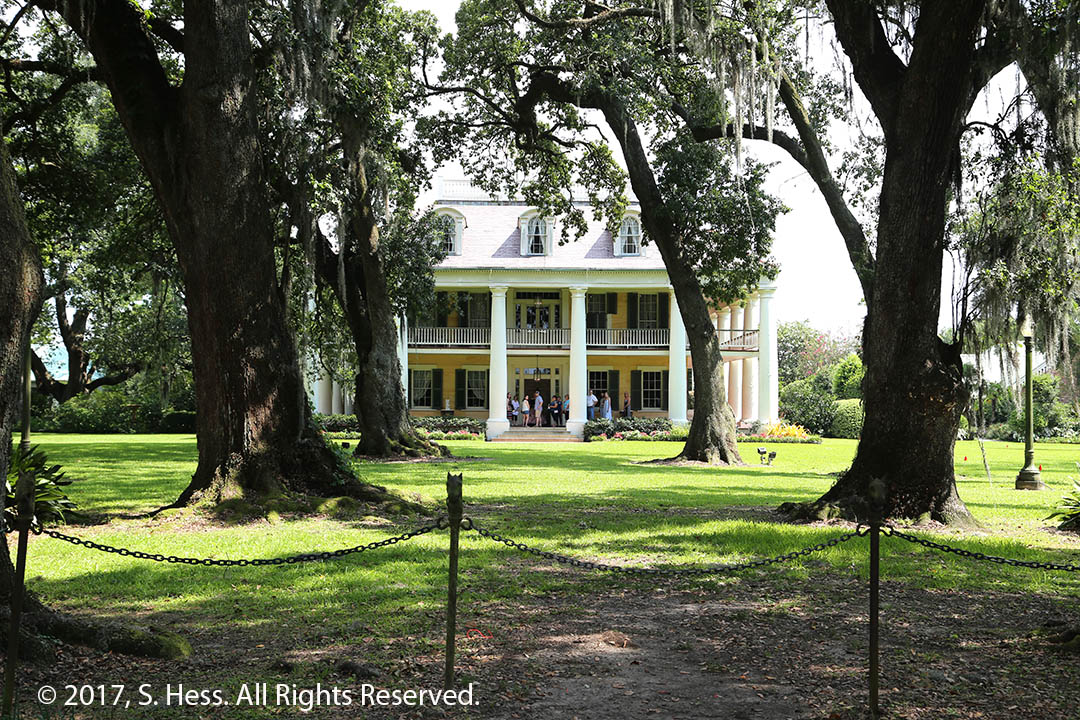
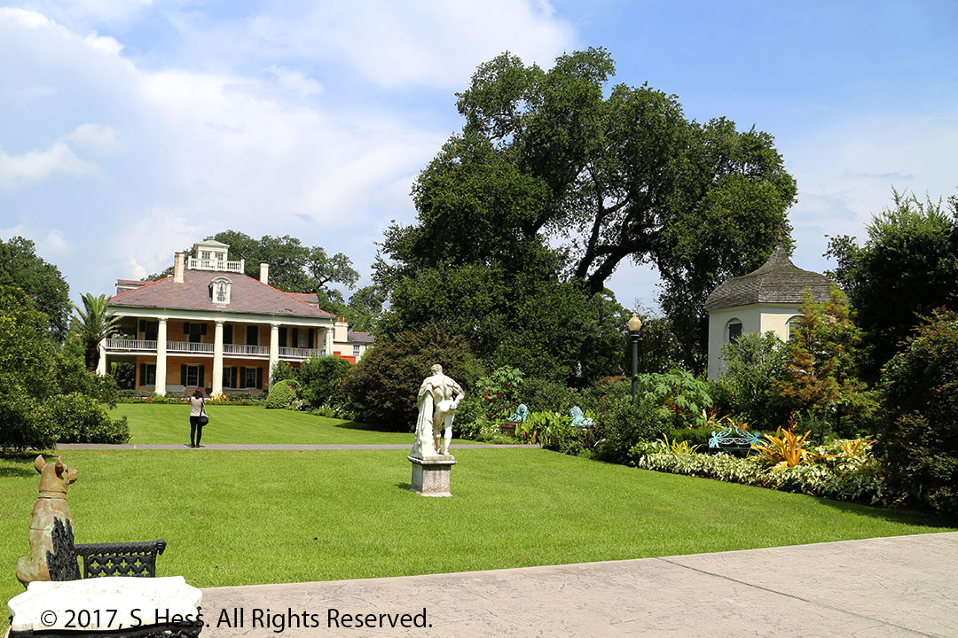
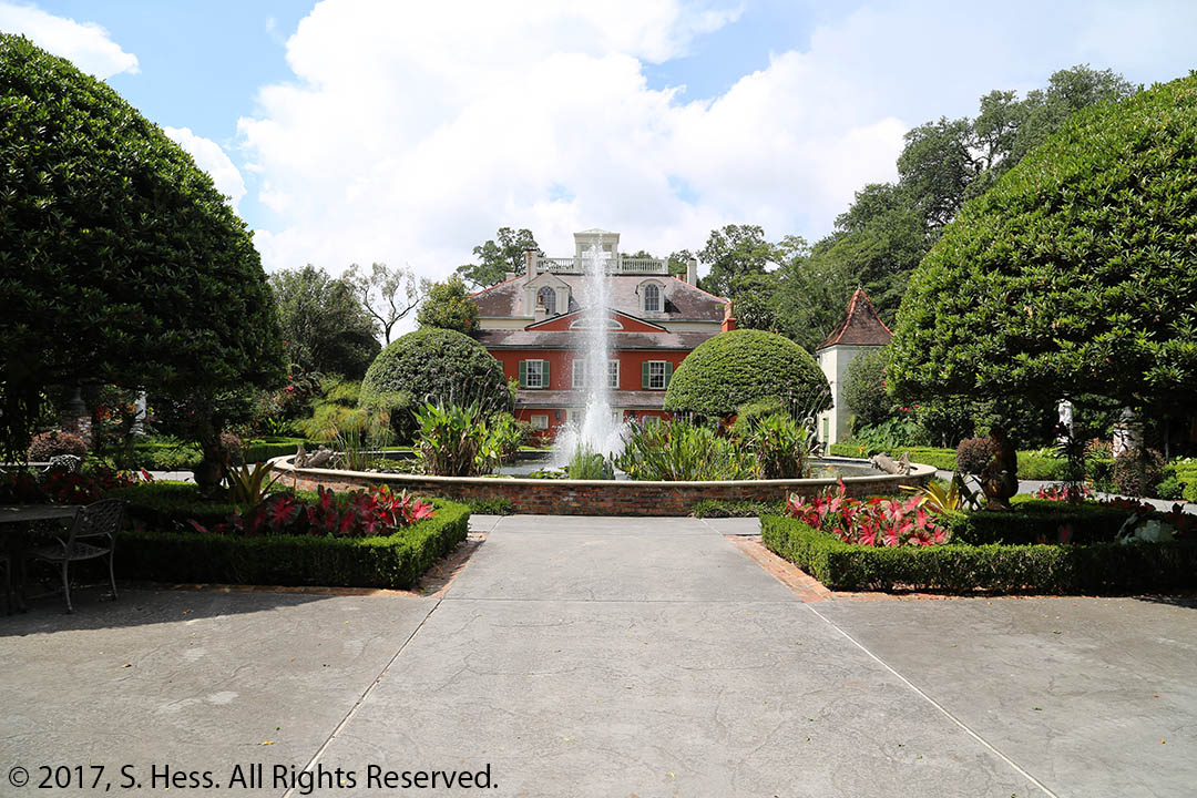
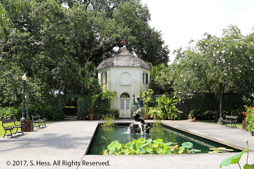
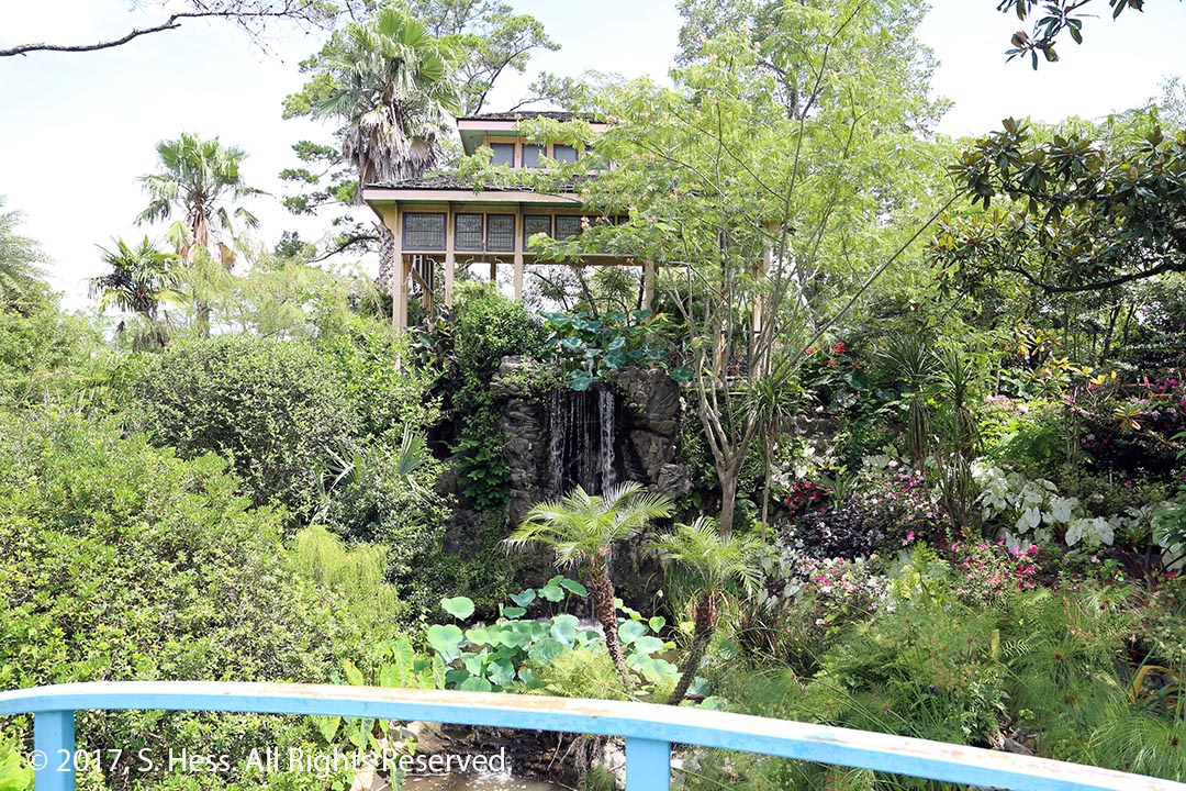
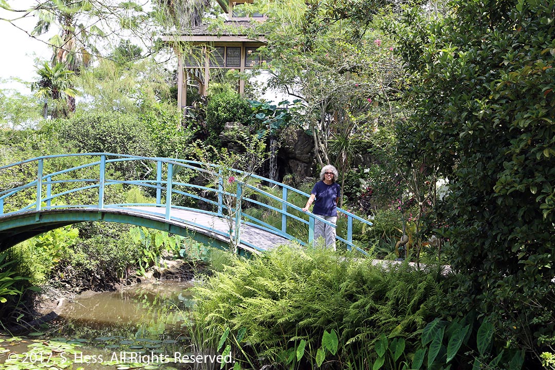
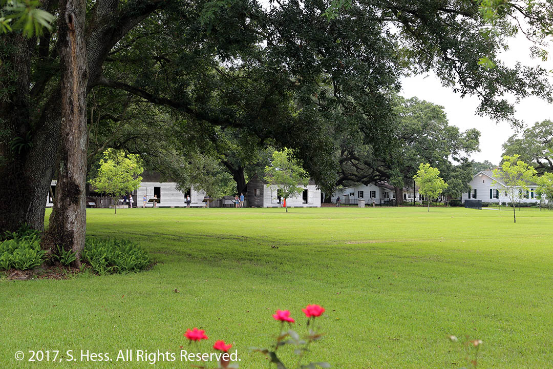
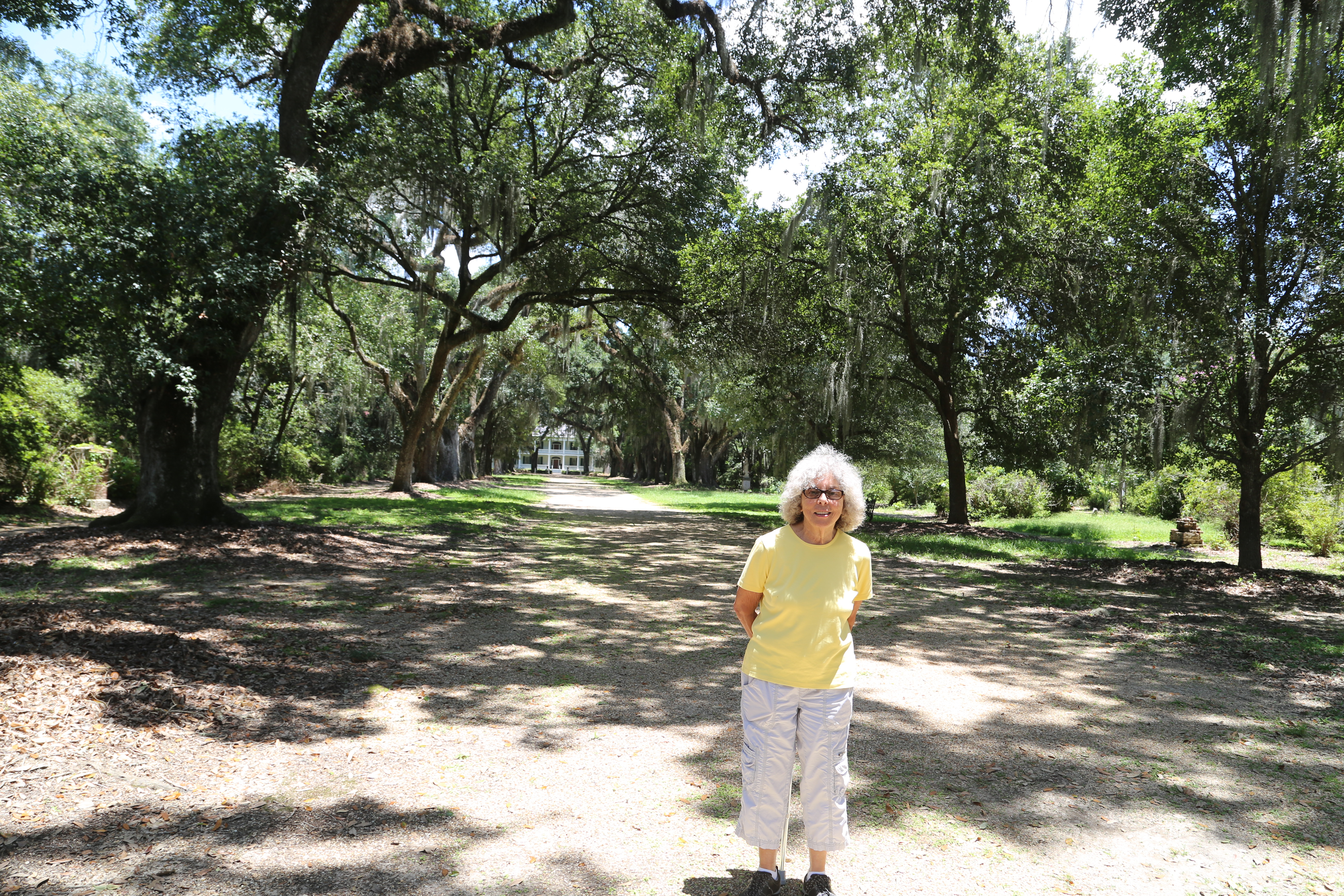
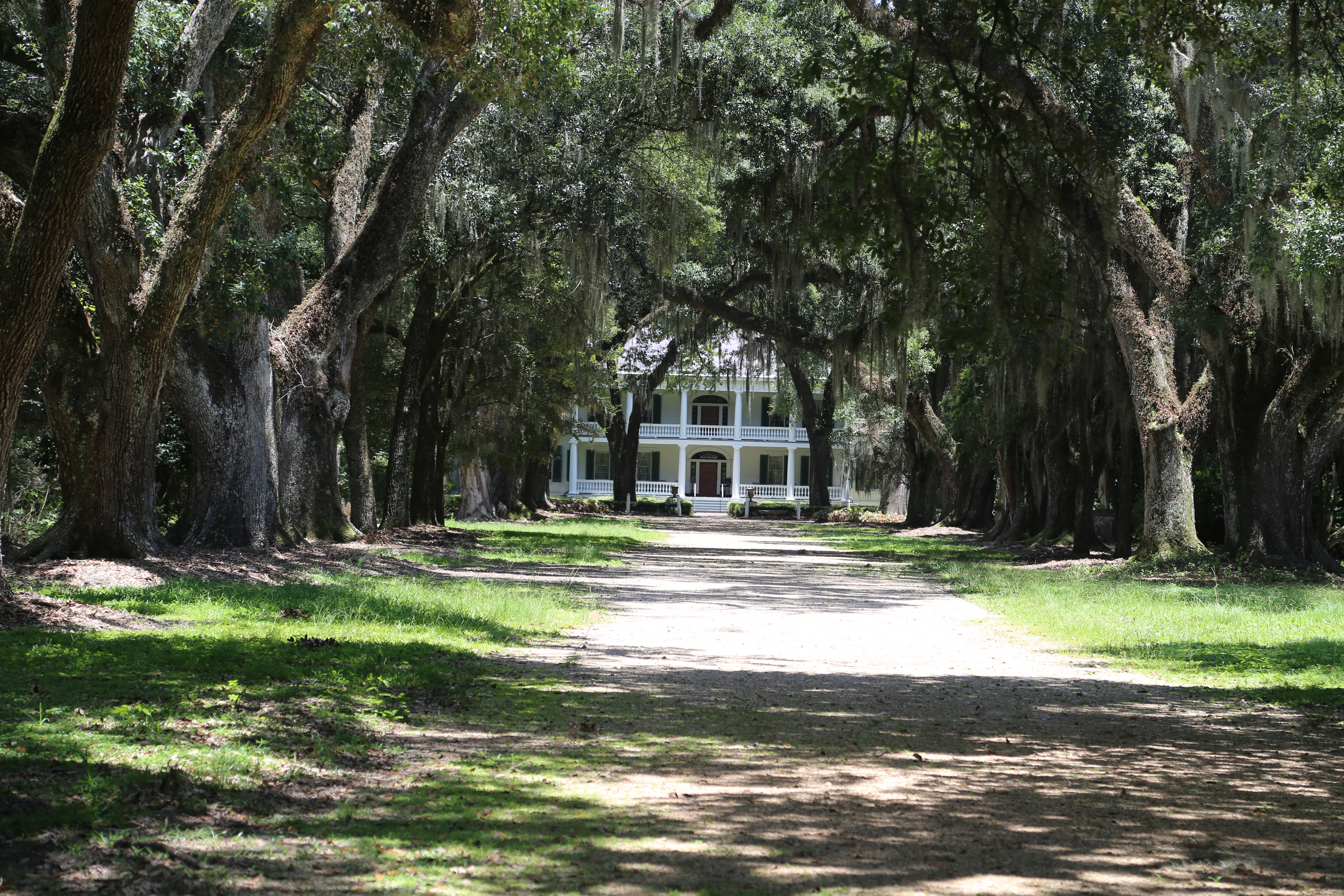
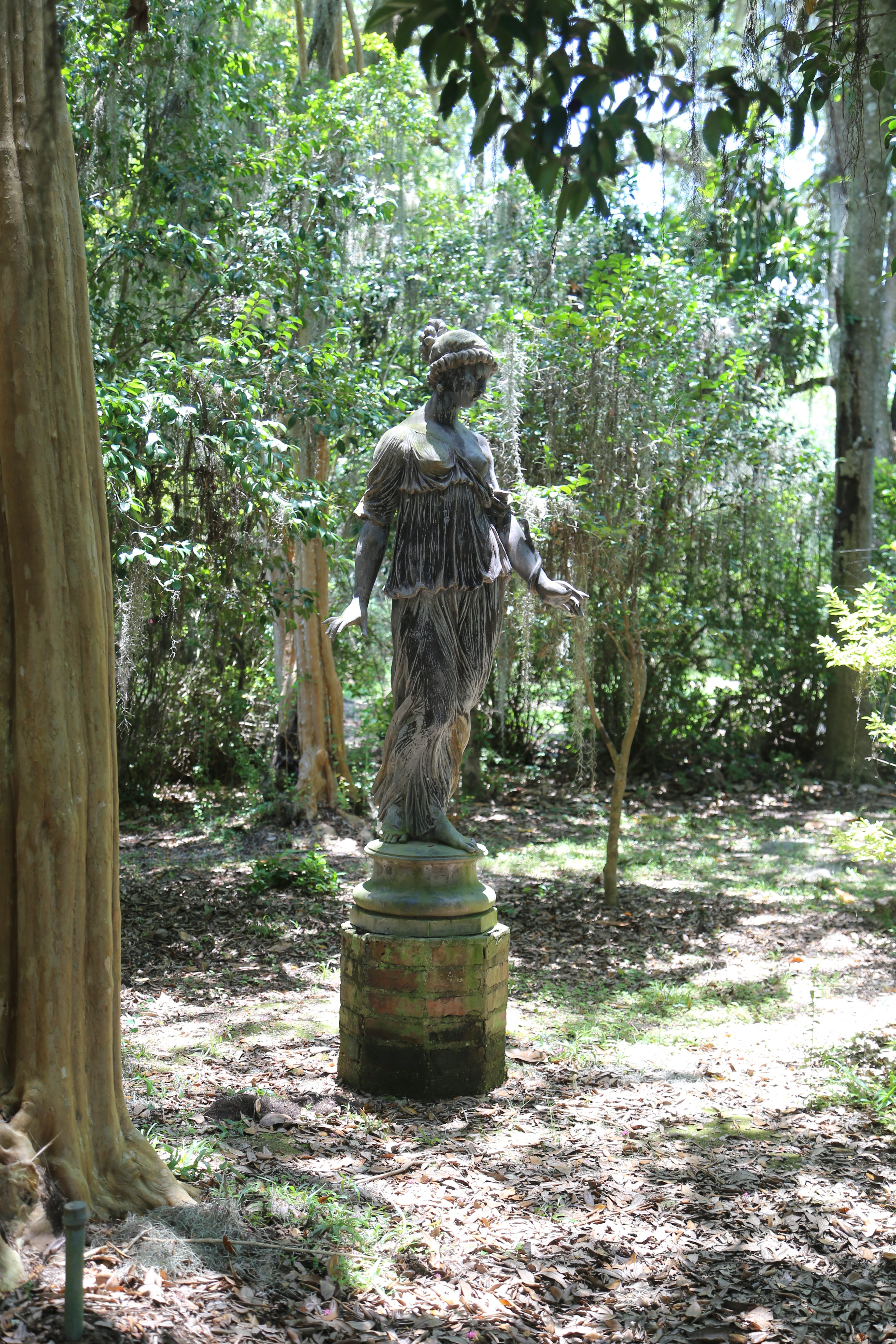
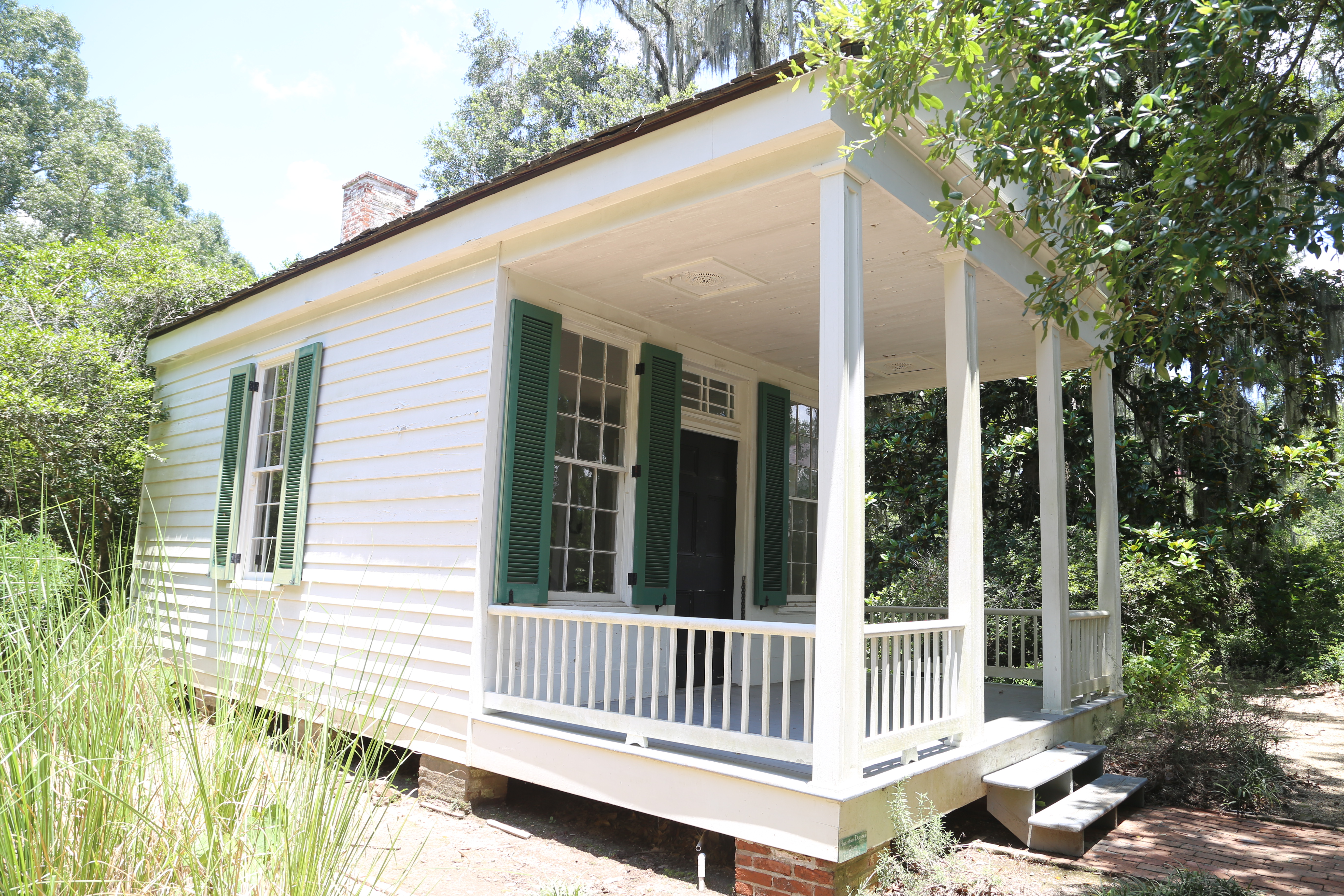
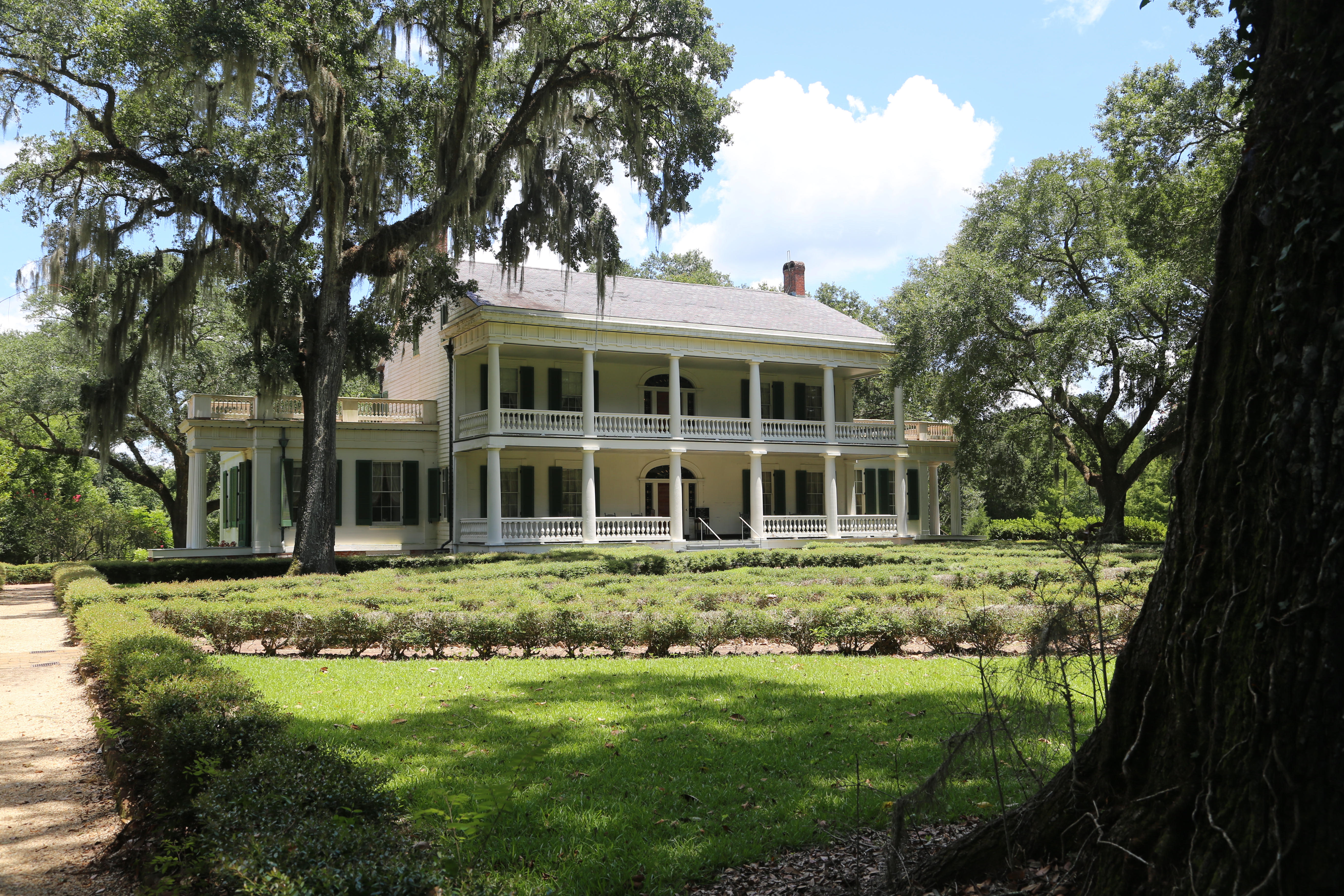
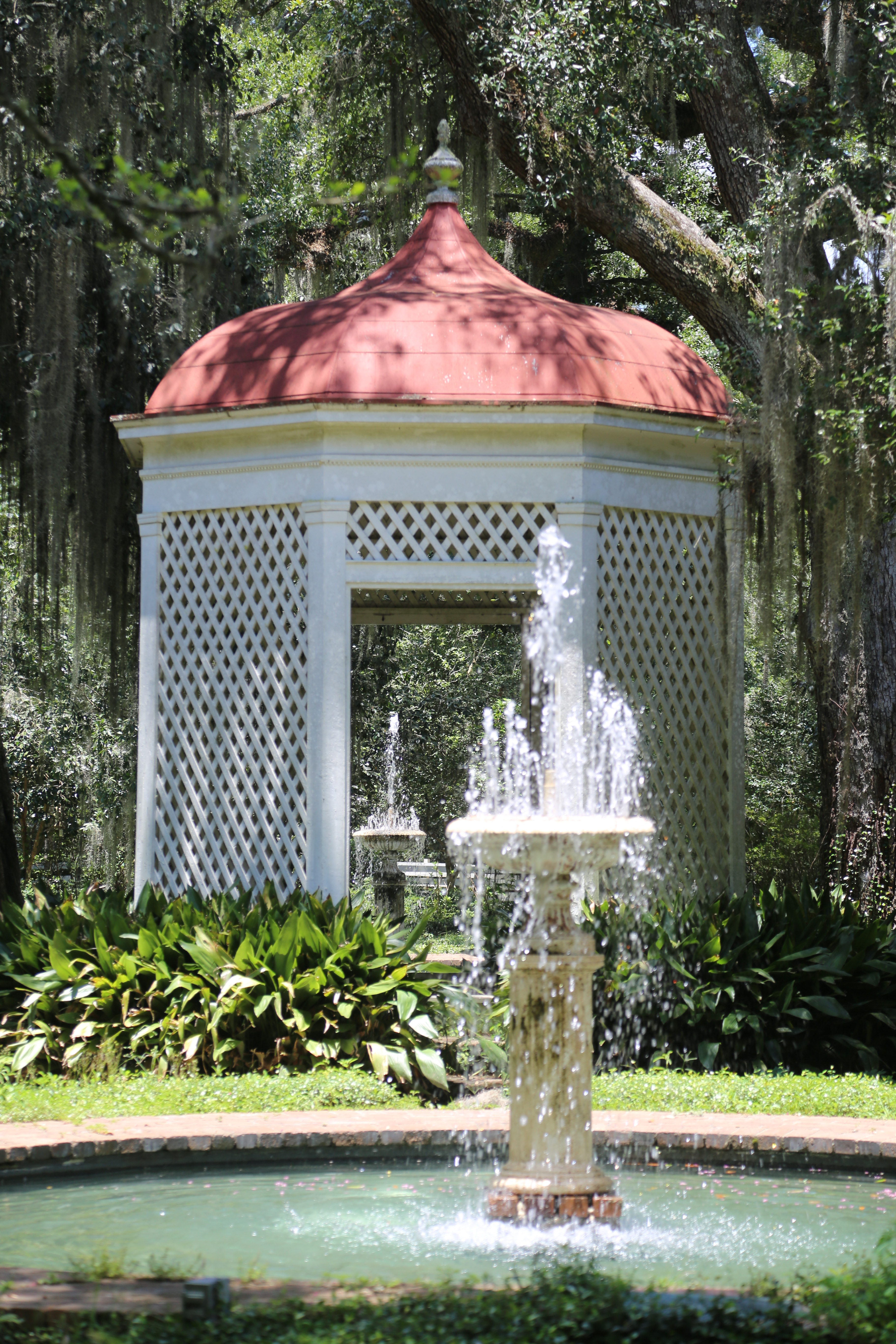
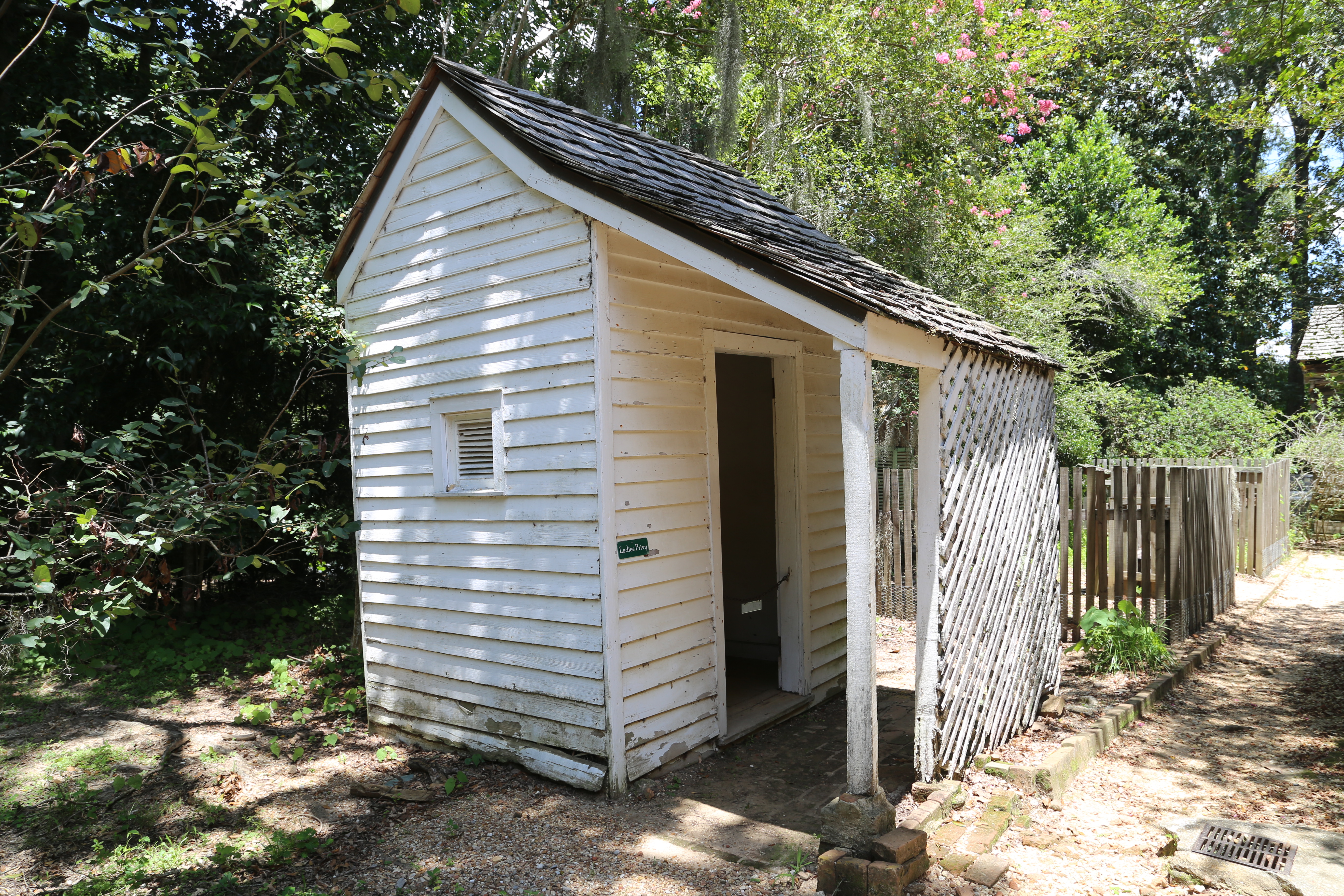
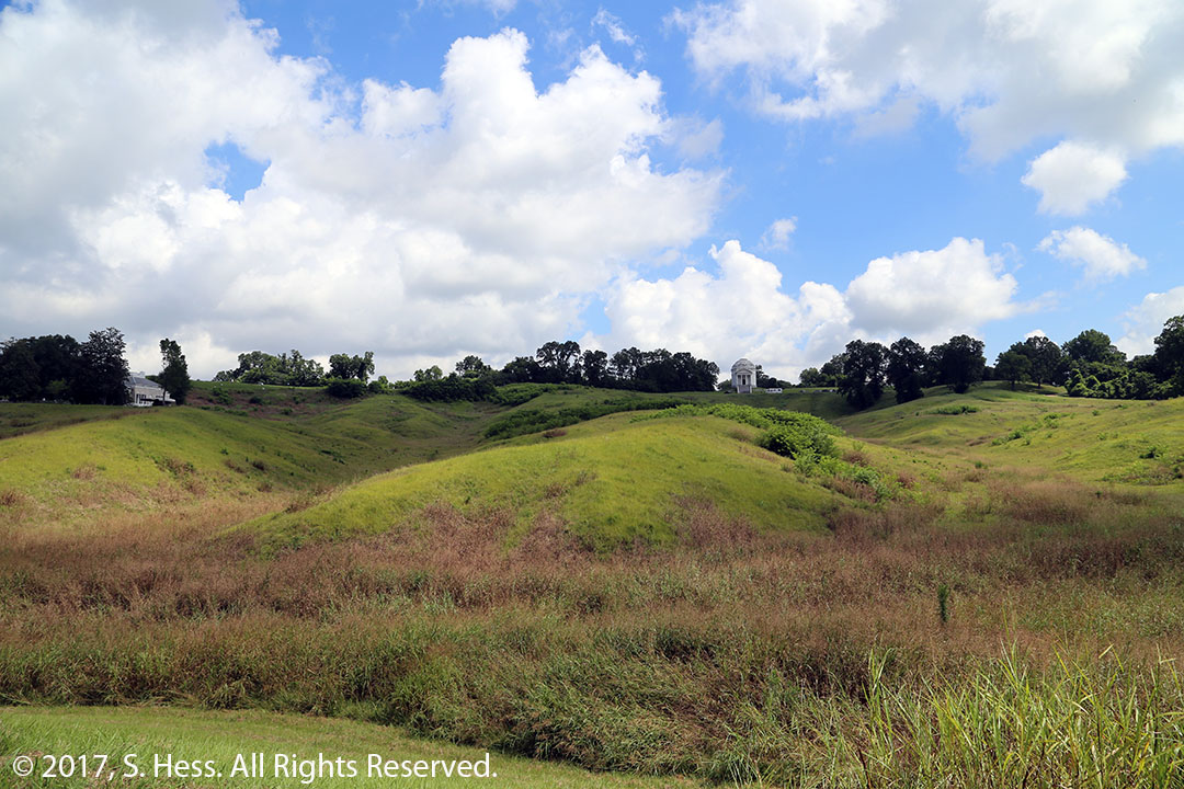
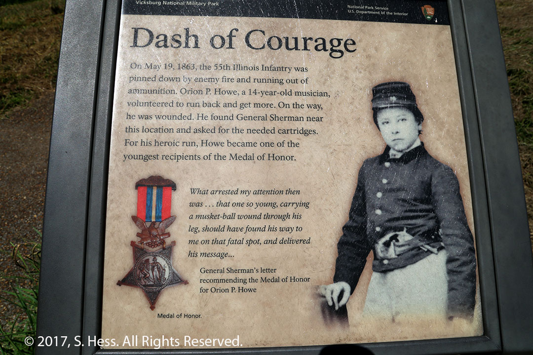
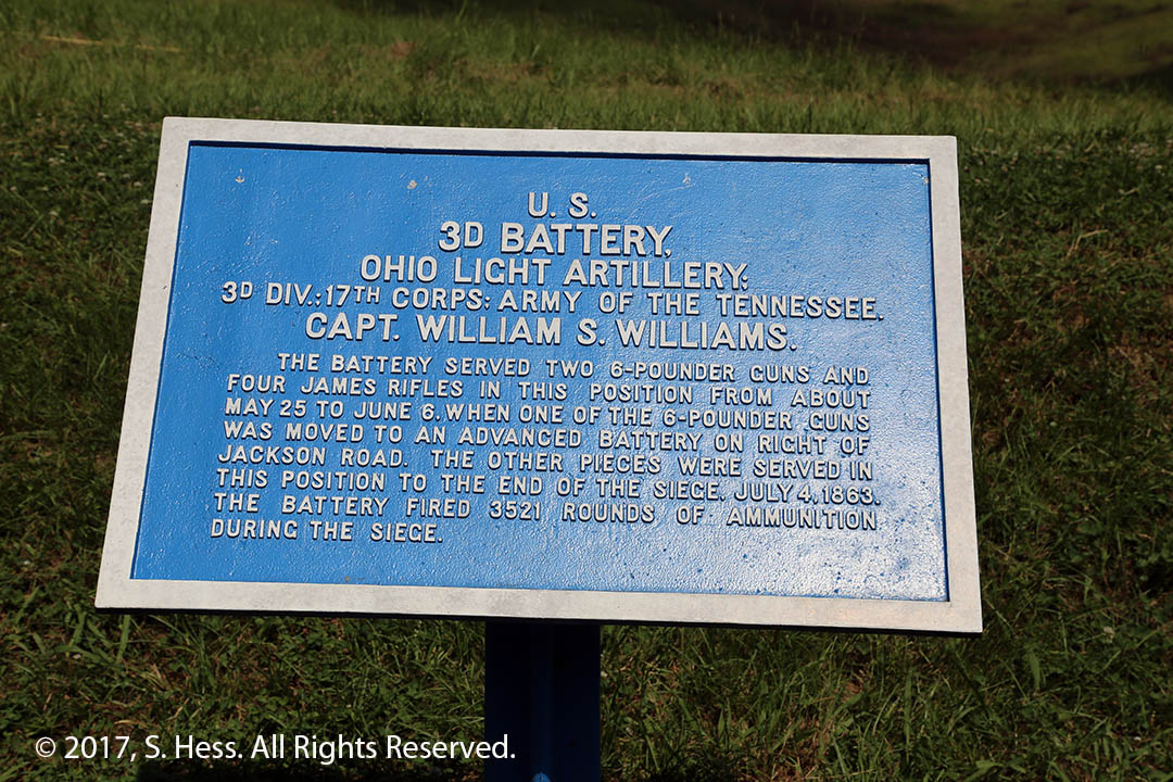
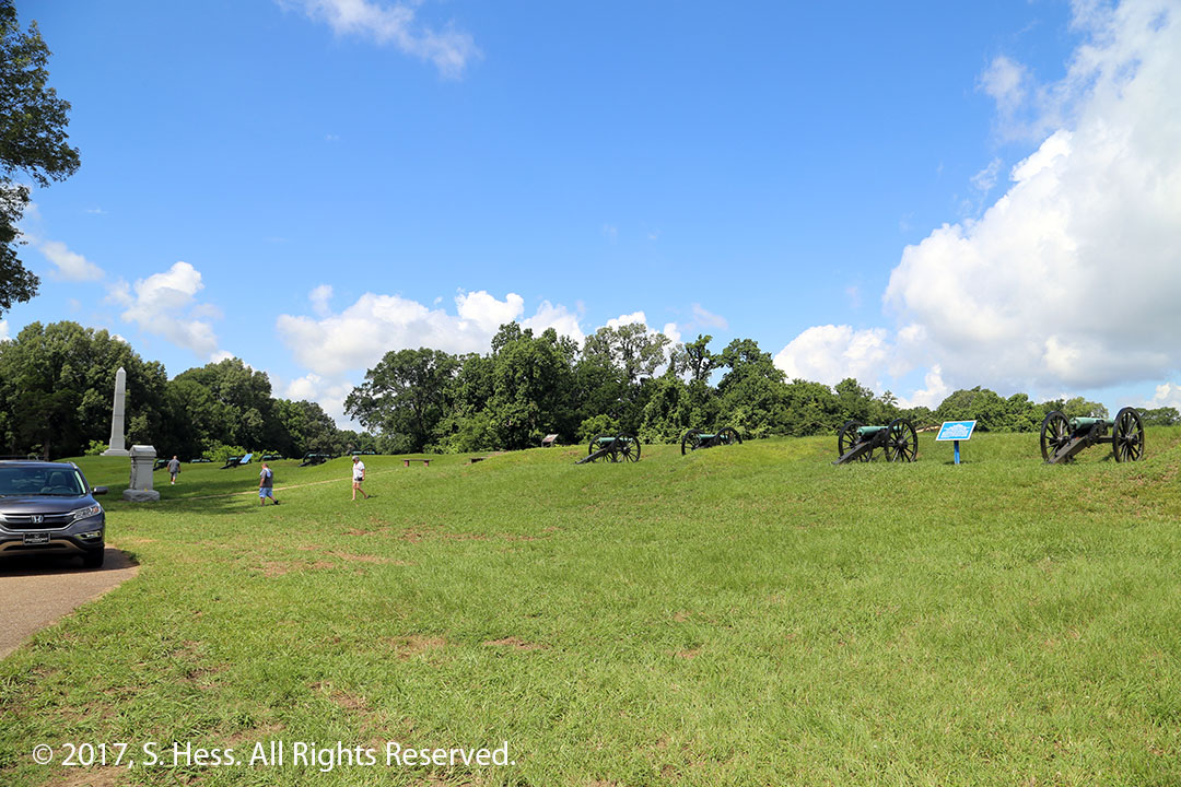
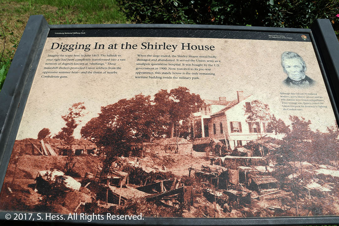
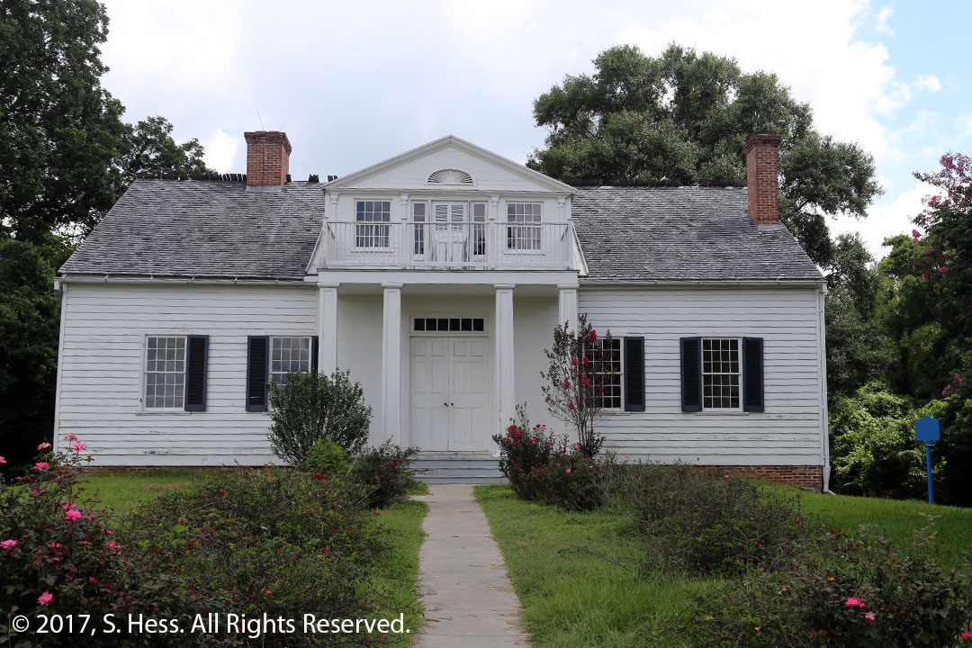
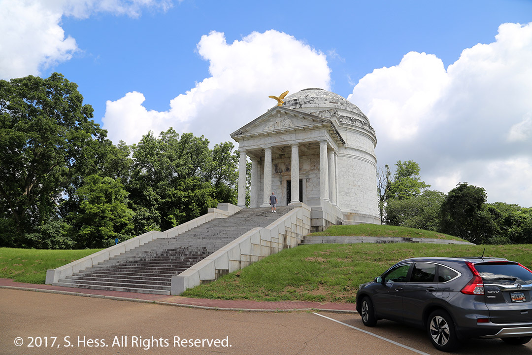
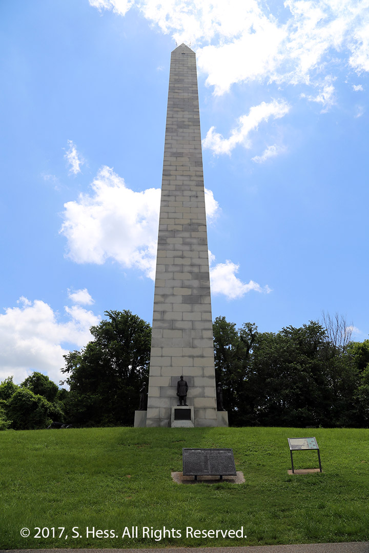

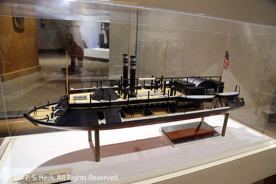
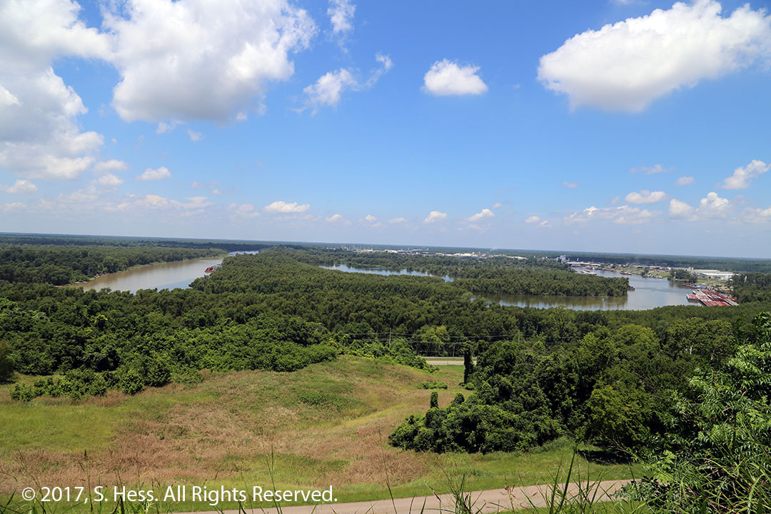
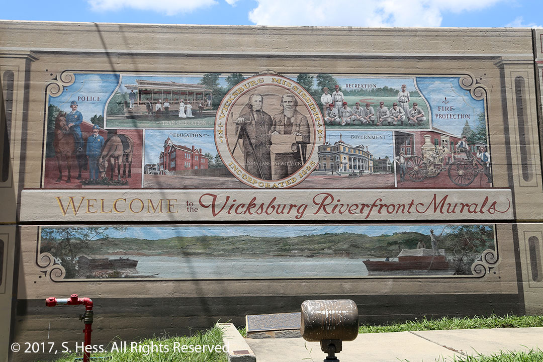
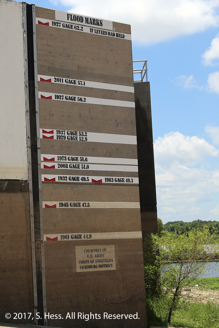
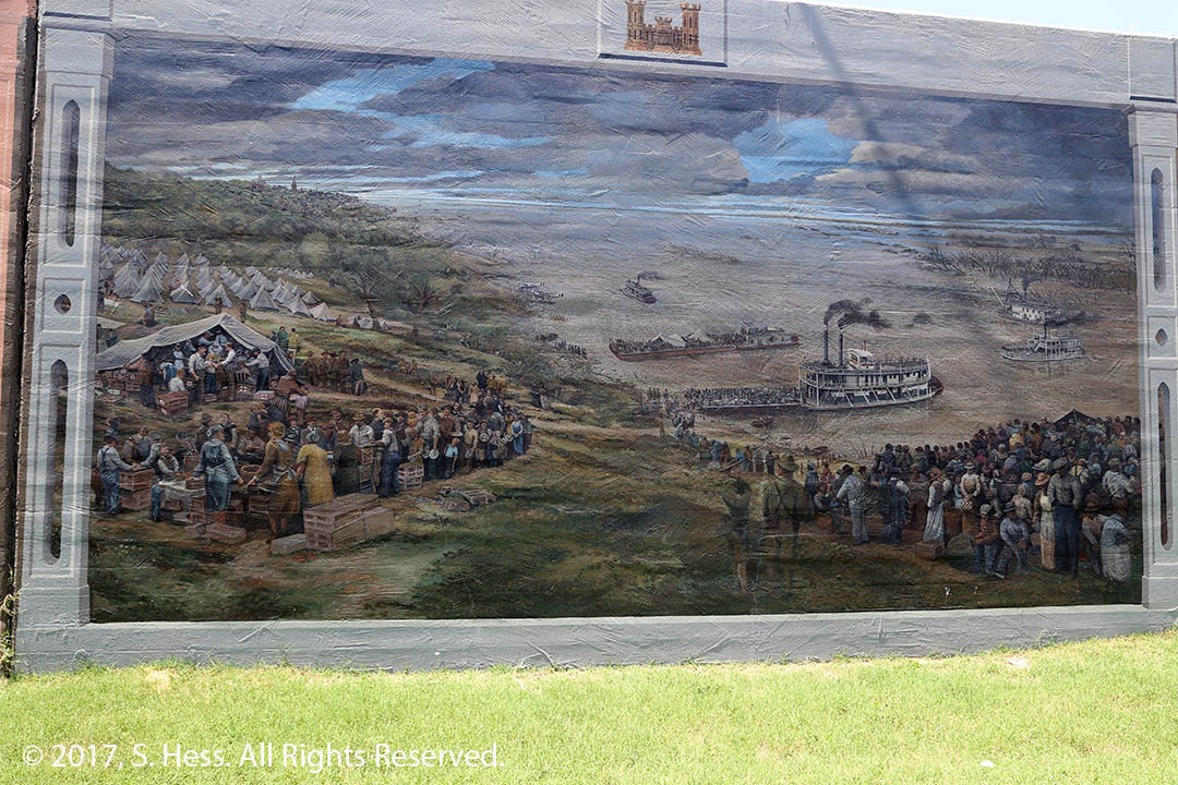
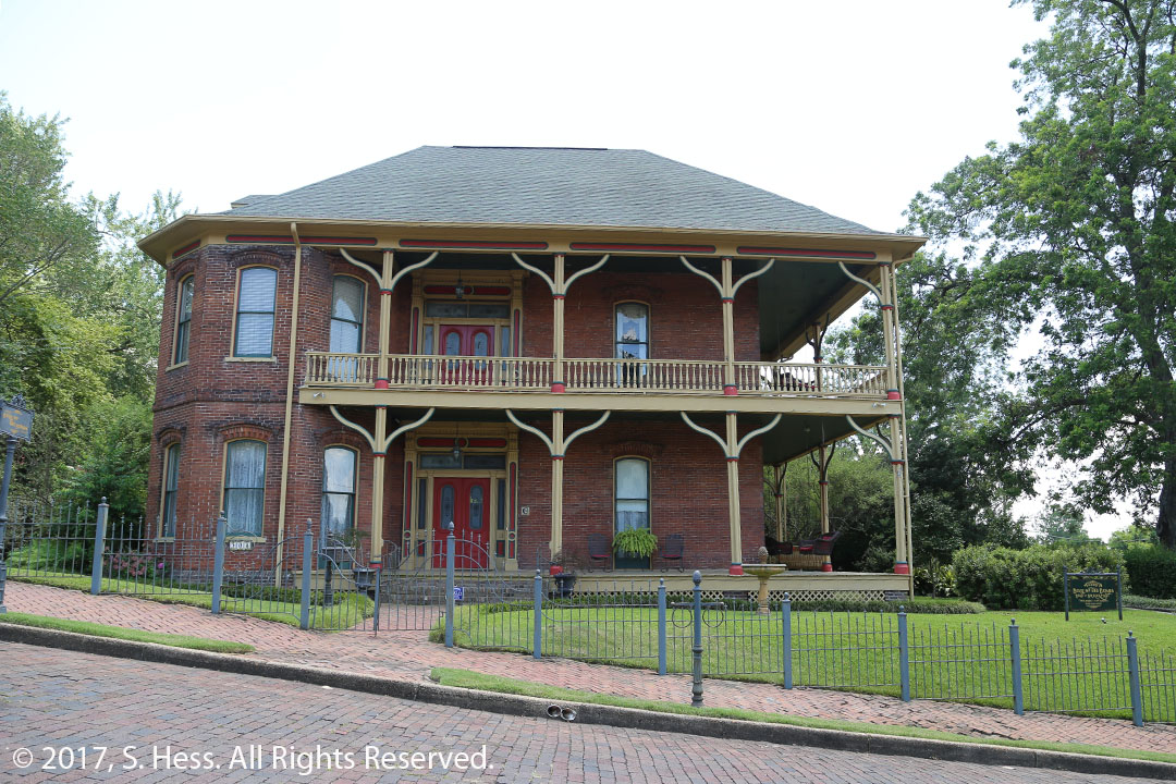
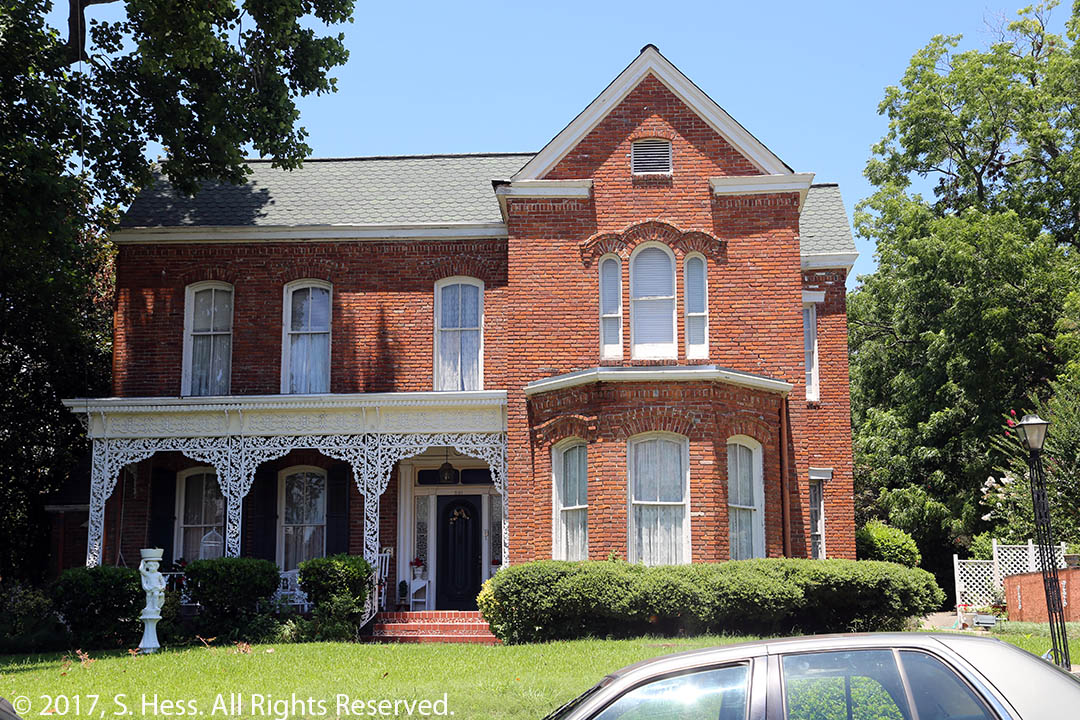
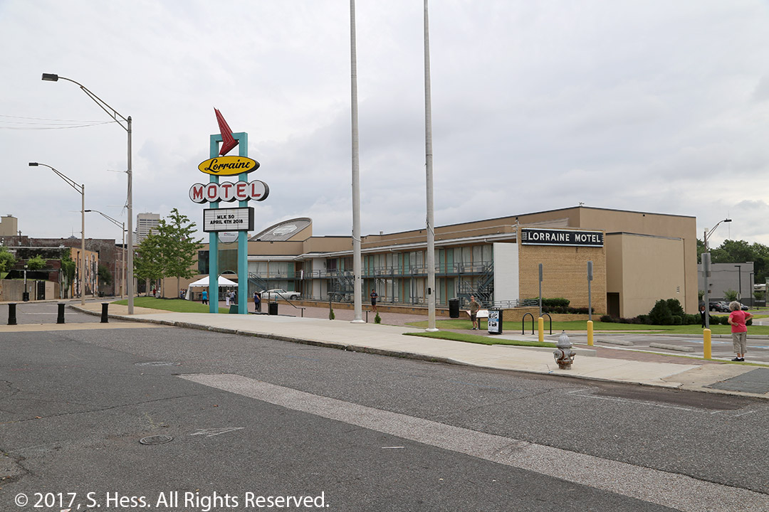

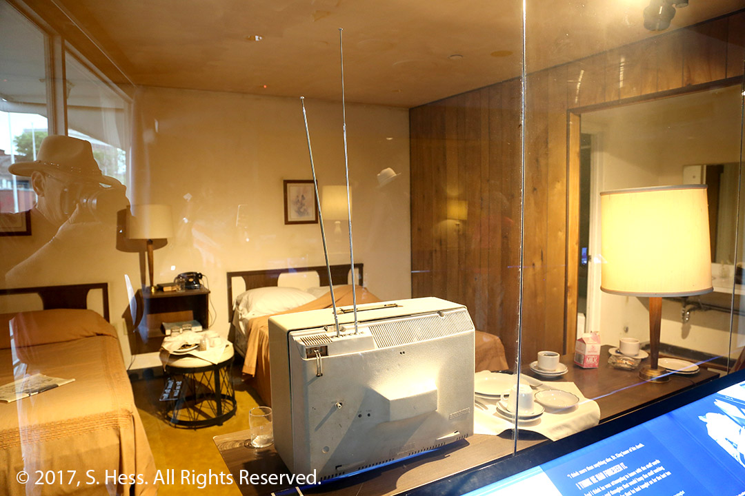
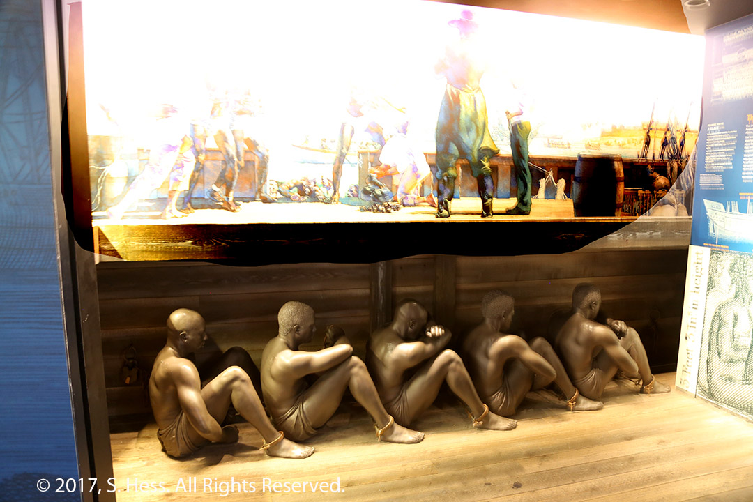
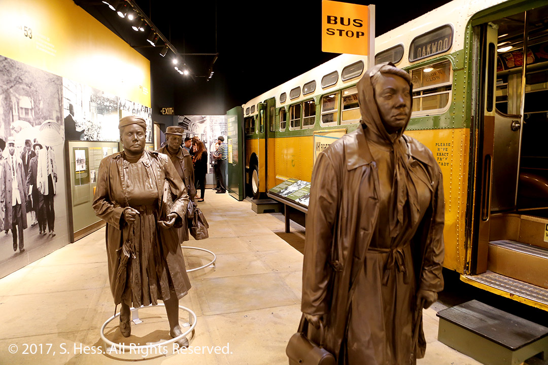
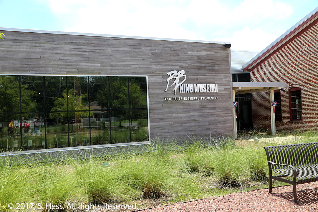

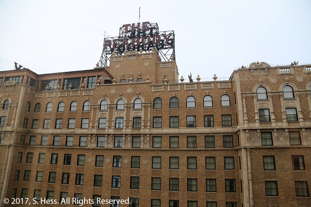
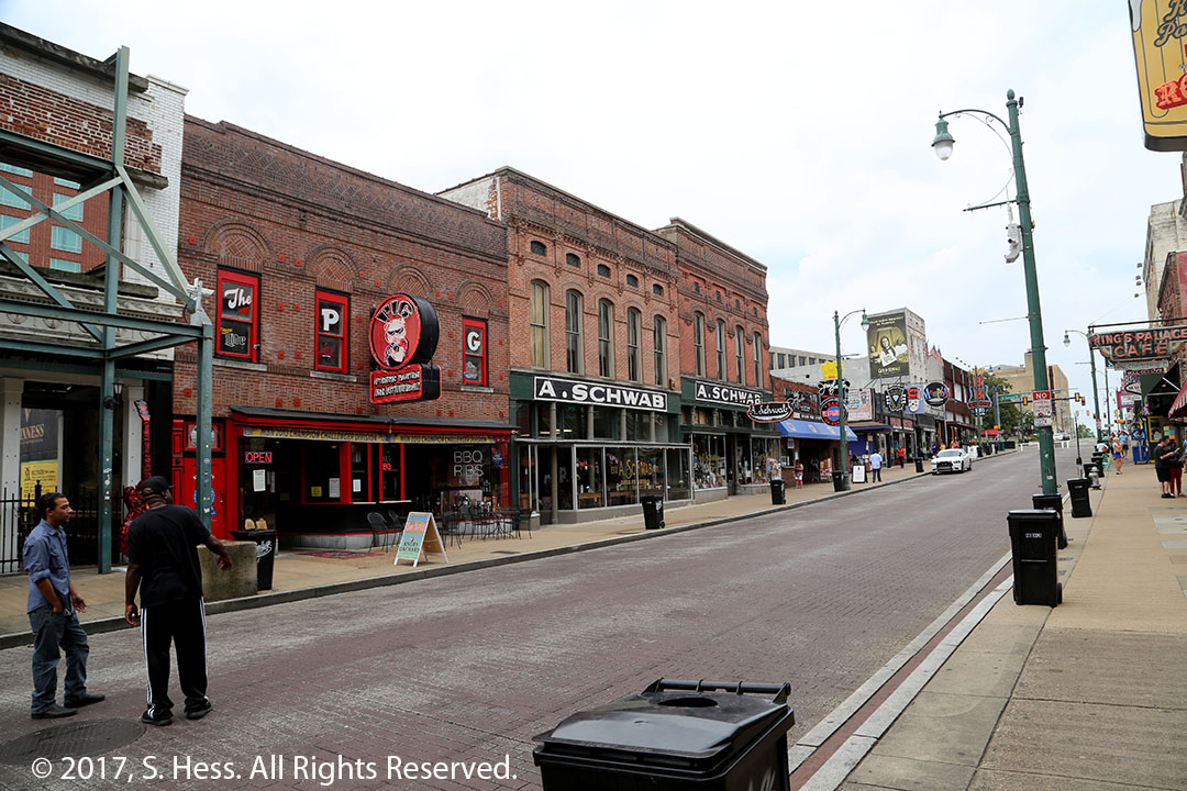
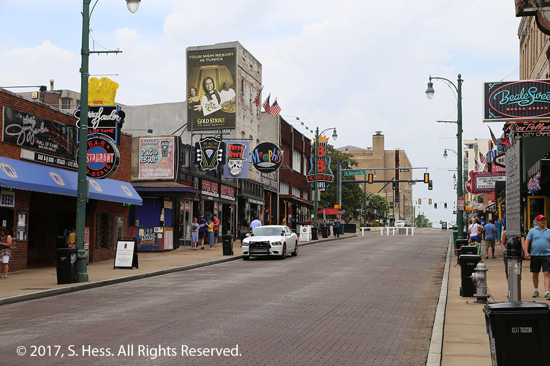
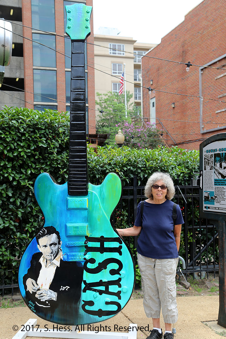
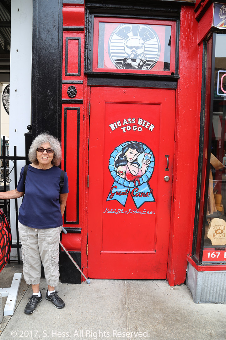
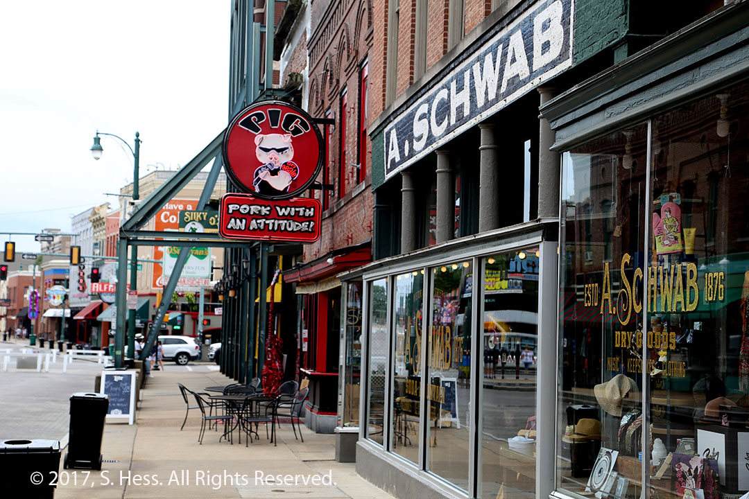
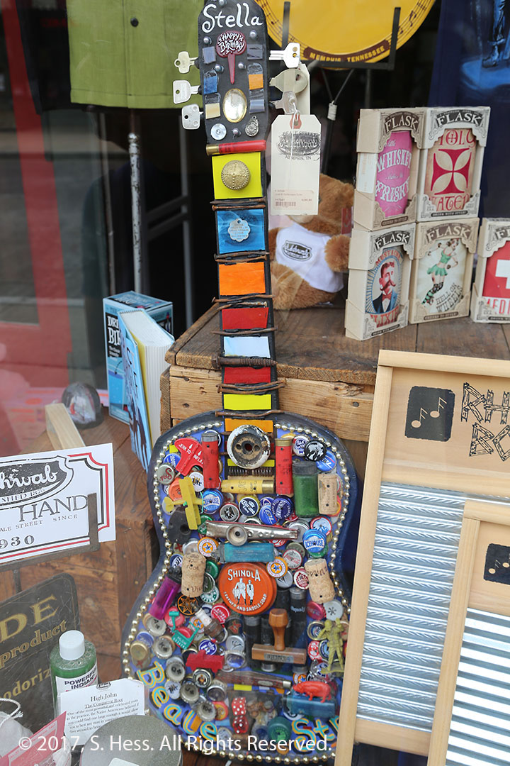
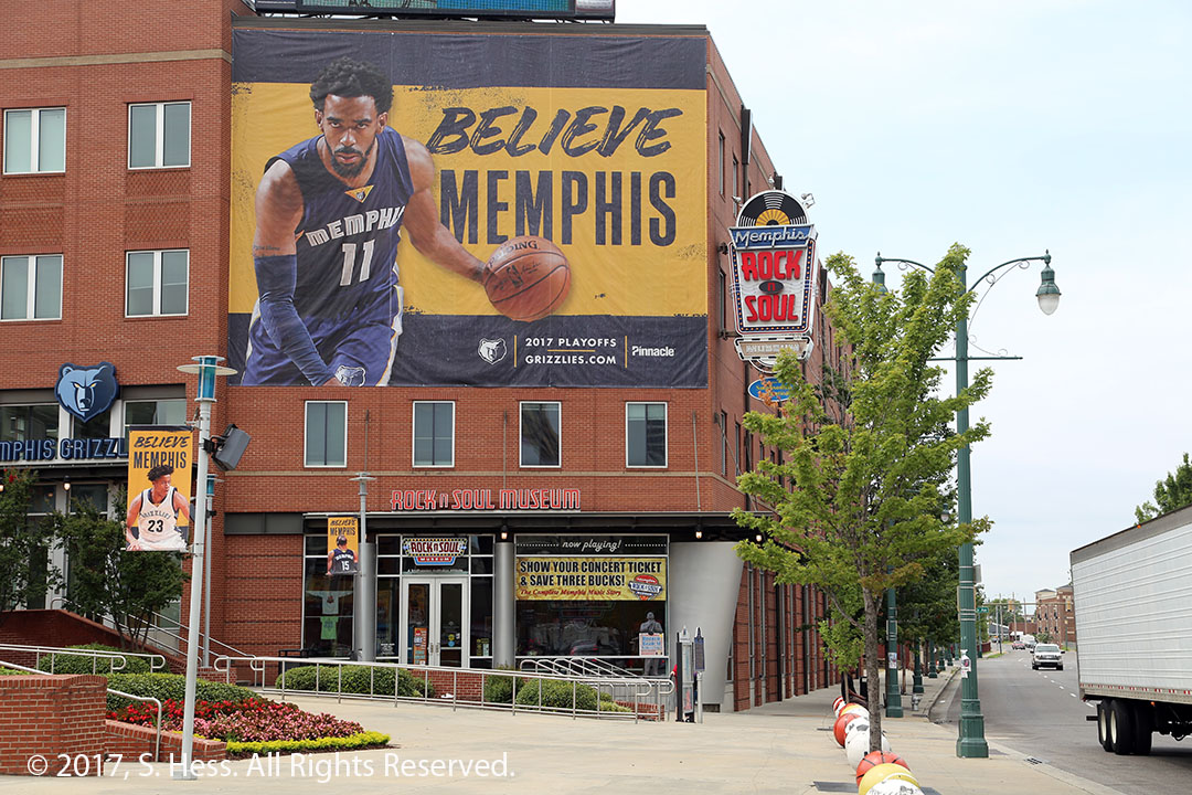
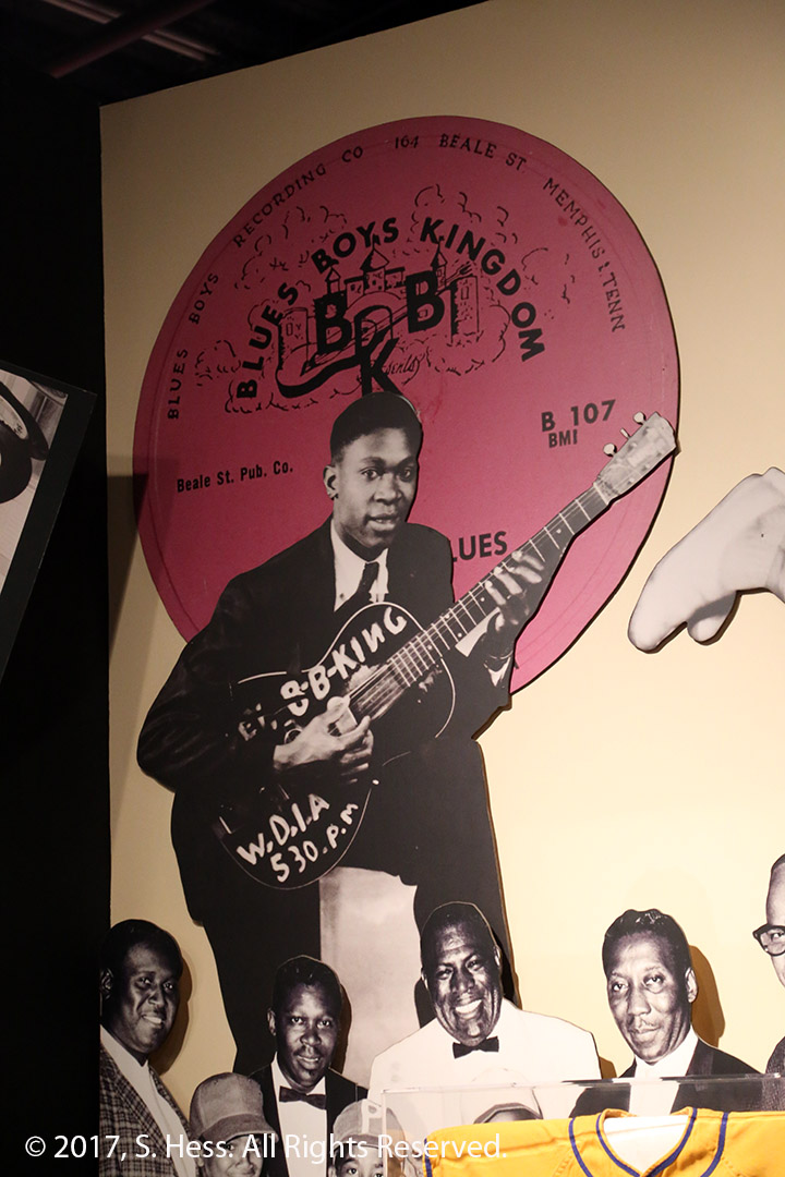

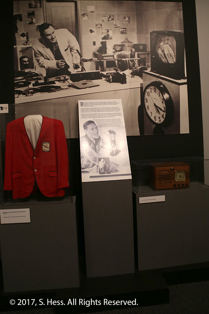
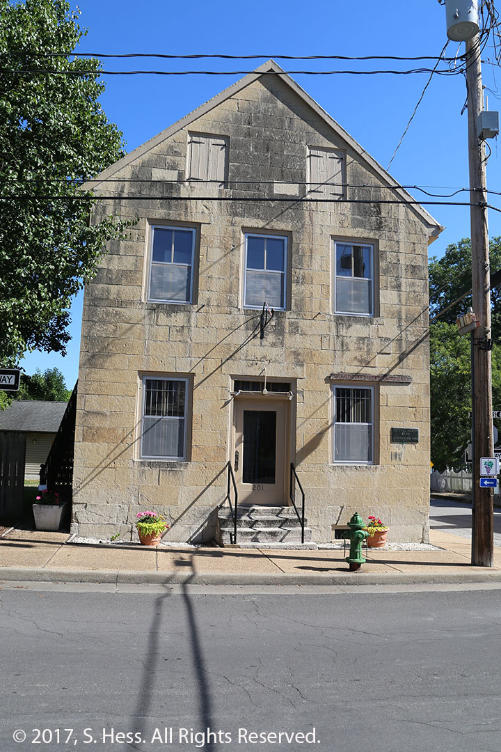
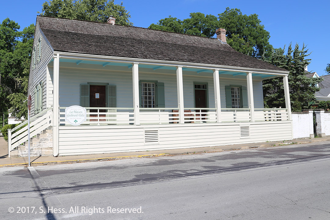
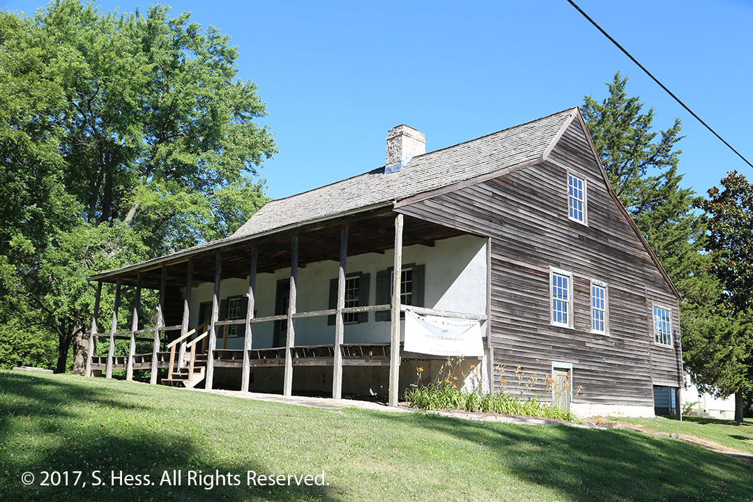
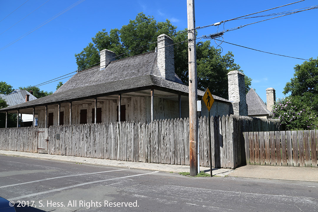
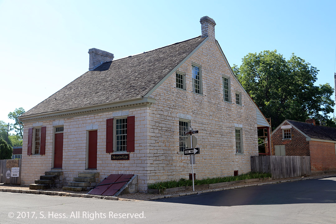

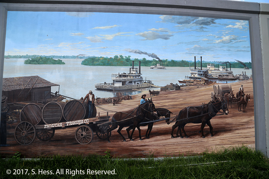
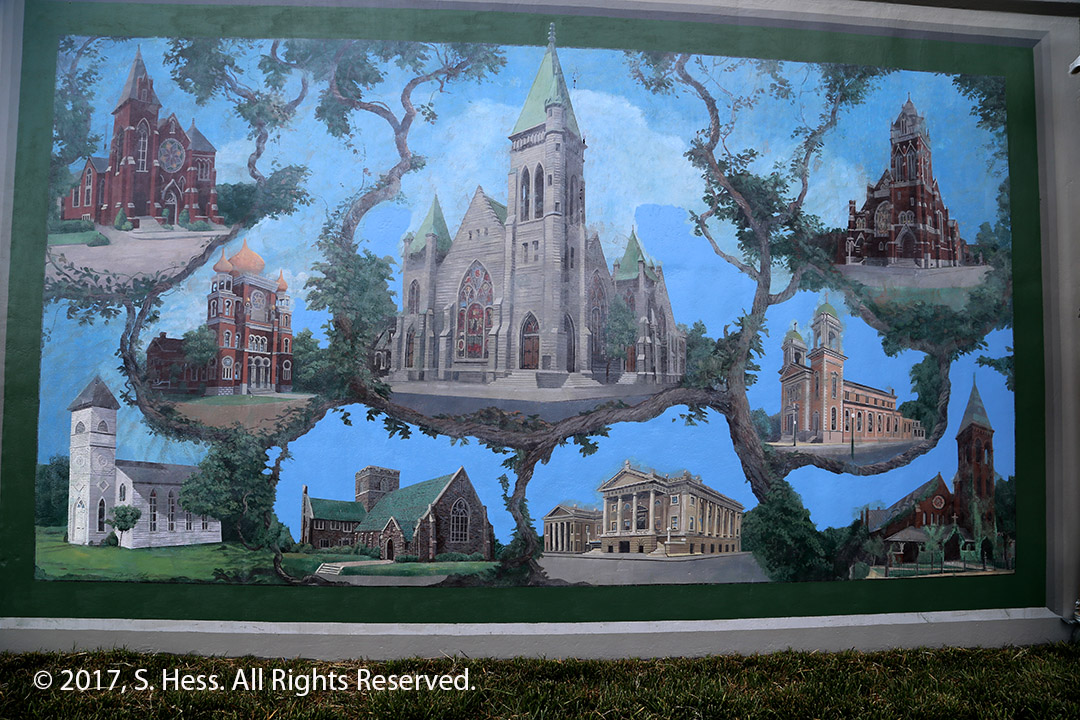
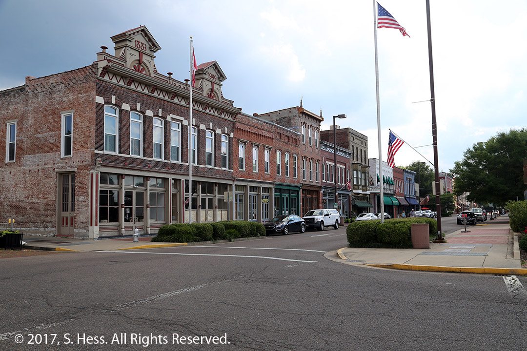
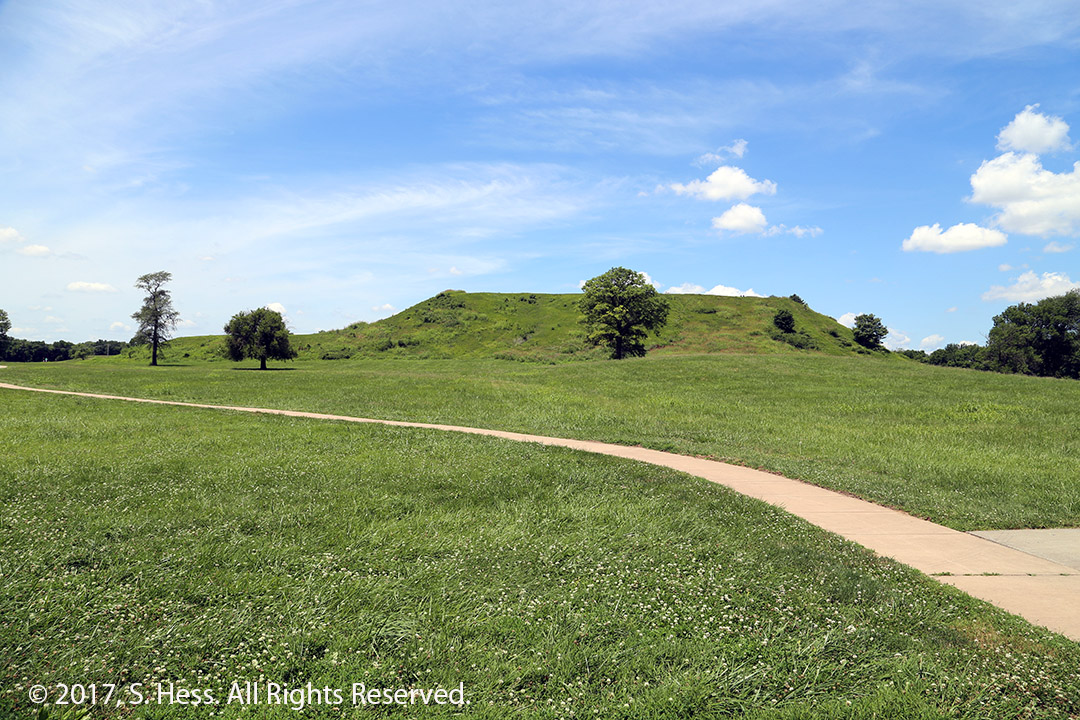
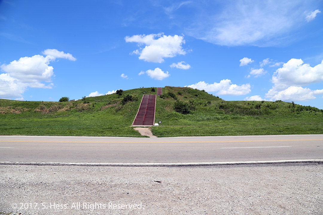

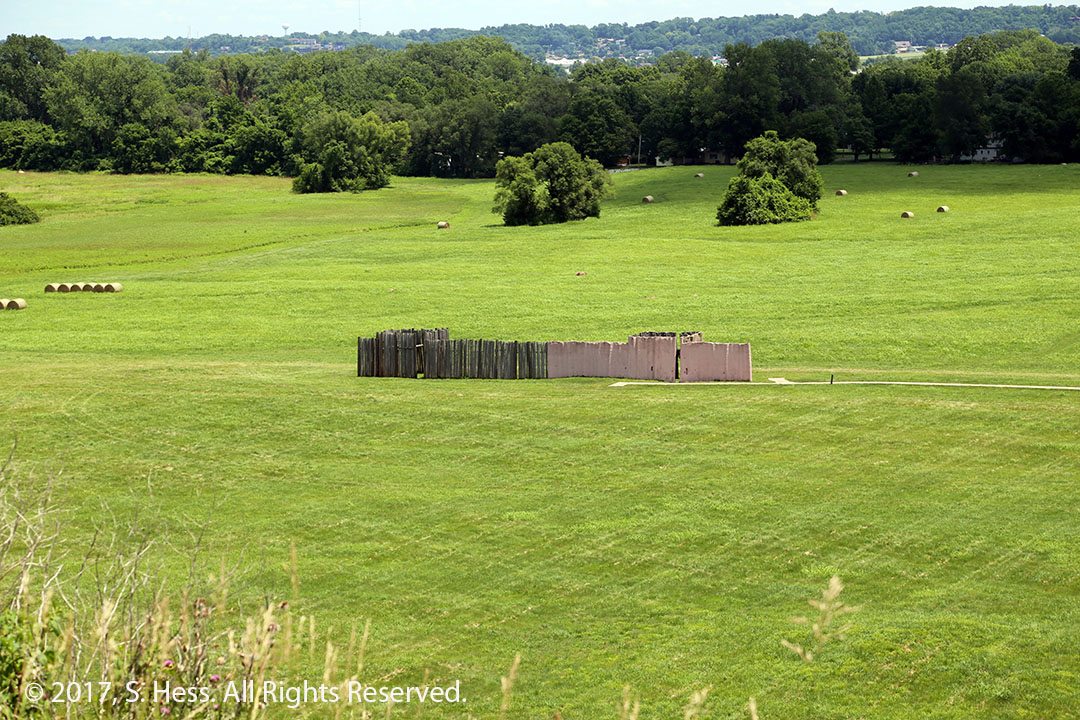
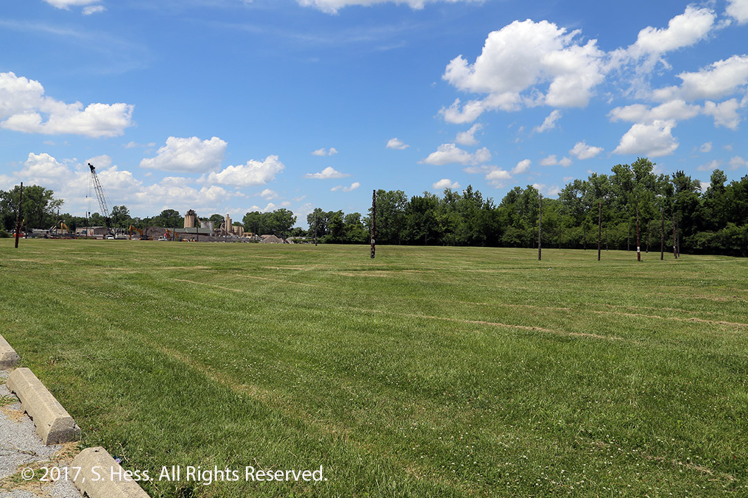


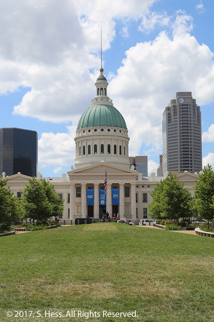
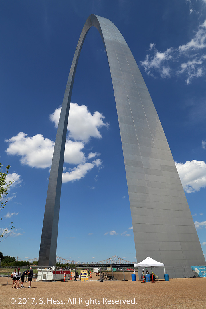
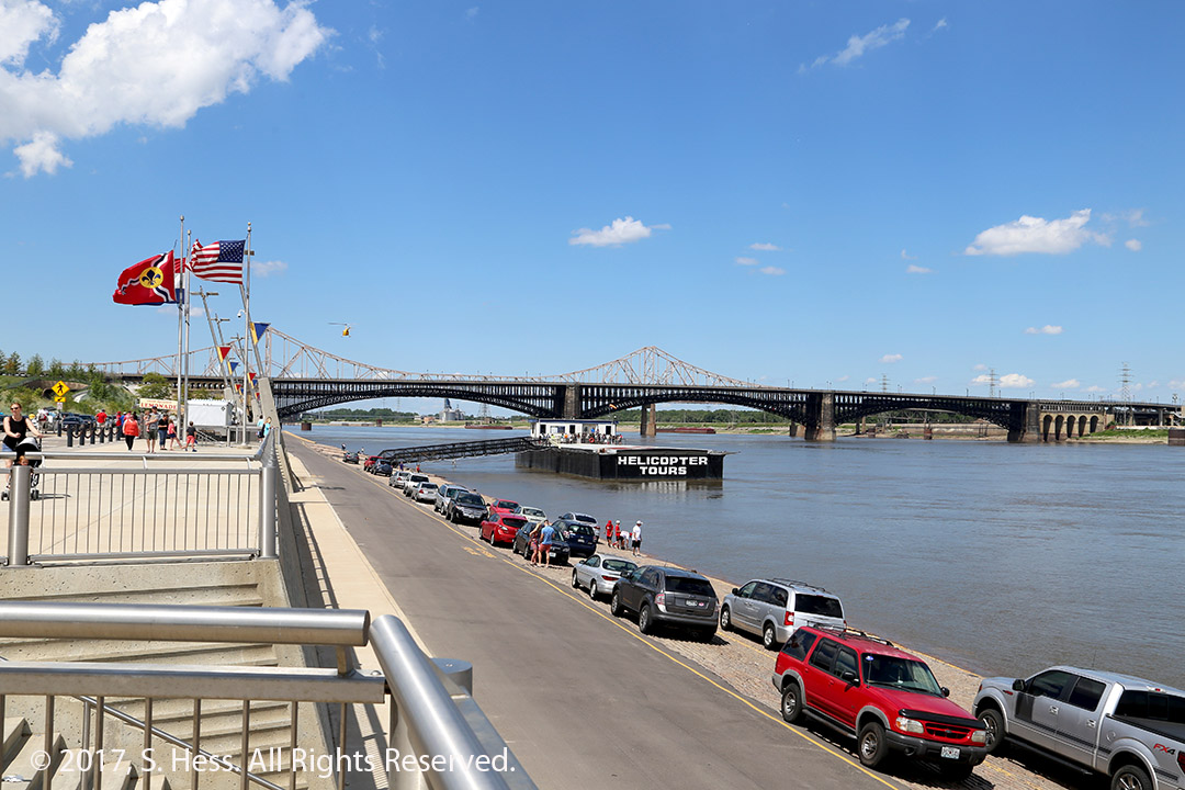
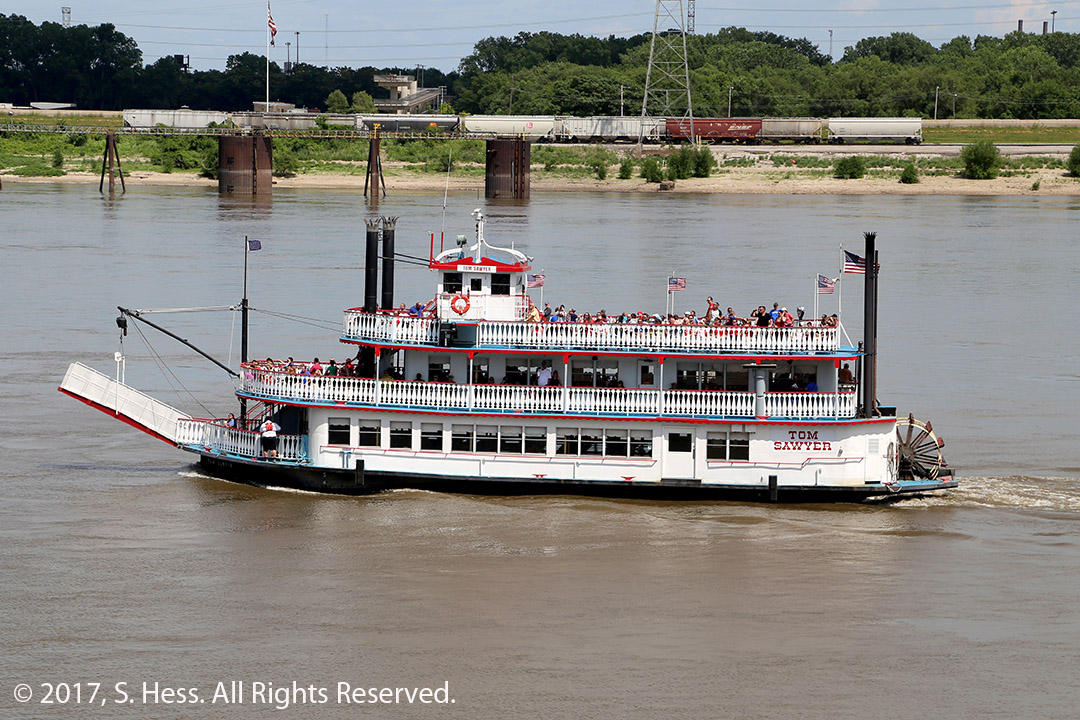
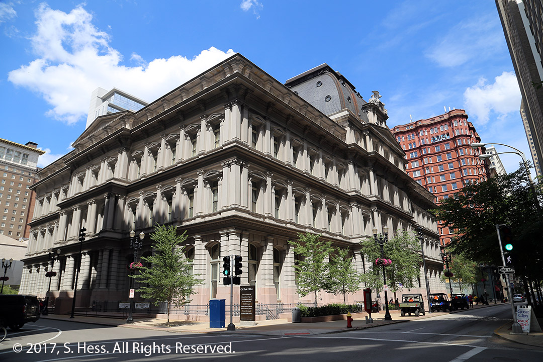
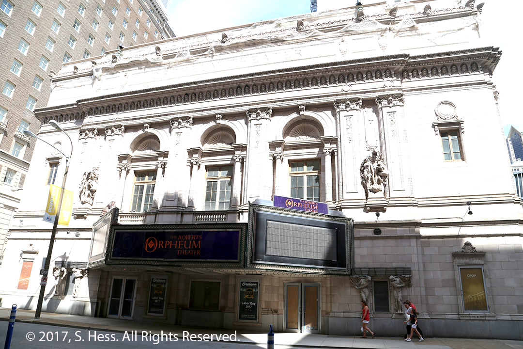

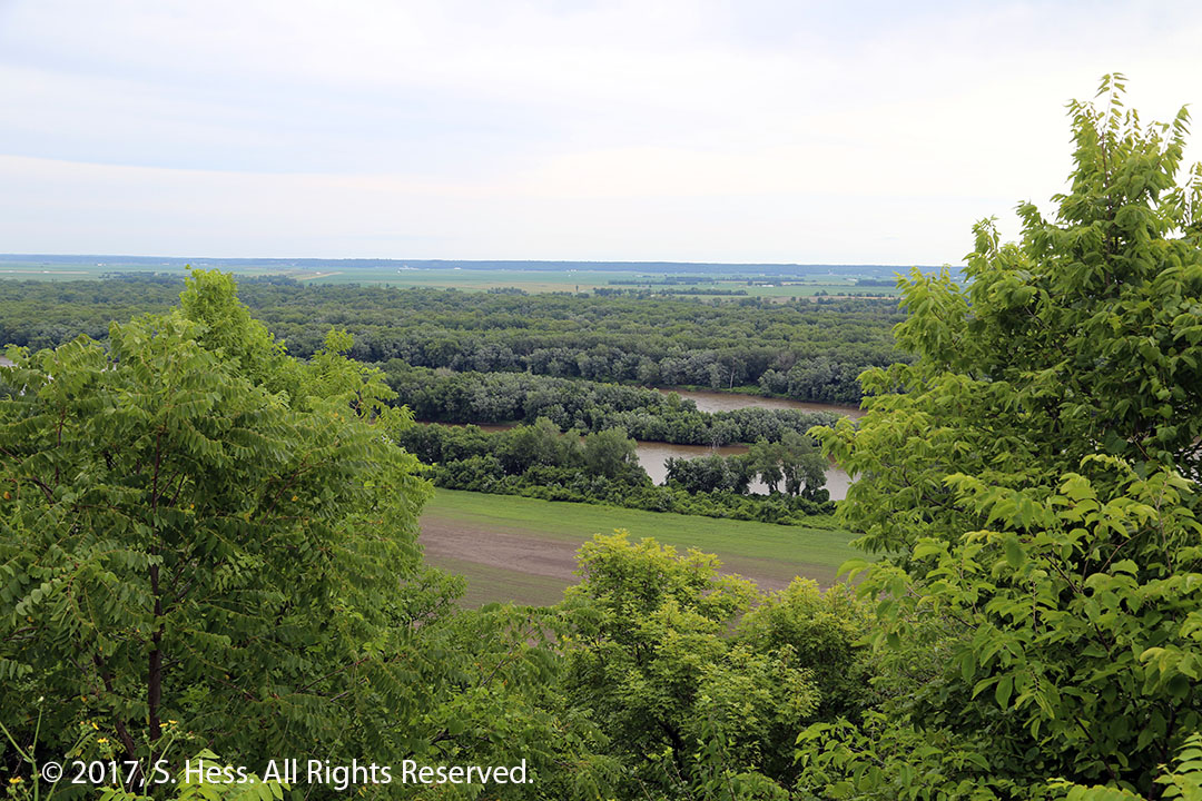

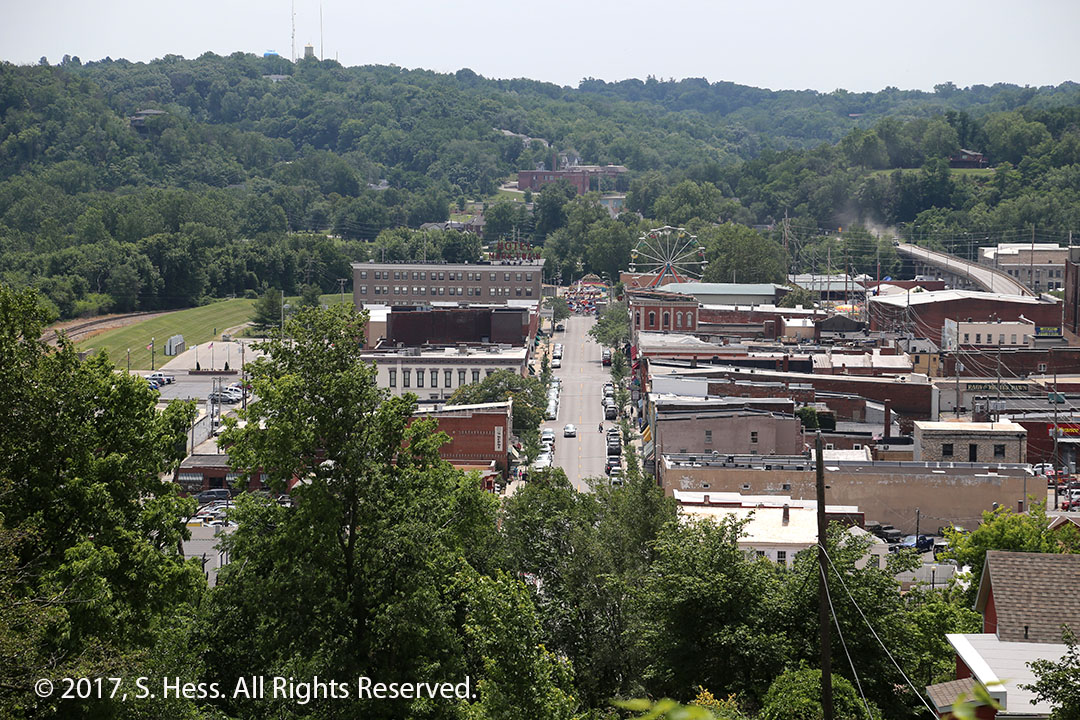
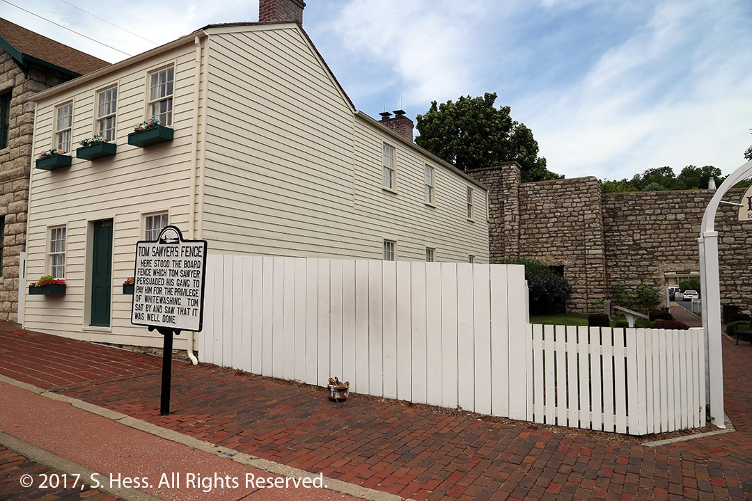
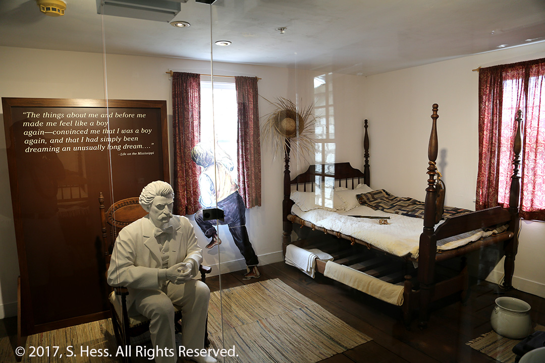
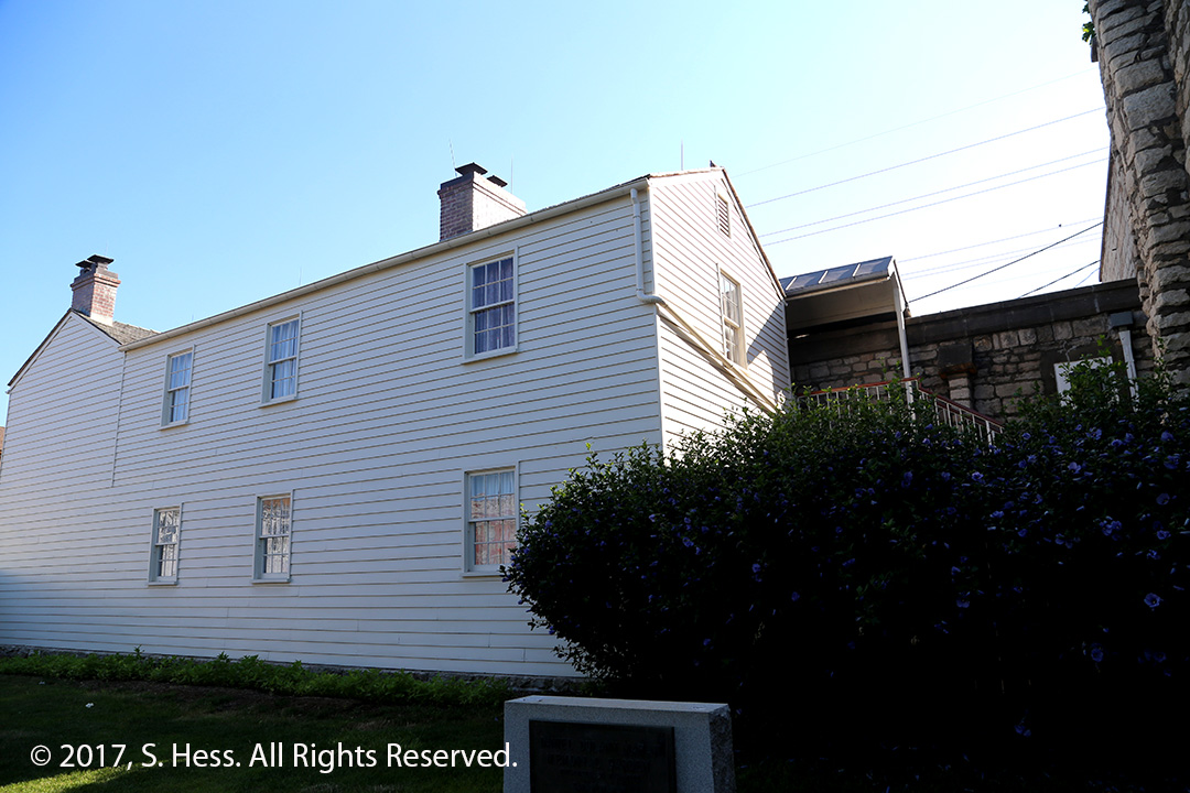
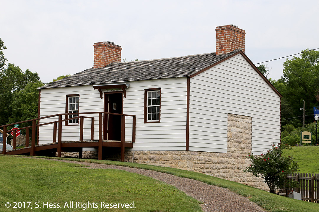
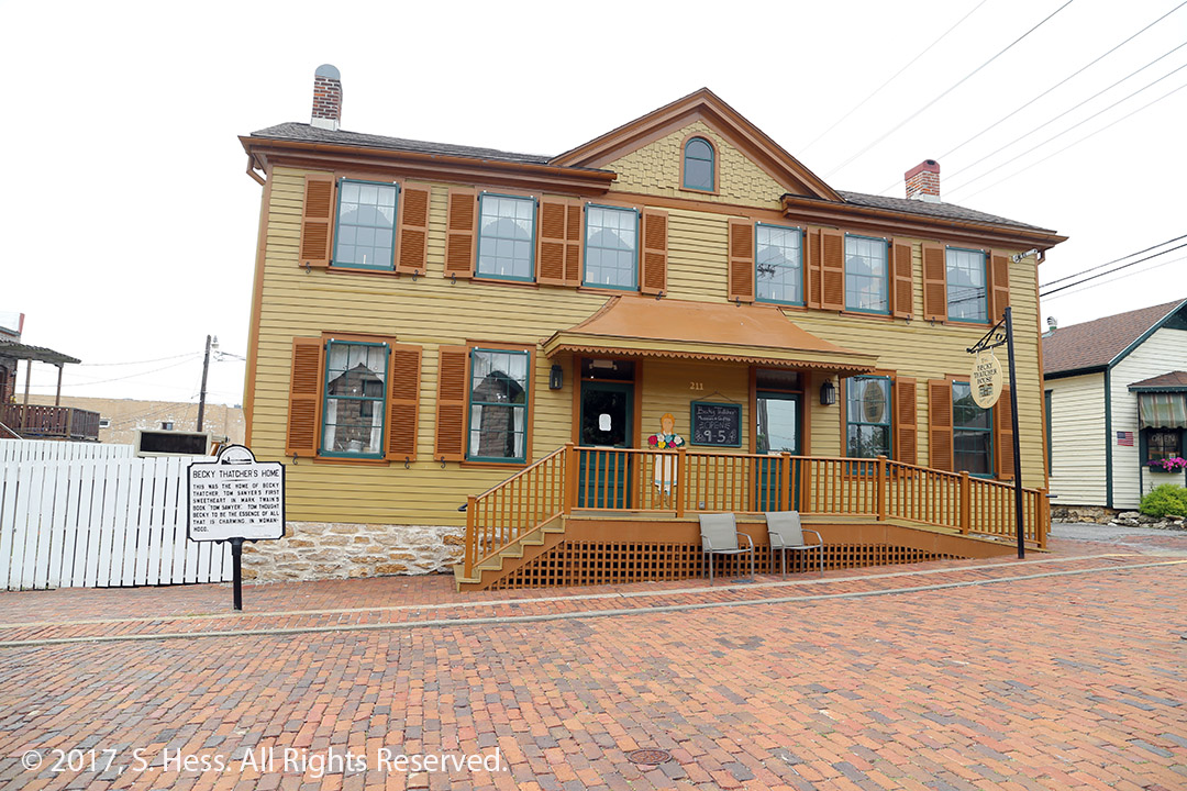
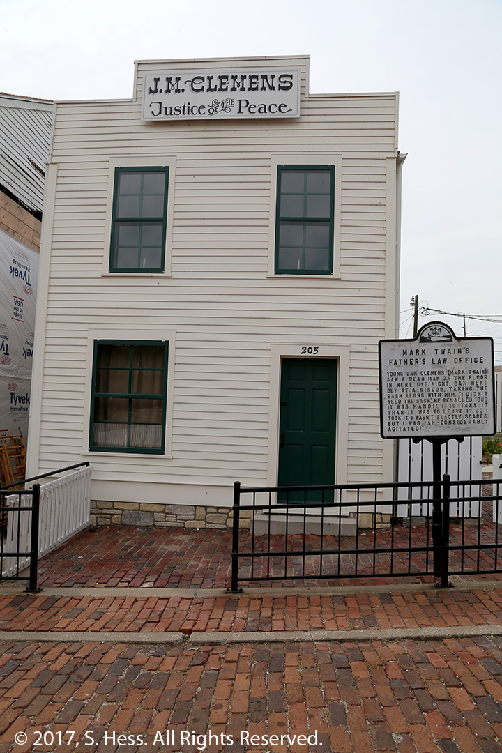
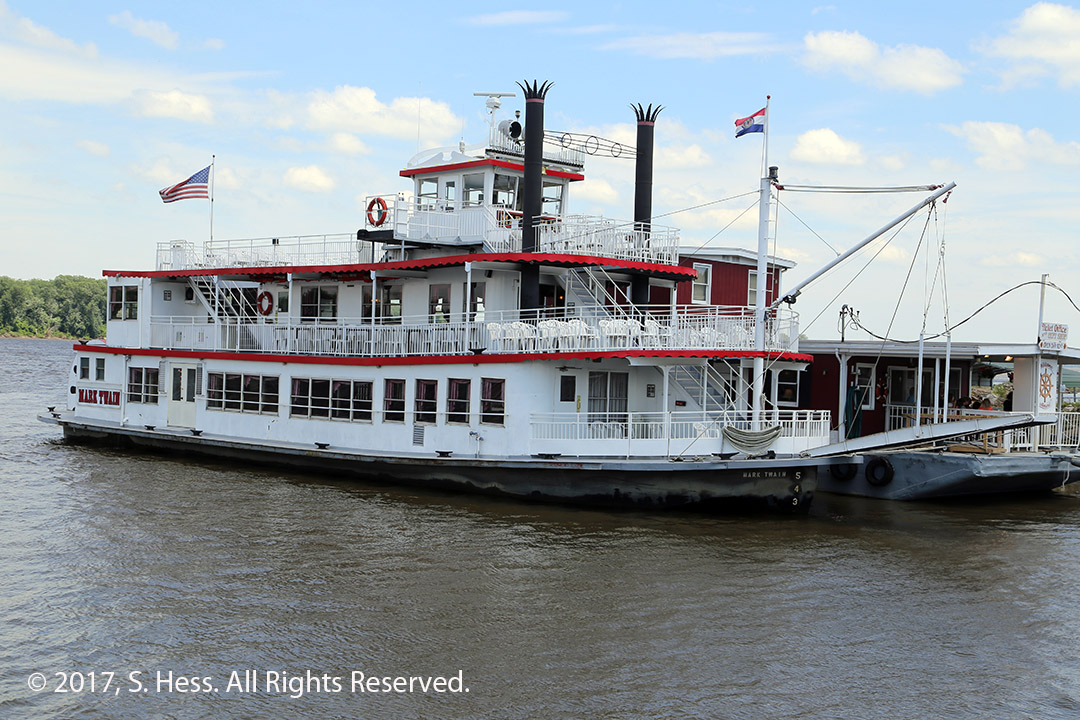
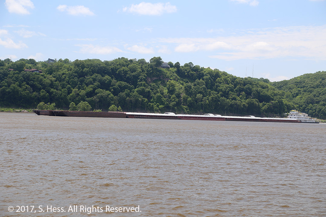
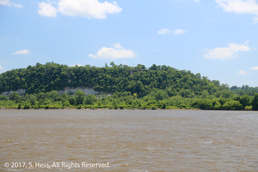
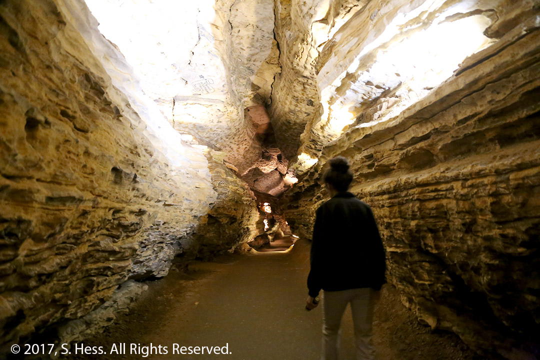
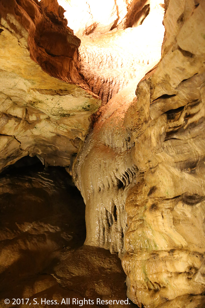
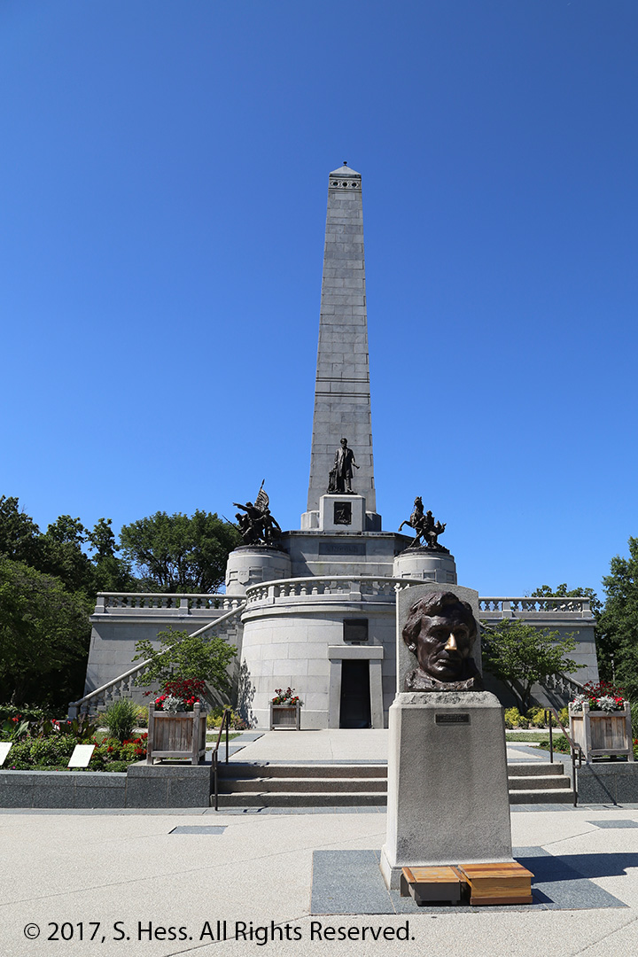
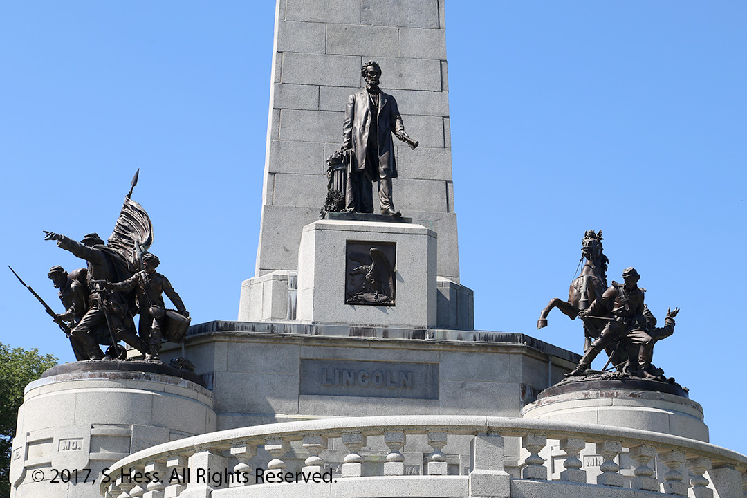
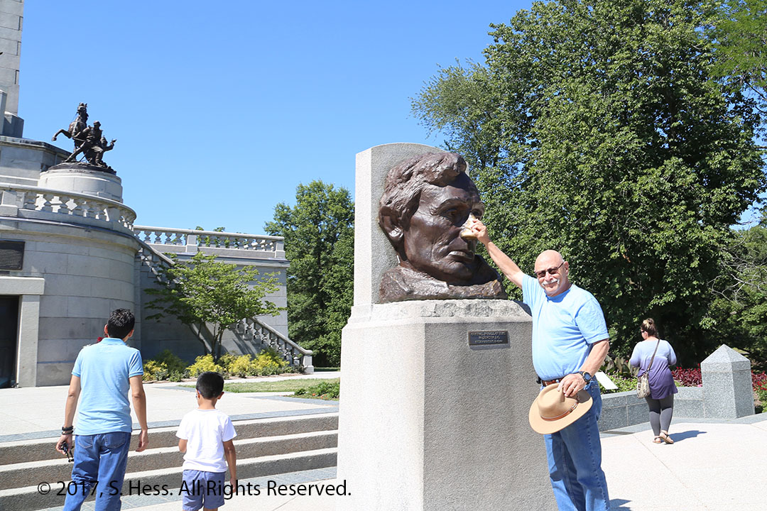
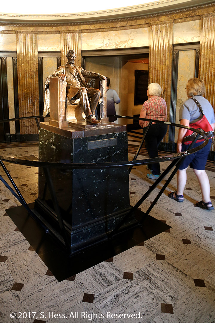
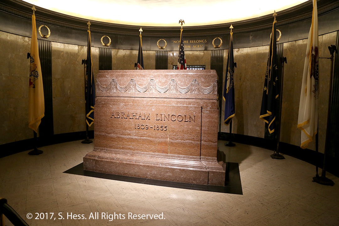
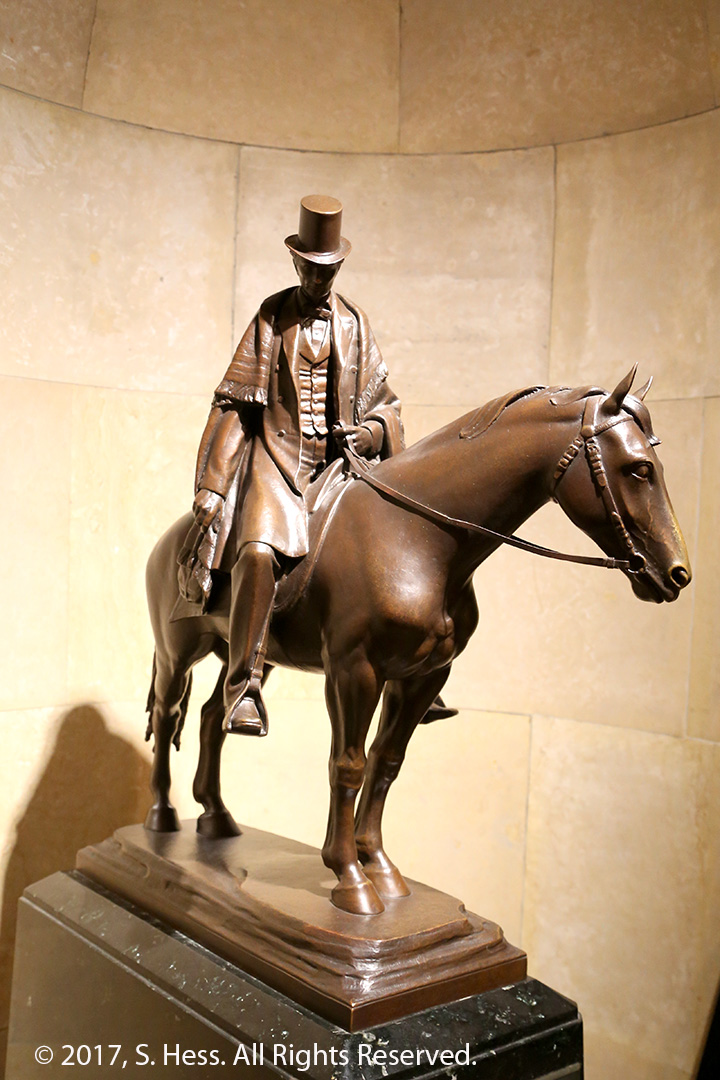

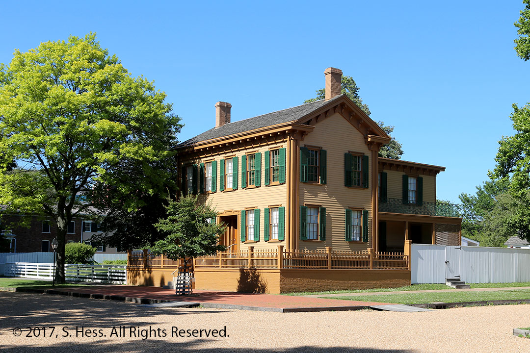
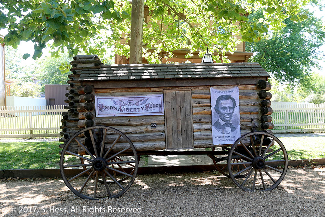
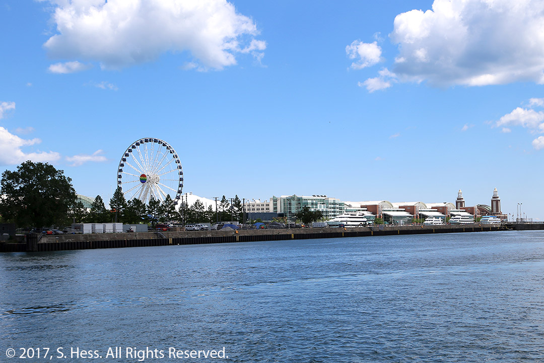
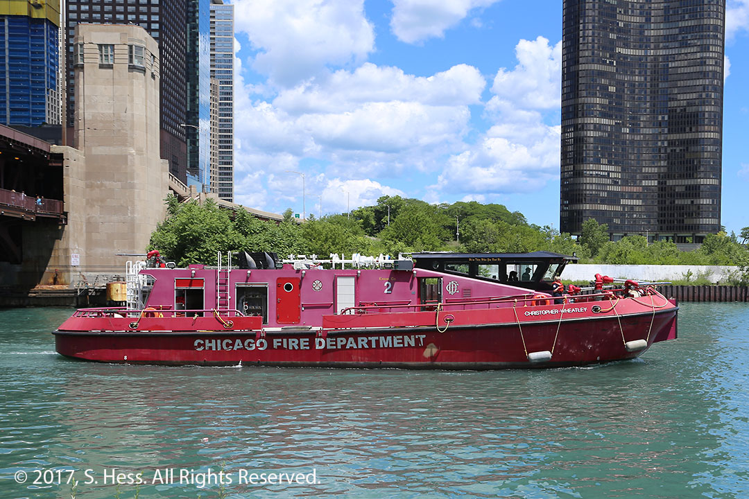
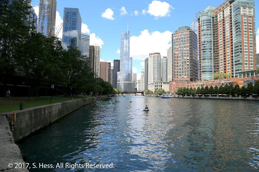
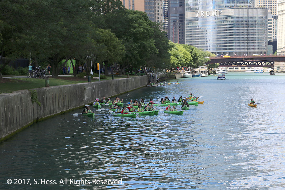
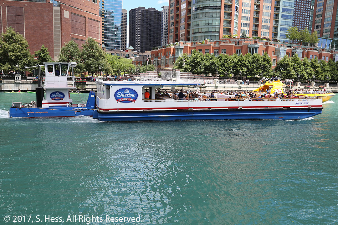
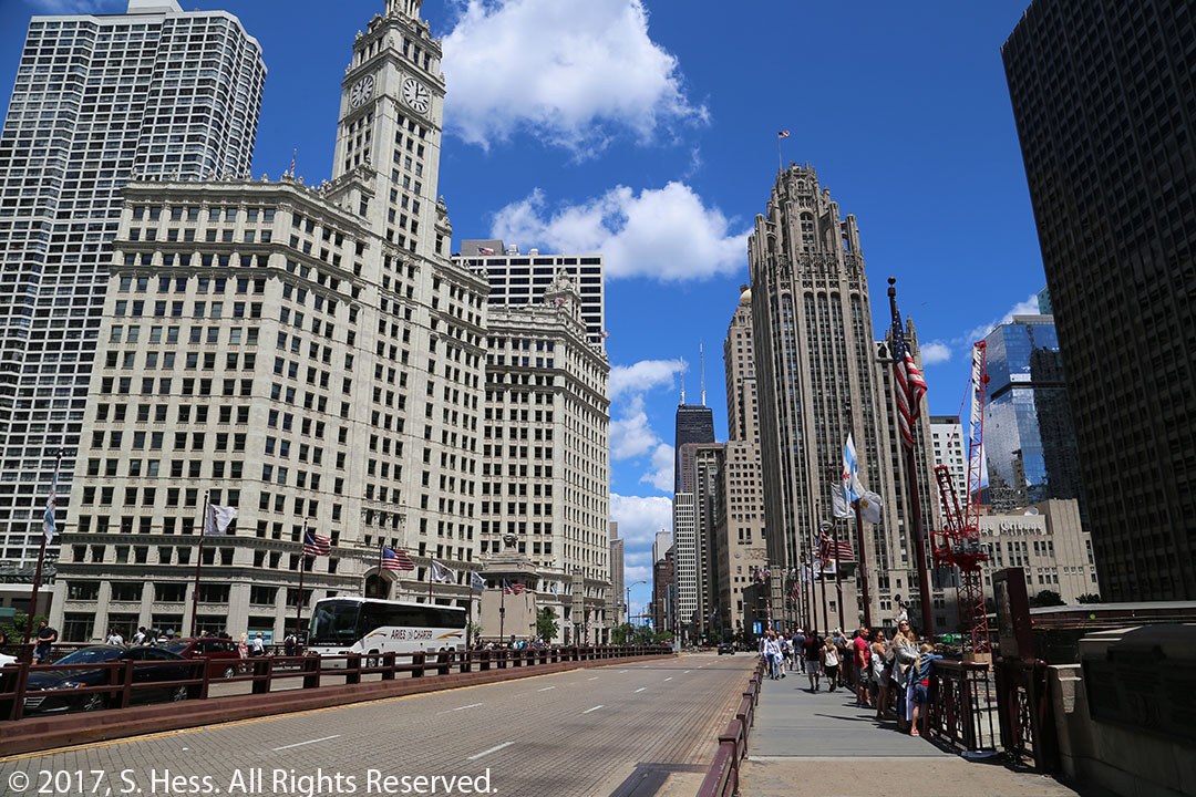
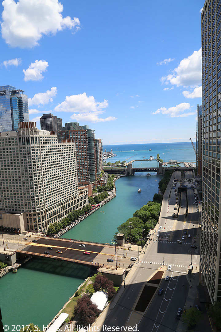

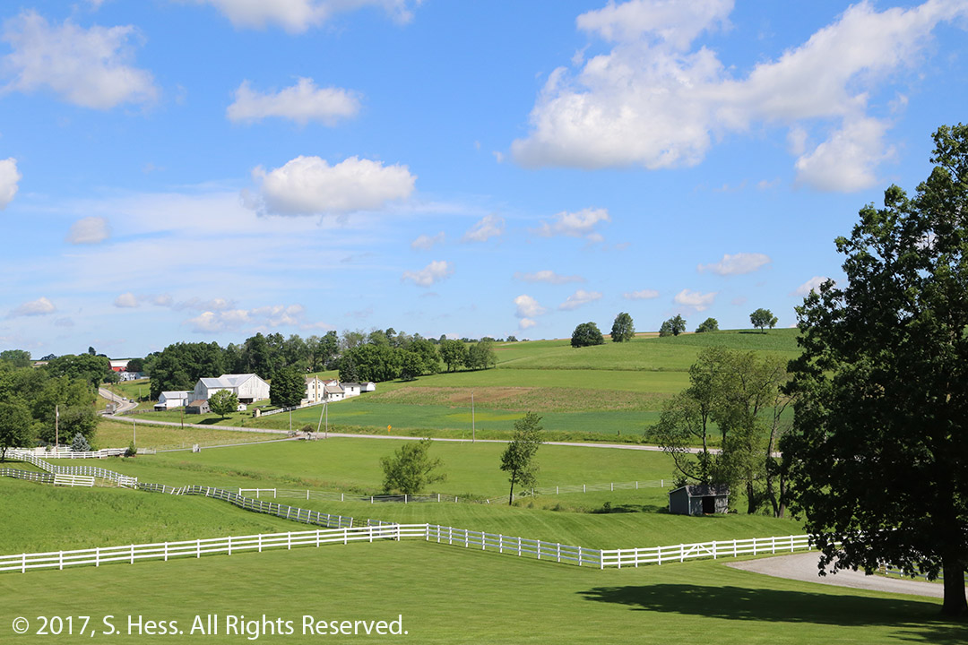

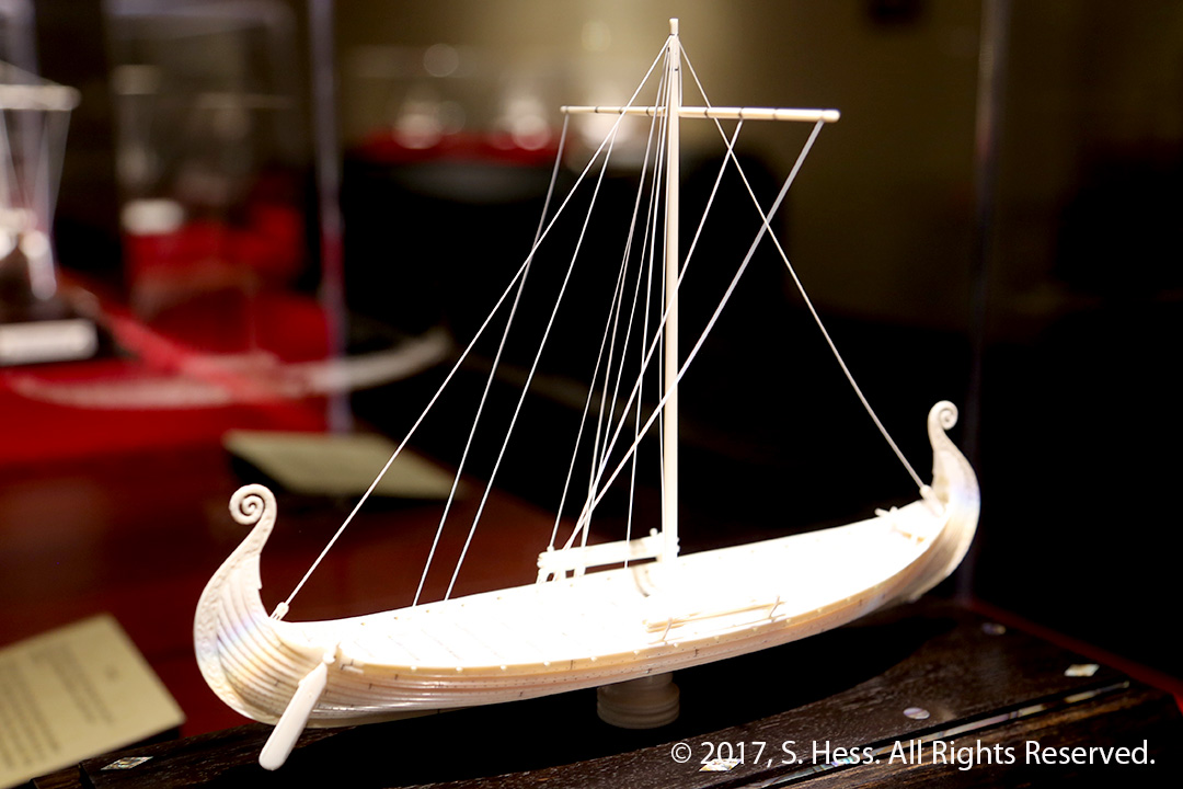
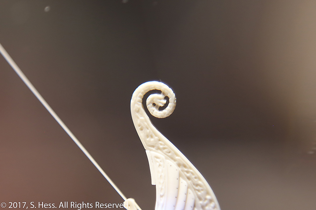
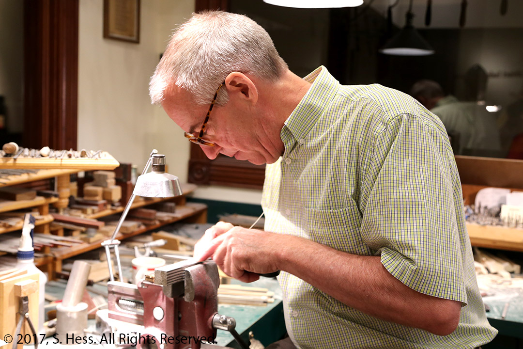