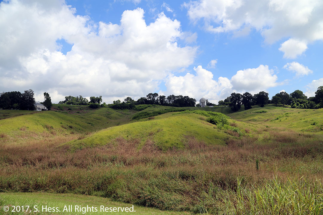
The Battle of Vicksburg was one of the most significant battles of the Civil War because it led to the Union’s control of the Mississippi River and effectively cut the Confederacy in half. The Confederate forces had the advantage of holding fortified high ground but the Union had twice the manpower. General Grant twice attacked the Confederate lines with little gain and high casualties. Grant decided to besiege the city, ultimately resulting in the surrender of the Confederate forces.
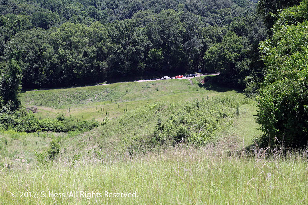
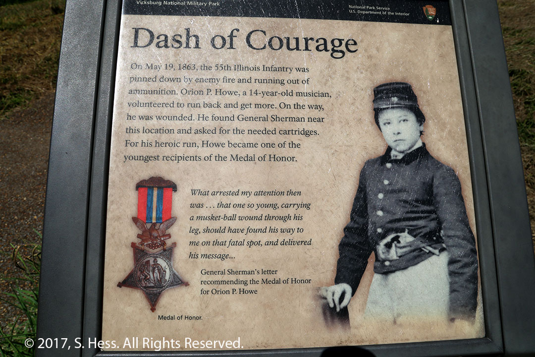
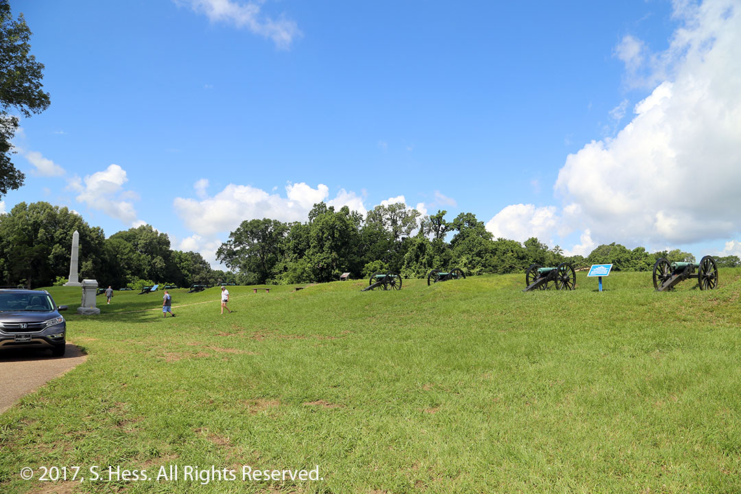
This is the type of terrain that the battle for Vicksburg was fought on.View from a Confederate position looking down on the Union position. Union engineers dug a tunnel under the ridge (where the cars are parked) and then dug a covered trench to allow them to get closer to rebel fortifications.Child Medal of Honor recipient.
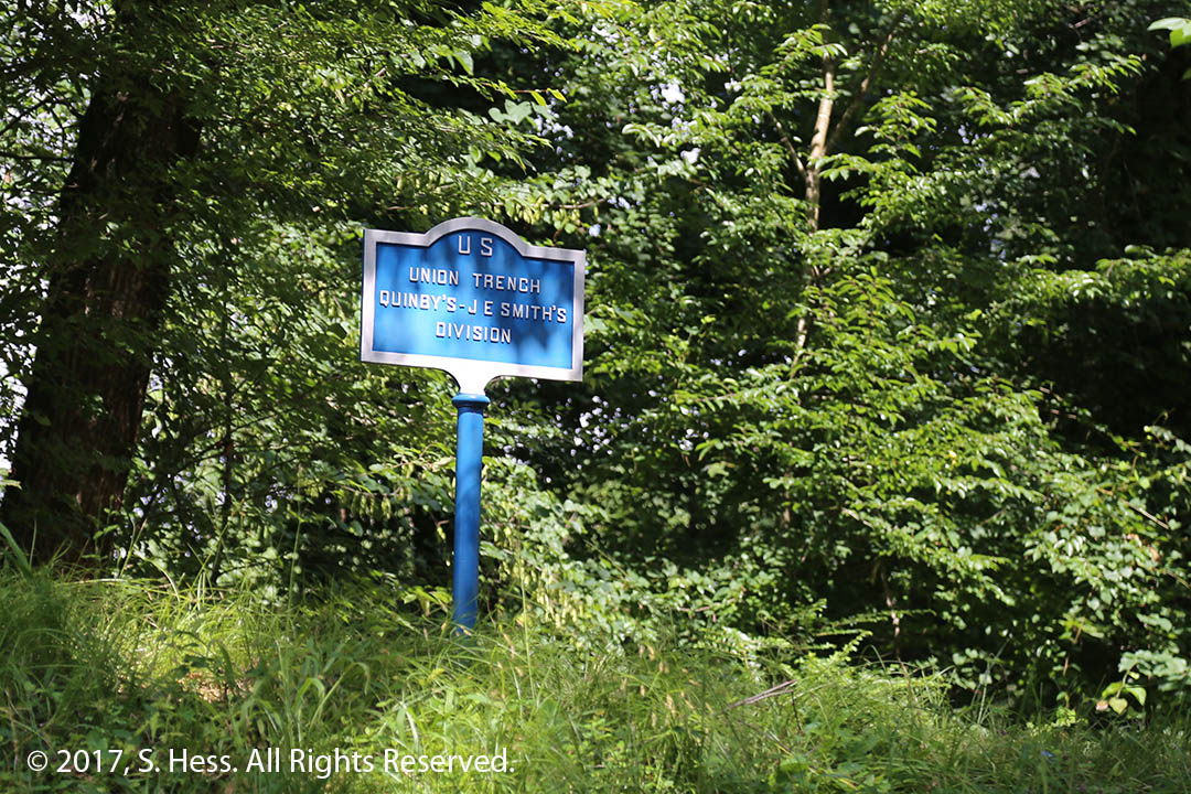
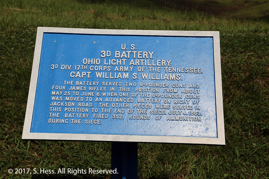
After the Civil War Union and Confederates soldiers worked to identify and mark battle lines and unit positions. The Battle of Vicksburg is one of the best marked battlefields.
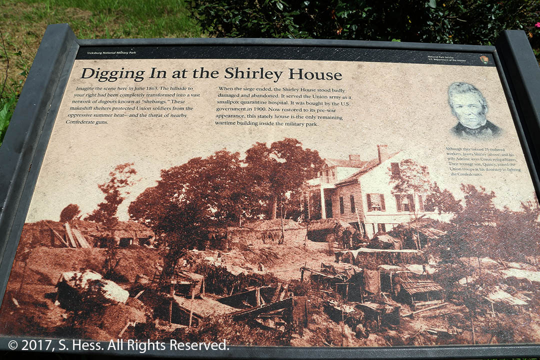
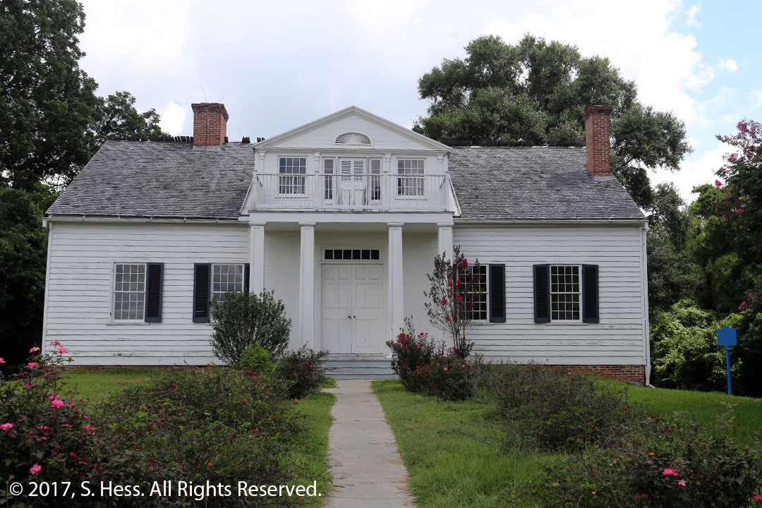
Union line marker. Confederate markers have a red background.Detailed Position Marker3rd Battery Ohio Light Artillery position.This picture depicts the Shirley house during the Siege of VicksburgThe Shirley House today. Its owners were slaveholder that were sympathetic to the Union cause. The teenage son was a Union Army volunteer.
The Vicksburg Military Park has over 1,000 monuments. These monuments honor units from the states involved in the battle, as well as individuals.
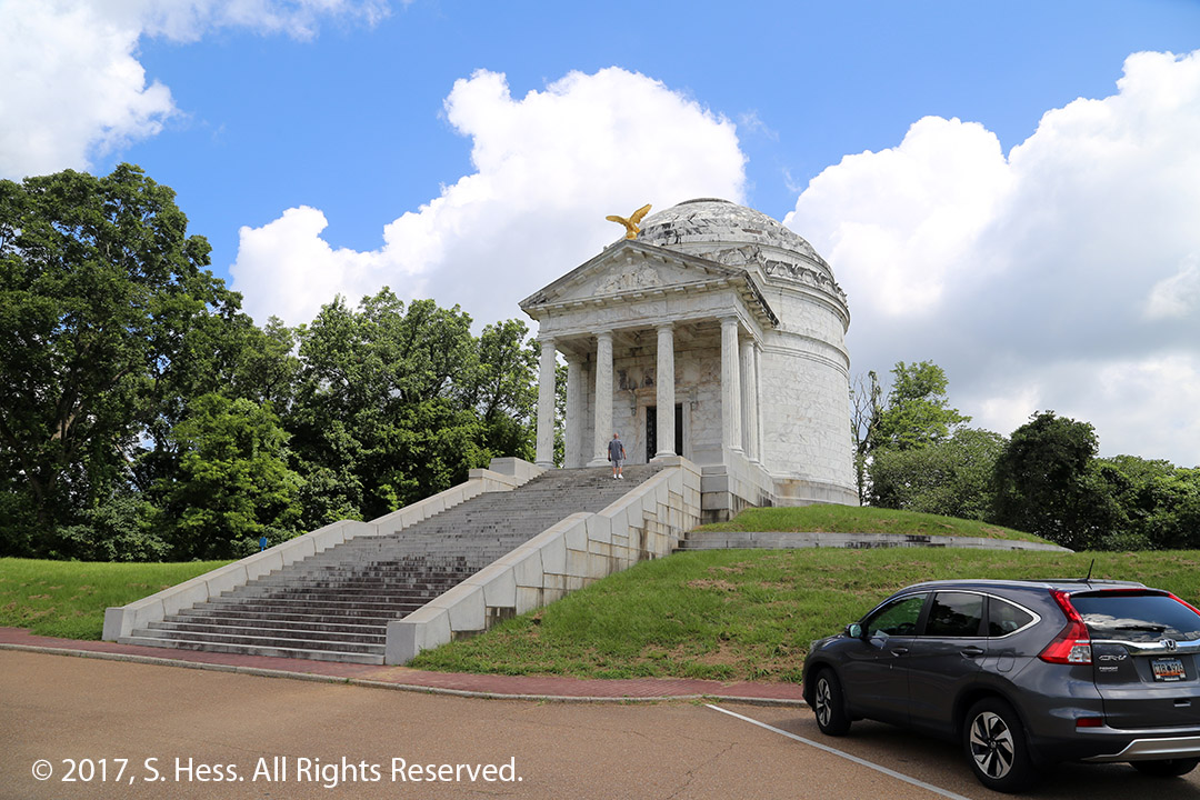
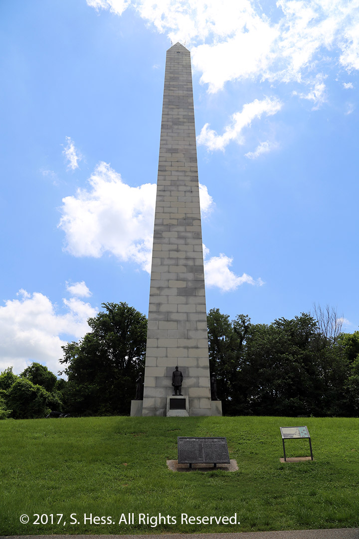
Illinois MonumentNavy Monument
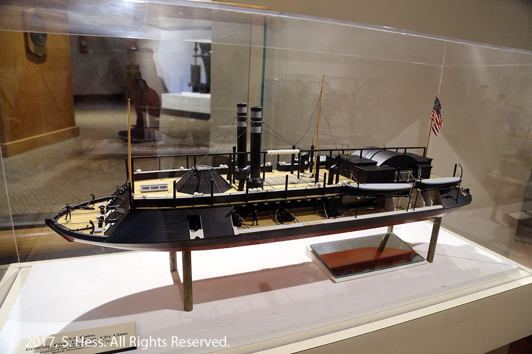
The USS Cairo Museum is within the Park and has the partially reconstructed ironclad gunboat.
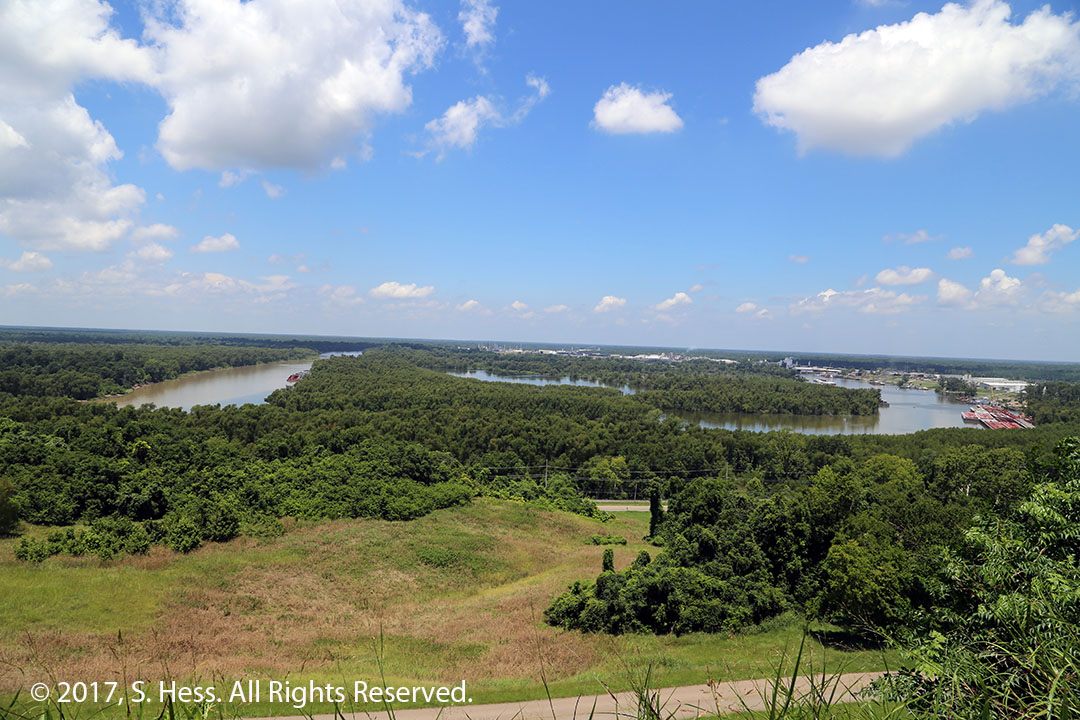
Partially reconstructed USS Cairo. It was sunk by a mine. All the crew members were rescued.Cutaway Model of the USS Cairo at the USS Cairo Museum.The Mississippi River used to flow below the bluffs, near the USS Cairo Museum, on the north side of Vicksburg. In 1876, the river suddenly changed course and now flows on the south side of the city. It put the port of Vicksburg out of business until the Yazoo River Diversion Canal was created allowing river traffic to access Vicksburg.
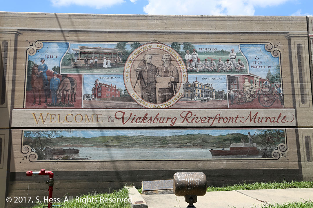
After touring the Park for about two hours, we headed for downtown Vicksburg and the levee that is supposed to protect the city from flooding. Just like Paducah, the levee wall has become a place for murals. Leaving the levee, we followed the Vicksburg Scenic Tour for part of its route. The temperature had reached 97 degrees and we figured it was time to get into the air-conditioned hotel room.
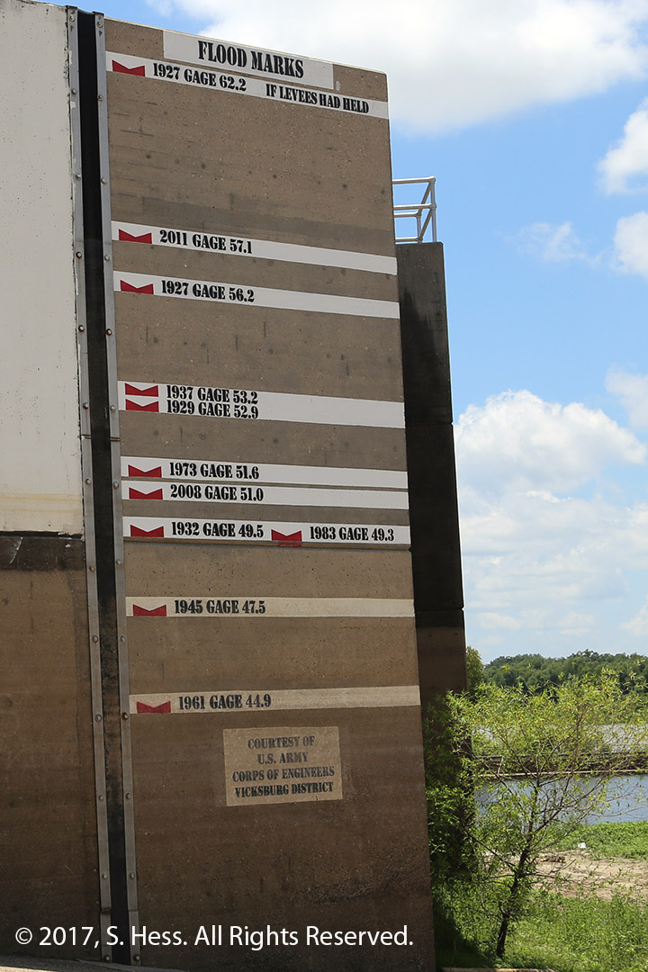
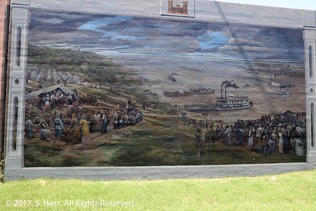
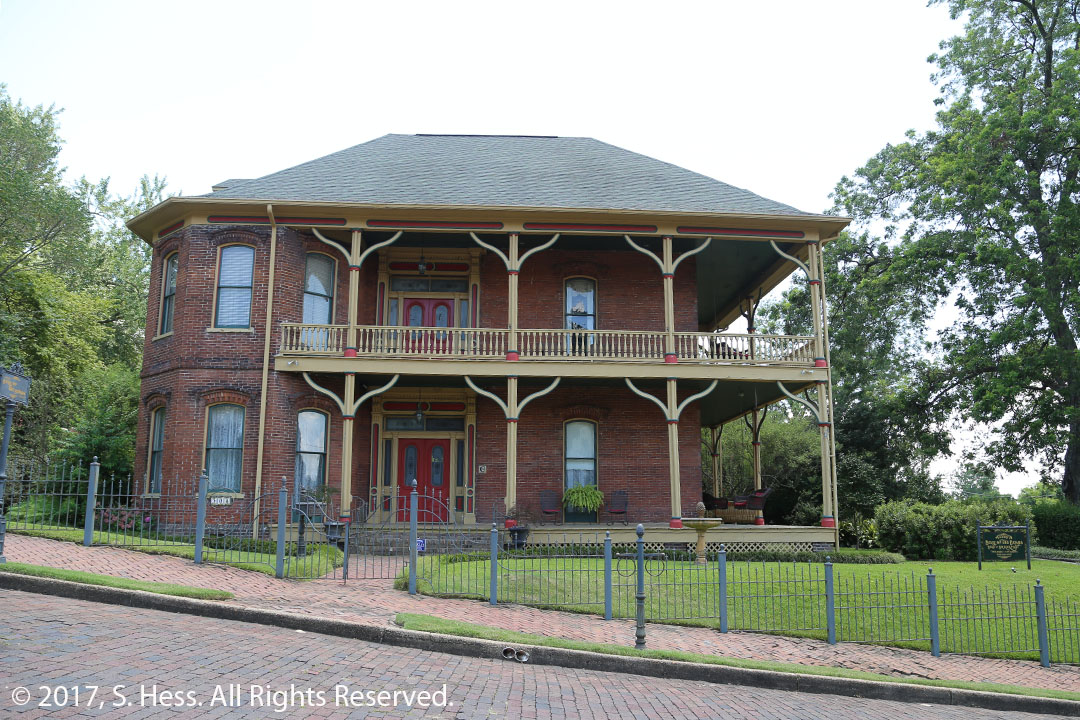
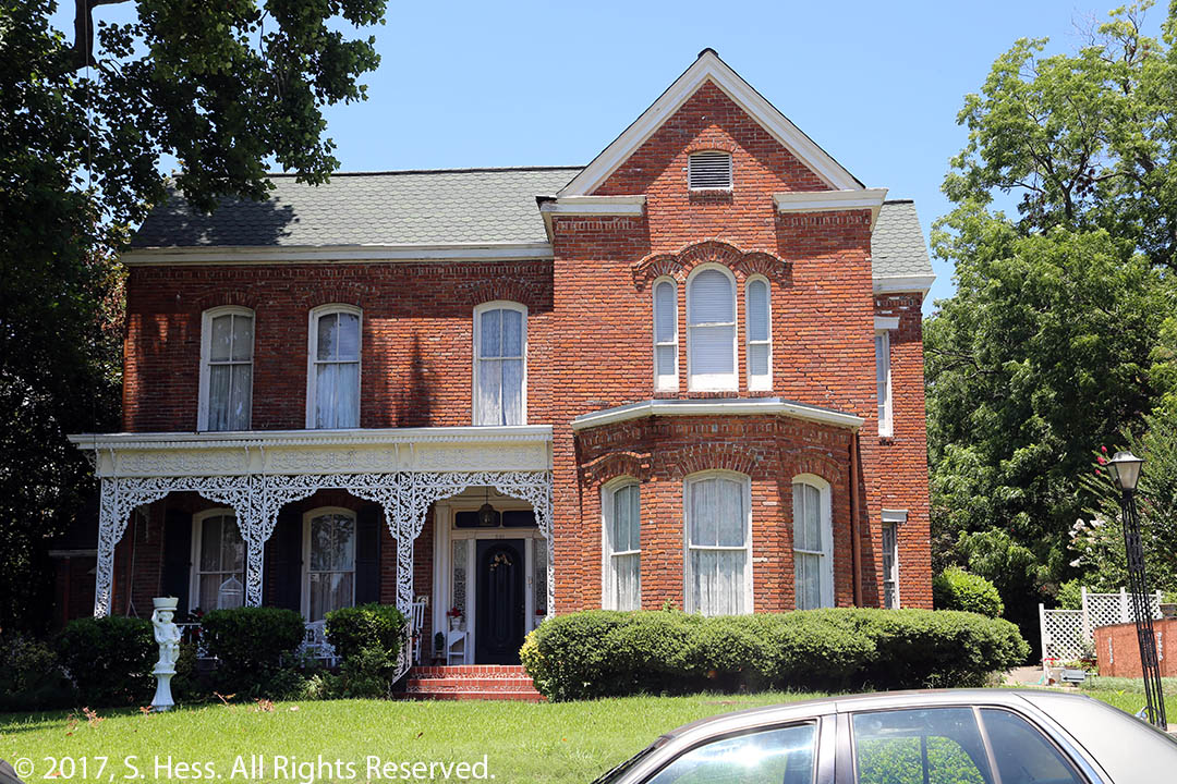
The Vicksburg Flood wall has a series of murals representing scenes of the city’s history.Flood crest markings on the levee wall. In the 1927 flood, the levee failed before the river crested at 62.2 feet.This mural shows the aftermath of the 1927 flood. Thousands of people had to be evacuated by steamers and barges. See flood crest markers below.Belle of the Bends, built in 1876 is one of the houses on the Vicksburg Scenic Trail.Baer House completed in 1870.